
| Memorials | : | 21 |
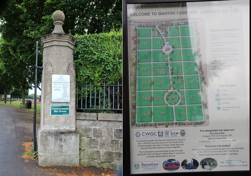
| Location | : | Worksop, Bassetlaw District, England |
| Coordinate | : | 53.3021540, -1.1010040 |
frequently asked questions (FAQ):
-
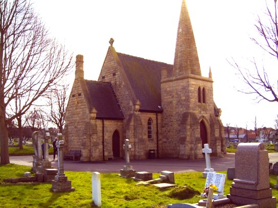
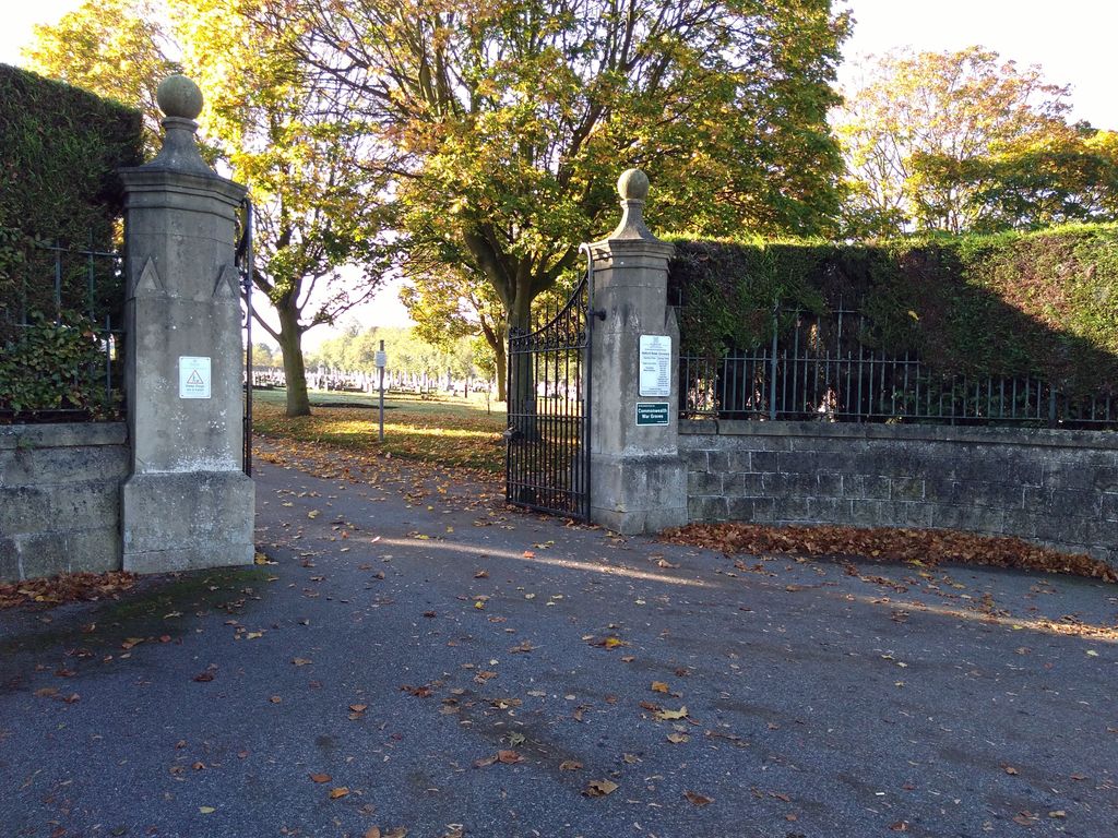
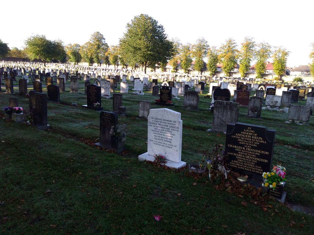
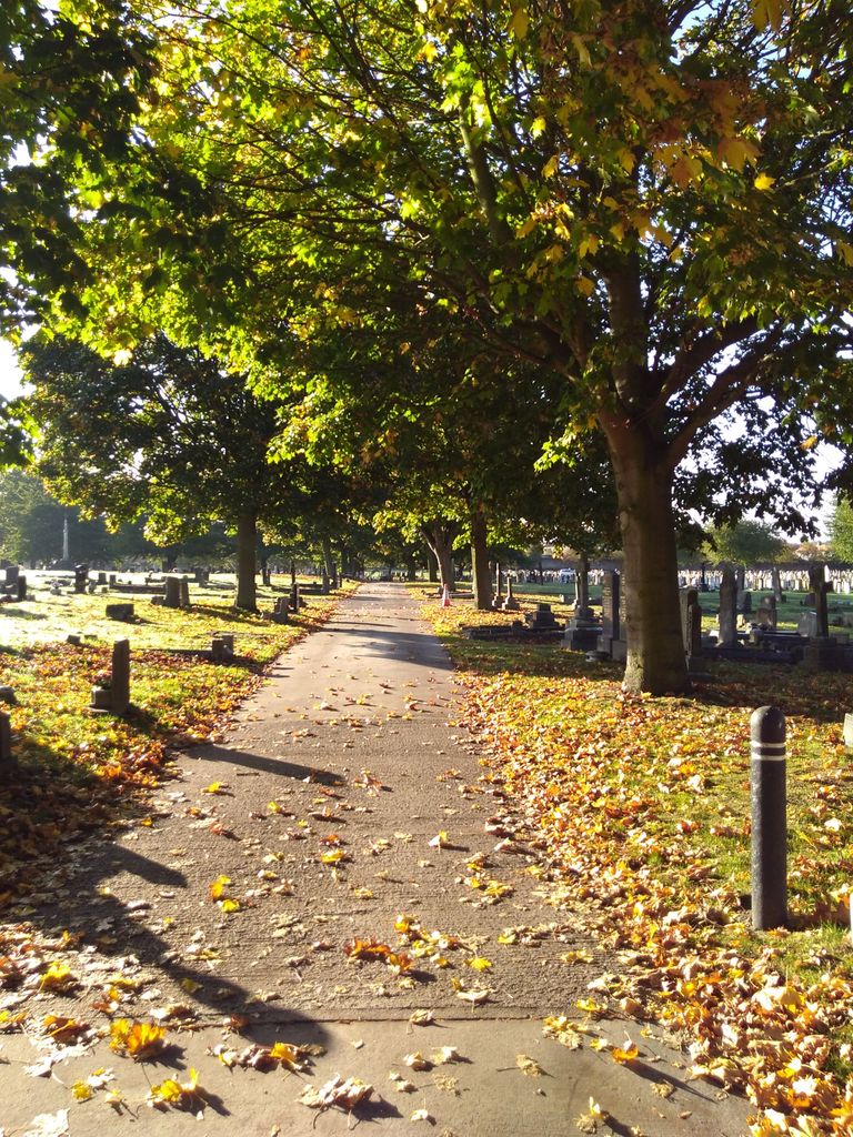
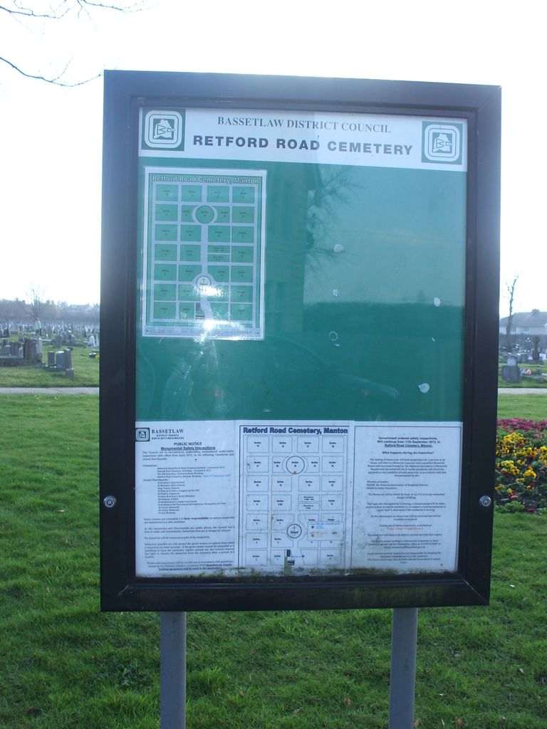
Where is Retford Road Cemetery?
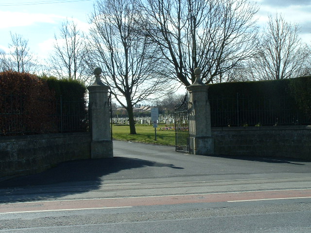
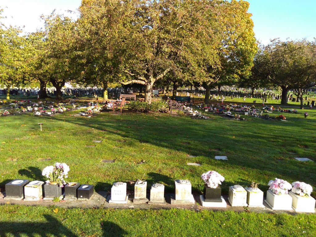
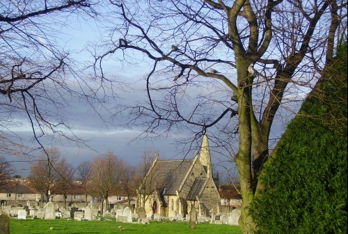
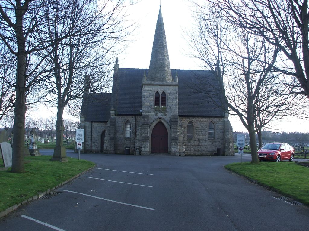
Retford Road Cemetery is located at Retford Road Worksop, Bassetlaw District ,Nottinghamshire ,England.
-
Retford Road Cemetery cemetery's updated grave count on graveviews.com?
21 memorials
-
Where are the coordinates of the Retford Road Cemetery?
Latitude: 53.3021540
Longitude: -1.1010040

Nearby Cemetories:
1. Worksop Priory
Worksop, Bassetlaw District, England
Coordinate: 53.3039030, -1.1150690
2. St. John the Evangelist Churchyard
Worksop, Bassetlaw District, England
Coordinate: 53.3161600, -1.0584800
3. Saint John the Evangelist Churchyard
Carlton-in-Lindrick, Bassetlaw District, England
Coordinate: 53.3486389, -1.1180278
4. St. Giles Churchyard
Carburton, Bassetlaw District, England
Coordinate: 53.2530500, -1.0855200
5. All Saints Chapel
Bolsover District, England
Coordinate: 53.3027370, -1.1859097
6. St. George's Churchyard
Woodsetts, Metropolitan Borough of Rotherham, England
Coordinate: 53.3476000, -1.1729800
7. St. Winifred Churchyard
Holbeck, Bassetlaw District, England
Coordinate: 53.2536780, -1.1817640
8. Saint Lawrence Churchyard
Whitwell, Bolsover District, England
Coordinate: 53.2859088, -1.2126154
9. St. Mary's Churchyard
Norton, Bassetlaw District, England
Coordinate: 53.2364800, -1.1530400
10. St. Peter's Churchyard
Thorpe Salvin, Metropolitan Borough of Rotherham, England
Coordinate: 53.3247920, -1.2200350
11. Blyth City Cemetery
Blyth, Bassetlaw District, England
Coordinate: 53.3729000, -1.0592000
12. Langold Cemetery
Worksop, Bassetlaw District, England
Coordinate: 53.3777600, -1.1170100
13. St. Mary Magdalene's Churchyard
Creswell, Bolsover District, England
Coordinate: 53.2630820, -1.2132450
14. St Mary Magdalene Churchyard
Creswell, Stafford Borough, England
Coordinate: 53.2631170, -1.2132800
15. St. Mary & St. Martin Churchyard
Blyth, Bassetlaw District, England
Coordinate: 53.3785000, -1.0642000
16. All Saints Churchyard
Babworth, Bassetlaw District, England
Coordinate: 53.3201112, -0.9710090
17. Anston Burial Ground
Anston, Metropolitan Borough of Rotherham, England
Coordinate: 53.3452140, -1.2139500
18. St. John The Evangelist Church
Nottingham Unitary Authority, England
Coordinate: 53.2317530, -1.0345260
19. St. John the Evangelist Churchyard
Perlethorpe, Newark and Sherwood District, England
Coordinate: 53.2317600, -1.0344800
20. St. Peter's Churchyard
Letwell, Metropolitan Borough of Rotherham, England
Coordinate: 53.3773774, -1.1606489
21. St. James' Churchyard
Anston, Metropolitan Borough of Rotherham, England
Coordinate: 53.3476690, -1.2208800
22. St Helen's Roman Catholic Churchyard
Nottingham, Nottingham Unitary Authority, England
Coordinate: 53.3903220, -1.1131860
23. St. Lukes Whaley Thorns Burial Ground
Nether Langwith, Bassetlaw District, England
Coordinate: 53.2383210, -1.2034396
24. Park Avenue Cemetery
Dinnington St John's, Metropolitan Borough of Rotherham, England
Coordinate: 53.3633710, -1.2100700