
| Memorials | : | 0 |
| Location | : | Waterstock, South Oxfordshire District, England |
| Coordinate | : | 51.7451800, -1.0807500 |
frequently asked questions (FAQ):
-
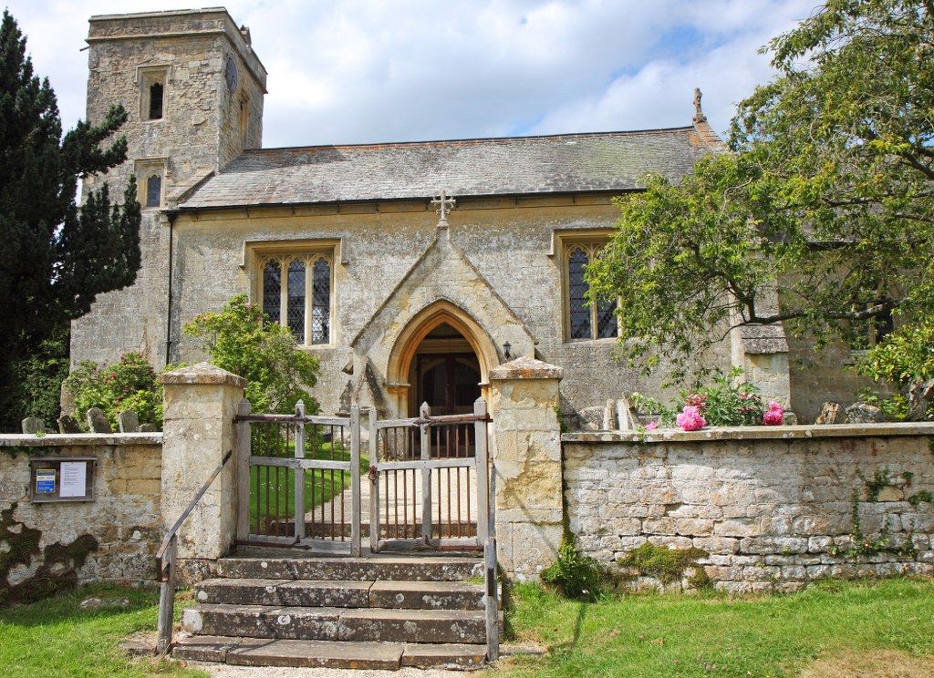
Where is Saint Leonard's Churchyard?
Saint Leonard's Churchyard is located at Waterstock, South Oxfordshire District ,Oxfordshire ,England.
-
Saint Leonard's Churchyard cemetery's updated grave count on graveviews.com?
0 memorials
-
Where are the coordinates of the Saint Leonard's Churchyard?
Latitude: 51.7451800
Longitude: -1.0807500
Nearby Cemetories:
1. St Mary's Churchyard
Waterperry, South Oxfordshire District, England
Coordinate: 51.7521000, -1.0894000
2. St Helen Churchyard
Albury, South Oxfordshire District, England
Coordinate: 51.7406280, -1.0519520
3. St. Nicholas' Churchyard
Ickford, Aylesbury Vale District, England
Coordinate: 51.7614648, -1.0656459
4. St Bartholomew Churchyard
Holton, South Oxfordshire District, England
Coordinate: 51.7529490, -1.1246510
5. St Mary the Virgin Churchyard
Great Milton, South Oxfordshire District, England
Coordinate: 51.7170320, -1.0921100
6. Rycote Chapel
Great Haseley, South Oxfordshire District, England
Coordinate: 51.7366100, -1.0355370
7. St. Mary Magdalene Churchyard
Shabbington, Aylesbury Vale District, England
Coordinate: 51.7554420, -1.0357510
8. St Mary the Virgin Churchyard
Wheatley, South Oxfordshire District, England
Coordinate: 51.7476020, -1.1366080
9. St Peter Churchyard
Great Haseley, South Oxfordshire District, England
Coordinate: 51.7102600, -1.0693200
10. Wheatley War Memorial
Wheatley, South Oxfordshire District, England
Coordinate: 51.7468630, -1.1388780
11. All Saints Churchyard
Cuddesdon, South Oxfordshire District, England
Coordinate: 51.7230140, -1.1316130
12. North Weston Chapel
Thame, South Oxfordshire District, England
Coordinate: 51.7433420, -1.0153490
13. St James Churchyard
Little Milton, South Oxfordshire District, England
Coordinate: 51.7019280, -1.1072800
14. St. Nicholas' Church
Forest Hill, South Oxfordshire District, England
Coordinate: 51.7641400, -1.1567200
15. Forest Hill Church Cemetery
Forest Hill, South Oxfordshire District, England
Coordinate: 51.7641700, -1.1567100
16. St Giles Churchyard
Tetsworth, South Oxfordshire District, England
Coordinate: 51.7085800, -1.0086700
17. St. Giles' Churchyard
Horspath, South Oxfordshire District, England
Coordinate: 51.7397190, -1.1738770
18. Saint Mary's Churchyard
Garsington, South Oxfordshire District, England
Coordinate: 51.7140100, -1.1600700
19. St Mary Churchyard
Oakley, Aylesbury Vale District, England
Coordinate: 51.8054770, -1.0704700
20. Baptist Chapel Burial Ground
Long Crendon, Aylesbury Vale District, England
Coordinate: 51.7730713, -0.9929426
21. Saint Mary The Virgin Churchyard
Thame, South Oxfordshire District, England
Coordinate: 51.7511750, -0.9819190
22. Saint John the Baptist
Stanton St John, South Oxfordshire District, England
Coordinate: 51.7800350, -1.1642830
23. St Mary the Virgin Churchyard
Long Crendon, Aylesbury Vale District, England
Coordinate: 51.7758380, -0.9890670
24. Thame War Memorial
Thame, South Oxfordshire District, England
Coordinate: 51.7452570, -0.9743330