| Memorials | : | 0 |
| Location | : | Shabbington, Aylesbury Vale District, England |
| Coordinate | : | 51.7554420, -1.0357510 |
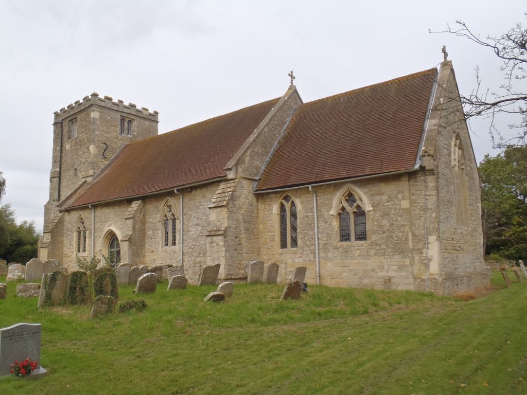
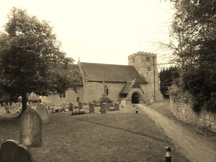
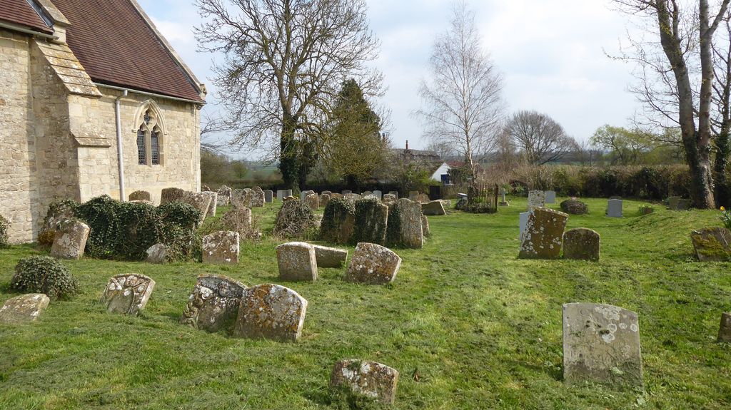
| Description | : | Shabbington is a village and civil parish in the Aylesbury Vale district of Buckinghamshire, England, about 3 miles (4.8 km) west of Thame (in Oxfordshire), and 7 miles (11 km) WSW of Aylesbury. The village was first recorded in the Domesday Book of 1086, when it was called Sobintone which is Old English for Scobba's Estate. Until very recently the village was known as Shobbington; it was only in the Victorian era that the name was changed to its current form. The earliest record of any manor of the village dates back to 1299, when a large property was... Read More |
frequently asked questions (FAQ):
-
Where is St. Mary Magdalene Churchyard?
St. Mary Magdalene Churchyard is located at Mill Road Shabbington, Aylesbury Vale District ,Buckinghamshire , HP18 9HQEngland.
-
St. Mary Magdalene Churchyard cemetery's updated grave count on graveviews.com?
0 memorials
-
Where are the coordinates of the St. Mary Magdalene Churchyard?
Latitude: 51.7554420
Longitude: -1.0357510
Nearby Cemetories:
1. North Weston Chapel
Thame, South Oxfordshire District, England
Coordinate: 51.7433420, -1.0153490
2. St Helen Churchyard
Albury, South Oxfordshire District, England
Coordinate: 51.7406280, -1.0519520
3. Rycote Chapel
Great Haseley, South Oxfordshire District, England
Coordinate: 51.7366100, -1.0355370
4. St. Nicholas' Churchyard
Ickford, Aylesbury Vale District, England
Coordinate: 51.7614648, -1.0656459
5. Saint Leonard's Churchyard
Waterstock, South Oxfordshire District, England
Coordinate: 51.7451800, -1.0807500
6. Baptist Chapel Burial Ground
Long Crendon, Aylesbury Vale District, England
Coordinate: 51.7730713, -0.9929426
7. St Mary's Churchyard
Waterperry, South Oxfordshire District, England
Coordinate: 51.7521000, -1.0894000
8. Saint Mary The Virgin Churchyard
Thame, South Oxfordshire District, England
Coordinate: 51.7511750, -0.9819190
9. St Mary the Virgin Churchyard
Long Crendon, Aylesbury Vale District, England
Coordinate: 51.7758380, -0.9890670
10. Thame War Memorial
Thame, South Oxfordshire District, England
Coordinate: 51.7452570, -0.9743330
11. St. Mary's Churchyard
Chilton, Aylesbury Vale District, England
Coordinate: 51.7988760, -1.0055490
12. St Peter Churchyard
Great Haseley, South Oxfordshire District, England
Coordinate: 51.7102600, -1.0693200
13. St Giles Churchyard
Tetsworth, South Oxfordshire District, England
Coordinate: 51.7085800, -1.0086700
14. Thame Park Chapel
Thame, South Oxfordshire District, England
Coordinate: 51.7290130, -0.9650540
15. St Mary the Virgin Churchyard
Great Milton, South Oxfordshire District, England
Coordinate: 51.7170320, -1.0921100
16. St Mary Churchyard
Oakley, Aylesbury Vale District, England
Coordinate: 51.8054770, -1.0704700
17. St Bartholomew Churchyard
Holton, South Oxfordshire District, England
Coordinate: 51.7529490, -1.1246510
18. St Nicholas Churchyard
Chearsley, Aylesbury Vale District, England
Coordinate: 51.7868900, -0.9571600
19. St Mary the Virgin Churchyard
Wheatley, South Oxfordshire District, England
Coordinate: 51.7476020, -1.1366080
20. St. Catherine Churchyard
Towersey, South Oxfordshire District, England
Coordinate: 51.7411700, -0.9360300
21. Wheatley War Memorial
Wheatley, South Oxfordshire District, England
Coordinate: 51.7468630, -1.1388780
22. All Saints Churchyard
Brill, Aylesbury Vale District, England
Coordinate: 51.8196440, -1.0490570
23. St John the Baptist
Dorton, Aylesbury Vale District, England
Coordinate: 51.8198434, -1.0162377
24. All Saints Churchyard
Cuddesdon, South Oxfordshire District, England
Coordinate: 51.7230140, -1.1316130


