
| Memorials | : | 0 |
| Location | : | Wirksworth, Derbyshire Dales District, England |
| Coordinate | : | 53.0856224, -1.5709003 |
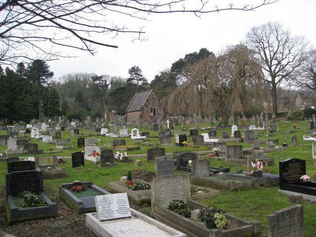
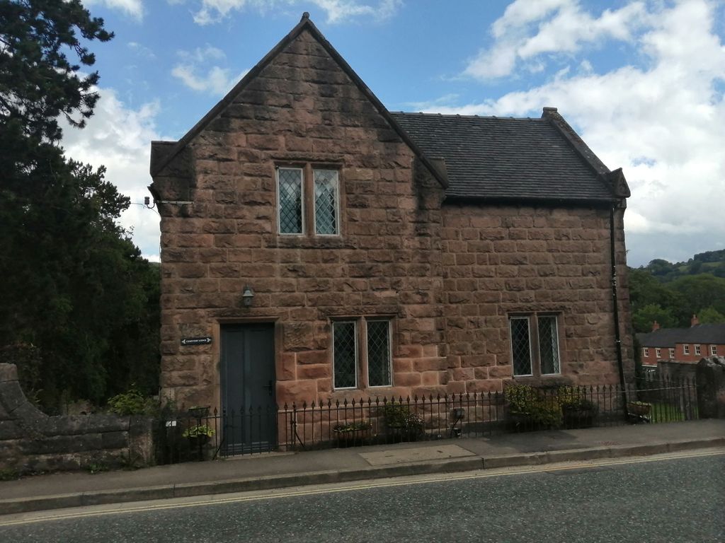
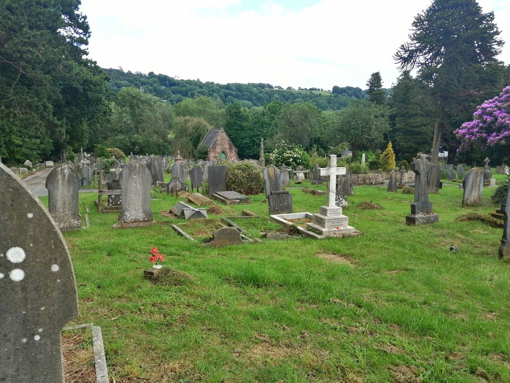
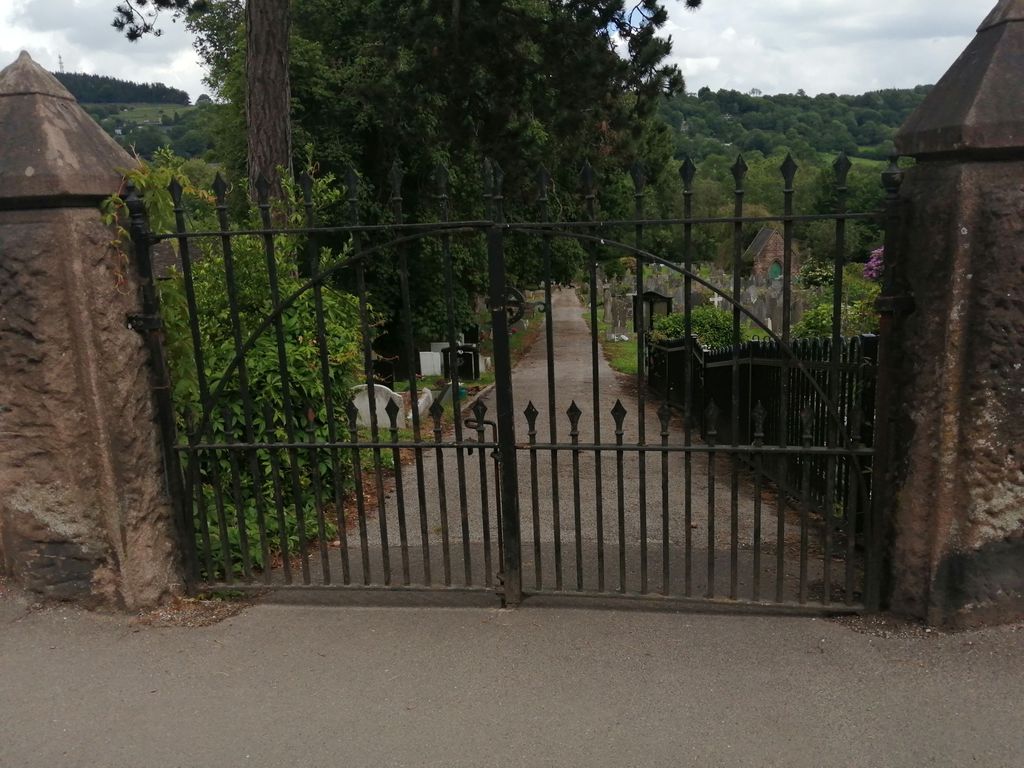
| Description | : | The cemetery of three acres was opened in 1854 in the north end of the town with two small mortuary chapels and consecrated in 1856, when the churchyard of St Mary the Virgin parish church was becoming full. In turn, it too was becoming full by the 1980s, and so a new cemetery was opened at Steeple Arch, also on Cromford Road but about a mile further out of the town in a northerly direction. |
frequently asked questions (FAQ):
-
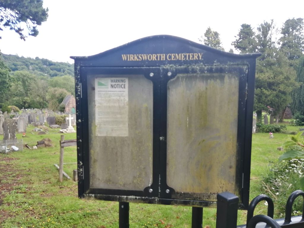
Where is Wirksworth Cemetery?
Wirksworth Cemetery is located at Cromford Road / Cemetery Lane Wirksworth, Derbyshire Dales District ,Derbyshire , DE4England.
-
Wirksworth Cemetery cemetery's updated grave count on graveviews.com?
0 memorials
-
Where are the coordinates of the Wirksworth Cemetery?
Latitude: 53.0856224
Longitude: -1.5709003
Nearby Cemetories:
1. Wirksworth Baptist Burial Ground
Wirksworth, Derbyshire Dales District, England
Coordinate: 53.0848778, -1.5709972
2. St. Mary's Church Vaults
Wirksworth, Derbyshire Dales District, England
Coordinate: 53.0819830, -1.5723380
3. St. Mary's Churchyard
Wirksworth, Derbyshire Dales District, England
Coordinate: 53.0819830, -1.5723380
4. Steeple Arch Cemetery
Wirksworth, Derbyshire Dales District, England
Coordinate: 53.0969820, -1.5688340
5. Holy Trinity Churchyard
Middleton by Wirksworth, Derbyshire Dales District, England
Coordinate: 53.0979228, -1.5860175
6. Middleton by Wirksworth Cemetery
Middleton by Wirksworth, Derbyshire Dales District, England
Coordinate: 53.1033860, -1.5919920
7. St. Mark's Churchyard
Cromford, Derbyshire Dales District, England
Coordinate: 53.1076550, -1.5647150
8. St. Mary's Churchyard
Cromford, Derbyshire Dales District, England
Coordinate: 53.1104260, -1.5538440
9. Holy Trinity Churchyard
Matlock Bath, Derbyshire Dales District, England
Coordinate: 53.1172020, -1.5612230
10. Alderwasley cemetery
Alderwasley, Amber Valley Borough, England
Coordinate: 53.0767150, -1.5186900
11. St. Margaret's Chapel
Alderwasley, Amber Valley Borough, England
Coordinate: 53.0769800, -1.5180550
12. St. James the Apostle Churchyard
Bonsall, Derbyshire Dales District, England
Coordinate: 53.1196200, -1.5832110
13. Dethick Lea and Holloway Cemetery
Holloway, Amber Valley Borough, England
Coordinate: 53.1075100, -1.5183800
14. Holy Trinity Churchyard
Kirk Ireton, Derbyshire Dales District, England
Coordinate: 53.0485040, -1.6002000
15. St. James' Churchyard
Idridgehay, Amber Valley Borough, England
Coordinate: 53.0377540, -1.5756560
16. St. Giles' Churchyard
Matlock, Derbyshire Dales District, England
Coordinate: 53.1343560, -1.5533960
17. St. James' Churchyard
Brassington, Derbyshire Dales District, England
Coordinate: 53.0858300, -1.6565000
18. Saint Mary's Churchyard
Crich, Amber Valley Borough, England
Coordinate: 53.0880100, -1.4819100
19. Holy Trinity Churchyard
Tansley, Derbyshire Dales District, England
Coordinate: 53.1353920, -1.5194670
20. St. Mary the Virgin Churchyard
South Darley, Derbyshire Dales District, England
Coordinate: 53.1498000, -1.6015000
21. All Saints Churchyard
Turnditch, Amber Valley Borough, England
Coordinate: 53.0160310, -1.5609380
22. St. John the Baptist Churchyard
Winster, Derbyshire Dales District, England
Coordinate: 53.1418016, -1.6434807
23. Christ Church Churchyard
Hulland, Derbyshire Dales District, England
Coordinate: 53.0235790, -1.6295860
24. Belper Cemetery
Belper, Amber Valley Borough, England
Coordinate: 53.0370590, -1.4793930