
| Memorials | : | 1 |
| Location | : | East Lydford, Mendip District, England |
| Coordinate | : | 51.0789630, -2.6117072 |
frequently asked questions (FAQ):
-
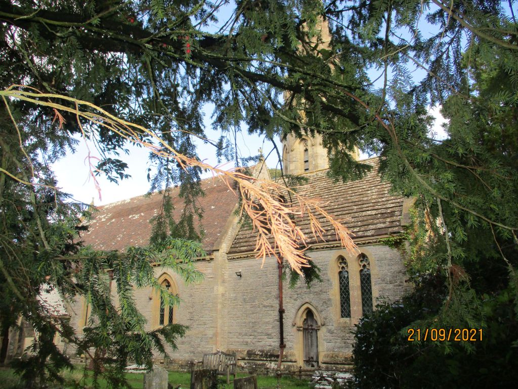
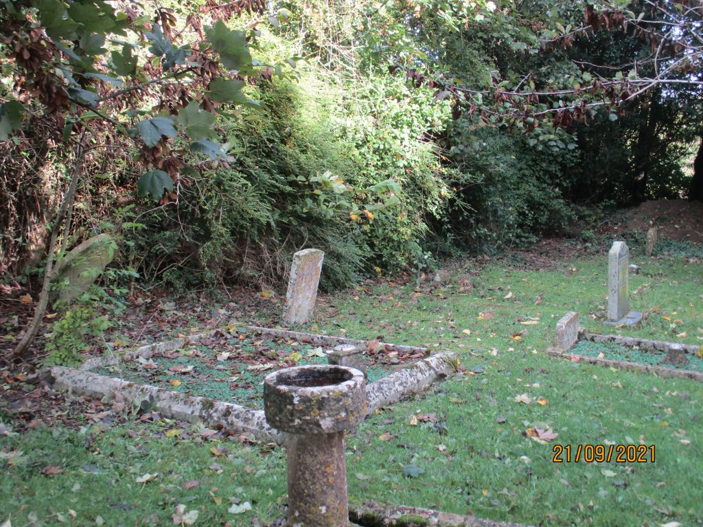
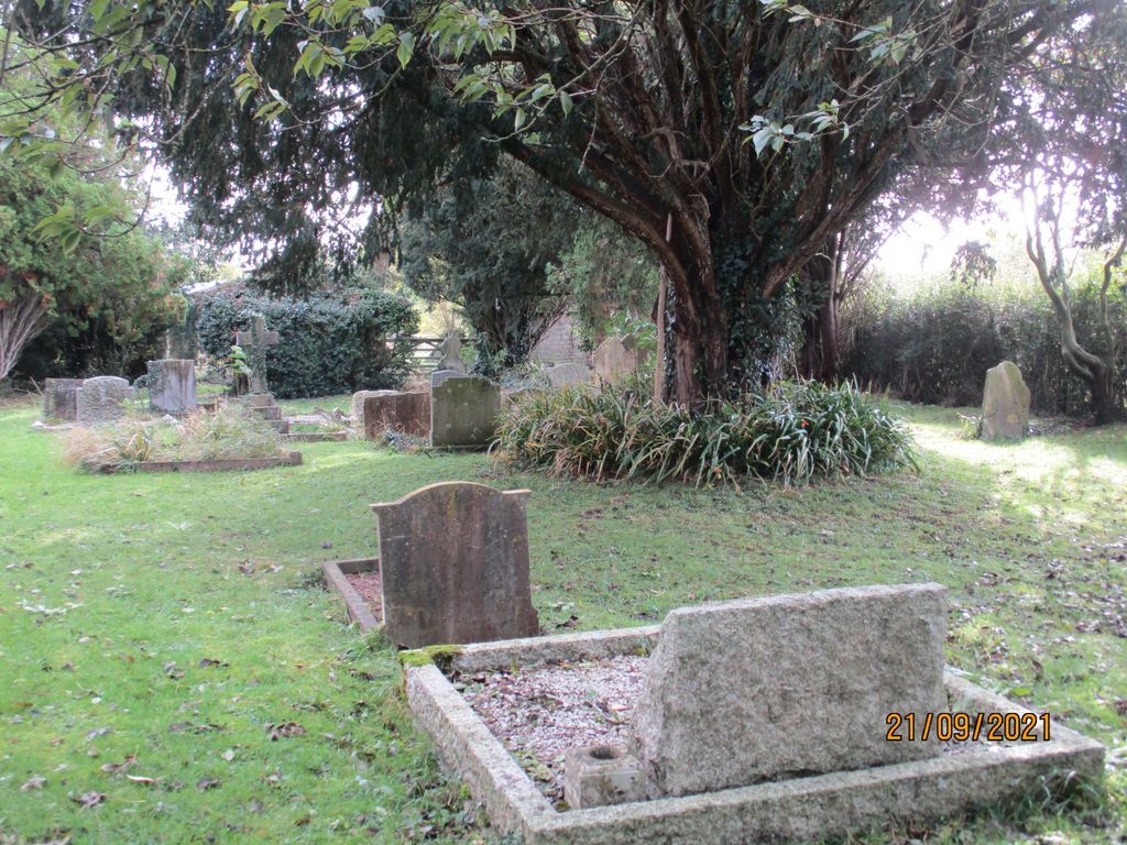
Where is Saint Mary's Churchyard?
Saint Mary's Churchyard is located at East Lydford, Mendip District ,Somerset ,England.
-
Saint Mary's Churchyard cemetery's updated grave count on graveviews.com?
1 memorials
-
Where are the coordinates of the Saint Mary's Churchyard?
Latitude: 51.0789630
Longitude: -2.6117072
Nearby Cemetories:
1. St Marys Churchyard
East Lydford, Mendip District, England
Coordinate: 51.0789890, -2.6116890
2. St Peters Churchyard
East Lydford, Mendip District, England
Coordinate: 51.0789840, -2.6116080
3. St. Peter Churchyard
Lydford-on-Fosse, Mendip District, England
Coordinate: 51.0846000, -2.6231400
4. Church of St Thomas of Canterbury
Lovington, South Somerset District, England
Coordinate: 51.0754000, -2.5771000
5. Holy Cross Churchyard
Babcary, South Somerset District, England
Coordinate: 51.0563609, -2.6268770
6. Saint Mary Magdalene Churchyard
Keinton Mandeville, South Somerset District, England
Coordinate: 51.0683291, -2.6471408
7. St. David's Churchyard
Barton St David, South Somerset District, England
Coordinate: 51.0828220, -2.6585470
8. St Peter's Church
Hornblotton, Mendip District, England
Coordinate: 51.1037752, -2.5846439
9. All Saint's Church
Alford, South Somerset District, England
Coordinate: 51.0916210, -2.5659300
10. St Nicolas' Churchyard
North Barrow, South Somerset District, England
Coordinate: 51.0623705, -2.5605033
11. St. Peter & St. Paul's Churchyard
Charlton Adam, South Somerset District, England
Coordinate: 51.0552350, -2.6647930
12. St. Dunstan Churchyard
Baltonsborough, Mendip District, England
Coordinate: 51.1107200, -2.6557600
13. All Saints Churchyard
Kingweston, South Somerset District, England
Coordinate: 51.0793076, -2.6791489
14. Church of the Virgin Mary
Charlton Mackrell, South Somerset District, England
Coordinate: 51.0524210, -2.6743894
15. Saint James Churchyard
West Bradley, Mendip District, England
Coordinate: 51.1293030, -2.6332386
16. St Leonard Churchyard
Butleigh, Mendip District, England
Coordinate: 51.1025800, -2.6868850
17. Castle Cary Cemetery
Castle Cary, South Somerset District, England
Coordinate: 51.0803800, -2.5223600
18. All Saints Churchyard
East Pennard, Mendip District, England
Coordinate: 51.1351890, -2.5773210
19. All Saints
Castle Cary, South Somerset District, England
Coordinate: 51.0865760, -2.5165400
20. Saint Barnabas Churchyard
Queen Camel, South Somerset District, England
Coordinate: 51.0225850, -2.5759270
21. St Andrew Churchyard
Ansford, South Somerset District, England
Coordinate: 51.0943350, -2.5180470
22. St. Peter’s Churchyard
Podimore, South Somerset District, England
Coordinate: 51.0219250, -2.6492310
23. St Nicholas Churchyard
West Pennard, Mendip District, England
Coordinate: 51.1415596, -2.6413050
24. St Mary Magdalene Churchyard
Ditcheat, Mendip District, England
Coordinate: 51.1250270, -2.5362010