
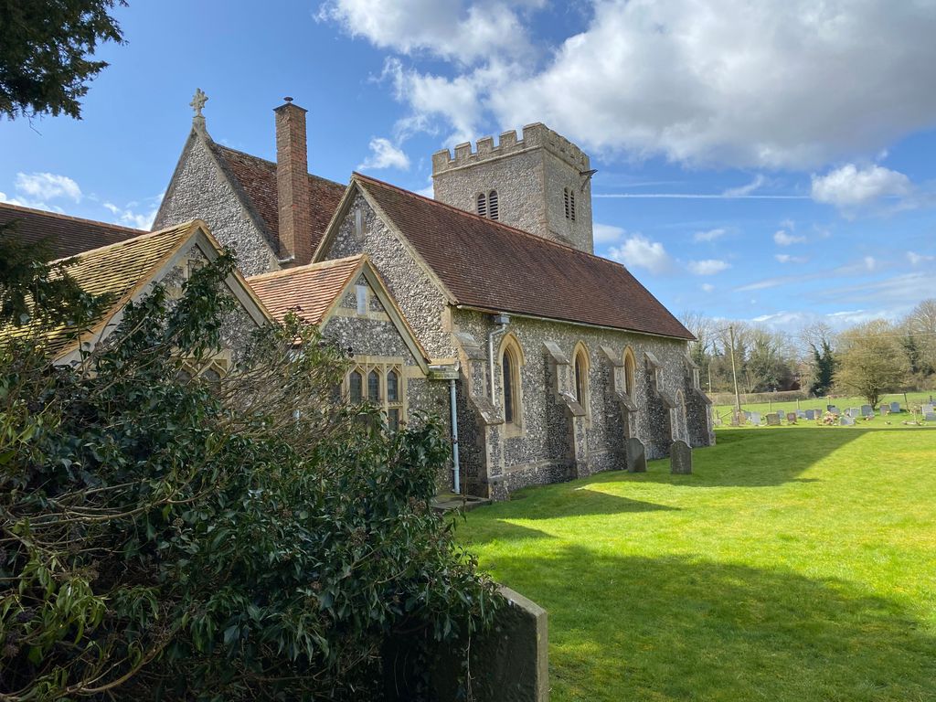
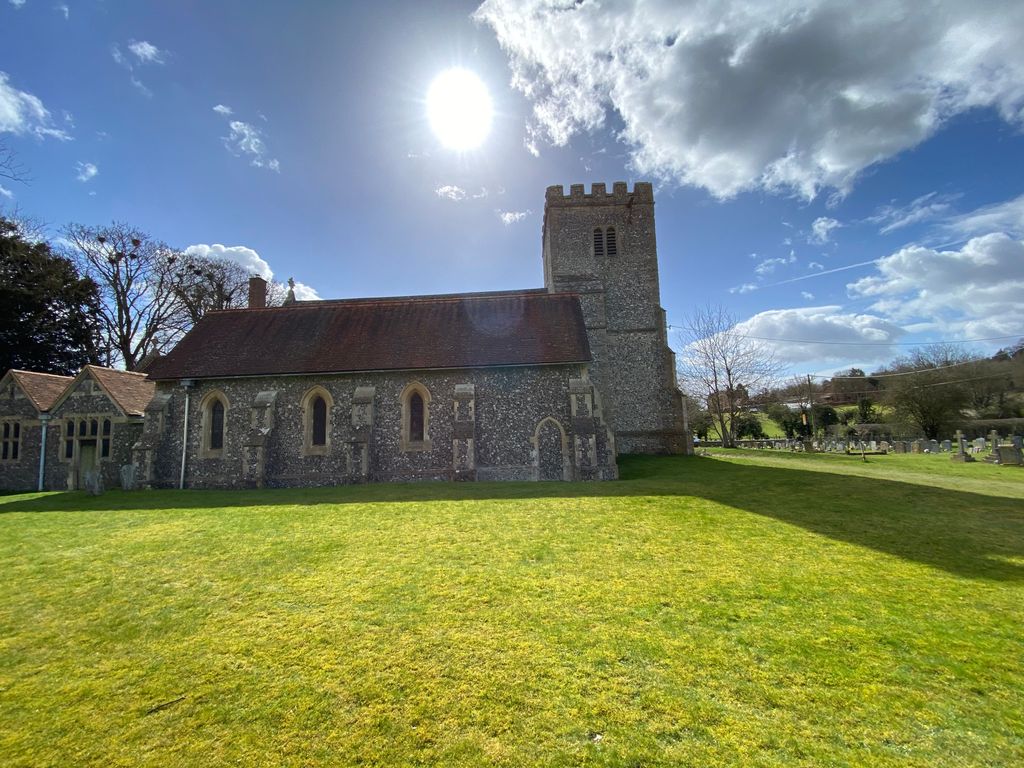
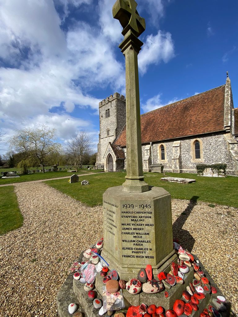
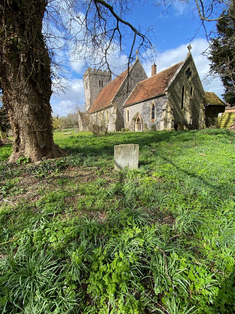
| Memorials | : | 0 |
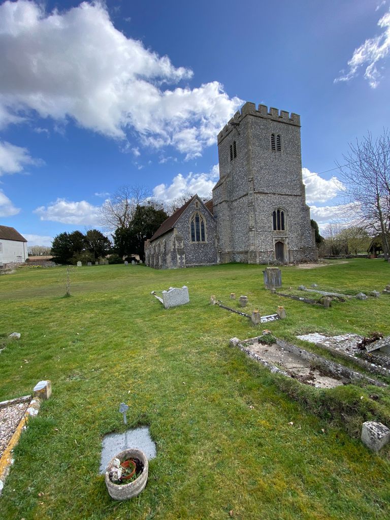
| Location | : | Compton, West Berkshire Unitary Authority, England |
| Coordinate | : | 51.5131760, -1.2430860 |
frequently asked questions (FAQ):
-
Where is Saint Mary and Saint Nicholas Churchyard?
Saint Mary and Saint Nicholas Churchyard is located at Compton, West Berkshire Unitary Authority ,Berkshire ,England.
-
Saint Mary and Saint Nicholas Churchyard cemetery's updated grave count on graveviews.com?
0 memorials
-
Where are the coordinates of the Saint Mary and Saint Nicholas Churchyard?
Latitude: 51.5131760
Longitude: -1.2430860
Nearby Cemetories:
1. St. Mary the Virgin Churchyard
Aldworth, West Berkshire Unitary Authority, England
Coordinate: 51.5106800, -1.2030150
2. St Marys Churchyard
East Ilsley, West Berkshire Unitary Authority, England
Coordinate: 51.5249930, -1.2903250
3. Isley Baptist Churchyard
East Ilsley, West Berkshire Unitary Authority, England
Coordinate: 51.5270990, -1.2896650
4. St Peter and St Paul Churchyard
Yattendon, West Berkshire Unitary Authority, England
Coordinate: 51.4671669, -1.2036310
5. St Michael Churchyard Extension
Blewbury, Vale of White Horse District, England
Coordinate: 51.5668100, -1.2429900
6. All Saints Churchyard
West Ilsley, West Berkshire Unitary Authority, England
Coordinate: 51.5393520, -1.3187210
7. St. Michael Churchyard
Blewbury, Vale of White Horse District, England
Coordinate: 51.5693100, -1.2346100
8. Holy Trinity Churchyard
Hermitage, West Berkshire Unitary Authority, England
Coordinate: 51.4578340, -1.2609900
9. St. Mary Churchyard
Streatley, West Berkshire Unitary Authority, England
Coordinate: 51.5240170, -1.1449500
10. All Saints Churchyard
Aston Upthorpe, South Oxfordshire District, England
Coordinate: 51.5715900, -1.2037500
11. St. Thomas of Canterbury Churchyard
Goring, South Oxfordshire District, England
Coordinate: 51.5221440, -1.1399970
12. St Michael's Cemetery
Aston Tirrold, South Oxfordshire District, England
Coordinate: 51.5730994, -1.1967145
13. Marlston Chapel
Bucklebury, West Berkshire Unitary Authority, England
Coordinate: 51.4442400, -1.2400690
14. St John the Baptist
Moulsford, South Oxfordshire District, England
Coordinate: 51.5531050, -1.1482640
15. St Andrew Churchyard
South Stoke, South Oxfordshire District, England
Coordinate: 51.5479065, -1.1377167
16. Buckhold (Holy Trinity) Churchyard
Pangbourne, West Berkshire Unitary Authority, England
Coordinate: 51.4710470, -1.1438470
17. St Andrew's Church
East Hagbourne, South Oxfordshire District, England
Coordinate: 51.5901700, -1.2427700
18. St. Andrew Churchyard
East Hagbourne, South Oxfordshire District, England
Coordinate: 51.5902000, -1.2430000
19. St Andrew Church Cemetery
East Hagbourne, South Oxfordshire District, England
Coordinate: 51.5912000, -1.2460500
20. Whitehill Burial Ground
Goring, South Oxfordshire District, England
Coordinate: 51.5214730, -1.1180180
21. St. John the Baptist South Moreton
South Moreton, South Oxfordshire District, England
Coordinate: 51.5881630, -1.1895850
22. St Mary the Virgin Churchyard
Bucklebury, West Berkshire Unitary Authority, England
Coordinate: 51.4341310, -1.2059030
23. South Moreton Strict Baptist Chapel
South Moreton, South Oxfordshire District, England
Coordinate: 51.5900300, -1.1924310
24. St. Mary's Churchyard
Cholsey, South Oxfordshire District, England
Coordinate: 51.5788078, -1.1589500