
| Memorials | : | 0 |
| Location | : | East Ilsley, West Berkshire Unitary Authority, England |
| Coordinate | : | 51.5270990, -1.2896650 |
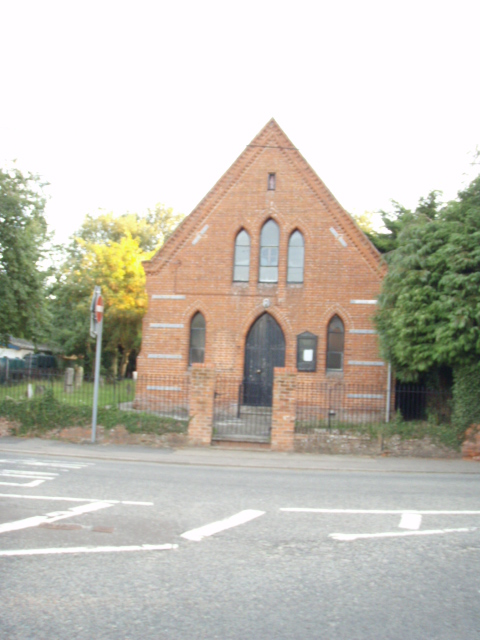
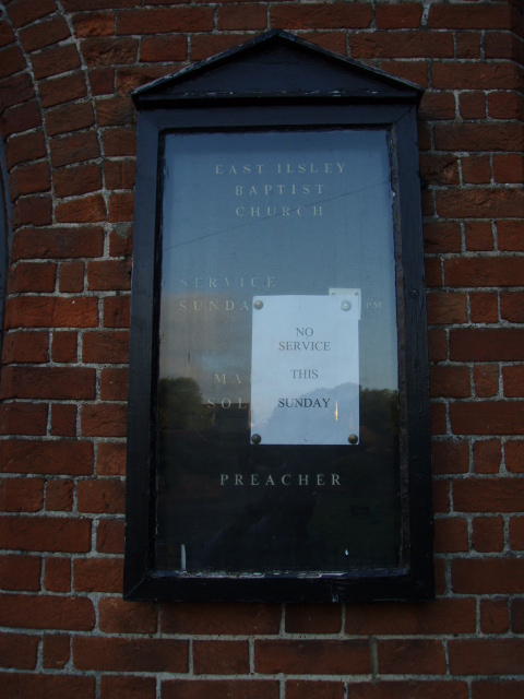
| Description | : | East Isley Baptist Church is a Grade 1 listed church |
frequently asked questions (FAQ):
-
Where is Isley Baptist Churchyard?
Isley Baptist Churchyard is located at East Ilsley, West Berkshire Unitary Authority ,Berkshire ,England.
-
Isley Baptist Churchyard cemetery's updated grave count on graveviews.com?
0 memorials
-
Where are the coordinates of the Isley Baptist Churchyard?
Latitude: 51.5270990
Longitude: -1.2896650
Nearby Cemetories:
1. St Marys Churchyard
East Ilsley, West Berkshire Unitary Authority, England
Coordinate: 51.5249930, -1.2903250
2. All Saints Churchyard
West Ilsley, West Berkshire Unitary Authority, England
Coordinate: 51.5393520, -1.3187210
3. Saint Mary and Saint Nicholas Churchyard
Compton, West Berkshire Unitary Authority, England
Coordinate: 51.5131760, -1.2430860
4. St Michael Churchyard Extension
Blewbury, Vale of White Horse District, England
Coordinate: 51.5668100, -1.2429900
5. All Saints Churchyard
Farnborough, West Berkshire Unitary Authority, England
Coordinate: 51.5346370, -1.3741600
6. St. Michael Churchyard
Blewbury, Vale of White Horse District, England
Coordinate: 51.5693100, -1.2346100
7. St. Mary the Virgin Churchyard
Aldworth, West Berkshire Unitary Authority, England
Coordinate: 51.5106800, -1.2030150
8. All Saints
Brightwalton, West Berkshire Unitary Authority, England
Coordinate: 51.5109870, -1.3860750
9. St. Andrew Churchyard
East Hagbourne, South Oxfordshire District, England
Coordinate: 51.5902000, -1.2430000
10. St Andrew's Church
East Hagbourne, South Oxfordshire District, England
Coordinate: 51.5901700, -1.2427700
11. All Saints Churchyard
Aston Upthorpe, South Oxfordshire District, England
Coordinate: 51.5715900, -1.2037500
12. St Andrew Church Cemetery
East Hagbourne, South Oxfordshire District, England
Coordinate: 51.5912000, -1.2460500
13. Saint Matthews Churchyard
Harwell, Vale of White Horse District, England
Coordinate: 51.5983510, -1.2908880
14. Harwell Cemetery
Harwell, Vale of White Horse District, England
Coordinate: 51.5985200, -1.2885900
15. Holy Trinity Churchyard
Hermitage, West Berkshire Unitary Authority, England
Coordinate: 51.4578340, -1.2609900
16. St Mary Roman Catholic Churchyard
East Hendred, Vale of White Horse District, England
Coordinate: 51.5937960, -1.3363240
17. St. Augustine of Canterbury Churchyard
East Hendred, Vale of White Horse District, England
Coordinate: 51.5944074, -1.3382489
18. St Michael's Cemetery
Aston Tirrold, South Oxfordshire District, England
Coordinate: 51.5730994, -1.1967145
19. Cat Street Cemetery
East Hendred, Vale of White Horse District, England
Coordinate: 51.5964877, -1.3397450
20. Holy Trinity Churchyard
West Hendred, Vale of White Horse District, England
Coordinate: 51.5916030, -1.3556760
21. St Andrew's Churchyard
Chaddleworth, West Berkshire Unitary Authority, England
Coordinate: 51.4969190, -1.4070694
22. All Saints Churchyard
Wantage, Vale of White Horse District, England
Coordinate: 51.5827496, -1.3822236
23. St Peter and St Paul Churchyard
Yattendon, West Berkshire Unitary Authority, England
Coordinate: 51.4671669, -1.2036310
24. Didcot Cemetery
Didcot, South Oxfordshire District, England
Coordinate: 51.6033500, -1.2438400