
| Memorials | : | 0 |
| Location | : | East Ilsley, West Berkshire Unitary Authority, England |
| Coordinate | : | 51.5249930, -1.2903250 |
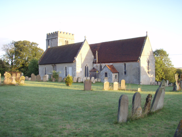
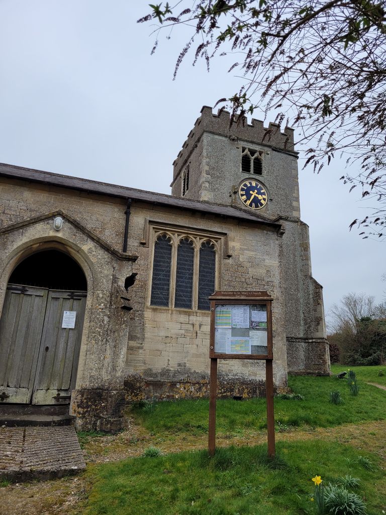
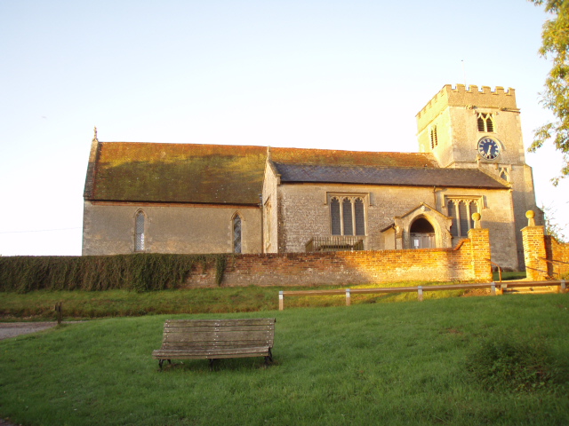
| Description | : | East Ilsley is a village and civil parish in the English county of Berkshire.It is situated in West Berkshire, north of Newbury very close to the A34 road which bypasses the village. In 1620 East Ilsley was granted a charter to hold a sheep market in the village, this became the second largest sheep market, after Smithfield, London.(text by 'wertypop') |
frequently asked questions (FAQ):
-
Where is St Marys Churchyard?
St Marys Churchyard is located at Church Hill East Ilsley, West Berkshire Unitary Authority ,Berkshire , RG20 7LUEngland.
-
St Marys Churchyard cemetery's updated grave count on graveviews.com?
0 memorials
-
Where are the coordinates of the St Marys Churchyard?
Latitude: 51.5249930
Longitude: -1.2903250
Nearby Cemetories:
1. Isley Baptist Churchyard
East Ilsley, West Berkshire Unitary Authority, England
Coordinate: 51.5270990, -1.2896650
2. All Saints Churchyard
West Ilsley, West Berkshire Unitary Authority, England
Coordinate: 51.5393520, -1.3187210
3. Saint Mary and Saint Nicholas Churchyard
Compton, West Berkshire Unitary Authority, England
Coordinate: 51.5131760, -1.2430860
4. St Michael Churchyard Extension
Blewbury, Vale of White Horse District, England
Coordinate: 51.5668100, -1.2429900
5. All Saints Churchyard
Farnborough, West Berkshire Unitary Authority, England
Coordinate: 51.5346370, -1.3741600
6. St. Mary the Virgin Churchyard
Aldworth, West Berkshire Unitary Authority, England
Coordinate: 51.5106800, -1.2030150
7. St. Michael Churchyard
Blewbury, Vale of White Horse District, England
Coordinate: 51.5693100, -1.2346100
8. All Saints
Brightwalton, West Berkshire Unitary Authority, England
Coordinate: 51.5109870, -1.3860750
9. Holy Trinity Churchyard
Hermitage, West Berkshire Unitary Authority, England
Coordinate: 51.4578340, -1.2609900
10. All Saints Churchyard
Aston Upthorpe, South Oxfordshire District, England
Coordinate: 51.5715900, -1.2037500
11. St. Andrew Churchyard
East Hagbourne, South Oxfordshire District, England
Coordinate: 51.5902000, -1.2430000
12. St Andrew's Church
East Hagbourne, South Oxfordshire District, England
Coordinate: 51.5901700, -1.2427700
13. St Andrew Church Cemetery
East Hagbourne, South Oxfordshire District, England
Coordinate: 51.5912000, -1.2460500
14. Saint Matthews Churchyard
Harwell, Vale of White Horse District, England
Coordinate: 51.5983510, -1.2908880
15. Harwell Cemetery
Harwell, Vale of White Horse District, England
Coordinate: 51.5985200, -1.2885900
16. St Mary Roman Catholic Churchyard
East Hendred, Vale of White Horse District, England
Coordinate: 51.5937960, -1.3363240
17. St Michael's Cemetery
Aston Tirrold, South Oxfordshire District, England
Coordinate: 51.5730994, -1.1967145
18. St. Augustine of Canterbury Churchyard
East Hendred, Vale of White Horse District, England
Coordinate: 51.5944074, -1.3382489
19. Cat Street Cemetery
East Hendred, Vale of White Horse District, England
Coordinate: 51.5964877, -1.3397450
20. St Andrew's Churchyard
Chaddleworth, West Berkshire Unitary Authority, England
Coordinate: 51.4969190, -1.4070694
21. Holy Trinity Churchyard
West Hendred, Vale of White Horse District, England
Coordinate: 51.5916030, -1.3556760
22. St Peter and St Paul Churchyard
Yattendon, West Berkshire Unitary Authority, England
Coordinate: 51.4671669, -1.2036310
23. All Saints Churchyard
Wantage, Vale of White Horse District, England
Coordinate: 51.5827496, -1.3822236
24. Didcot Cemetery
Didcot, South Oxfordshire District, England
Coordinate: 51.6033500, -1.2438400