
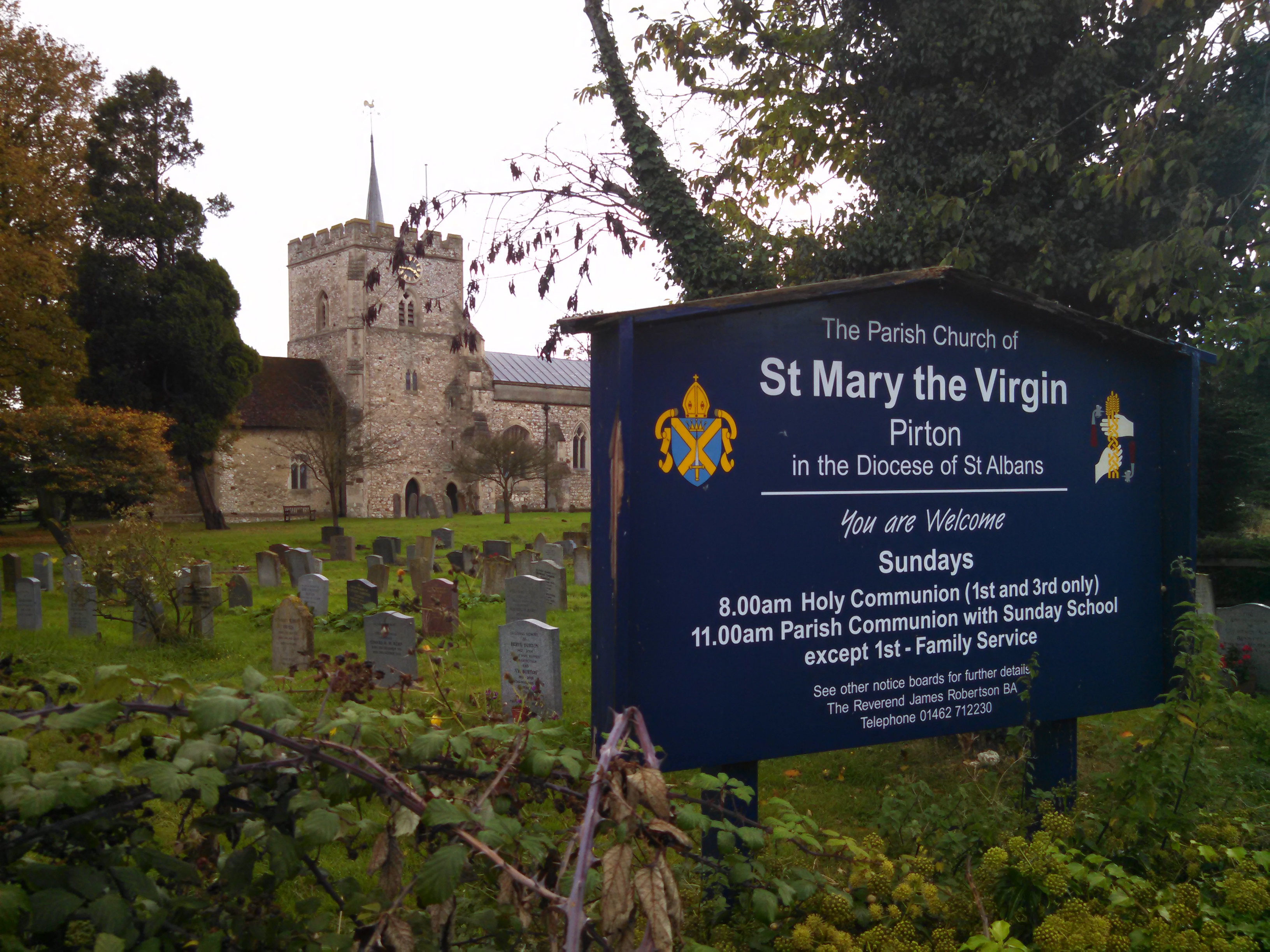
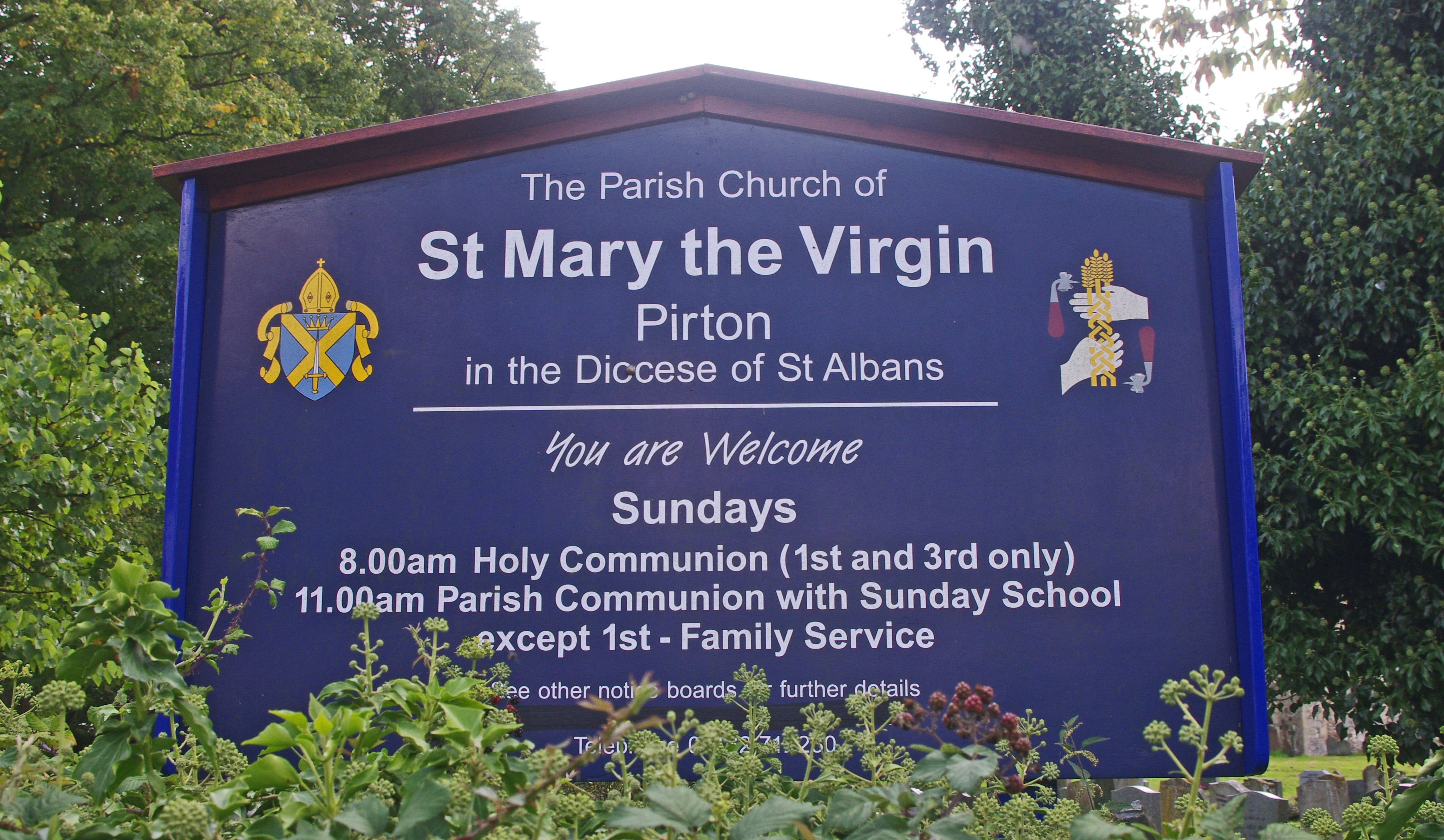
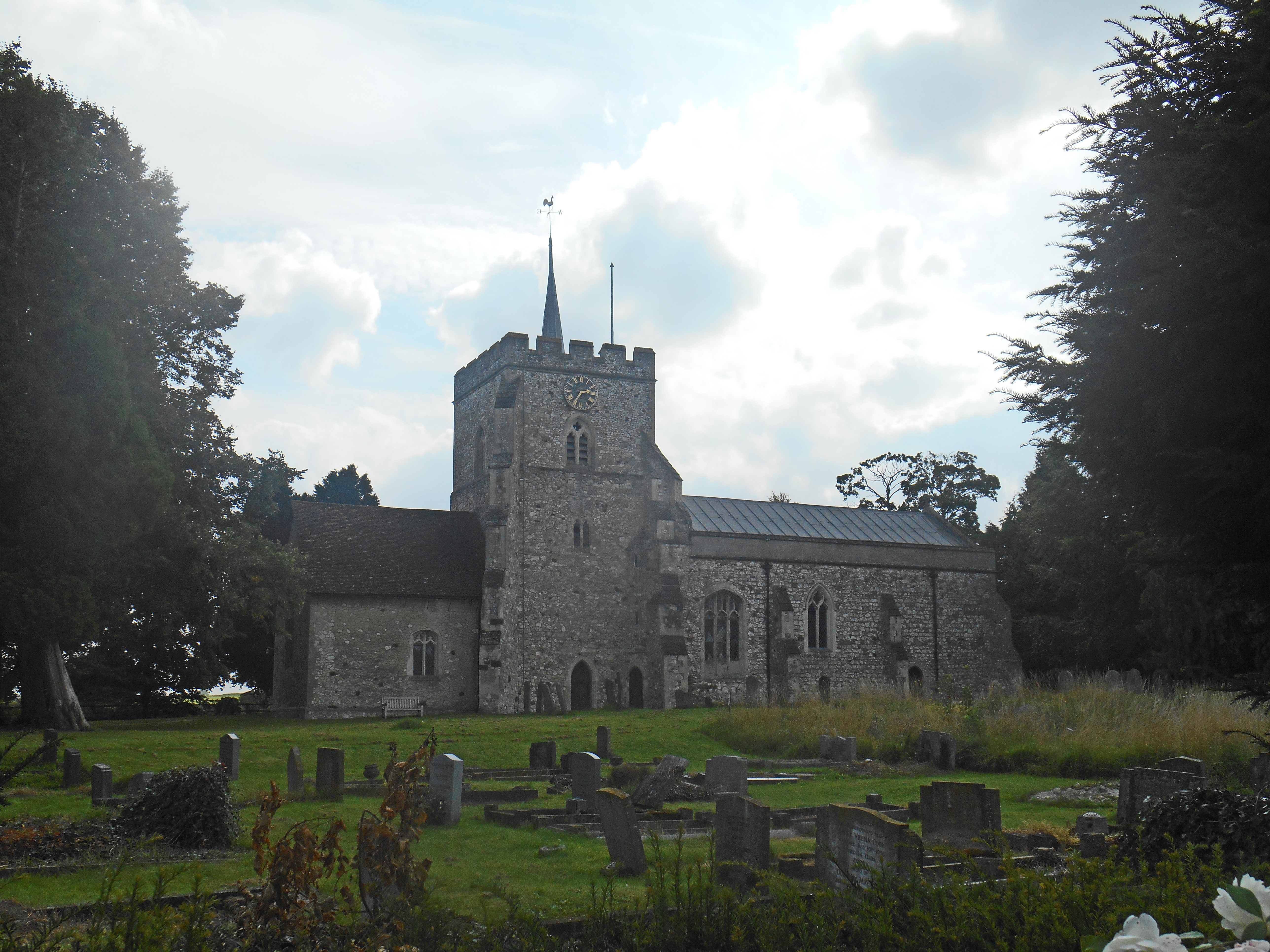
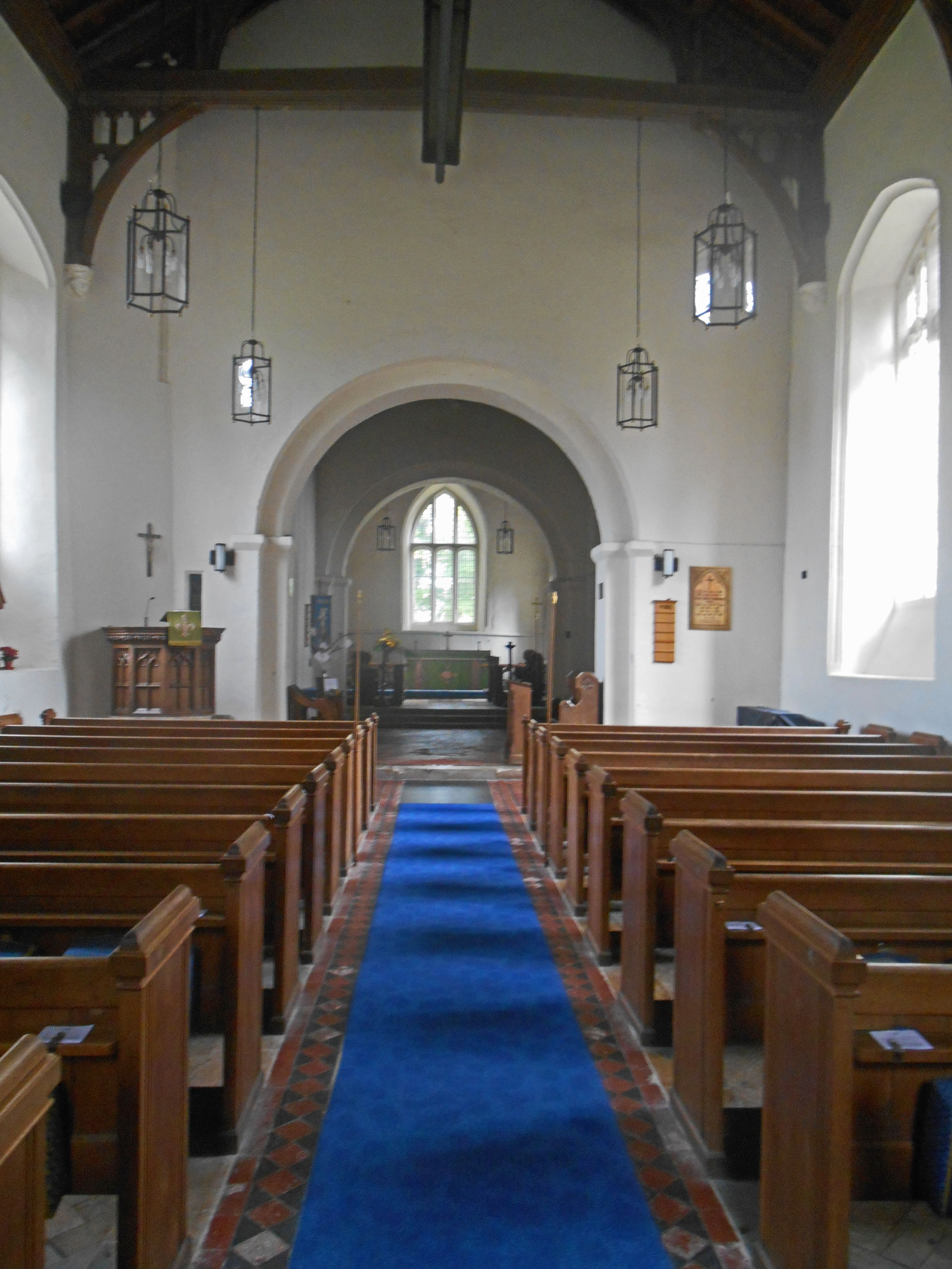
| Memorials | : | 1 |
| Location | : | Pirton, North Hertfordshire District, England |
| Coordinate | : | 51.9722000, -0.3316600 |
frequently asked questions (FAQ):
-
Where is Saint Mary the Virgin Churchyard?
Saint Mary the Virgin Churchyard is located at Pirton, North Hertfordshire District ,Hertfordshire ,England.
-
Saint Mary the Virgin Churchyard cemetery's updated grave count on graveviews.com?
1 memorials
-
Where are the coordinates of the Saint Mary the Virgin Churchyard?
Latitude: 51.9722000
Longitude: -0.3316600
Nearby Cemetories:
1. North Hertfordshire Memorial Park and Crematorium
Holwell, North Hertfordshire District, England
Coordinate: 51.9847244, -0.2967870
2. All Saints Churchyard
Shillington, Central Bedfordshire Unitary Authority, England
Coordinate: 51.9921700, -0.3648200
3. All Saints Churchyard
Upper Stondon, Central Bedfordshire Unitary Authority, England
Coordinate: 52.0065450, -0.3258350
4. St Mary the Virgin Churchyard
Meppershall, Central Bedfordshire Unitary Authority, England
Coordinate: 52.0102000, -0.3483000
5. St Margaret Churchyard
Higham Gobion, Central Bedfordshire Unitary Authority, England
Coordinate: 51.9825550, -0.3942590
6. St. Faith's Churchyard
Hexton, North Hertfordshire District, England
Coordinate: 51.9609275, -0.3944721
7. St Mary Magdalene Churchyard
Offley, North Hertfordshire District, England
Coordinate: 51.9277300, -0.3357400
8. St Marys Churchyard
Gravenhurst, Central Bedfordshire Unitary Authority, England
Coordinate: 52.0045690, -0.3821720
9. Hitchin Cemetery
Hitchin, North Hertfordshire District, England
Coordinate: 51.9429090, -0.2732690
10. St Giles Churchyard
Gravenhurst, Central Bedfordshire Unitary Authority, England
Coordinate: 52.0112000, -0.3797000
11. Icknield Way Cemetery
Letchworth, North Hertfordshire District, England
Coordinate: 51.9787300, -0.2506100
12. Wilbury Hills Cemetery
Letchworth, North Hertfordshire District, England
Coordinate: 51.9862210, -0.2474770
13. All Saints Churchyard
Campton, Central Bedfordshire Unitary Authority, England
Coordinate: 52.0295430, -0.3544430
14. Fairfield Hospital Cemetery
Stotfold, Central Bedfordshire Unitary Authority, England
Coordinate: 52.0040420, -0.2495440
15. St Ippolyts Church
St Ippolyts, North Hertfordshire District, England
Coordinate: 51.9298460, -0.2591680
16. Campton and Shefford Cemetery
Campton, Central Bedfordshire Unitary Authority, England
Coordinate: 52.0351600, -0.3483720
17. St. Peter's Churchyard
Arlesey, Central Bedfordshire Unitary Authority, England
Coordinate: 52.0234710, -0.2643140
18. Chicksands Priory
Chicksands, Central Bedfordshire Unitary Authority, England
Coordinate: 52.0370000, -0.3600000
19. St James the Great Churchyard
Silsoe, Central Bedfordshire Unitary Authority, England
Coordinate: 52.0082000, -0.4246200
20. Clifton Friends Burial Ground
Clifton, Central Bedfordshire Unitary Authority, England
Coordinate: 52.0378800, -0.3033100
21. St Martins
Preston, North Hertfordshire District, England
Coordinate: 51.9091932, -0.2876494
22. St Mary Churchyard
Henlow, Central Bedfordshire Unitary Authority, England
Coordinate: 52.0348580, -0.2834610
23. All Saints Churchyard
Clifton, Central Bedfordshire Unitary Authority, England
Coordinate: 52.0393990, -0.3015550
24. Clifton Baptist Chapelyard
Clifton, Central Bedfordshire Unitary Authority, England
Coordinate: 52.0398940, -0.3025180