
| Memorials | : | 0 |
| Location | : | Hexton, North Hertfordshire District, England |
| Coordinate | : | 51.9609275, -0.3944721 |
frequently asked questions (FAQ):
-
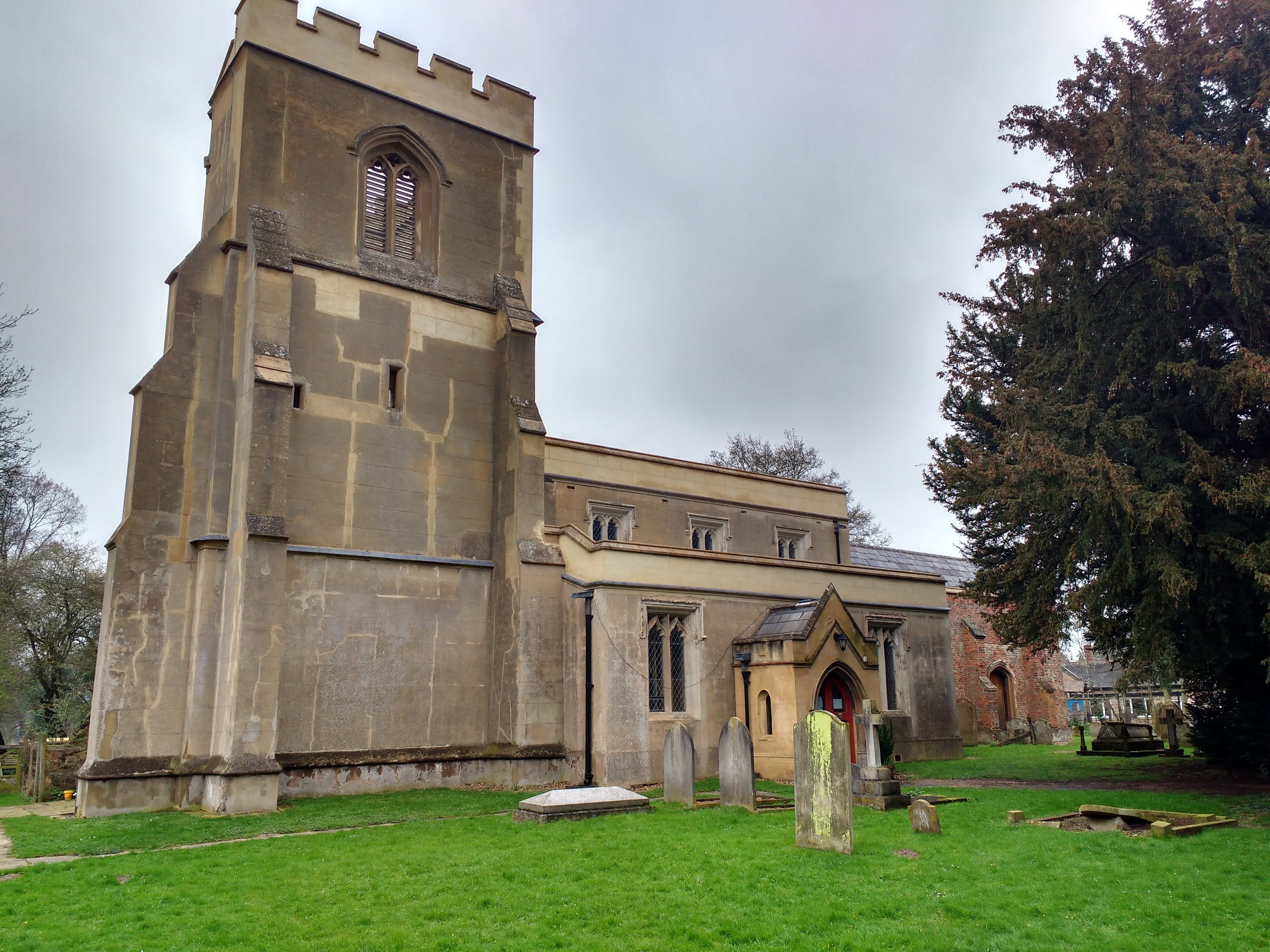
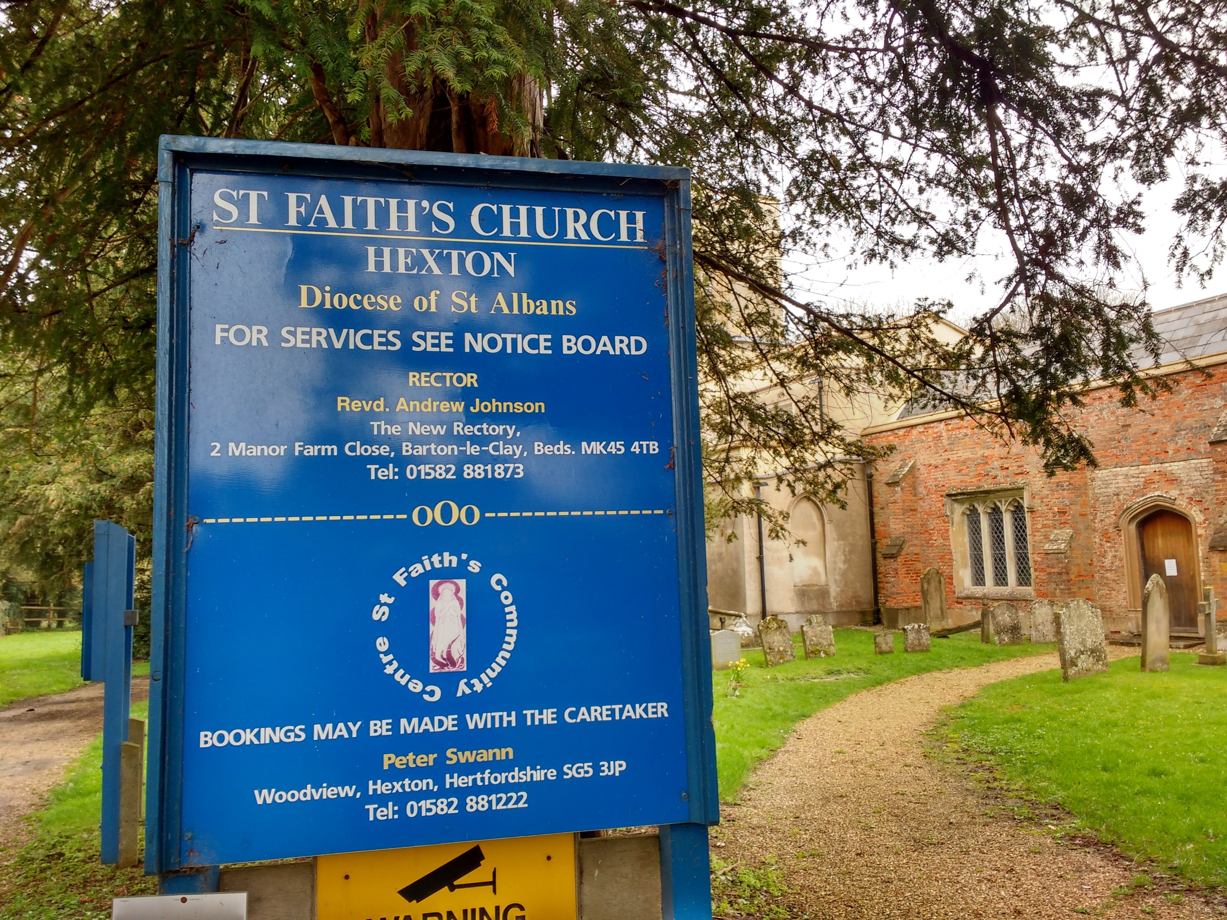
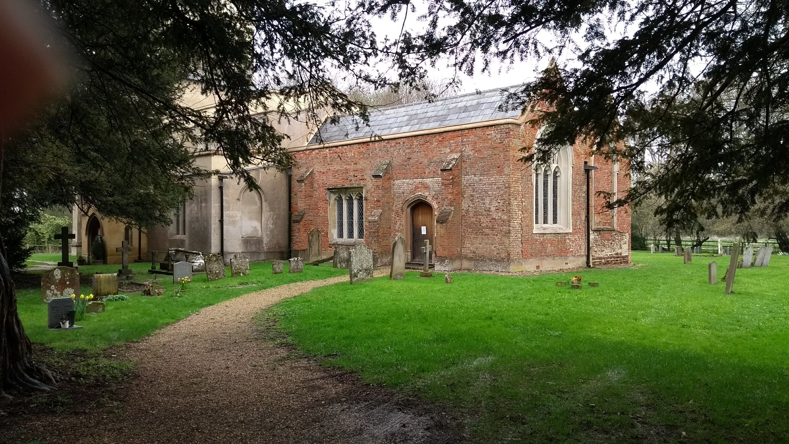
Where is St. Faith's Churchyard?
St. Faith's Churchyard is located at Hexton, North Hertfordshire District ,Hertfordshire ,England.
-
St. Faith's Churchyard cemetery's updated grave count on graveviews.com?
0 memorials
-
Where are the coordinates of the St. Faith's Churchyard?
Latitude: 51.9609275
Longitude: -0.3944721
Nearby Cemetories:
1. St Margaret Churchyard
Higham Gobion, Central Bedfordshire Unitary Authority, England
Coordinate: 51.9825550, -0.3942590
2. All Saints Churchyard
Shillington, Central Bedfordshire Unitary Authority, England
Coordinate: 51.9921700, -0.3648200
3. Saint Mary the Virgin Churchyard
Pirton, North Hertfordshire District, England
Coordinate: 51.9722000, -0.3316600
4. St Marys Churchyard
Gravenhurst, Central Bedfordshire Unitary Authority, England
Coordinate: 52.0045690, -0.3821720
5. St. James Churchyard
Pulloxhill, Central Bedfordshire Unitary Authority, England
Coordinate: 51.9924399, -0.4552110
6. St Mary Magdalene Churchyard
Offley, North Hertfordshire District, England
Coordinate: 51.9277300, -0.3357400
7. St James the Great Churchyard
Silsoe, Central Bedfordshire Unitary Authority, England
Coordinate: 52.0082000, -0.4246200
8. St Giles Churchyard
Gravenhurst, Central Bedfordshire Unitary Authority, England
Coordinate: 52.0112000, -0.3797000
9. Vale Cemetery and Crematorium
Luton, Luton Borough, England
Coordinate: 51.9070900, -0.3924930
10. St Mary the Virgin Churchyard
Meppershall, Central Bedfordshire Unitary Authority, England
Coordinate: 52.0102000, -0.3483000
11. St Mary the Virgin Church Cemetery
Harlington, Central Bedfordshire Unitary Authority, England
Coordinate: 51.9645140, -0.4887520
12. St. Mary the Virgin Churchyard
Sundon, Central Bedfordshire Unitary Authority, England
Coordinate: 51.9301970, -0.4769740
13. St Mary the Virgin Churchyard
Harlington, Central Bedfordshire Unitary Authority, England
Coordinate: 51.9637650, -0.4909810
14. All Saints Churchyard
Upper Stondon, Central Bedfordshire Unitary Authority, England
Coordinate: 52.0065450, -0.3258350
15. St John the Baptist Churchyard
Flitton, Central Bedfordshire Unitary Authority, England
Coordinate: 52.0110150, -0.4578050
16. Holy Trinity Churchyard
Biscot, Luton Borough, England
Coordinate: 51.9028700, -0.4375560
17. North Hertfordshire Memorial Park and Crematorium
Holwell, North Hertfordshire District, England
Coordinate: 51.9847244, -0.2967870
18. St. Mary Magdalene Church Cemetery
Westoning, Central Bedfordshire Unitary Authority, England
Coordinate: 51.9834500, -0.5014400
19. St. Mary Magdalene Churchyard
Westoning, Central Bedfordshire Unitary Authority, England
Coordinate: 51.9841592, -0.5041169
20. St Mary the Virgin Churchyard
Clophill, Central Bedfordshire Unitary Authority, England
Coordinate: 52.0318880, -0.4126840
21. All Saints Churchyard
Campton, Central Bedfordshire Unitary Authority, England
Coordinate: 52.0295430, -0.3544430
22. Beadlow Priory
Clophill, Central Bedfordshire Unitary Authority, England
Coordinate: 52.0339100, -0.3905900
23. Flitwick Burial Ground
Flitwick, Central Bedfordshire Unitary Authority, England
Coordinate: 51.9974993, -0.5008905
24. St Peter and St Paul Churchyard
Flitwick, Central Bedfordshire Unitary Authority, England
Coordinate: 51.9970866, -0.5015783