| Memorials | : | 0 |
| Location | : | Barbados |
| Coordinate | : | 13.0761570, -59.5994940 |
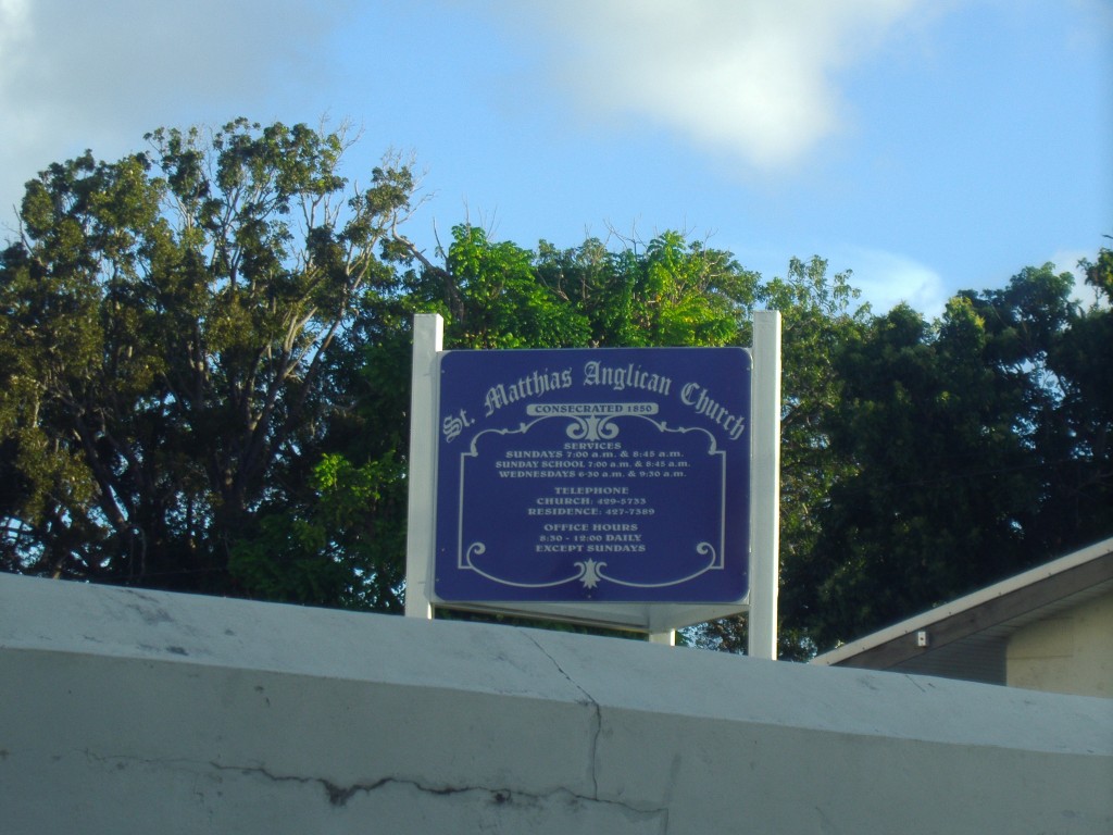
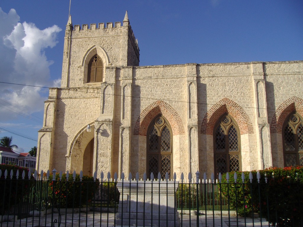
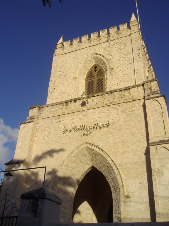
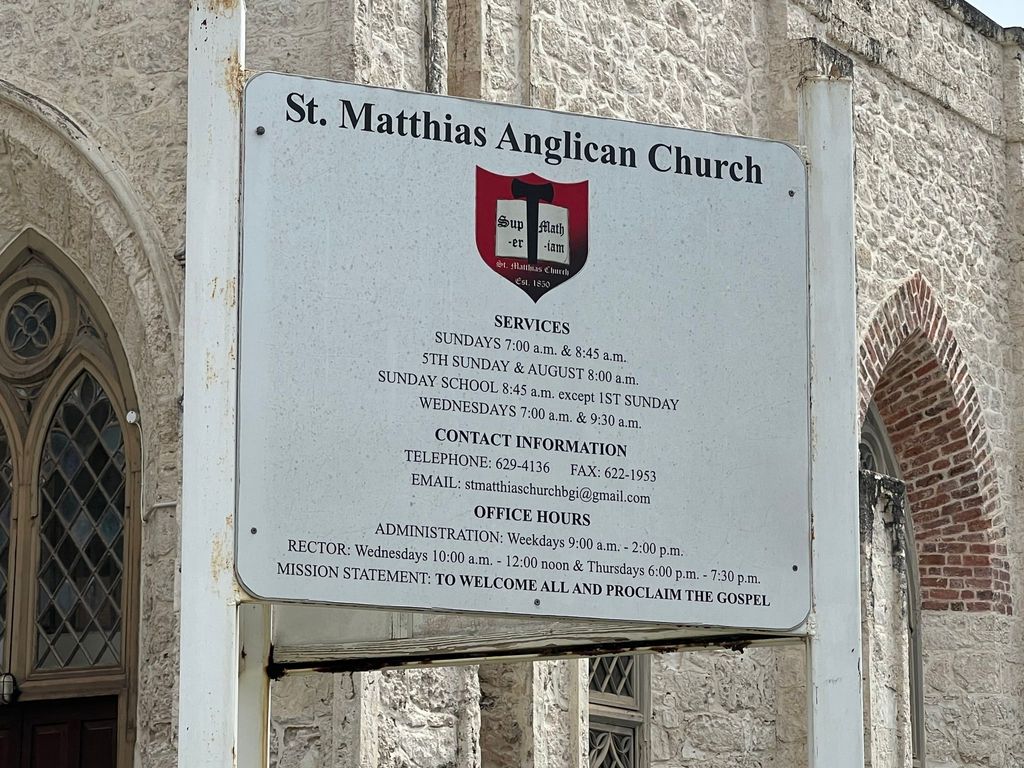
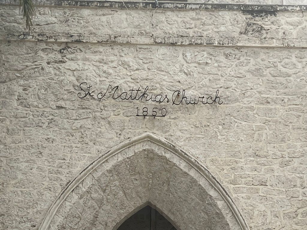
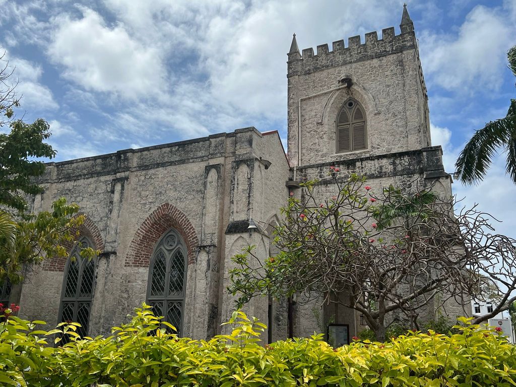
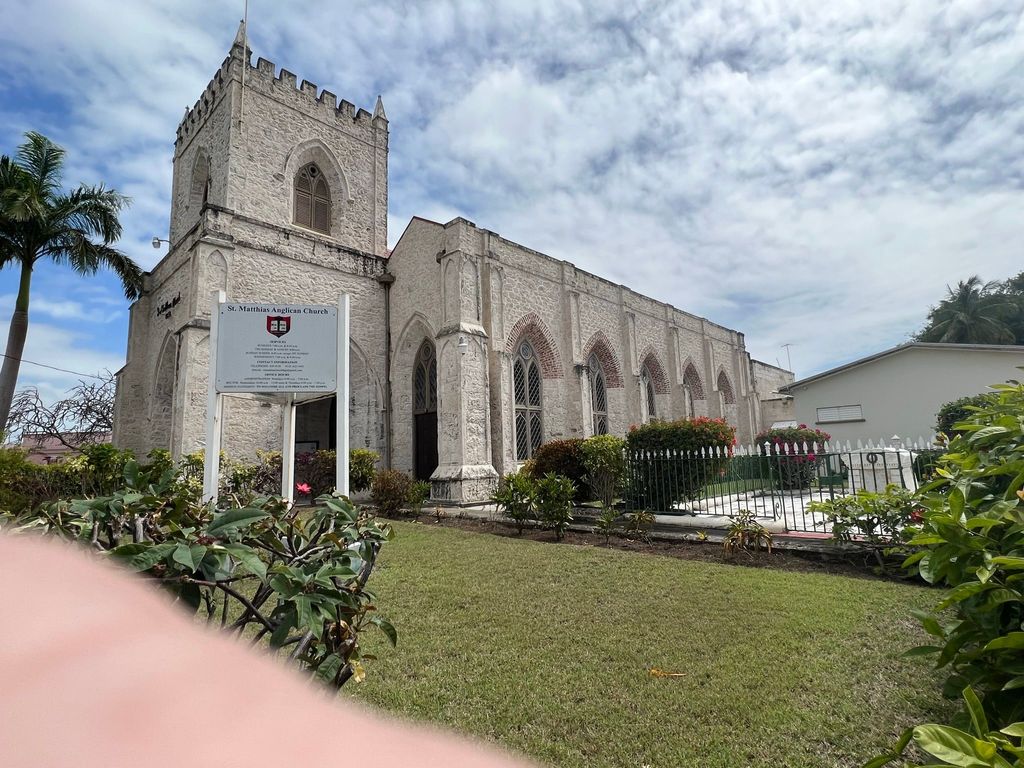
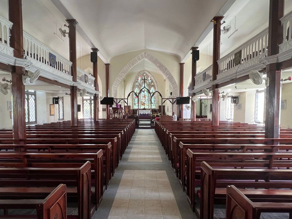
| Description | : | St. Matthias Anglican Church, located in Hastings, Christ Church Parish in Barbados, is constructed on three quarters of an acre of land, donated by John Mayers in 1837. Mr Mayers was a clerk of the House of Assembly in Barbados and also the chief builder of the church. The church was originally built as a chapel of ease, but its scale was quite grand when compared to some of the other chapels and even some of the parish churches in Barbados at the time. The total cost of the church's construction had amounted to four thousand, two hundred and... Read More |
frequently asked questions (FAQ):
-
Where is Saint Mathias Church Memorial Garden?
Saint Mathias Church Memorial Garden is located at St. Matthias Gap, off Hastings Main Road, Hastings Christ Church ,Barbados.
-
Saint Mathias Church Memorial Garden cemetery's updated grave count on graveviews.com?
0 memorials
-
Where are the coordinates of the Saint Mathias Church Memorial Garden?
Latitude: 13.0761570
Longitude: -59.5994940
Nearby Cemetories:
1. Garrison Military Cemetery
Barbados
Coordinate: 13.0791530, -59.6098530
2. Saint Matthews Anglican Church Cemetery
Barbados
Coordinate: 13.1045160, -59.5790290
3. Saint Leonards Anglican Church Cemetery
Barbados
Coordinate: 13.1059010, -59.6191760
4. Christ Church Parish Church
Barbados
Coordinate: 13.0651820, -59.5381840
5. Saint George Parish Church Cemetery
Barbados
Coordinate: 13.1311300, -59.5639400
6. Saint David's Churchyard
Barbados
Coordinate: 13.1311300, -59.5639400
7. Coral Ridge Memorial Gardens
Barbados
Coordinate: 13.0973640, -59.5254600
8. Holy Innocents Church Graveyard
Barbados
Coordinate: 13.1826710, -59.5811000
9. Saint Thomas Parish Church Cemetery
Barbados
Coordinate: 13.1858900, -59.6129200
10. Saint James Parish Church and Cemetery
Barbados
Coordinate: 13.1908600, -59.6381500
11. Saint Philip Parish Church Cemetery
Barbados
Coordinate: 13.1366770, -59.4887670
12. Saint Joseph Parish Church Cemetery
Barbados
Coordinate: 13.2010490, -59.5393320
13. Newcastle Plantation Estate
Barbados
Coordinate: 13.1938400, -59.5001400
14. Mangrove Plantation Estate Cemetery
Barbados
Coordinate: 13.2349700, -59.6172900
15. Saint Johns Parish Church Cemetery
Barbados
Coordinate: 13.1840296, -59.4721794
16. Saint Andrew Parish Church Cemetery
Barbados
Coordinate: 13.2526700, -59.5678600
17. All Saints Chapel Burial Ground
Barbados
Coordinate: 13.2696800, -59.6125200
18. Saint Philip-the-Less Churchyard
Barbados
Coordinate: 13.2842700, -59.5821100
19. Saint Lucy Parish Church Cemetery
Barbados
Coordinate: 13.2919100, -59.6235800
20. Choc Bay War Cemetery
Saint Lucia
Coordinate: 14.0225200, -60.9861370
21. Castries City Cemetery
Saint Lucia
Coordinate: 14.0224370, -60.9869960
22. San Chez Cemetery
Grenada
Coordinate: 12.5247260, -61.3865720
23. Tibeau Cemetery
Grenada
Coordinate: 12.4973638, -61.4237995
24. Grand Bay Cemetery
Grenada
Coordinate: 12.4714613, -61.4349142

