
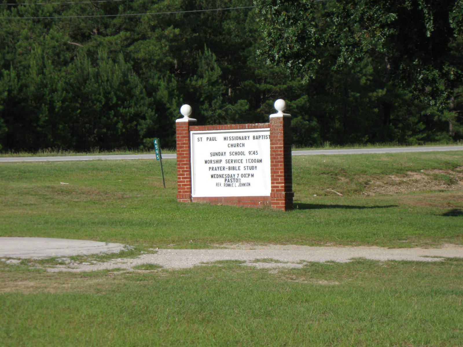
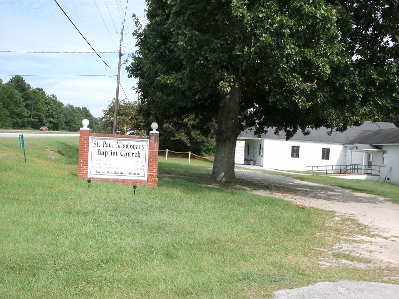
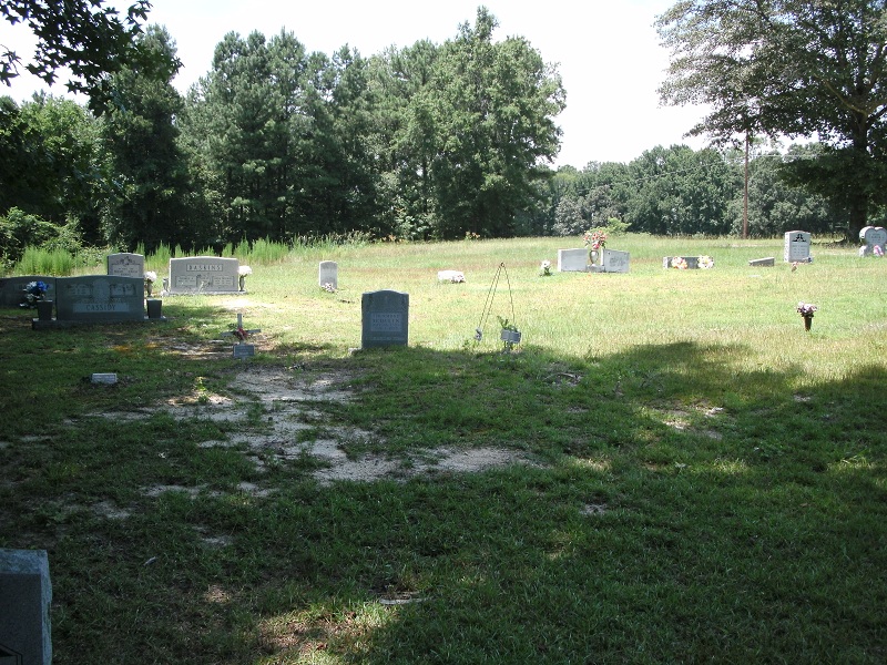
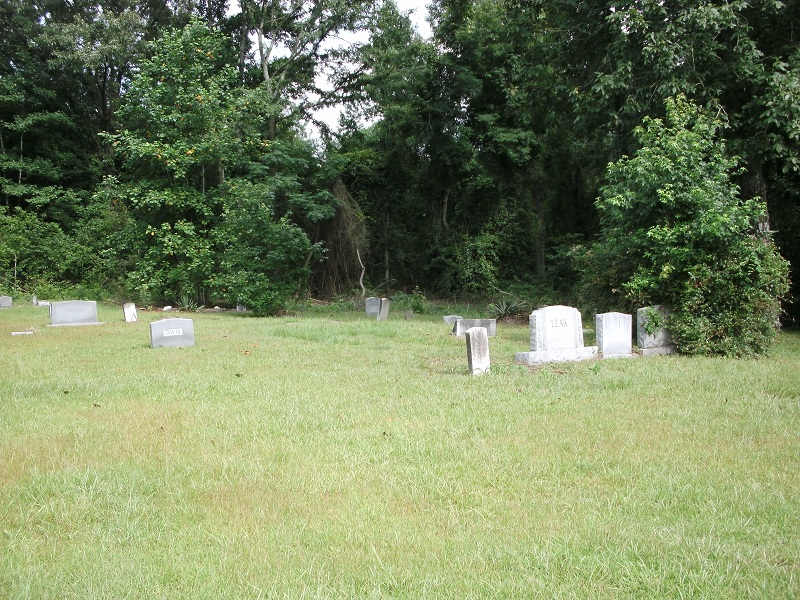
| Memorials | : | 121 |
| Location | : | Cheraw, Chesterfield County, USA |
| Coordinate | : | 34.7109260, -79.9745410 |
frequently asked questions (FAQ):
-
Where is Saint Paul Missionary Baptist Church?
Saint Paul Missionary Baptist Church is located at Cheraw, Chesterfield County ,South Carolina ,USA.
-
Saint Paul Missionary Baptist Church cemetery's updated grave count on graveviews.com?
121 memorials
-
Where are the coordinates of the Saint Paul Missionary Baptist Church?
Latitude: 34.7109260
Longitude: -79.9745410
Nearby Cemetories:
1. Saint Josephs Cemetery
Cheraw, Chesterfield County, USA
Coordinate: 34.7175410, -79.9702010
2. Smithville Cemetery
Chesterfield County, USA
Coordinate: 34.7047005, -79.9669037
3. Midway Baptist Church Cemetery
Cheraw, Chesterfield County, USA
Coordinate: 34.7170570, -79.9826580
4. Pleasant Grove United Methodist Church Cemetery
Cheraw, Chesterfield County, USA
Coordinate: 34.7048630, -79.9539520
5. Prince Of Peace Church Cemetery
Cheraw, Chesterfield County, USA
Coordinate: 34.7076230, -79.9484660
6. Progressive Church of Our Lord Jesus Christ Cemete
Cheraw, Chesterfield County, USA
Coordinate: 34.6910300, -79.9387430
7. Brock Cemetery
Brocks Mill, Chesterfield County, USA
Coordinate: 34.7503930, -79.9863370
8. Goodman Creek Missionary Baptist Church
Cheraw, Chesterfield County, USA
Coordinate: 34.7356390, -79.9347530
9. Robinson Zion Church
Cheraw, Chesterfield County, USA
Coordinate: 34.7328090, -79.9323420
10. First Southern Methodist Church Cemetery
Cheraw, Chesterfield County, USA
Coordinate: 34.6692090, -79.9958000
11. Faith Freewill Baptist Church Cemetery
Cheraw, Chesterfield County, USA
Coordinate: 34.6717450, -79.9451980
12. Southern Grace Church
Chesterfield, Chesterfield County, USA
Coordinate: 34.7234820, -80.0300720
13. J. C. Broome Memorial Garden
Cheraw, Chesterfield County, USA
Coordinate: 34.6753830, -79.9346970
14. Brocks Mill Baptist Church Cemetery Annex
Brocks Mill, Chesterfield County, USA
Coordinate: 34.7578990, -79.9919590
15. Brocks Mill Baptist Church Cemetery
Chesterfield, Chesterfield County, USA
Coordinate: 34.7582730, -79.9917660
16. Lower Macedonia Memorial Garden
Chesterfield, Chesterfield County, USA
Coordinate: 34.6688470, -80.0077090
17. Fisher Hill Community Cemetery
Cheraw, Chesterfield County, USA
Coordinate: 34.6738360, -79.9319040
18. Evans Family Cemetery
Chesterfield, Chesterfield County, USA
Coordinate: 34.7031340, -80.0369290
19. Mount Olivet United Methodist Church Cemetery
Hunts Mill, Chesterfield County, USA
Coordinate: 34.6623192, -79.9972763
20. Cranford Cemetery
Chesterfield, Chesterfield County, USA
Coordinate: 34.6837260, -80.0300450
21. Sellers Cemetery
Brocks Mill, Chesterfield County, USA
Coordinate: 34.7604070, -79.9992870
22. Brock Family Cemetery
Brocks Mill, Chesterfield County, USA
Coordinate: 34.7627750, -79.9916350
23. Drucilla AME Zion Church Cemetery
Chesterfield, Chesterfield County, USA
Coordinate: 34.6865100, -80.0374170
24. Confederate Soldier Burial Ground
Chesterfield, Chesterfield County, USA
Coordinate: 34.7300670, -80.0416230