
| Memorials | : | 0 |
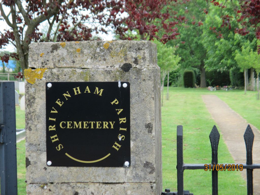
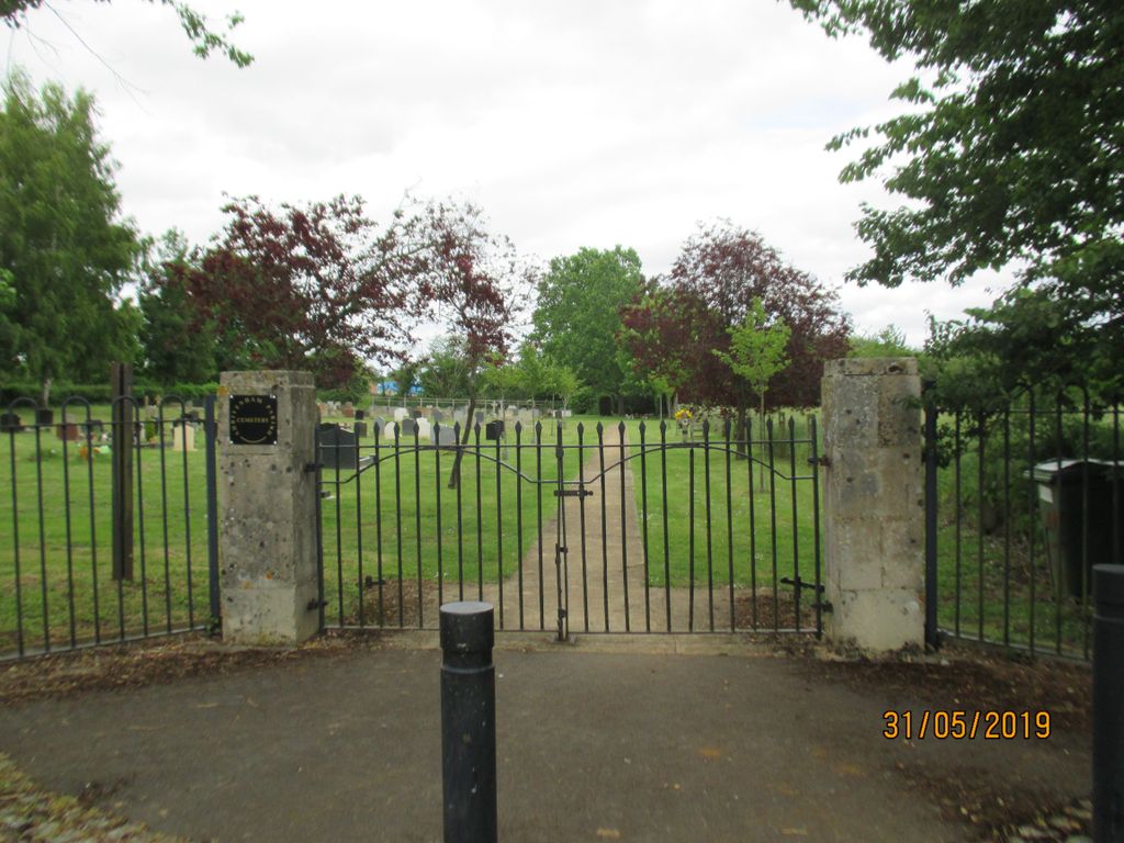
| Location | : | Shrivenham, Vale of White Horse District, England |
| Coordinate | : | 51.5942061, -1.6517227 |
| Description | : | Quiet Cemetery away from the village |
frequently asked questions (FAQ):
-
Where is Shrivenham Parish Cemetery?
Shrivenham Parish Cemetery is located at Stainswick Lane, Shrivenham Shrivenham, Vale of White Horse District ,Oxfordshire ,England.
-
Shrivenham Parish Cemetery cemetery's updated grave count on graveviews.com?
0 memorials
-
Where are the coordinates of the Shrivenham Parish Cemetery?
Latitude: 51.5942061
Longitude: -1.6517227
Nearby Cemetories:
1. St. Andrew's Churchyard
Shrivenham, Vale of White Horse District, England
Coordinate: 51.6000270, -1.6537370
2. St. James Churchyard
Bourton, Cherwell District, England
Coordinate: 51.5794090, -1.6638890
3. St. Thomas Churchyard
Watchfield, Vale of White Horse District, England
Coordinate: 51.6107409, -1.6468265
4. Watchfield Cemetery
Watchfield, Vale of White Horse District, England
Coordinate: 51.6109220, -1.6467980
5. Watchfield Military Cemetery
Watchfield, Vale of White Horse District, England
Coordinate: 51.6110800, -1.6469400
6. St. James' Churchyard
Sevenhampton, Swindon Unitary Authority, England
Coordinate: 51.6119590, -1.6984440
7. St Mary the Virgin Parish Churchyard
Longcot, Vale of White Horse District, England
Coordinate: 51.6146420, -1.6056320
8. St Swithun
Compton Beauchamp, Vale of White Horse District, England
Coordinate: 51.5814163, -1.5981875
9. St Mary the Virgin Church
Ashbury, Vale of White Horse District, England
Coordinate: 51.5626390, -1.6183810
10. Saint Mary Magdalene Church Cemetery
South Marston, Swindon Unitary Authority, England
Coordinate: 51.5903900, -1.7195100
11. St. Mary the Virgin Churchyard
Bishopstone, Swindon Unitary Authority, England
Coordinate: 51.5519060, -1.6499760
12. St Swithun Churchyard Hinton Prava
Swindon Unitary Authority, England
Coordinate: 51.5481447, -1.6669194
13. St Swithun Churchyard Hinton Prava
Swindon Unitary Authority, England
Coordinate: 51.5481447, -1.6669194
14. All Saints
Woolstone, Vale of White Horse District, England
Coordinate: 51.5870310, -1.5765330
15. All Saints Churchyard
Coleshill, Vale of White Horse District, England
Coordinate: 51.6422960, -1.6611320
16. St. Giles Churchyard
Great Coxwell, Vale of White Horse District, England
Coordinate: 51.6389520, -1.6114148
17. St Mary Churchyard
Uffington, Vale of White Horse District, England
Coordinate: 51.6018480, -1.5649000
18. Highworth Cemetery
Highworth, Swindon Unitary Authority, England
Coordinate: 51.6285450, -1.7212890
19. St John the Evangelist Churchyard
Fernham, Vale of White Horse District, England
Coordinate: 51.6251600, -1.5777100
20. St Margaret Churchyard
Stratton St Margaret, Swindon Unitary Authority, England
Coordinate: 51.5824430, -1.7422550
21. St. Mary's Churchyard
Little Coxwell, Vale of White Horse District, England
Coordinate: 51.6398280, -1.5941840
22. Saint Andrew's Church
Wanborough, Swindon Unitary Authority, England
Coordinate: 51.5415040, -1.7018220
23. Kingsdown Crematorium
Swindon, Swindon Unitary Authority, England
Coordinate: 51.5968450, -1.7513770
24. St Nicholas Churchyard
Baulking, Vale of White Horse District, England
Coordinate: 51.6142910, -1.5431850