
| Memorials | : | 0 |
| Location | : | Ski, Ski kommune, Norway |
| Coordinate | : | 59.7224090, 10.8614230 |
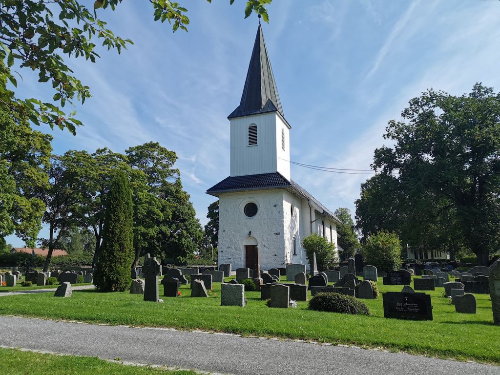
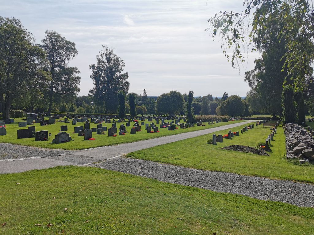
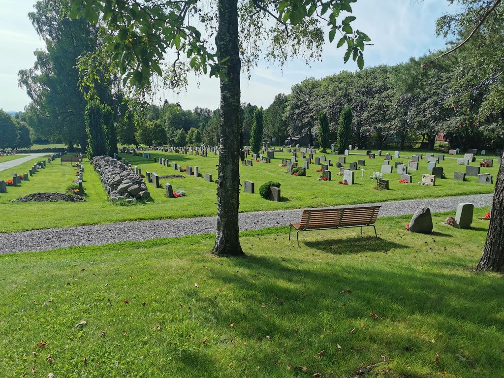
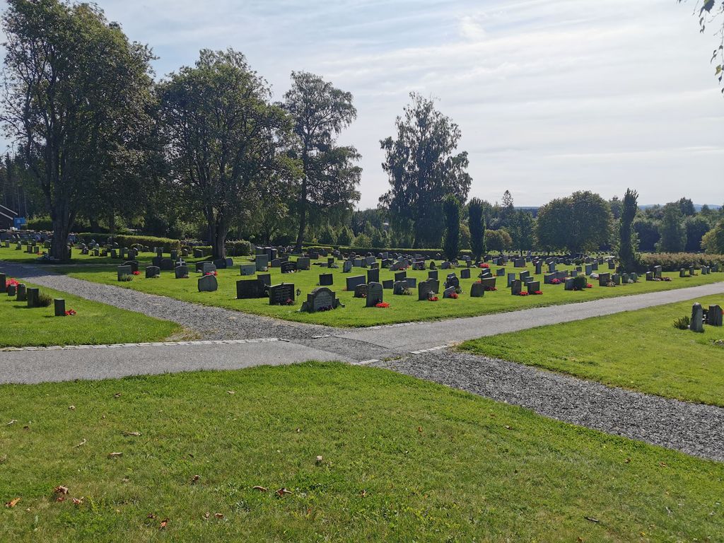
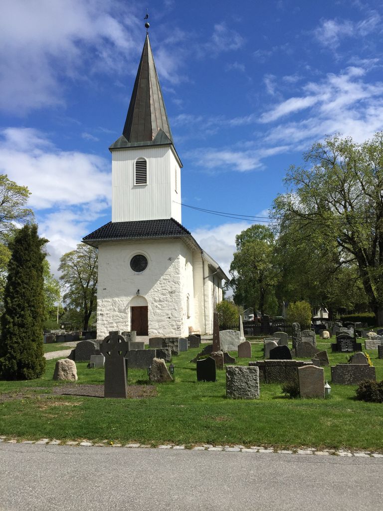
| Description | : | Ski Kirkegård is located on the grounds of the Ski Church, a rectangular stone building built in ca. 1150 and restored in both 1860 and 1934. |
frequently asked questions (FAQ):
-
Where is Ski Kirkegaard?
Ski Kirkegaard is located at Kirkeveien 57 Ski, Ski kommune ,Akershus fylke , 1400 SkiNorway.
-
Ski Kirkegaard cemetery's updated grave count on graveviews.com?
0 memorials
-
Where are the coordinates of the Ski Kirkegaard?
Latitude: 59.7224090
Longitude: 10.8614230
Nearby Cemetories:
1. Nordby Cemetery
Ås, Ås kommune, Norway
Coordinate: 59.7195600, 10.7724400
2. Kråkstad Cemetery
Kråkstad, Ski kommune, Norway
Coordinate: 59.6766650, 10.8805080
3. Ås Kirke
Ås, Ås kommune, Norway
Coordinate: 59.6717630, 10.7685840
4. Siggerud Gamle Mnye Nr
Ski, Ski kommune, Norway
Coordinate: 59.7903570, 10.8888240
5. Oppegaard Cemetery
Oppegård kommune, Norway
Coordinate: 59.7788200, 10.7509130
6. Kolbotn Cemetery
Kolbotn, Oppegård kommune, Norway
Coordinate: 59.8193160, 10.7900300
7. Klemetsrud kirkegård
Oslo, Oslo kommune, Norway
Coordinate: 59.8319960, 10.8513850
8. Nesodden Cemetery
Nesoddtangen, Nesodden kommune, Norway
Coordinate: 59.8052000, 10.6933700
9. Drøbak Cemetery
Drobak, Frogn kommune, Norway
Coordinate: 59.6652450, 10.6275180
10. Vestby Cemetery
Vestby, Vestby kommune, Norway
Coordinate: 59.6021470, 10.7314450
11. Nordstrand kirkegård
Oslo, Oslo kommune, Norway
Coordinate: 59.8591400, 10.8031780
12. Enebakk
Enebakk kommune, Norway
Coordinate: 59.7621100, 11.1464500
13. Bekkelaget urnelund
Oslo, Oslo kommune, Norway
Coordinate: 59.8849135, 10.7881908
14. Kodal Kirkegaard
Tonsberg, Tønsberg kommune, Norway
Coordinate: 59.5454570, 10.8260000
15. Mariekirkens ruin
Oslo, Oslo kommune, Norway
Coordinate: 59.9034515, 10.7621204
16. Gamlebyen Gravlund
Oslo, Oslo kommune, Norway
Coordinate: 59.9046240, 10.7709790
17. Hallvardskatedralens ruin
Oslo, Oslo kommune, Norway
Coordinate: 59.9058810, 10.7686740
18. Østre Gravlund
Oslo, Oslo kommune, Norway
Coordinate: 59.9130300, 10.8088490
19. Helsfyr gravlund
Oslo, Oslo kommune, Norway
Coordinate: 59.9132810, 10.8124210
20. Det kongelige mausoleum i Akershus Slott
Oslo, Oslo kommune, Norway
Coordinate: 59.9067600, 10.7361560
21. Østre Aker kirkegård
Okern, Oslo kommune, Norway
Coordinate: 59.9217730, 10.8197180
22. Slemmestad Kirkegaard
Slemmestad, Røyken kommune, Norway
Coordinate: 59.7680240, 10.4724700
23. Krist kirkegård
Oslo, Oslo kommune, Norway
Coordinate: 59.9172300, 10.7467380
24. Sofienberg jødiske gravlund
Oslo, Oslo kommune, Norway
Coordinate: 59.9229390, 10.7668660