
| Memorials | : | 0 |
| Location | : | Oslo, Oslo kommune, Norway |
| Coordinate | : | 59.8319960, 10.8513850 |
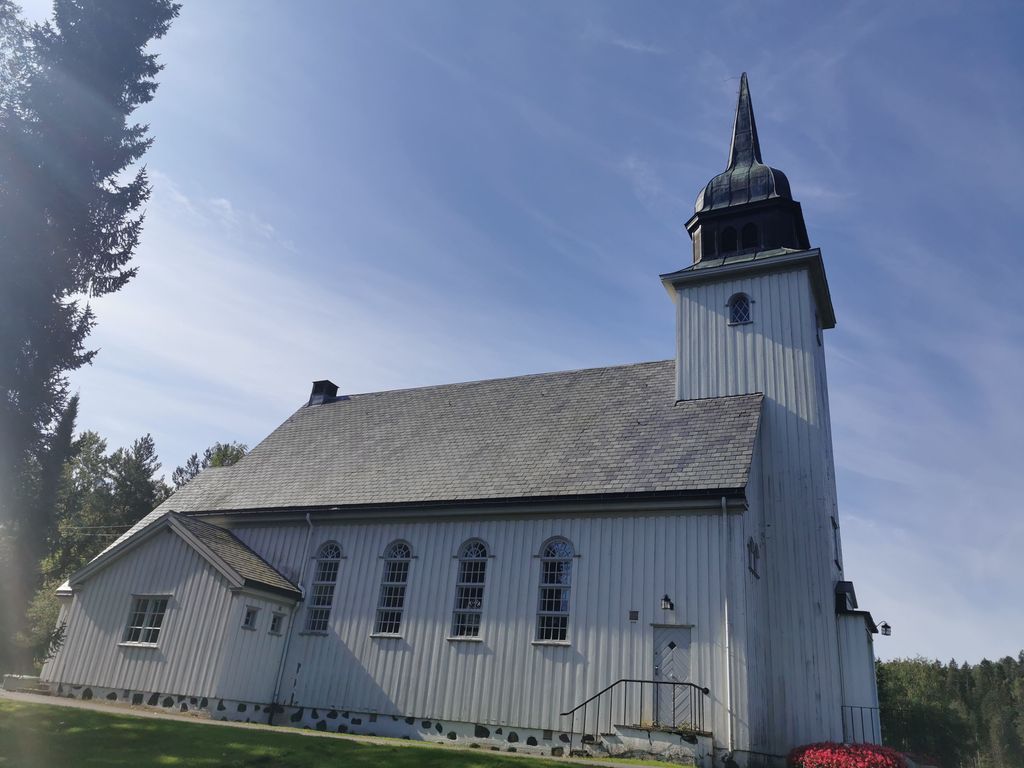
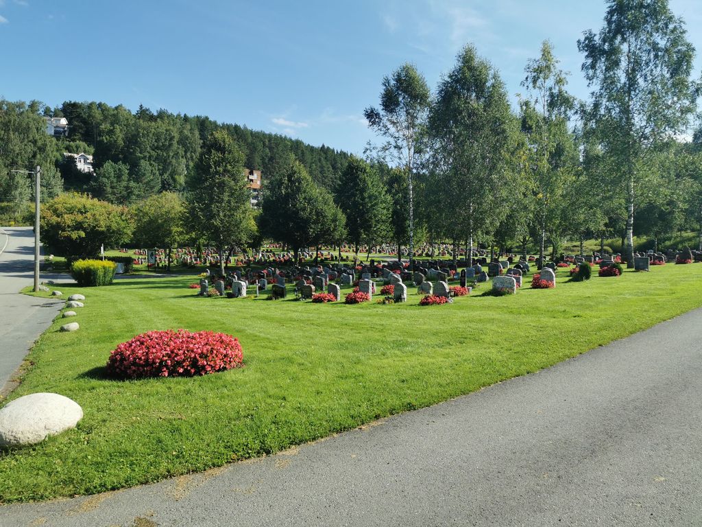
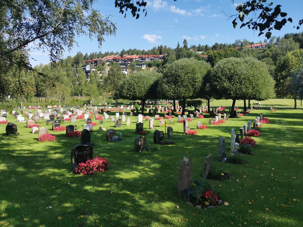
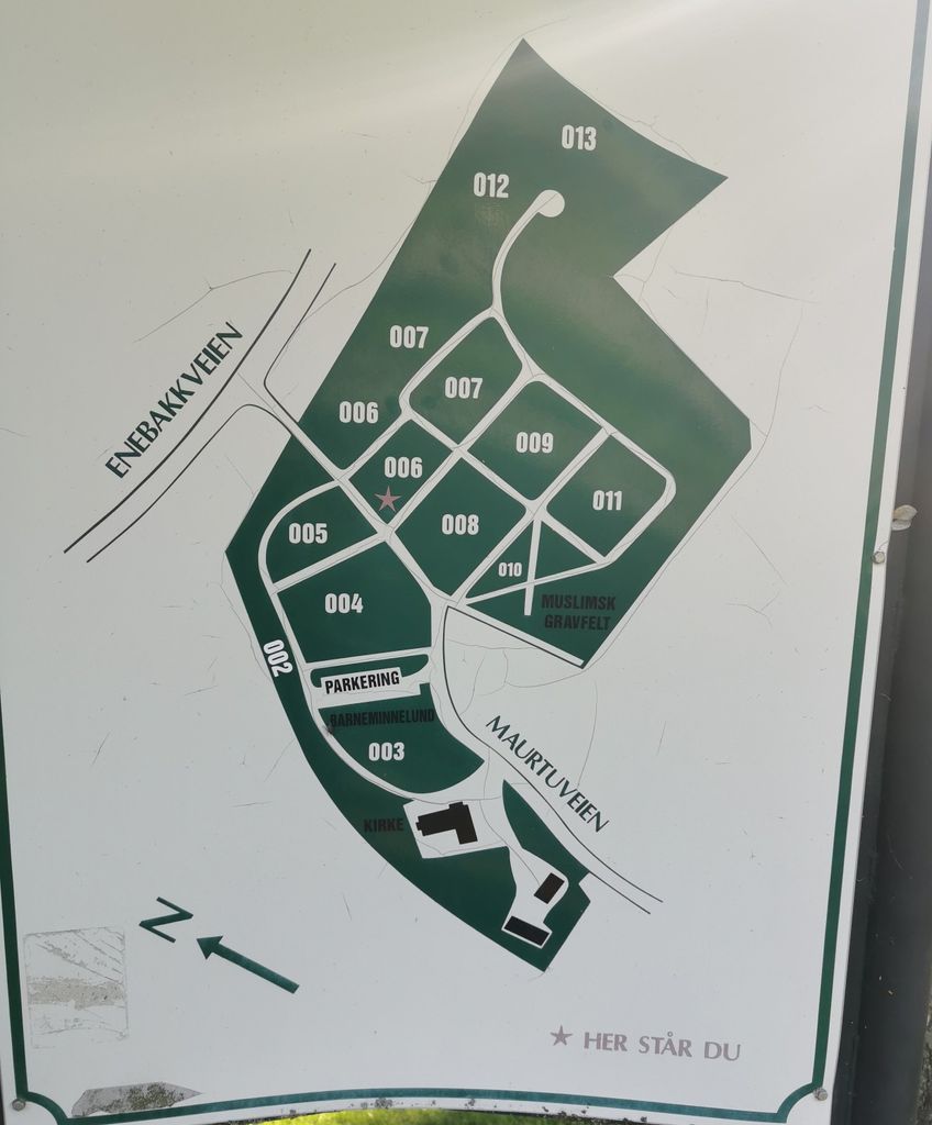
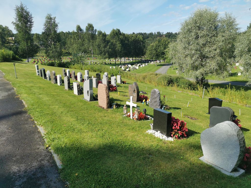
| Description | : | Klemetsrud cemetery is in the district of Søndre Nordstrand in Oslo. A smaller area was purchased for the construction of a cemetery in the early 1930s, when the church was built, but no cemetery was created at that time. In the 1970s, additional land was purchased, and the cemetery as it stands today was established. The cemetery now has an area of (65 dekar) 16,06 acres (US/UK) and was inaugurated in 1981. Klemetsrud Church was consecrated on September 3, 1933. A separate burial ground for Muslims was taken into use in 1998. ... Read More |
frequently asked questions (FAQ):
-
Where is Klemetsrud kirkegård?
Klemetsrud kirkegård is located at Maurtuveien 5 Oslo, Oslo kommune ,Oslo fylke , 1291Norway.
-
Klemetsrud kirkegård cemetery's updated grave count on graveviews.com?
0 memorials
-
Where are the coordinates of the Klemetsrud kirkegård?
Latitude: 59.8319960
Longitude: 10.8513850

Nearby Cemetories:
1. Kolbotn Cemetery
Kolbotn, Oppegård kommune, Norway
Coordinate: 59.8193160, 10.7900300
2. Nordstrand kirkegård
Oslo, Oslo kommune, Norway
Coordinate: 59.8591400, 10.8031780
3. Siggerud Gamle Mnye Nr
Ski, Ski kommune, Norway
Coordinate: 59.7903570, 10.8888240
4. Bekkelaget urnelund
Oslo, Oslo kommune, Norway
Coordinate: 59.8849135, 10.7881908
5. Oppegaard Cemetery
Oppegård kommune, Norway
Coordinate: 59.7788200, 10.7509130
6. Gamlebyen Gravlund
Oslo, Oslo kommune, Norway
Coordinate: 59.9046240, 10.7709790
7. Helsfyr gravlund
Oslo, Oslo kommune, Norway
Coordinate: 59.9132810, 10.8124210
8. Østre Gravlund
Oslo, Oslo kommune, Norway
Coordinate: 59.9130300, 10.8088490
9. Nesodden Cemetery
Nesoddtangen, Nesodden kommune, Norway
Coordinate: 59.8052000, 10.6933700
10. Mariekirkens ruin
Oslo, Oslo kommune, Norway
Coordinate: 59.9034515, 10.7621204
11. Hallvardskatedralens ruin
Oslo, Oslo kommune, Norway
Coordinate: 59.9058810, 10.7686740
12. Østre Aker kirkegård
Okern, Oslo kommune, Norway
Coordinate: 59.9217730, 10.8197180
13. Det kongelige mausoleum i Akershus Slott
Oslo, Oslo kommune, Norway
Coordinate: 59.9067600, 10.7361560
14. Alfaset – tysk krigskirkegård
Oslo, Oslo kommune, Norway
Coordinate: 59.9314700, 10.8559100
15. Krist kirkegård
Oslo, Oslo kommune, Norway
Coordinate: 59.9172300, 10.7467380
16. Sofienberg jødiske gravlund
Oslo, Oslo kommune, Norway
Coordinate: 59.9229390, 10.7668660
17. Alfaset gravlund
Oslo, Oslo kommune, Norway
Coordinate: 59.9337100, 10.8583210
18. Vår Frelsers gravlund
Oslo, Oslo kommune, Norway
Coordinate: 59.9199500, 10.7435400
19. Gamle Aker kirkegård
Oslo, Oslo kommune, Norway
Coordinate: 59.9237680, 10.7469560
20. Ski Kirkegaard
Ski, Ski kommune, Norway
Coordinate: 59.7224090, 10.8614230
21. Lørenskog Cemetery
Lørenskog kommune, Norway
Coordinate: 59.9249280, 10.9863810
22. Høybråten kirkegård
Oslo, Oslo kommune, Norway
Coordinate: 59.9435670, 10.9113910
23. Nordre gravlund
Oslo, Oslo kommune, Norway
Coordinate: 59.9371400, 10.7483990
24. Nordby Cemetery
Ås, Ås kommune, Norway
Coordinate: 59.7195600, 10.7724400