
| Memorials | : | 0 |
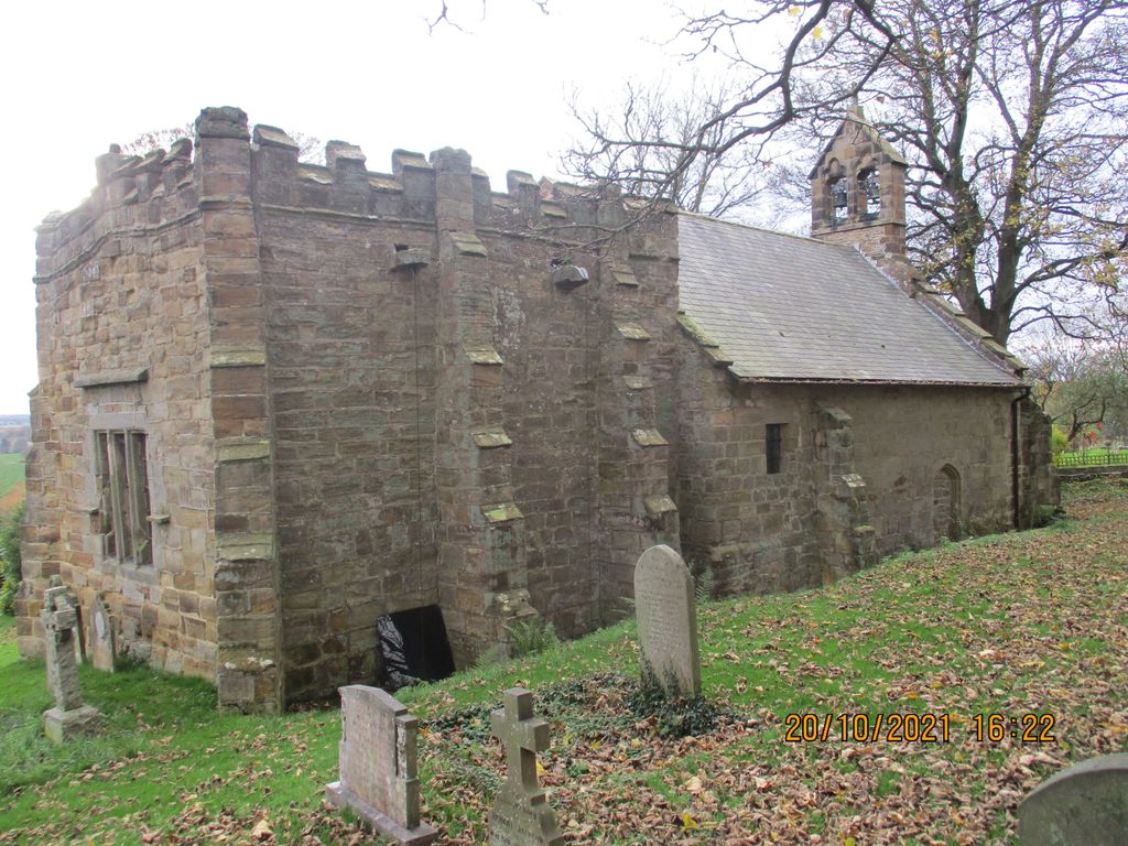
| Location | : | Dalby, Hambleton District, England |
| Coordinate | : | 54.1329290, -1.0262920 |
| Description | : | The parish registers for Dalby parish date from 1656 and have been deposited with the Borthwick Institute for Archives, University of York, Heslington, York, YO10 5DD. Bishop's Transcripts of the registers for a few earlier years are also at the Borthwick. |
frequently asked questions (FAQ):
-
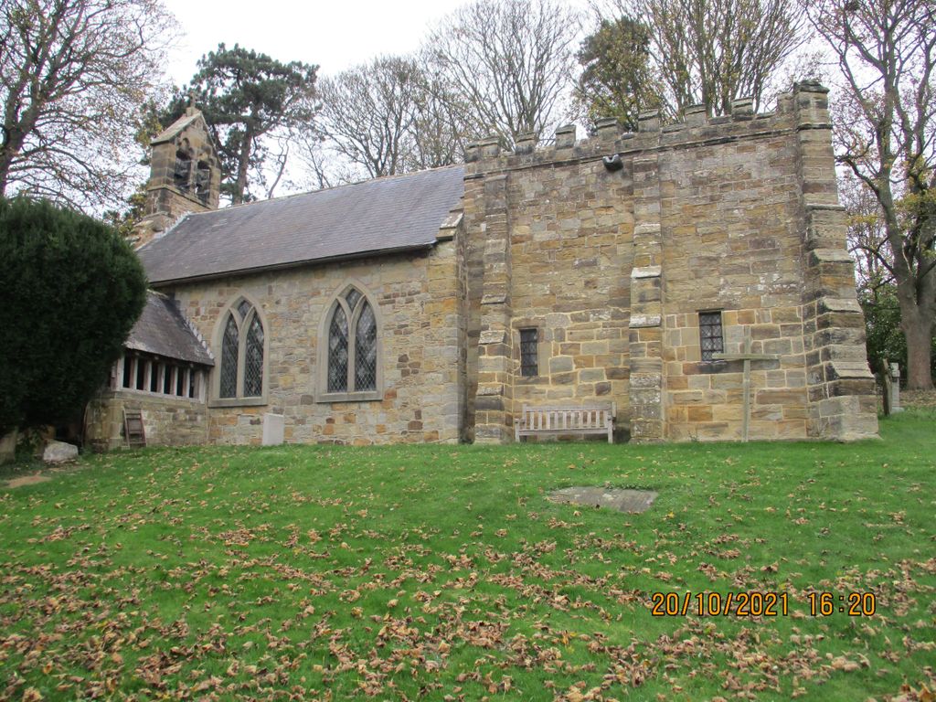
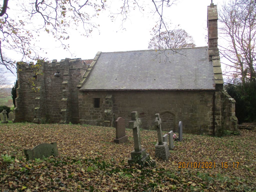
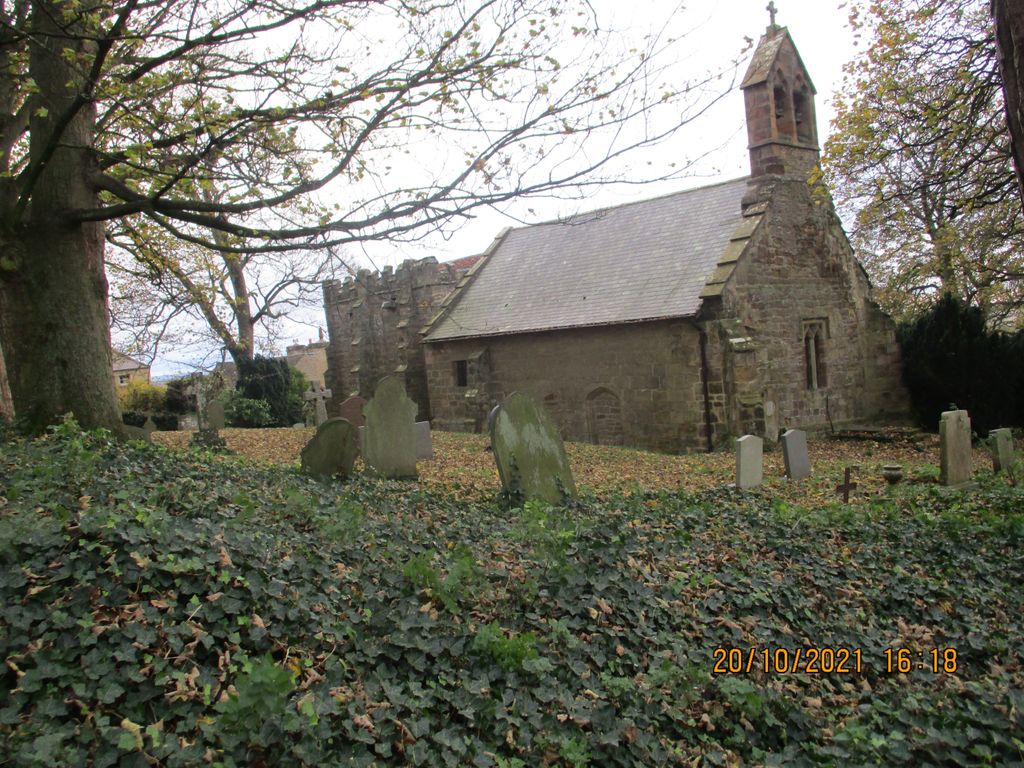
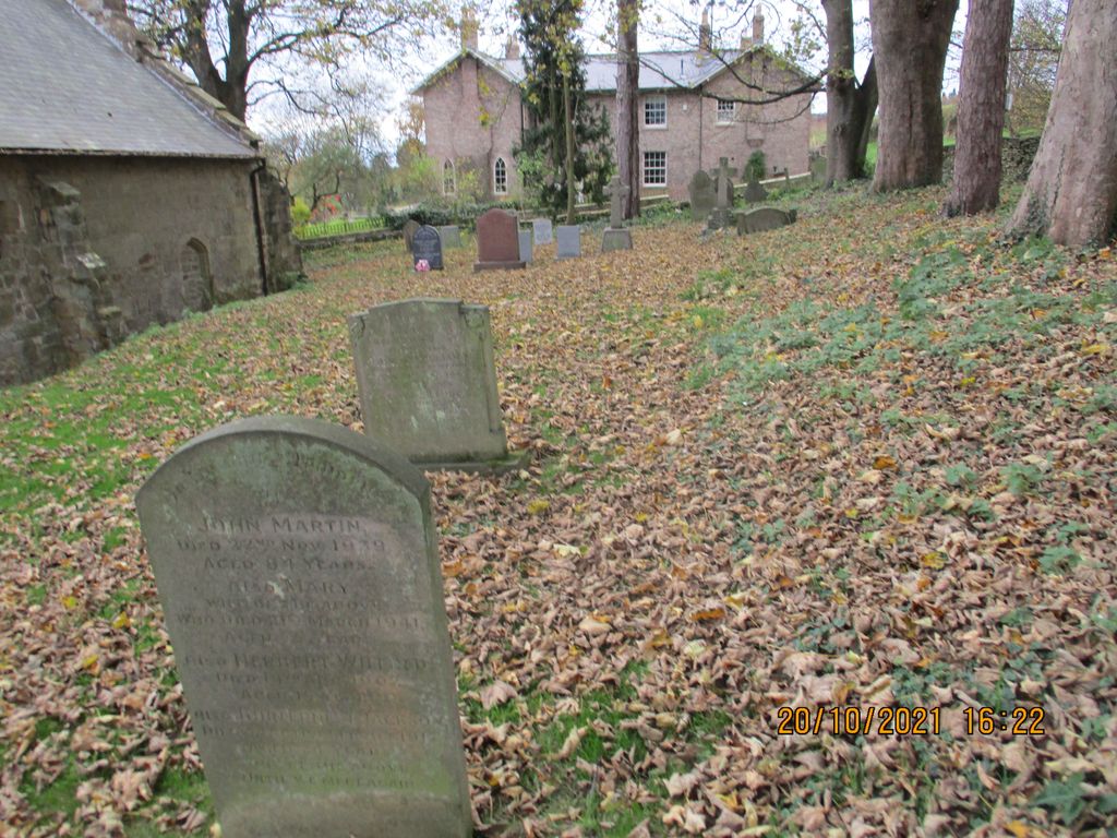
Where is St Peter Churchyard?
St Peter Churchyard is located at Low Back Lane Dalby, Hambleton District ,North Yorkshire , YO60 6PFEngland.
-
St Peter Churchyard cemetery's updated grave count on graveviews.com?
0 memorials
-
Where are the coordinates of the St Peter Churchyard?
Latitude: 54.1329290
Longitude: -1.0262920
Nearby Cemetories:
1. St Martin Churchyard
Whenby, Hambleton District, England
Coordinate: 54.1202600, -1.0363700
2. St George the Martyr Churchyard
Scackleton, Ryedale District, England
Coordinate: 54.1457520, -1.0066750
3. All Saints Churchyard
Terrington, Ryedale District, England
Coordinate: 54.1282770, -0.9735330
4. Terrington Burial Ground
Terrington, Ryedale District, England
Coordinate: 54.1231640, -0.9717280
5. All Saints Churchyard
Brandsby, Hambleton District, England
Coordinate: 54.1397200, -1.0853500
6. St Leonard Churchyard
Farlington, Hambleton District, England
Coordinate: 54.0999600, -1.0614900
7. St Mary Churchyard
Marton-on-the Forest, Hambleton District, England
Coordinate: 54.1064900, -1.0807800
8. St Helen and the Holy Cross Churchyard
Sheriff Hutton, Ryedale District, England
Coordinate: 54.0882280, -0.9965280
9. All Saints Churchyard
Hovingham, Ryedale District, England
Coordinate: 54.1728980, -0.9801260
10. Hovingham Cemetery
Hovingham, Ryedale District, England
Coordinate: 54.1753500, -0.9808900
11. Holy Cross Churchyard
Gilling East, Ryedale District, England
Coordinate: 54.1841290, -1.0580460
12. Holy Trinity Churchyard
Yearsley, Hambleton District, England
Coordinate: 54.1619100, -1.1052300
13. Gilling New Churchyard
Gilling East, Ryedale District, England
Coordinate: 54.1856070, -1.0559535
14. St. Nicholas Churchyard
Stillington, Hambleton District, England
Coordinate: 54.1029710, -1.1098920
15. Stonegrave Minster Churchyard
Stonegrave, Ryedale District, England
Coordinate: 54.1925011, -0.9966000
16. All Saints Churchyard
Slingsby, Ryedale District, England
Coordinate: 54.1655800, -0.9342900
17. St Martin Churchyard
Bulmer, Ryedale District, England
Coordinate: 54.0997510, -0.9317700
18. Slingsby Cemetery
Slingsby, Ryedale District, England
Coordinate: 54.1650600, -0.9256700
19. St Cuthbert Churchyard
Crayke, Hambleton District, England
Coordinate: 54.1285740, -1.1441370
20. St Oswald Churchyard
Oswaldkirk, Ryedale District, England
Coordinate: 54.2022340, -1.0495510
21. Coneysthorpe Cemetery
Coneysthorpe, Ryedale District, England
Coordinate: 54.1308750, -0.9042820
22. All Saints and St James Church
Nunnington, Ryedale District, England
Coordinate: 54.2031000, -0.9806000
23. All Hallows Churchyard
Sutton-on-the-Forest, Hambleton District, England
Coordinate: 54.0746800, -1.1103500
24. Ampleforth Abbey
Ampleforth, Ryedale District, England
Coordinate: 54.2019630, -1.0838000