
| Memorials | : | 35 |
| Location | : | Conway, Franklin County, USA |
| Coordinate | : | 42.5015940, -72.6973490 |
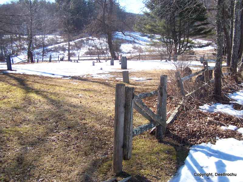
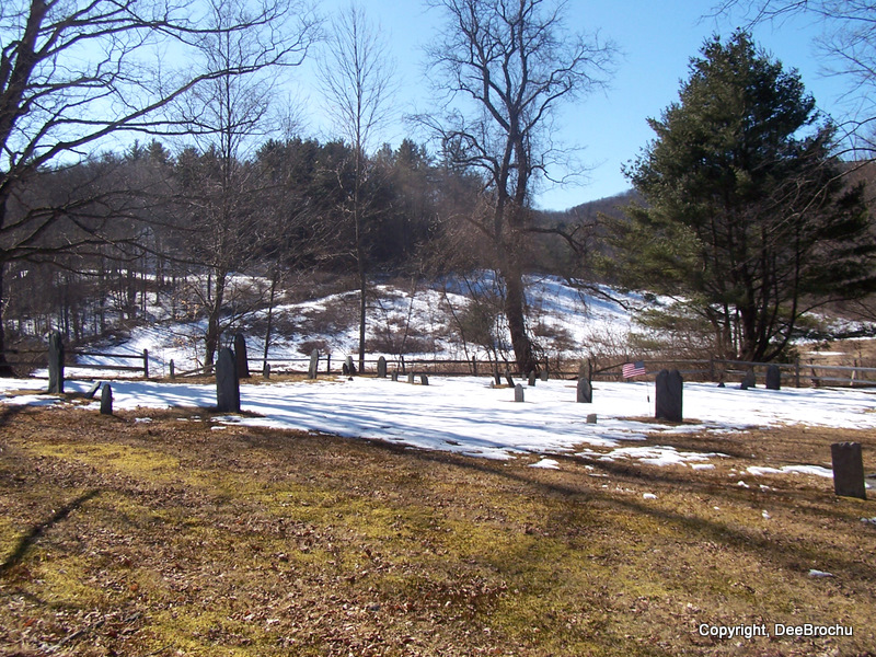
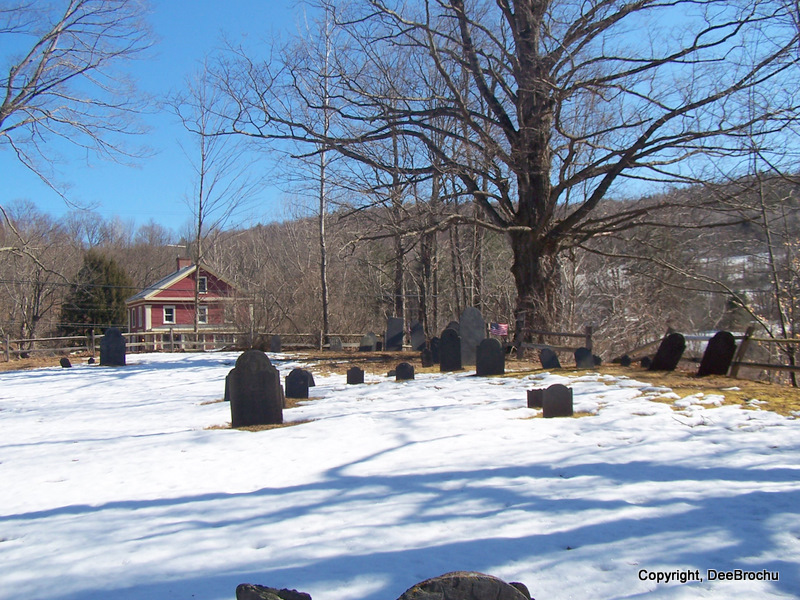
| Description | : | also known as PUMPKIN HOLLOW CEMETERY G.R.10 in Vital Records of Conway Mass. to the year 1850. Located a short distance south of the center of Conway on land purchased from Elias Dickinson c.1772 where the first meeting house was once located. It is at the intersection of Maple Street and Old Cricket Hill Road and Whately Roads, just south of the Congregational Church. All readable stones were transcribed in this cemetery by Mrs. Max Lederer Jr in 1951/1952. All memorials she found are posted here on FindAGrave. |
frequently asked questions (FAQ):
-
Where is South Centre Cemetery?
South Centre Cemetery is located at Maple Street Conway, Franklin County ,Massachusetts , 01341USA.
-
South Centre Cemetery cemetery's updated grave count on graveviews.com?
35 memorials
-
Where are the coordinates of the South Centre Cemetery?
Latitude: 42.5015940
Longitude: -72.6973490
Nearby Cemetories:
1. Howland Cemetery
Conway, Franklin County, USA
Coordinate: 42.5127983, -72.6967010
2. Pine Grove Cemetery
Conway, Franklin County, USA
Coordinate: 42.5222015, -72.6908035
3. Cricket Hill Cemetery
Conway, Franklin County, USA
Coordinate: 42.4783300, -72.7009500
4. Maynard Cemetery
Conway, Franklin County, USA
Coordinate: 42.4836630, -72.7195800
5. Boyden Cemetery
Conway, Franklin County, USA
Coordinate: 42.4832993, -72.6667023
6. South Part Cemetery
Conway, Franklin County, USA
Coordinate: 42.4625015, -72.6707993
7. Mill River Cemetery
Deerfield, Franklin County, USA
Coordinate: 42.5011890, -72.6377770
8. Southwest Cemetery
Conway, Franklin County, USA
Coordinate: 42.4660280, -72.7458610
9. South Ashfield Cemetery
Ashfield, Franklin County, USA
Coordinate: 42.5077209, -72.7730026
10. Cosby Family Cemetery
Shelburne, Franklin County, USA
Coordinate: 42.5566400, -72.6702100
11. Beldingville Cemetery
Ashfield, Franklin County, USA
Coordinate: 42.5365562, -72.7638016
12. Hawks Cemetery
Deerfield, Franklin County, USA
Coordinate: 42.5555992, -72.6583023
13. Savage Farm Cemetery
Deerfield, Franklin County, USA
Coordinate: 42.5336700, -72.6245300
14. Briar Hill Cemetery
Ashfield, Franklin County, USA
Coordinate: 42.4742600, -72.7798300
15. North Shirkshire Cemetery
Conway, Franklin County, USA
Coordinate: 42.5689011, -72.7210999
16. West Whately Cemetery
Whately, Franklin County, USA
Coordinate: 42.4335251, -72.6772766
17. Brookside Cemetery
Deerfield, Franklin County, USA
Coordinate: 42.4707985, -72.6106033
18. Sugarloaf Street Cemetery
South Deerfield, Franklin County, USA
Coordinate: 42.4762800, -72.6071500
19. Bloody Brook Mass Grave
Deerfield, Franklin County, USA
Coordinate: 42.4819700, -72.6038600
20. Baptist Corner Cemetery
Ashfield, Franklin County, USA
Coordinate: 42.5540771, -72.7639313
21. Saint John's Church
Ashfield, Franklin County, USA
Coordinate: 42.5258600, -72.7894260
22. Saint Stanislaus Cemetery
Deerfield, Franklin County, USA
Coordinate: 42.4707985, -72.6082993
23. Plain Cemetery
Ashfield, Franklin County, USA
Coordinate: 42.5292015, -72.7889023
24. Holy Name of Jesus Cemetery
Deerfield, Franklin County, USA
Coordinate: 42.4706800, -72.6071300