
| Memorials | : | 0 |
| Location | : | Ashfield, Franklin County, USA |
| Coordinate | : | 42.5258600, -72.7894260 |
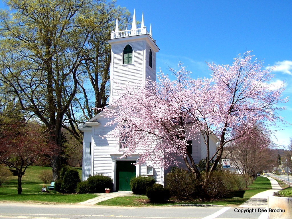
| Description | : | ST. JOHN'S EPISCOPAL CHURCH There are two gravestones at St. John's Episcopal Church. In the floor of the narthex there is a stone for James Blaisdale and for Ralph Brown Blaisdale, two young sons of Silas Blaisdale, one of the first ministers of this church. On the right hand wall of the chancel is a stone for Rev. Thomas Brinton Flower and two of his children, Mary W. Flower and James Frisbie Flower. The Episcopal Church records say they were "buried beneath the chancel." research courtesy of Ashfield Historical Society |
frequently asked questions (FAQ):
-
Where is Saint John's Church?
Saint John's Church is located at Corner of South Street & Route 116 Ashfield, Franklin County ,Massachusetts , 01330USA.
-
Saint John's Church cemetery's updated grave count on graveviews.com?
0 memorials
-
Where are the coordinates of the Saint John's Church?
Latitude: 42.5258600
Longitude: -72.7894260
Nearby Cemetories:
1. Plain Cemetery
Ashfield, Franklin County, USA
Coordinate: 42.5292015, -72.7889023
2. Hill Cemetery
Ashfield, Franklin County, USA
Coordinate: 42.5208015, -72.7992020
3. Beldingville Cemetery
Ashfield, Franklin County, USA
Coordinate: 42.5365562, -72.7638016
4. South Ashfield Cemetery
Ashfield, Franklin County, USA
Coordinate: 42.5077209, -72.7730026
5. Baptist Corner Cemetery
Ashfield, Franklin County, USA
Coordinate: 42.5540771, -72.7639313
6. Northwest Cemetery
Ashfield, Franklin County, USA
Coordinate: 42.5587500, -72.8250500
7. Spruce Corner Cemetery
Ashfield, Franklin County, USA
Coordinate: 42.5026817, -72.8481293
8. Briar Hill Cemetery
Ashfield, Franklin County, USA
Coordinate: 42.4742600, -72.7798300
9. Old Cemetery #01
Buckland, Franklin County, USA
Coordinate: 42.5918580, -72.7906890
10. North Shirkshire Cemetery
Conway, Franklin County, USA
Coordinate: 42.5689011, -72.7210999
11. East Street Cemetery
Plainfield, Hampshire County, USA
Coordinate: 42.5136600, -72.8780700
12. Maynard Cemetery
Conway, Franklin County, USA
Coordinate: 42.4836630, -72.7195800
13. Upper City Cemetery
Buckland, Franklin County, USA
Coordinate: 42.5832640, -72.8355360
14. Center Cemetery #03
Buckland, Franklin County, USA
Coordinate: 42.5926950, -72.7898960
15. Trow Cemetery #04
Buckland, Franklin County, USA
Coordinate: 42.5932800, -72.7915000
16. Taylor Cemetery #02
Buckland, Franklin County, USA
Coordinate: 42.5932808, -72.7915039
17. Southwest Cemetery
Conway, Franklin County, USA
Coordinate: 42.4660280, -72.7458610
18. Howland Cemetery
Conway, Franklin County, USA
Coordinate: 42.5127983, -72.6967010
19. South Centre Cemetery
Conway, Franklin County, USA
Coordinate: 42.5015940, -72.6973490
20. Pine Grove Cemetery
Conway, Franklin County, USA
Coordinate: 42.5222015, -72.6908035
21. Old East Buckland Cemetery
Buckland, Franklin County, USA
Coordinate: 42.5969400, -72.7677900
22. East Buckland Cemetery
Buckland, Franklin County, USA
Coordinate: 42.5962500, -72.7610600
23. East Hawley Cemetery
Hawley, Franklin County, USA
Coordinate: 42.5621071, -72.8768005
24. Goshen Center Cemetery
Goshen, Hampshire County, USA
Coordinate: 42.4483280, -72.8049800