
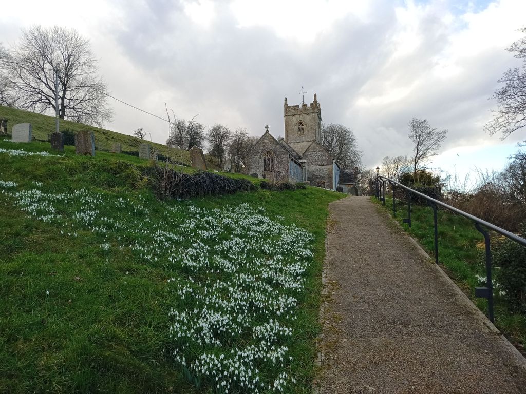
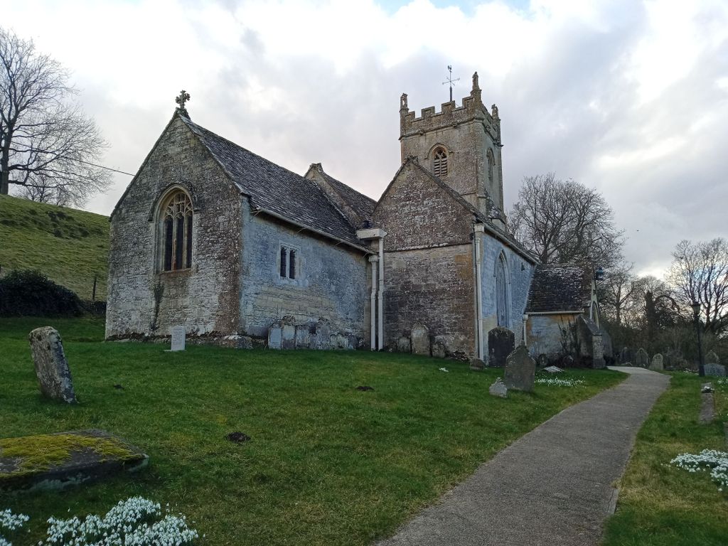
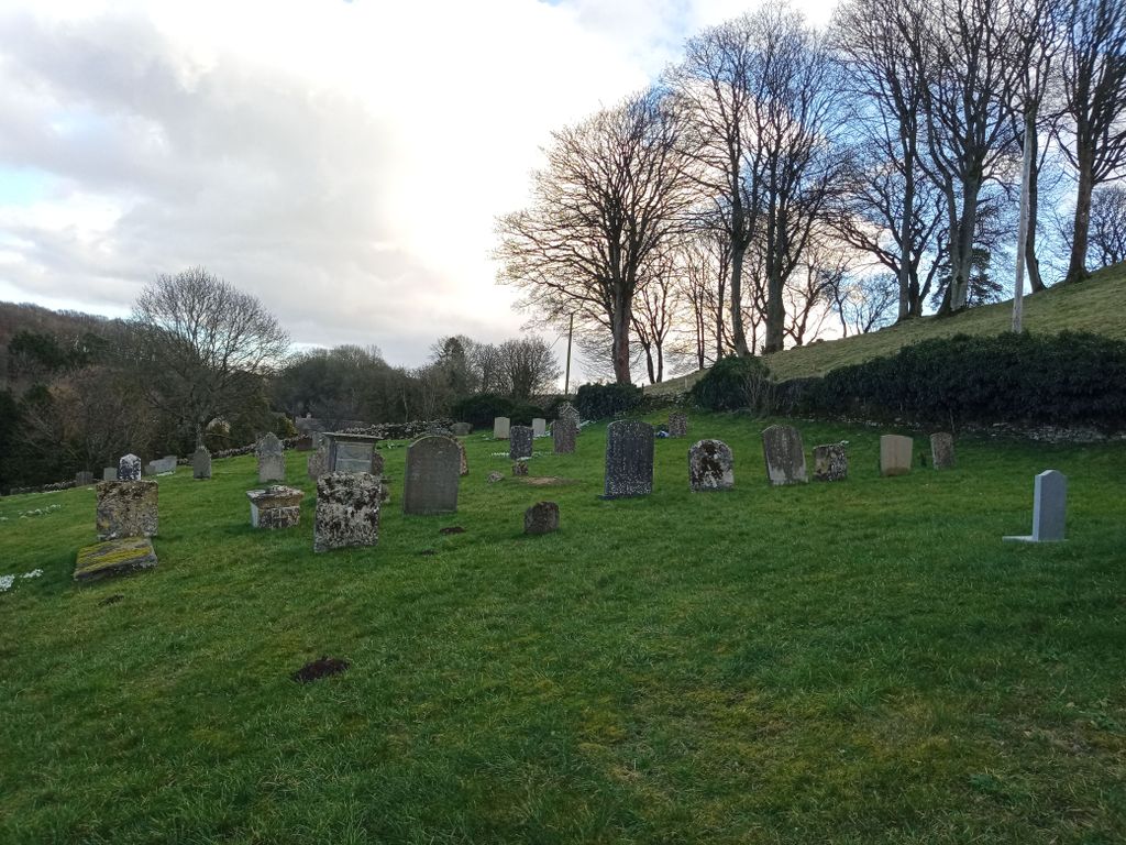
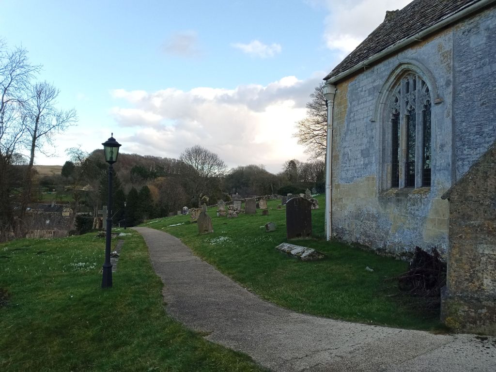
| Memorials | : | 0 |
| Location | : | Compton Abdale, Cotswold District, England |
| Website | : | britishlistedbuildings.co.uk/101304301-church-of-st-oswald-compton-abdale#.YCZnVS3fXmq |
| Coordinate | : | 51.8481353, -1.9148839 |
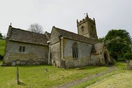
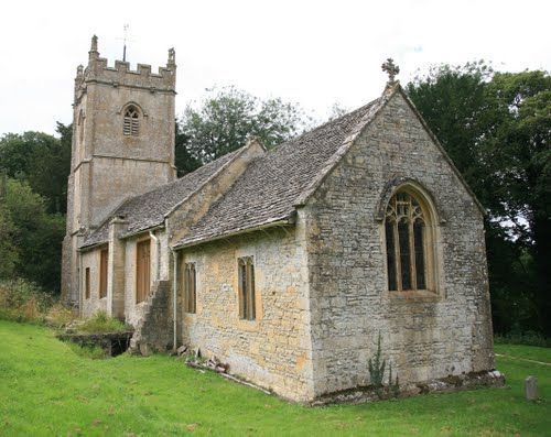
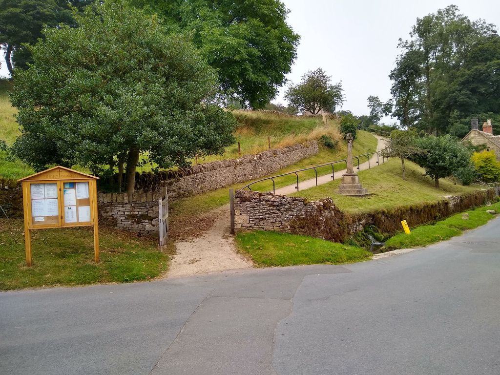
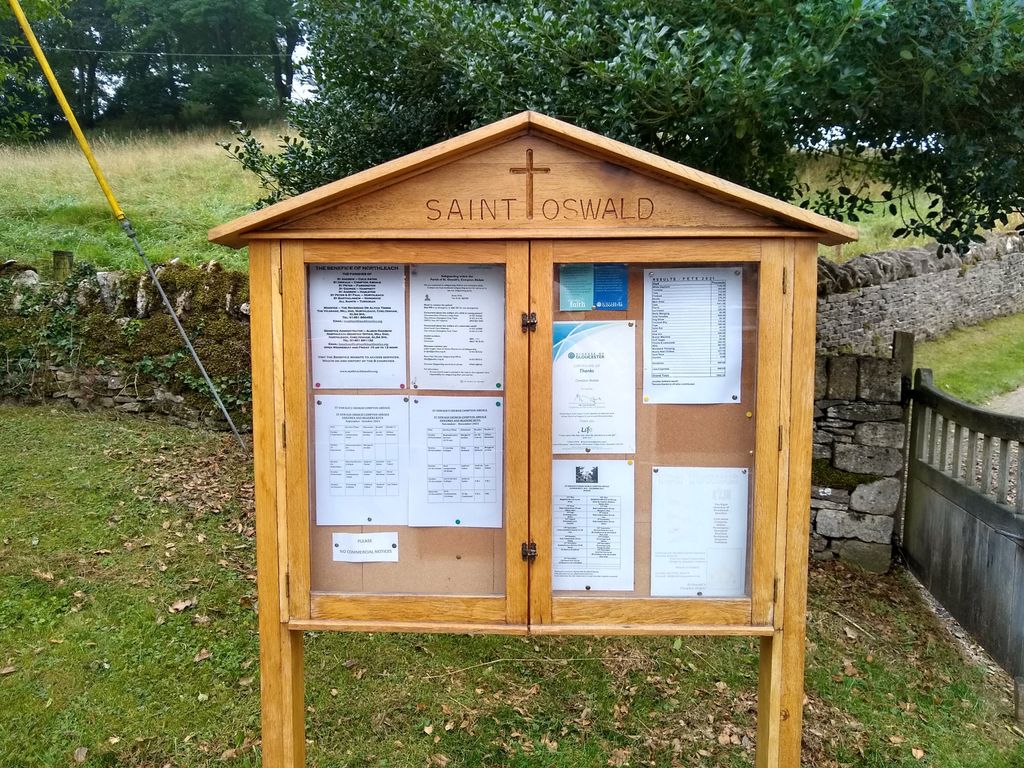
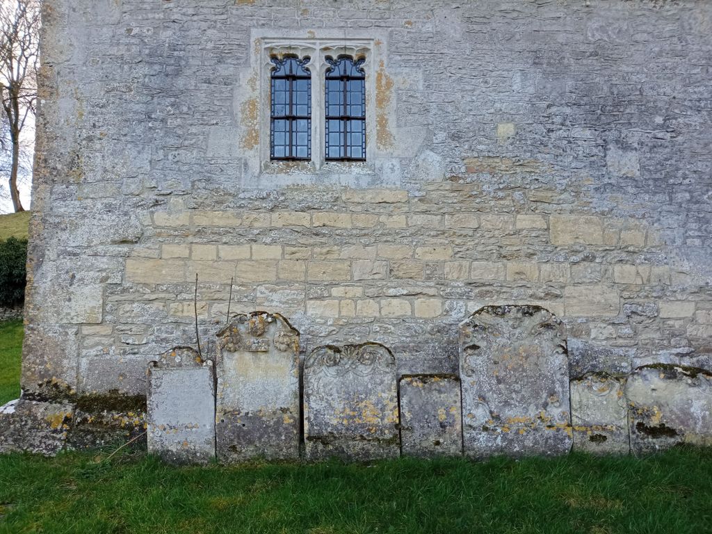
| Description | : | A Grade II* Listed Building in Compton Abdale, Gloucestershire |
frequently asked questions (FAQ):
-
Where is Church of St. Oswald?
Church of St. Oswald is located at Compton Abdale, Cotswold District ,Gloucestershire , GL54England.
-
Church of St. Oswald cemetery's updated grave count on graveviews.com?
0 memorials
-
Where are the coordinates of the Church of St. Oswald?
Latitude: 51.8481353
Longitude: -1.9148839
Nearby Cemetories:
1. All Saints Churchyard Cold Salperton
Cotswold District, England
Coordinate: 51.8771977, -1.8895386
2. St Andrews
Chedworth, Cotswold District, England
Coordinate: 51.8078450, -1.9259590
3. All Saints Churchyard
Turkdean, Cotswold District, England
Coordinate: 51.8554710, -1.8456120
4. SS Peter & Paul
Northleach, Cotswold District, England
Coordinate: 51.8295720, -1.8390300
5. St. Andrew's Churchyard
Sevenhampton, Tewkesbury Borough, England
Coordinate: 51.8941180, -1.9539430
6. St Bartholomew Churchyard
Notgrove, Cotswold District, England
Coordinate: 51.8778620, -1.8426720
7. St. Michael's Churchyard
Dowdeswell, Cotswold District, England
Coordinate: 51.8778615, -1.9996354
8. St Andrew's Churchyard
Naunton, Cotswold District, England
Coordinate: 51.9091340, -1.8384210
9. Naunton Baptist Chapel
Naunton, Cotswold District, England
Coordinate: 51.9092073, -1.8356252
10. St. Mary's Churchyard
Cowley, Cotswold District, England
Coordinate: 51.8304330, -2.0520550
11. All Saints Churchyard
North Cerney, Cotswold District, England
Coordinate: 51.7687300, -1.9746800
12. Charlton Kings Cemetery
Charlton Kings, Cheltenham Borough, England
Coordinate: 51.8798820, -2.0498090
13. St. Mary's Churchyard
Charlton Kings, Cheltenham Borough, England
Coordinate: 51.8825010, -2.0528610
14. Cheltenham Cemetery and Crematorium
Cheltenham, Cheltenham Borough, England
Coordinate: 51.9054527, -2.0454979
15. St Mary Magdalene Churchyard
Sherborne, Cotswold District, England
Coordinate: 51.8308380, -1.7562570
16. Sherborne Churchyard extension
Sherborne, Cotswold District, England
Coordinate: 51.8308450, -1.7536600
17. St. Mary the Virgin Churchyard
Bibury, Cotswold District, England
Coordinate: 51.7587037, -1.8376852
18. St. Mary's Chapel Sudeley Castle
Winchcombe, Tewkesbury Borough, England
Coordinate: 51.9474550, -1.9551930
19. St Lawrence Churchyard
Bourton-on-the-Water, Cotswold District, England
Coordinate: 51.8860500, -1.7588250
20. The Parish Church of St. Peter
Upper Slaughter, Cotswold District, England
Coordinate: 51.9074150, -1.7764140
21. St Mary's Churchyard
Prestbury, Cheltenham Borough, England
Coordinate: 51.9143880, -2.0451090
22. St Mary Churchyard
Barnsley, Cotswold District, England
Coordinate: 51.7445030, -1.8894860
23. Water Cemetery
Bourton-on-the-Water, Cotswold District, England
Coordinate: 51.8853540, -1.7530440
24. Baptist Churchyard
Bourton-on-the-Water, Cotswold District, England
Coordinate: 51.8856973, -1.7530678