
| Memorials | : | 154 |
| Location | : | Northleach, Cotswold District, England |
| Coordinate | : | 51.8295720, -1.8390300 |
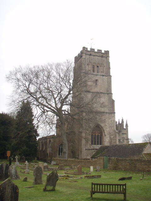
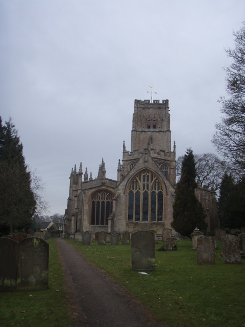
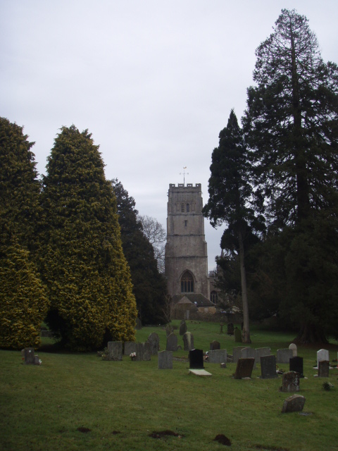
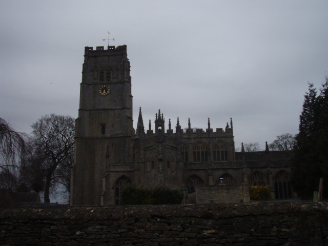
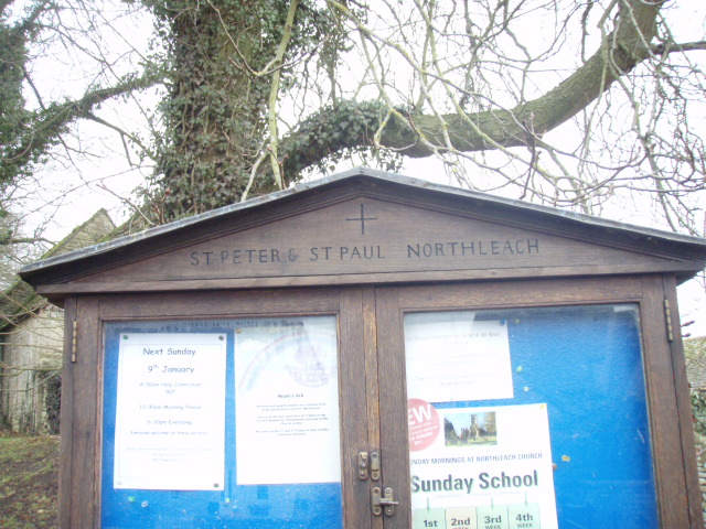
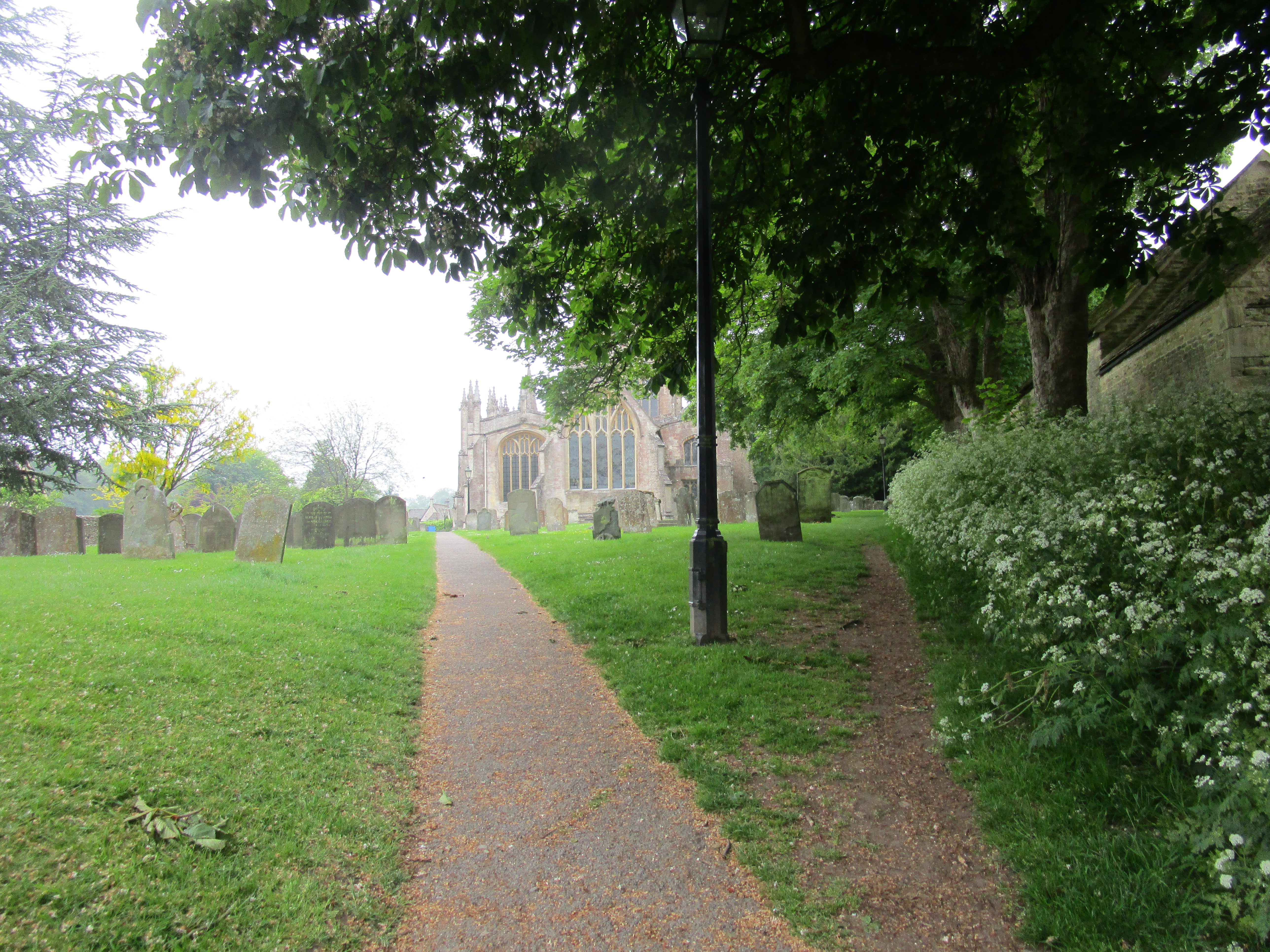
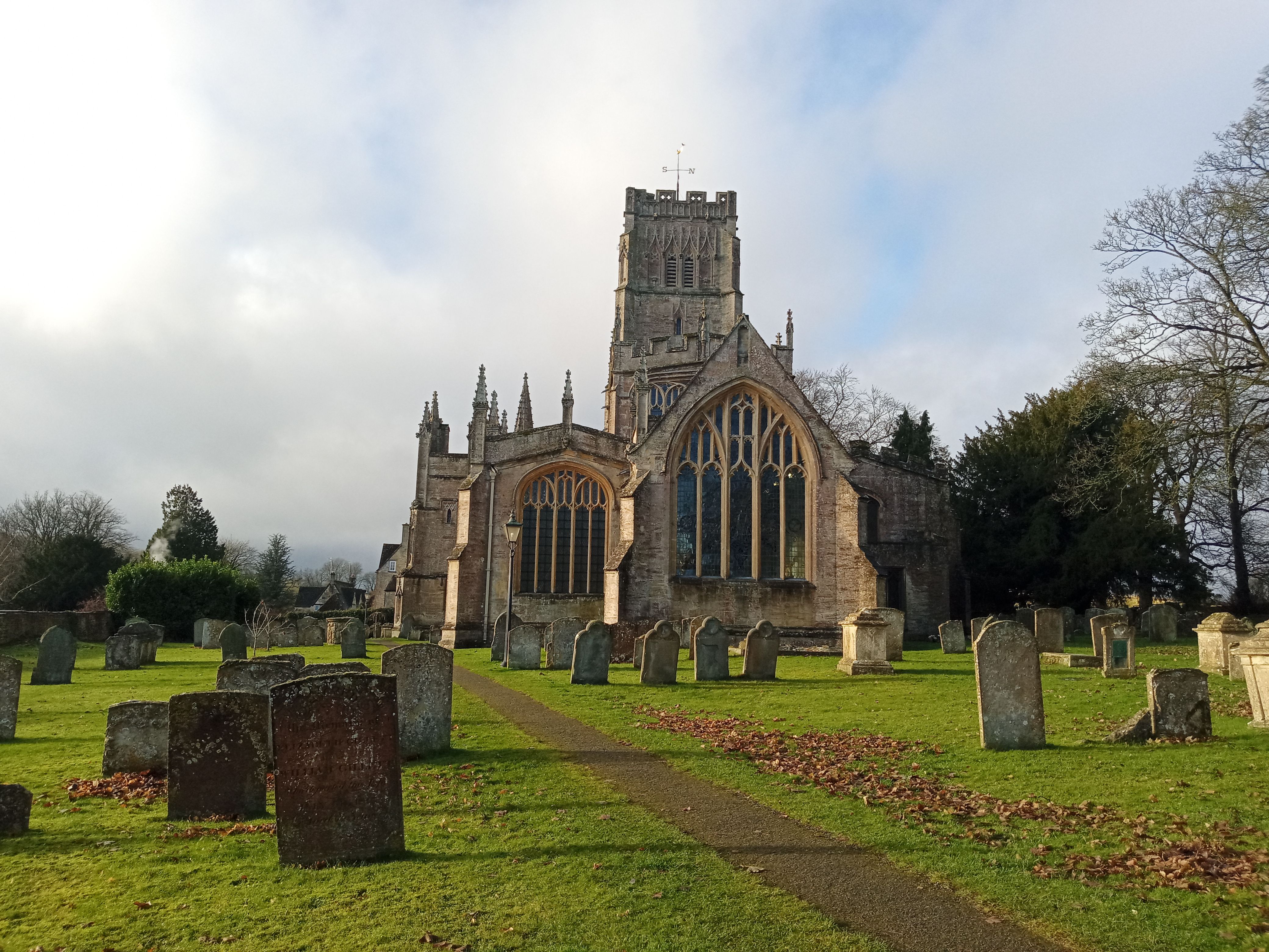
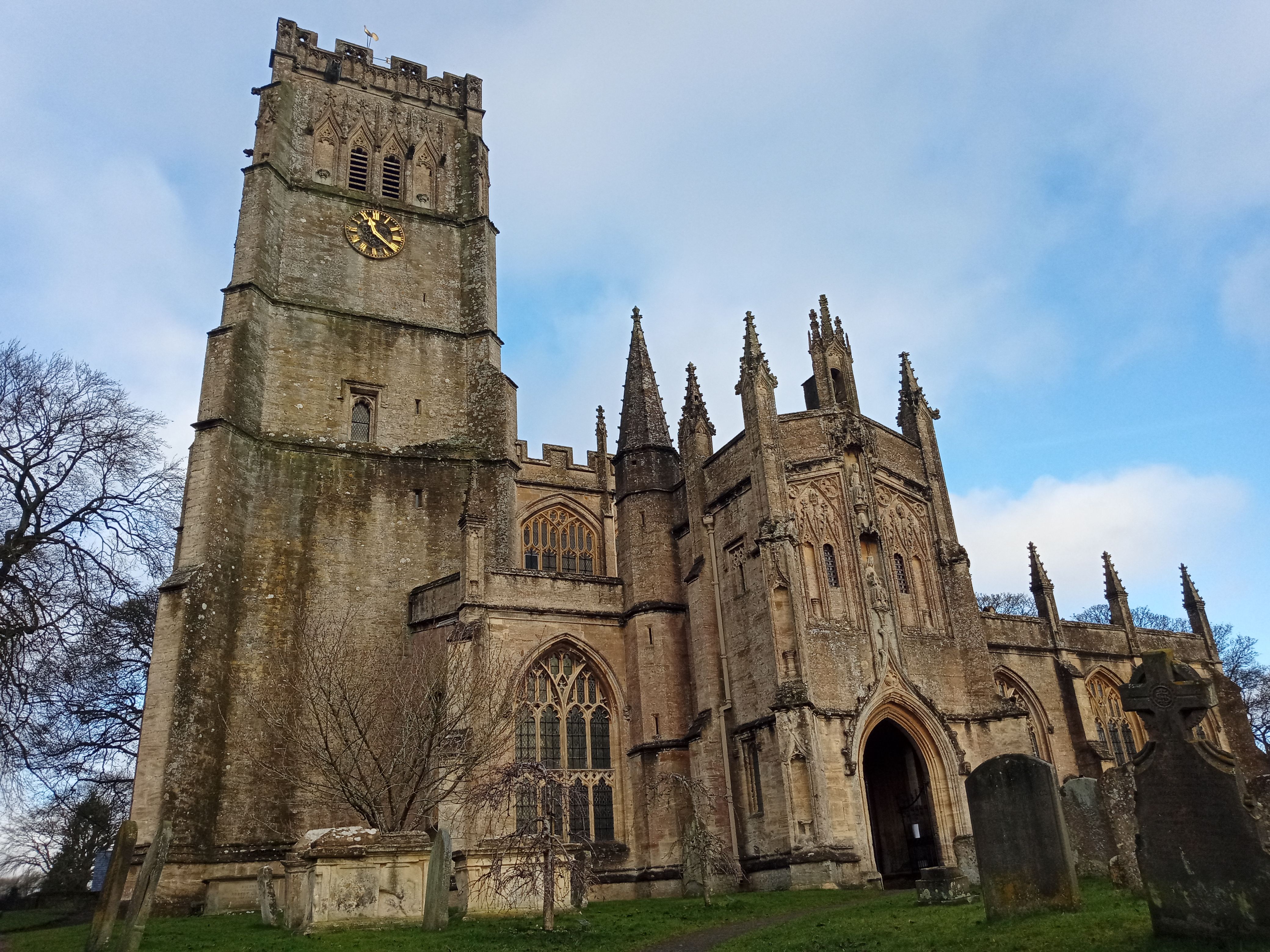
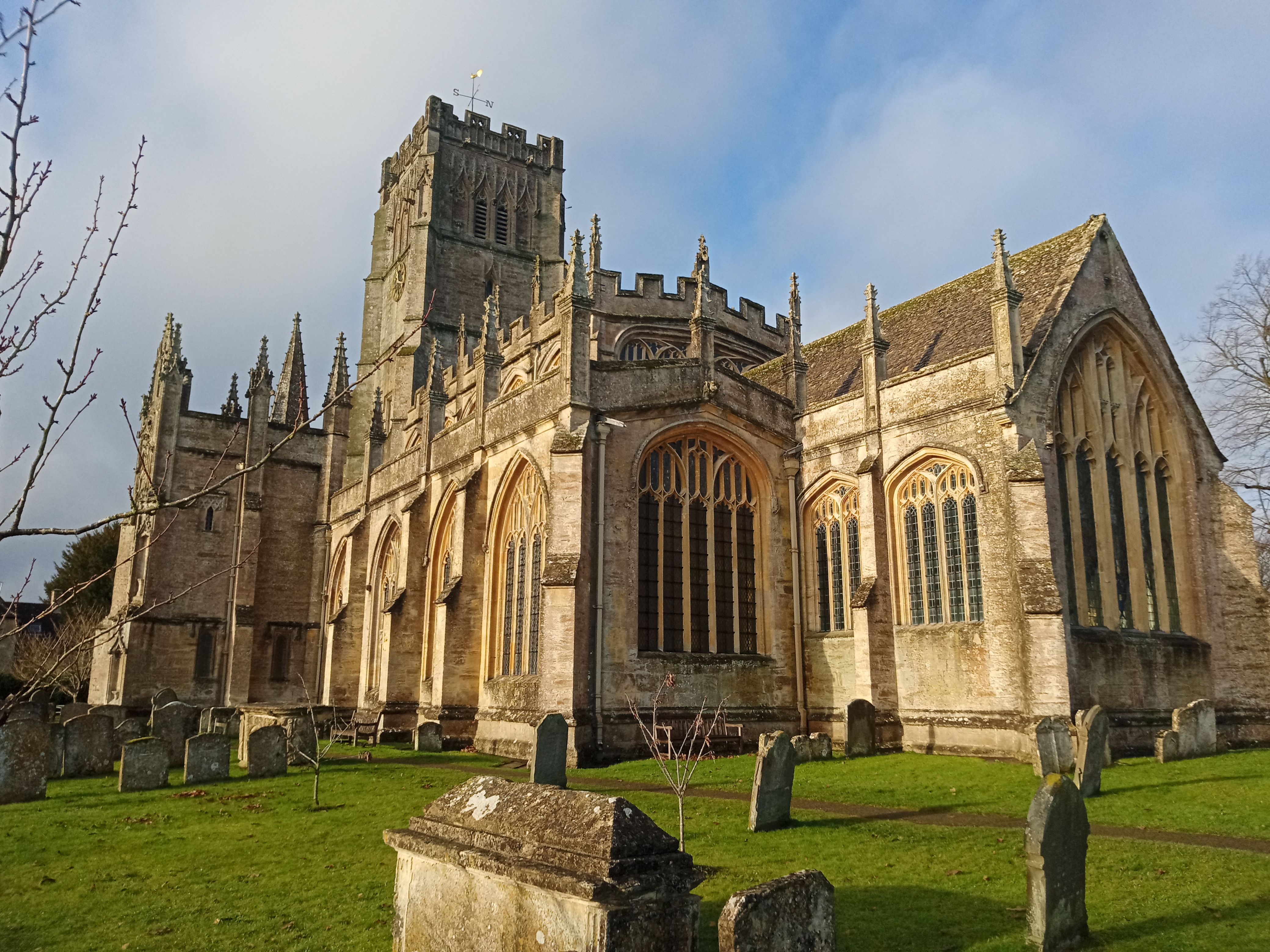
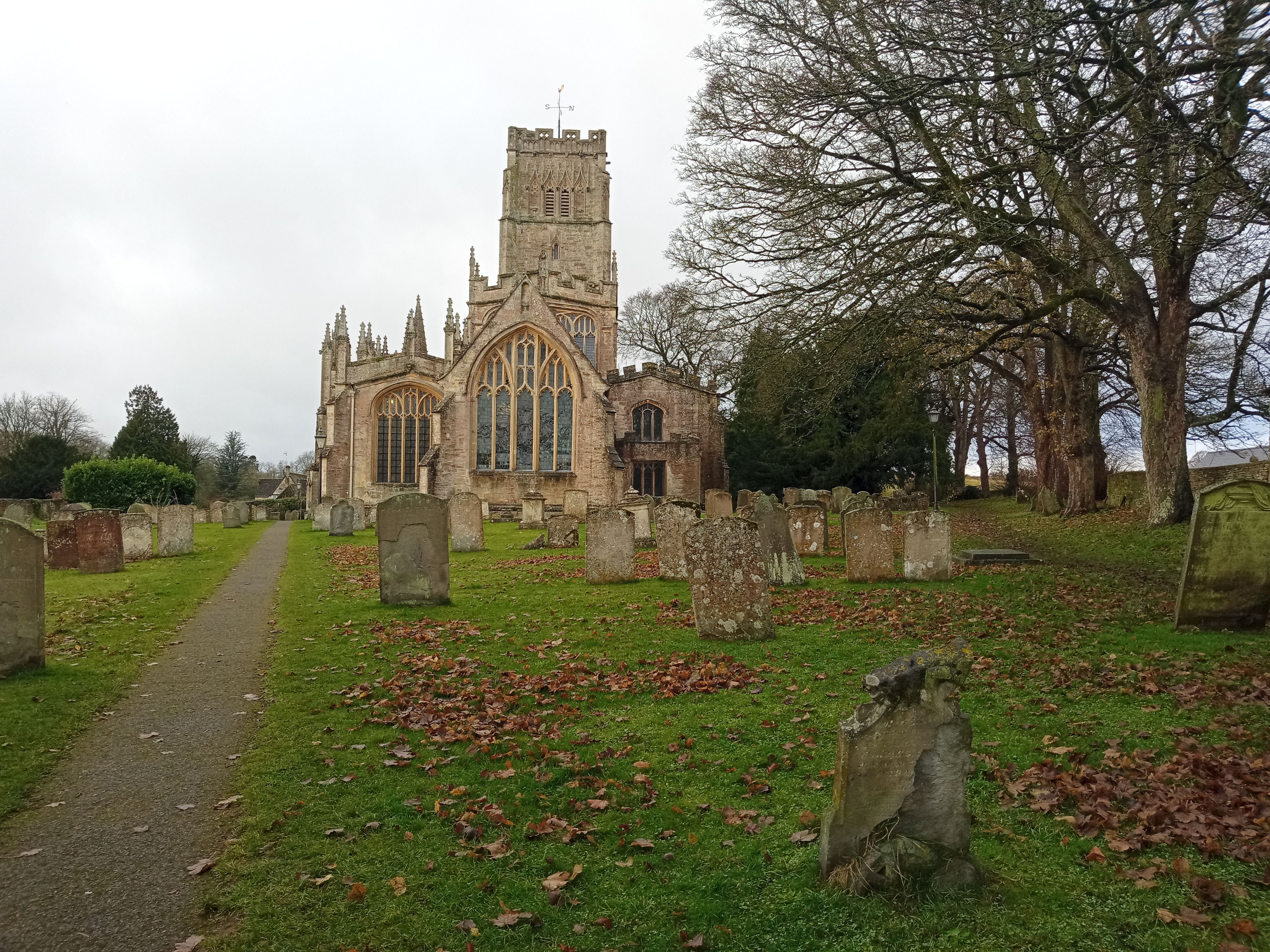
| Description | : | The fine two-storey south porch to the church built in 1480The Church of St Peter and St Paul in Northleach is known as The Cathedral of the Cotswolds and is a wool church. The church dates from the early 12th century, and was built on the foundations of on an earlier building, also believed to have been a church. The church was built with stone dug from the quarry in the town itself and what is now the Market Square. The 12th century version was simple, consisting little more than an aisle. That the chancels were a later addition is... Read More |
frequently asked questions (FAQ):
-
Where is SS Peter & Paul?
SS Peter & Paul is located at Church Walk Northleach, Cotswold District ,Gloucestershire ,England.
-
SS Peter & Paul cemetery's updated grave count on graveviews.com?
154 memorials
-
Where are the coordinates of the SS Peter & Paul?
Latitude: 51.8295720
Longitude: -1.8390300
Nearby Cemetories:
1. All Saints Churchyard
Turkdean, Cotswold District, England
Coordinate: 51.8554710, -1.8456120
2. St Bartholomew Churchyard
Notgrove, Cotswold District, England
Coordinate: 51.8778620, -1.8426720
3. Church of St. Oswald
Compton Abdale, Cotswold District, England
Coordinate: 51.8481353, -1.9148839
4. St Mary Magdalene Churchyard
Sherborne, Cotswold District, England
Coordinate: 51.8308380, -1.7562570
5. Sherborne Churchyard extension
Sherborne, Cotswold District, England
Coordinate: 51.8308450, -1.7536600
6. All Saints Churchyard Cold Salperton
Cotswold District, England
Coordinate: 51.8771977, -1.8895386
7. St Andrews
Chedworth, Cotswold District, England
Coordinate: 51.8078450, -1.9259590
8. St. Mary the Virgin Churchyard
Bibury, Cotswold District, England
Coordinate: 51.7587037, -1.8376852
9. St Lawrence Churchyard
Bourton-on-the-Water, Cotswold District, England
Coordinate: 51.8860500, -1.7588250
10. Water Cemetery
Bourton-on-the-Water, Cotswold District, England
Coordinate: 51.8853540, -1.7530440
11. Baptist Churchyard
Bourton-on-the-Water, Cotswold District, England
Coordinate: 51.8856973, -1.7530678
12. St. John the Baptist Churchyard
Great Rissington, Cotswold District, England
Coordinate: 51.8526130, -1.7180490
13. St Andrew's Churchyard
Naunton, Cotswold District, England
Coordinate: 51.9091340, -1.8384210
14. Naunton Baptist Chapel
Naunton, Cotswold District, England
Coordinate: 51.9092073, -1.8356252
15. St. Peter's Churchyard
Little Rissington, Cotswold District, England
Coordinate: 51.8780460, -1.7262610
16. The Parish Church of St. Peter
Upper Slaughter, Cotswold District, England
Coordinate: 51.9074150, -1.7764140
17. St. Mary's Churchyard
Lower Slaughter, Cotswold District, England
Coordinate: 51.9018830, -1.7605380
18. St. Peter's Churchyard
Little Barrington, Cotswold District, England
Coordinate: 51.8130930, -1.6983770
19. St. John the Baptist Churchyard
Coln St Aldwyns, Cotswold District, England
Coordinate: 51.7447000, -1.7928600
20. St Mary Churchyard
Barnsley, Cotswold District, England
Coordinate: 51.7445030, -1.8894860
21. St. Nicholas Churchyard
Hatherop, Cotswold District, England
Coordinate: 51.7444700, -1.7780800
22. St. Nicholas' Churchyard
Hatherop, Cotswold District, England
Coordinate: 51.7443000, -1.7786600
23. St. Andrew's Churchyard
Sevenhampton, Tewkesbury Borough, England
Coordinate: 51.8941180, -1.9539430
24. All Saints Churchyard
North Cerney, Cotswold District, England
Coordinate: 51.7687300, -1.9746800