
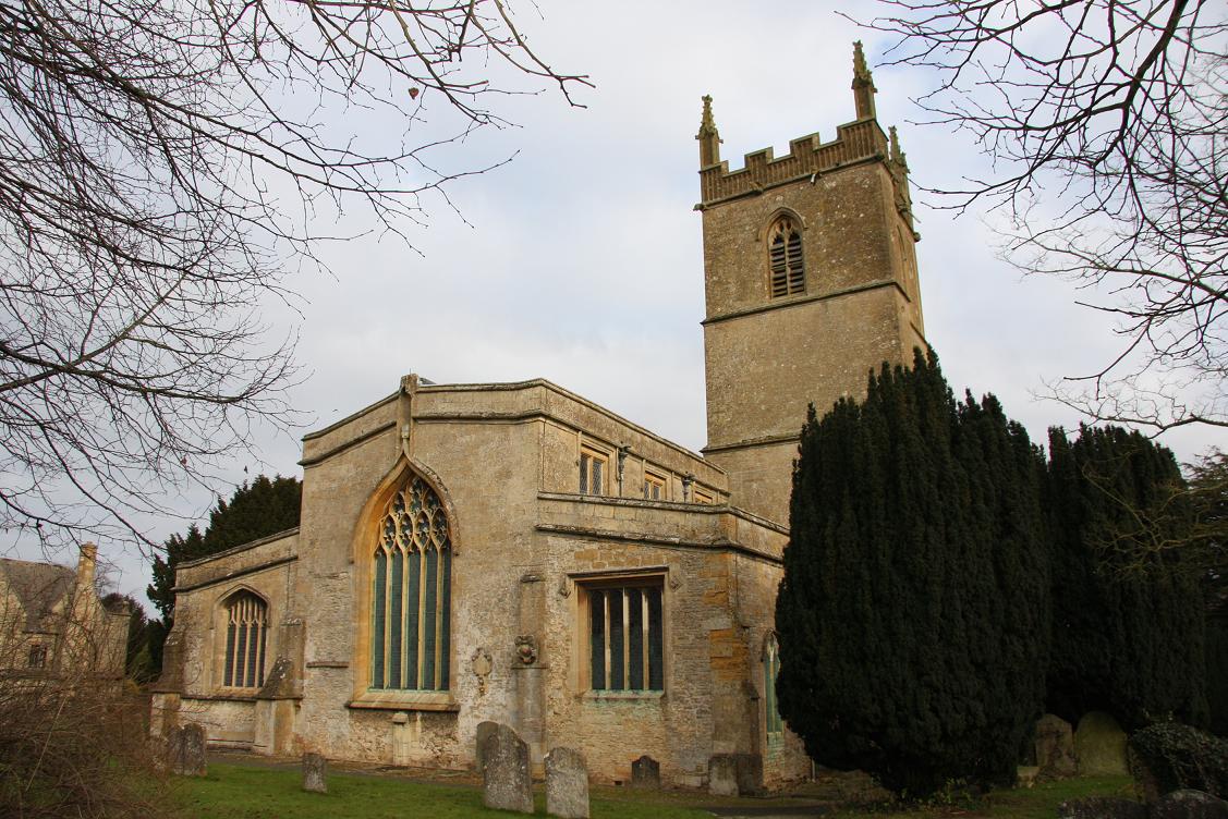
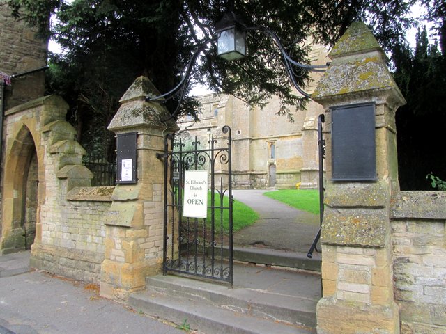
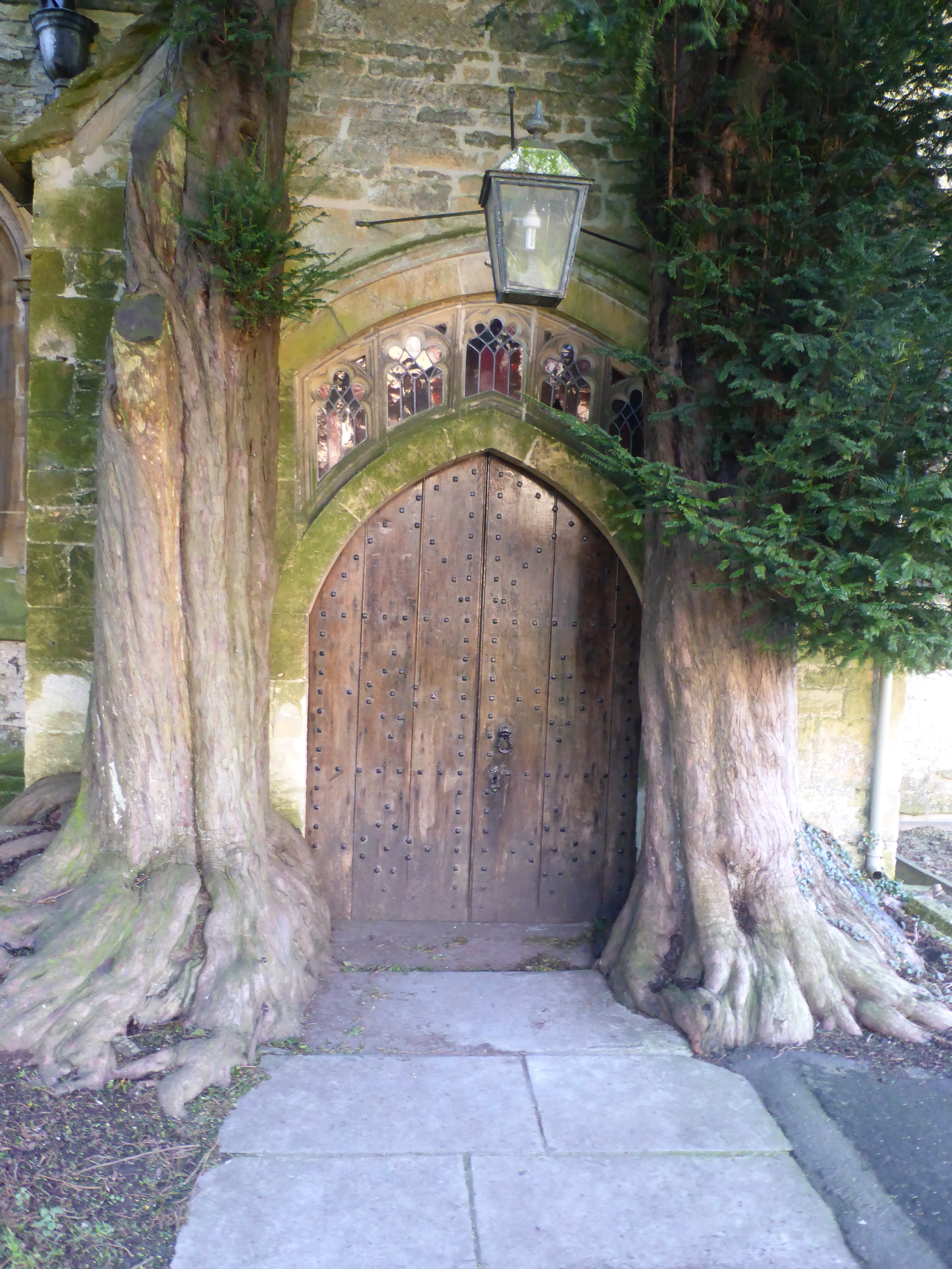
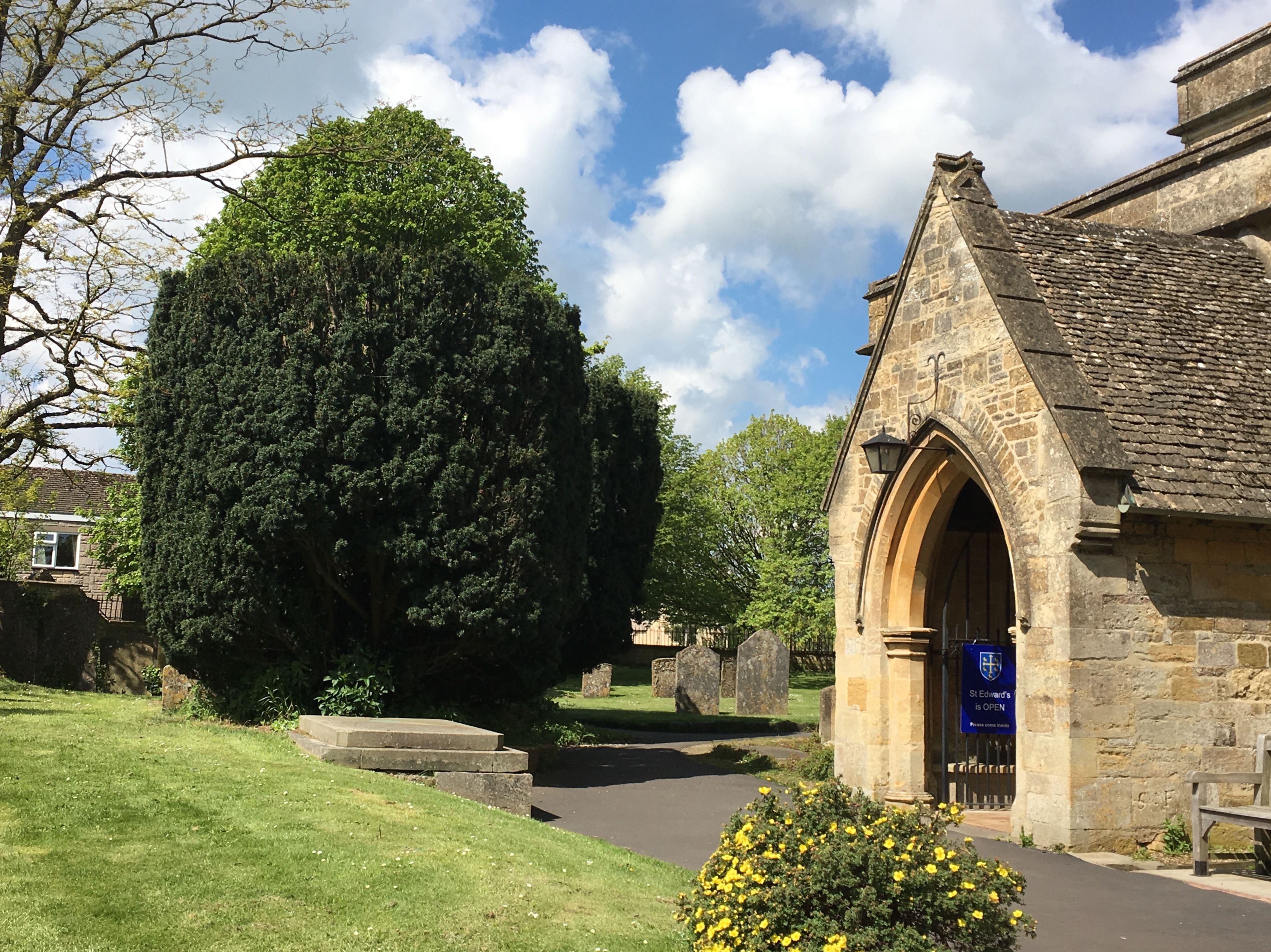
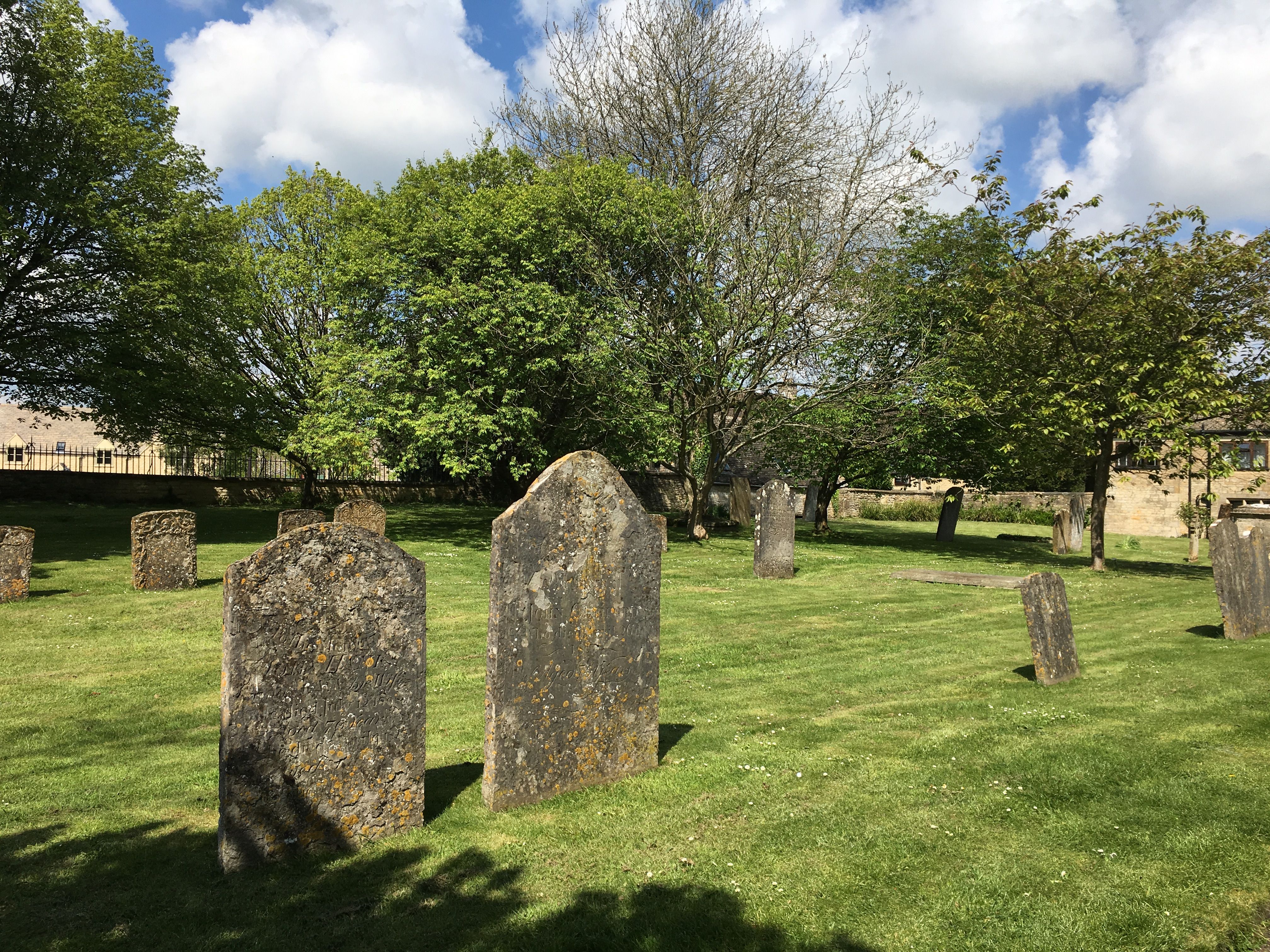
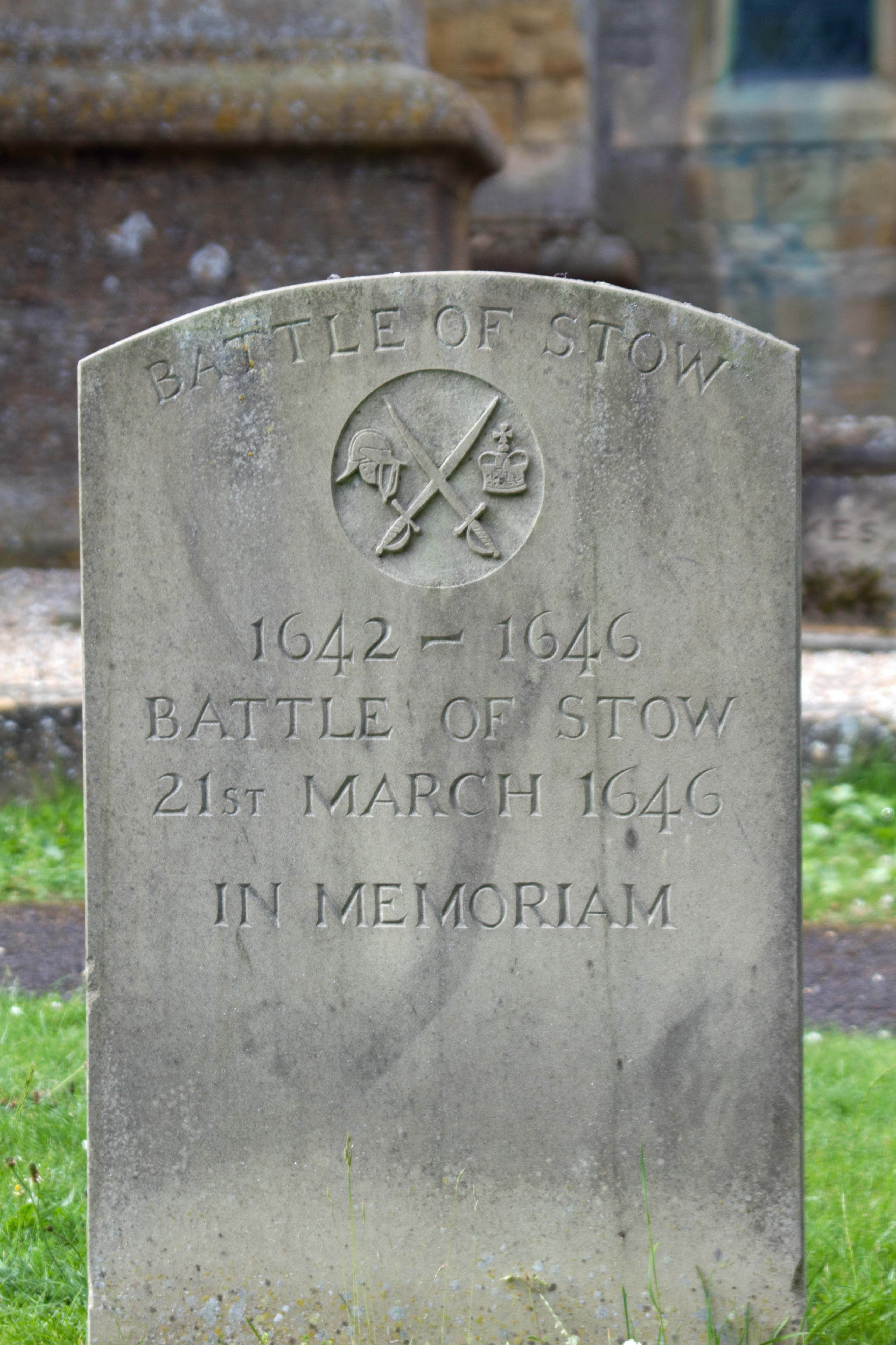
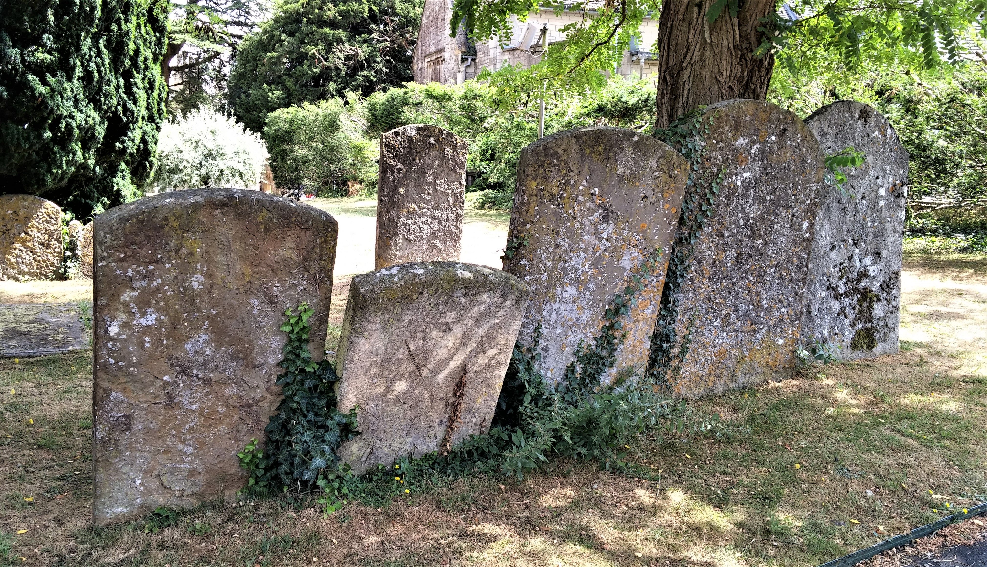
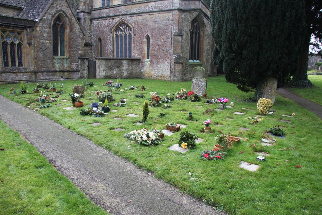
| Memorials | : | 110 |
| Location | : | Stow-on-the-Wold, Cotswold District, England |
| Coordinate | : | 51.9299810, -1.7238290 |
frequently asked questions (FAQ):
-
Where is St. Edward Churchyard?
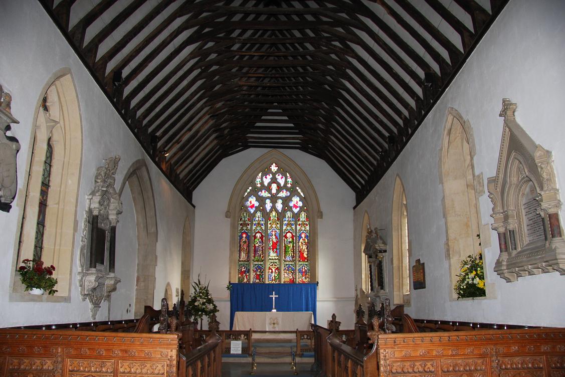
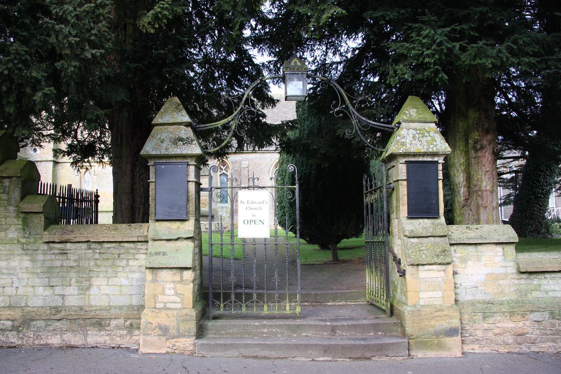
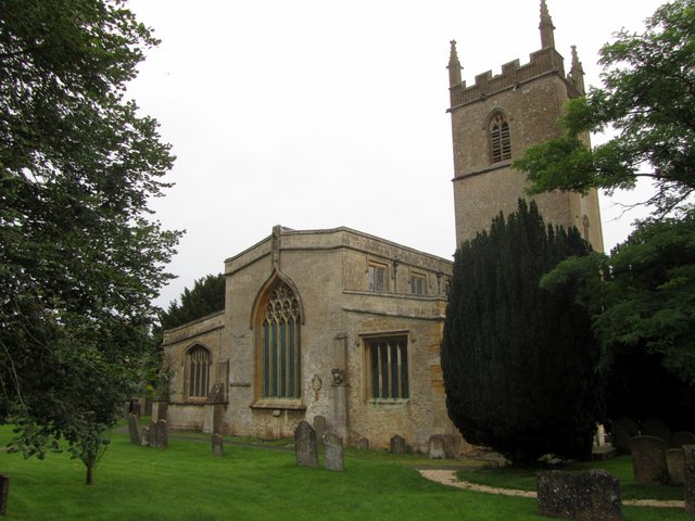
St. Edward Churchyard is located at Stow-on-the-Wold, Cotswold District ,Gloucestershire ,England.
-
St. Edward Churchyard cemetery's updated grave count on graveviews.com?
110 memorials
-
Where are the coordinates of the St. Edward Churchyard?
Latitude: 51.9299810
Longitude: -1.7238290
Nearby Cemetories:
1. Stow-on-the-Wold Cemetery
Stow-on-the-Wold, Cotswold District, England
Coordinate: 51.9264100, -1.7254670
2. St Mary's Churchyard
Upper Swell, Cotswold District, England
Coordinate: 51.9398030, -1.7441910
3. St Paul Churchyard
Broadwell, Cotswold District, England
Coordinate: 51.9476200, -1.7095100
4. St. Mary the Virgin Churchyard
Icomb, Cotswold District, England
Coordinate: 51.9018000, -1.6905000
5. St. Mary's Churchyard
Lower Slaughter, Cotswold District, England
Coordinate: 51.9018830, -1.7605380
6. St. James Churchyard
Longborough, Cotswold District, England
Coordinate: 51.9658220, -1.7407990
7. The Parish Church of St. Peter
Upper Slaughter, Cotswold District, England
Coordinate: 51.9074150, -1.7764140
8. St Nicholas Churchyard
Oddington, Cotswold District, England
Coordinate: 51.9278340, -1.6597080
9. St Peter Churchyard
Daylesford, Cotswold District, England
Coordinate: 51.9310080, -1.6479680
10. Baptist Churchyard
Bourton-on-the-Water, Cotswold District, England
Coordinate: 51.8856973, -1.7530678
11. Water Cemetery
Bourton-on-the-Water, Cotswold District, England
Coordinate: 51.8853540, -1.7530440
12. St Lawrence Churchyard
Bourton-on-the-Water, Cotswold District, England
Coordinate: 51.8860500, -1.7588250
13. St. Peter's Churchyard
Little Rissington, Cotswold District, England
Coordinate: 51.8780460, -1.7262610
14. St. Mary the Virgin Churchyard
Chastleton, West Oxfordshire District, England
Coordinate: 51.9595360, -1.6395330
15. St Andrew's Churchyard
Kingham, West Oxfordshire District, England
Coordinate: 51.9113760, -1.6255990
16. St Nicholas Churchyard
Idbury, West Oxfordshire District, England
Coordinate: 51.8784370, -1.6584080
17. Naunton Baptist Chapel
Naunton, Cotswold District, England
Coordinate: 51.9092073, -1.8356252
18. St Marys Churchyard
Batsford, Cotswold District, England
Coordinate: 52.0030800, -1.7291600
19. St Peter's Church
Cornwell, West Oxfordshire District, England
Coordinate: 51.9418660, -1.6062440
20. St Andrew's Churchyard
Naunton, Cotswold District, England
Coordinate: 51.9091340, -1.8384210
21. Saint John the Baptist Church
Fifield, West Oxfordshire District, England
Coordinate: 51.8668460, -1.6536260
22. St. John the Baptist Churchyard
Great Rissington, Cotswold District, England
Coordinate: 51.8526130, -1.7180490
23. St Leonard's
Moreton-in-Marsh, Cotswold District, England
Coordinate: 52.0087019, -1.6822226
24. All Saints Churchyard
Churchill, West Oxfordshire District, England
Coordinate: 51.9146590, -1.5898010