
| Memorials | : | 0 |
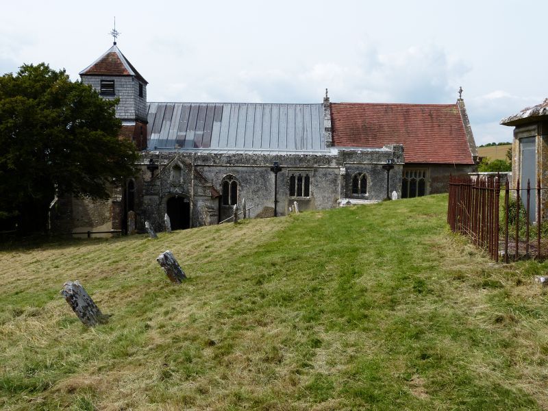
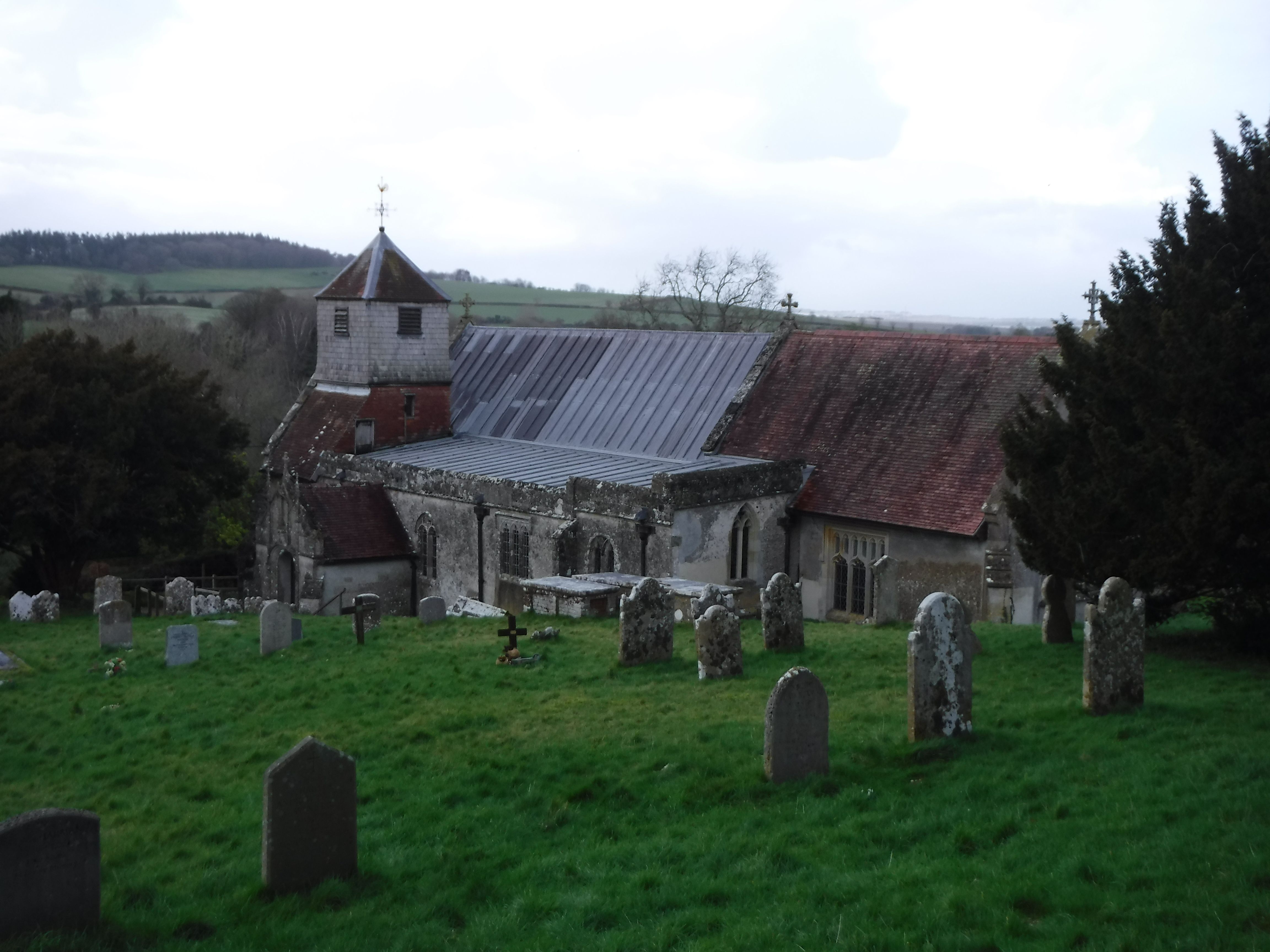
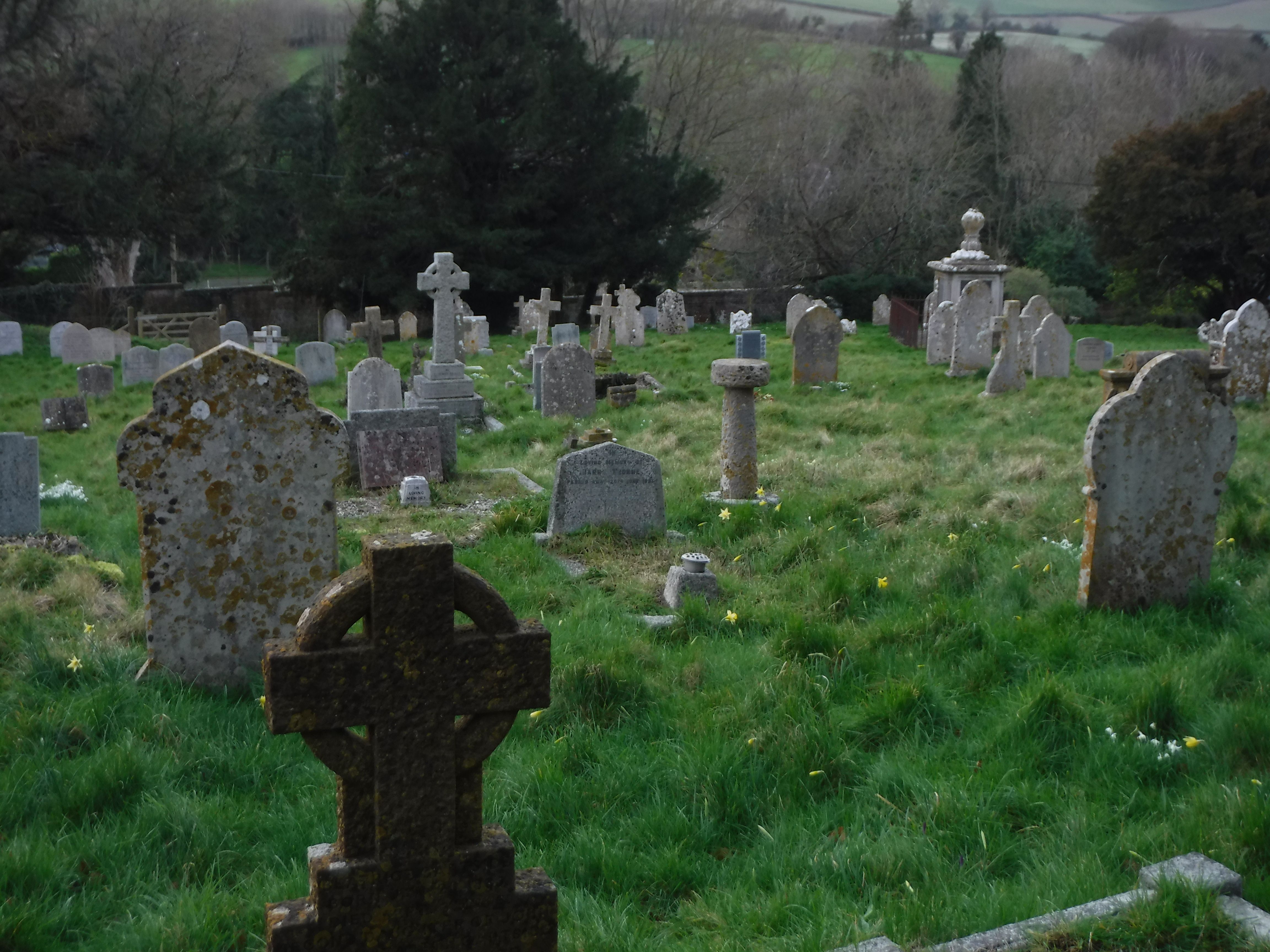
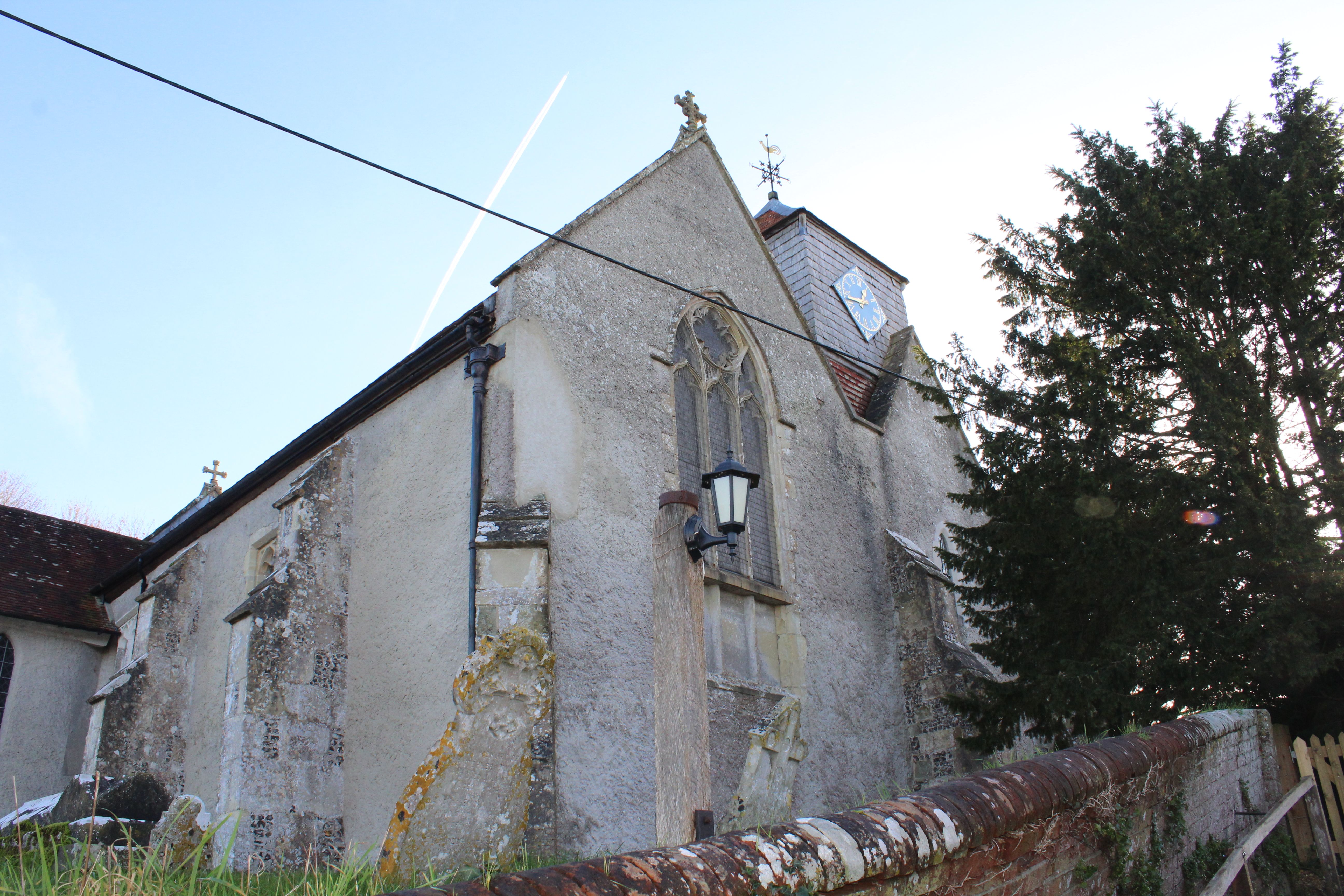
| Location | : | Rockbourne, New Forest District, England |
| Coordinate | : | 50.9640400, -1.8369600 |
frequently asked questions (FAQ):
-
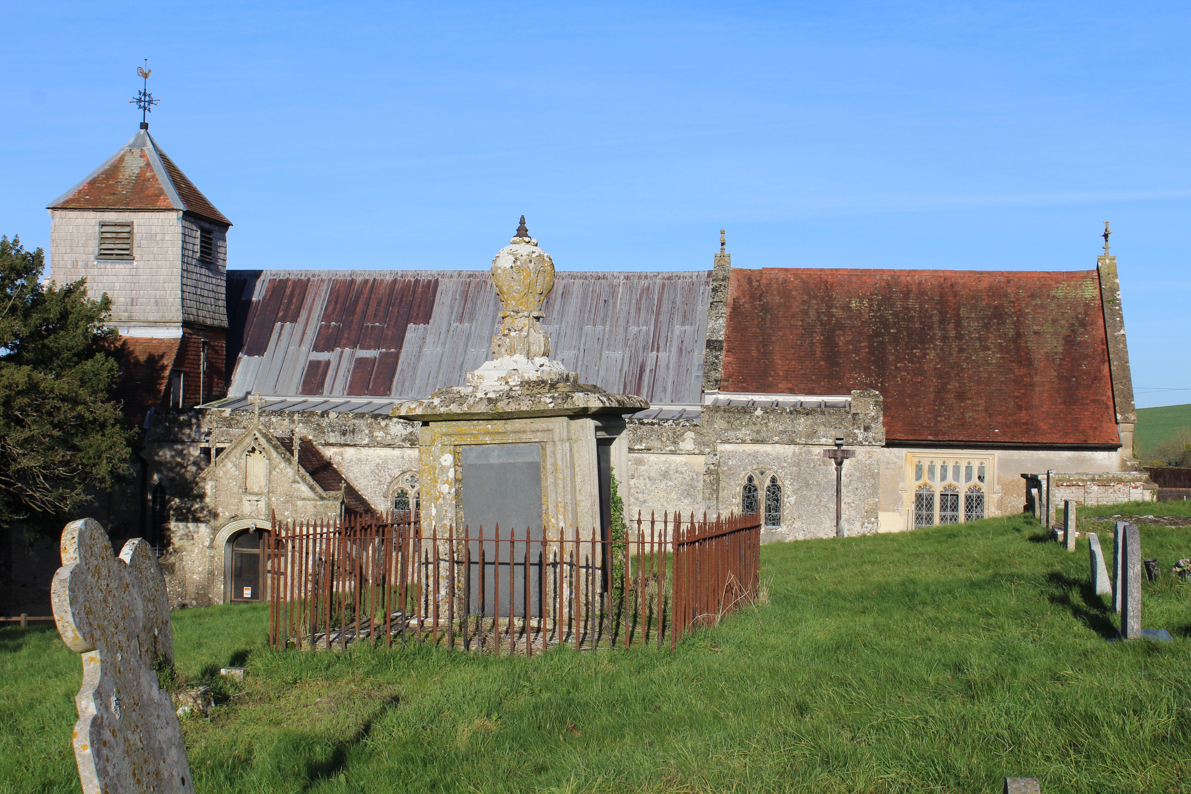
Where is St. Andrew's Churchyard?
St. Andrew's Churchyard is located at Rockbourne, New Forest District ,Hampshire , SP6 3NNEngland.
-
St. Andrew's Churchyard cemetery's updated grave count on graveviews.com?
0 memorials
-
Where are the coordinates of the St. Andrew's Churchyard?
Latitude: 50.9640400
Longitude: -1.8369600
Nearby Cemetories:
1. St. Leonard's Churchyard
Whitsbury, New Forest District, England
Coordinate: 50.9713900, -1.8176000
2. St George Churchyard
Damerham, New Forest District, England
Coordinate: 50.9416320, -1.8483240
3. St. Mary's Churchyard
Breamore, New Forest District, England
Coordinate: 50.9687400, -1.7834000
4. All Saints Churchyard
Martin, New Forest District, England
Coordinate: 50.9753760, -1.9009220
5. Fordingbridge Methodist Church
Fordingbridge, New Forest District, England
Coordinate: 50.9251012, -1.7948375
6. Alderholt Chapelyard
Alderholt, North Dorset District, England
Coordinate: 50.9164000, -1.8259524
7. St. Mary the Virgin Churchyard
Fordingbridge, New Forest District, England
Coordinate: 50.9236200, -1.7946300
8. Woodgreen Cemetery
Woodgreen, New Forest District, England
Coordinate: 50.9525032, -1.7574225
9. Fordingbridge Cemetery
Fordingbridge, New Forest District, England
Coordinate: 50.9253570, -1.7818480
10. St. James' Churchyard
Alderholt, North Dorset District, England
Coordinate: 50.9127470, -1.8525560
11. St Mary Churchyard
Hale, New Forest District, England
Coordinate: 50.9670380, -1.7473110
12. Stuckton Congregational Chapelyard
New Forest District, England
Coordinate: 50.9182358, -1.7740048
13. Holy Ascension Churchyard
Hyde, New Forest District, England
Coordinate: 50.9115300, -1.7660300
14. Ss Mary & Bartholomew Churchyard
Cranborne, East Dorset District, England
Coordinate: 50.9187790, -1.9237020
15. St. Michael and All Angels Cemetery
Coombe Bissett, Wiltshire Unitary Authority, England
Coordinate: 51.0361120, -1.8473230
16. St. Rumbold's Churchyard
Pentridge, East Dorset District, England
Coordinate: 50.9598410, -1.9537360
17. Church of St. Michael and All the Angels
Downton, Wiltshire Unitary Authority, England
Coordinate: 51.0106010, -1.7411390
18. St Nicholas
Edmondsham, East Dorset District, England
Coordinate: 50.9032700, -1.9143680
19. All Saints Churchyard
Harbridge, New Forest District, England
Coordinate: 50.8905600, -1.7956500
20. St. John the Baptist Churchyard
Bishopstone (Salisbury), Wiltshire Unitary Authority, England
Coordinate: 51.0379160, -1.8812960
21. St. Martin's Churchyard
Ibsley, New Forest District, England
Coordinate: 50.8835000, -1.7893100
22. St. Michael and All Angels Churchyard
Verwood, East Dorset District, England
Coordinate: 50.8778860, -1.8808700
23. All Saints Churchyard
Broad Chalke, Wiltshire Unitary Authority, England
Coordinate: 51.0274220, -1.9433110
24. St Mary and All Saints Churchyard
Ellingham, New Forest District, England
Coordinate: 50.8742140, -1.7964340