| Memorials | : | 0 |
| Location | : | Bishopstone (Salisbury), Wiltshire Unitary Authority, England |
| Website | : | www.bishopstone-salisbury.co.uk/church.html |
| Coordinate | : | 51.0379160, -1.8812960 |
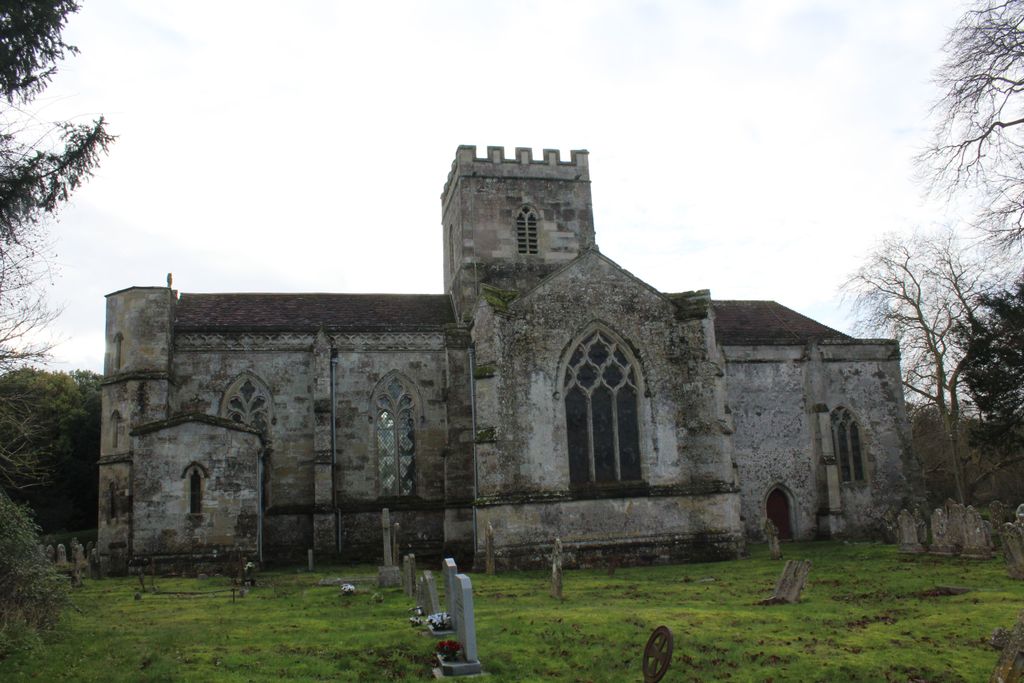
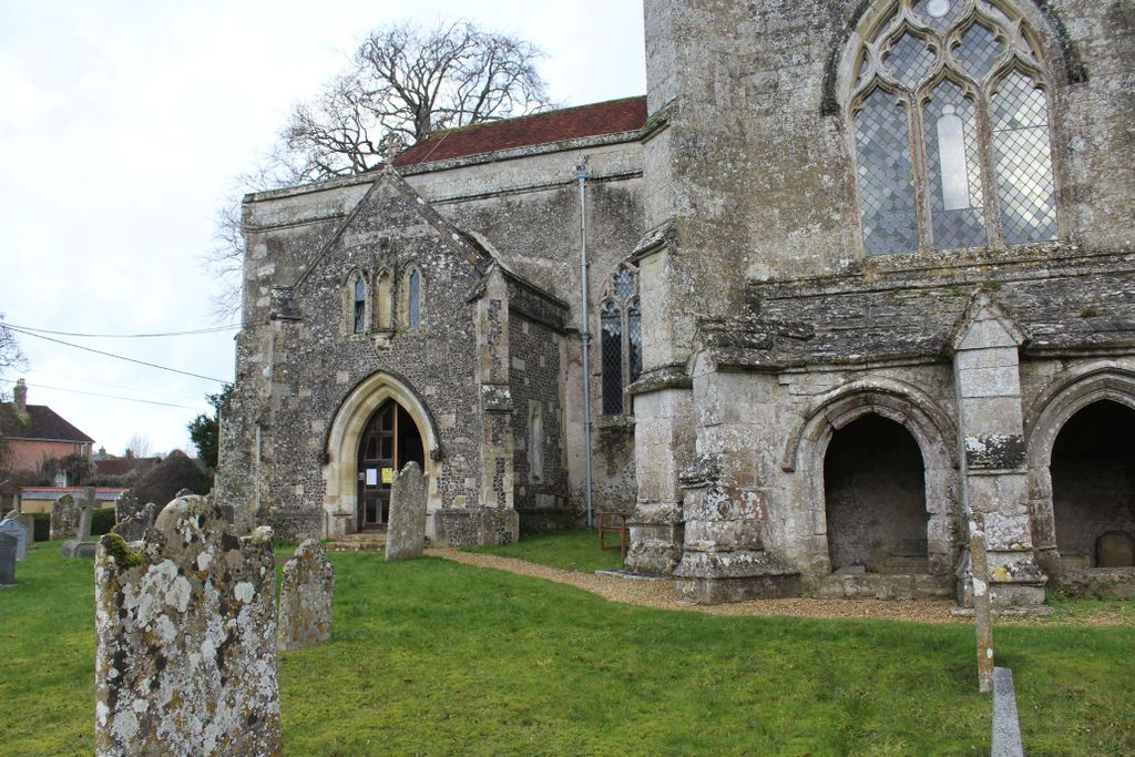
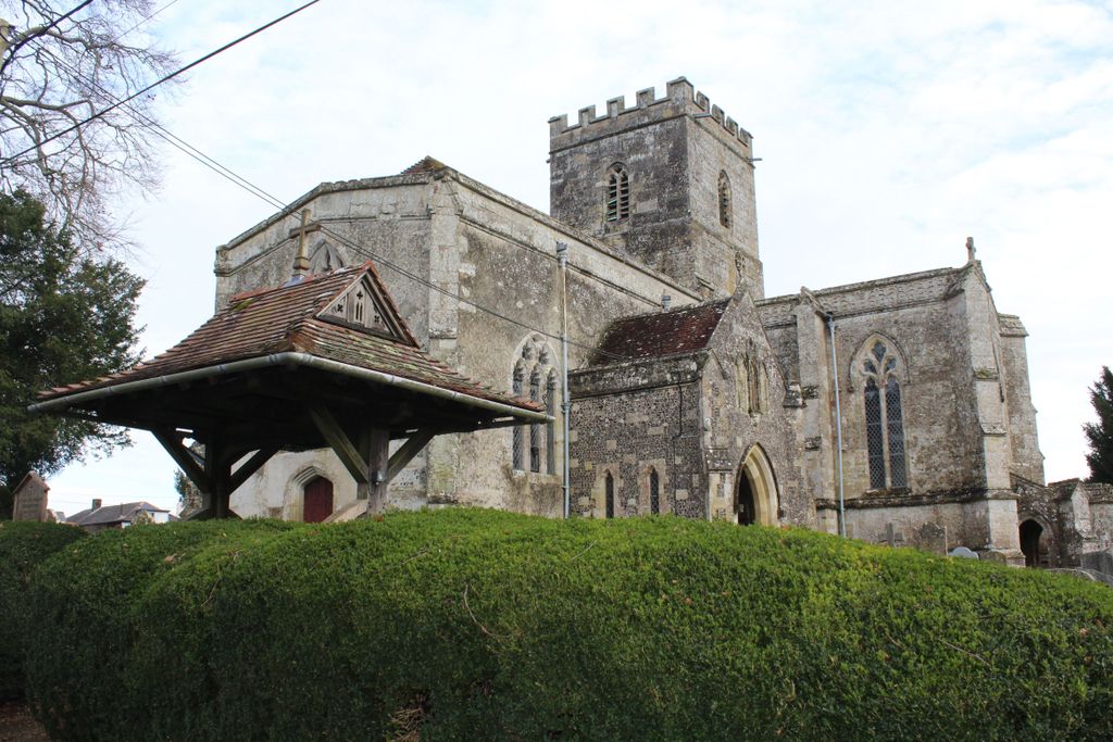
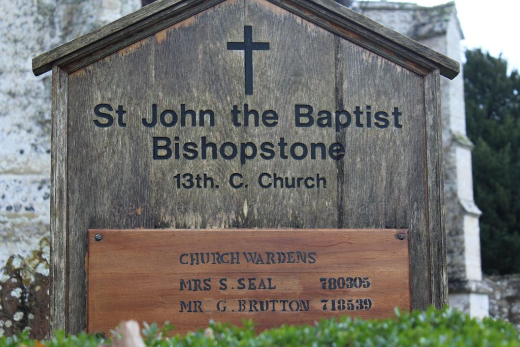
| Description | : | The church of St John the Baptist is a large cruciform church with a Perpendicular central tower. There are several interesting monuments outside, by the south transept, a small stone cloister of two vaulted bays shelters a decorated tomb chest, perhaps that of the founder of the church. In the north transept is another richly decorated tomb recess, with stone coffin-lids, and in the south transept a mid-19th century Gothic monument to a former rector by A. W. Pugin. At one time, above this was a window designed by Pugin and executed by William Wailes. This has since been replaced... Read More |
frequently asked questions (FAQ):
-
Where is St. John the Baptist Churchyard?
St. John the Baptist Churchyard is located at 3 The Beeches Bishopstone (Salisbury), Wiltshire Unitary Authority ,Wiltshire , SP5 4AREngland.
-
St. John the Baptist Churchyard cemetery's updated grave count on graveviews.com?
0 memorials
-
Where are the coordinates of the St. John the Baptist Churchyard?
Latitude: 51.0379160
Longitude: -1.8812960
Nearby Cemetories:
1. St. Michael and All Angels Cemetery
Coombe Bissett, Wiltshire Unitary Authority, England
Coordinate: 51.0361120, -1.8473230
2. All Saints Churchyard
Broad Chalke, Wiltshire Unitary Authority, England
Coordinate: 51.0274220, -1.9433110
3. Bemerton St John
Bemerton, Wiltshire Unitary Authority, England
Coordinate: 51.0759324, -1.8333699
4. St Andrew Churchyard
Bemerton, Wiltshire Unitary Authority, England
Coordinate: 51.0740580, -1.8252960
5. Saint Martin Churchyard
Barford St Martin, Wiltshire Unitary Authority, England
Coordinate: 51.0818400, -1.9210400
6. Barford St Martin Church Cemetery
Barford St Martin, Wiltshire Unitary Authority, England
Coordinate: 51.0837860, -1.9186010
7. St. Michael's Churchyard
Compton Chamberlayne, Wiltshire Unitary Authority, England
Coordinate: 51.0700400, -1.9598240
8. All Saints Churchyard
Martin, New Forest District, England
Coordinate: 50.9753760, -1.9009220
9. Holy Trinity Churchyard
Bowerchalke, Wiltshire Unitary Authority, England
Coordinate: 51.0064450, -1.9747320
10. St Editha Churchyard
Baverstock, Wiltshire Unitary Authority, England
Coordinate: 51.0835750, -1.9603790
11. St. Peter's Churchyard
Britford, Wiltshire Unitary Authority, England
Coordinate: 51.0551650, -1.7689880
12. St. Leonard's Churchyard
Whitsbury, New Forest District, England
Coordinate: 50.9713900, -1.8176000
13. St. Andrew's Churchyard
Rockbourne, New Forest District, England
Coordinate: 50.9640400, -1.8369600
14. St Mary's Churchyard
Alderbury, Wiltshire Unitary Authority, England
Coordinate: 51.0413780, -1.7413140
15. All Saints Churchyard
Closworth, South Somerset District, England
Coordinate: 51.0588880, -2.0211820
16. St. Rumbold's Churchyard
Pentridge, East Dorset District, England
Coordinate: 50.9598410, -1.9537360
17. Church of St. Michael and All the Angels
Downton, Wiltshire Unitary Authority, England
Coordinate: 51.0106010, -1.7411390
18. St. Mary's Churchyard
Breamore, New Forest District, England
Coordinate: 50.9687400, -1.7834000
19. St George Churchyard
Damerham, New Forest District, England
Coordinate: 50.9416320, -1.8483240
20. St. Mary's Churchyard
Alvediston, Wiltshire Unitary Authority, England
Coordinate: 51.0149340, -2.0344800
21. St Mary Churchyard
Hale, New Forest District, England
Coordinate: 50.9670380, -1.7473110
22. Broad Chalke Congregational Chapelyard
Broad Chalke, Wiltshire Unitary Authority, England
Coordinate: 51.0523805, -1.7071162
23. St. James' Churchyard
Ansty, Wiltshire Unitary Authority, England
Coordinate: 51.0359979, -2.0634072
24. St. Mary's Churchyard
Sixpenny Handley, East Dorset District, England
Coordinate: 50.9552100, -2.0076000


