
| Memorials | : | 0 |
| Location | : | Breamore, New Forest District, England |
| Coordinate | : | 50.9687400, -1.7834000 |
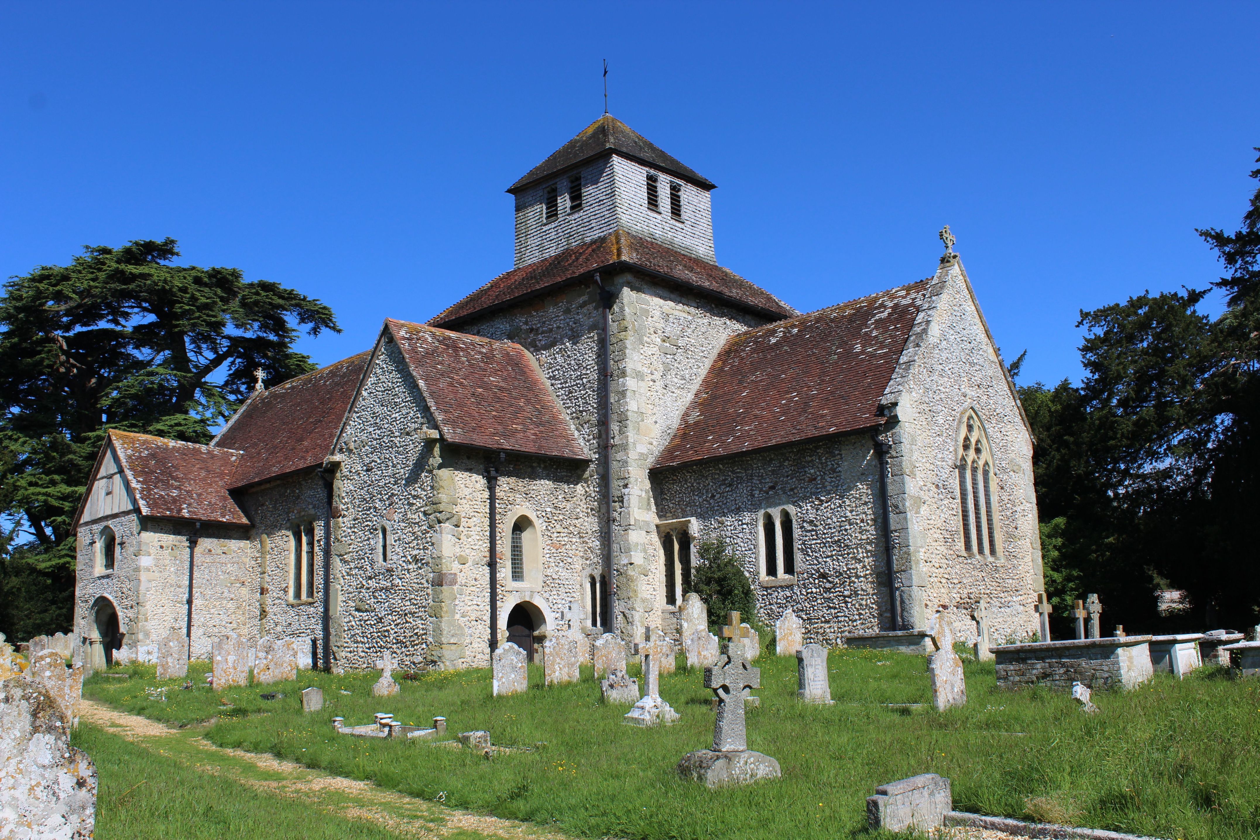
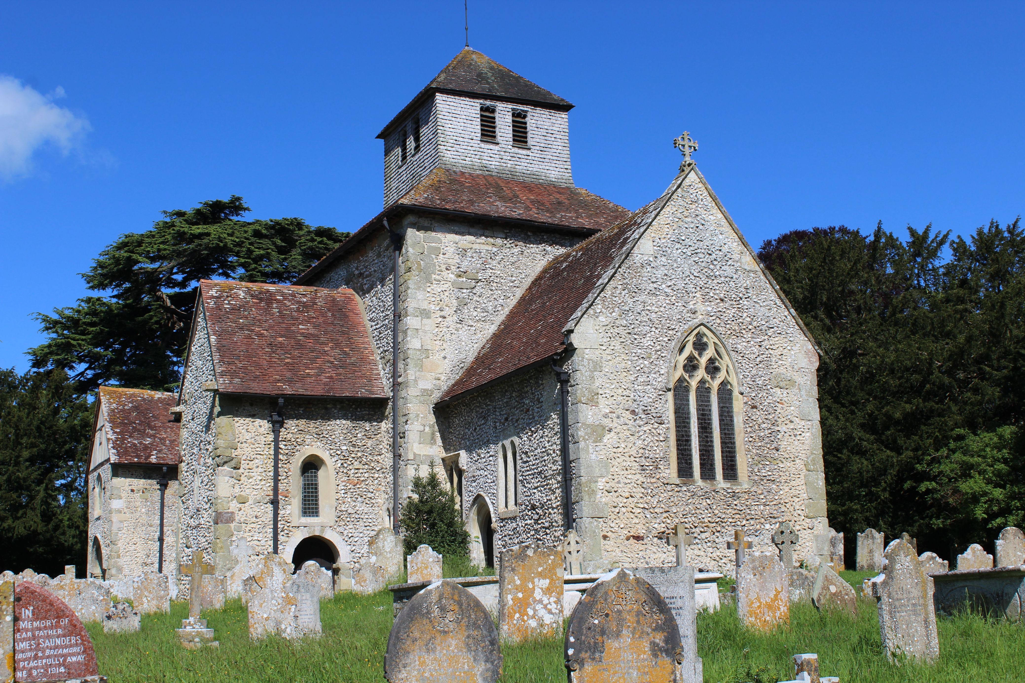
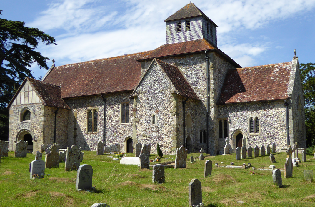
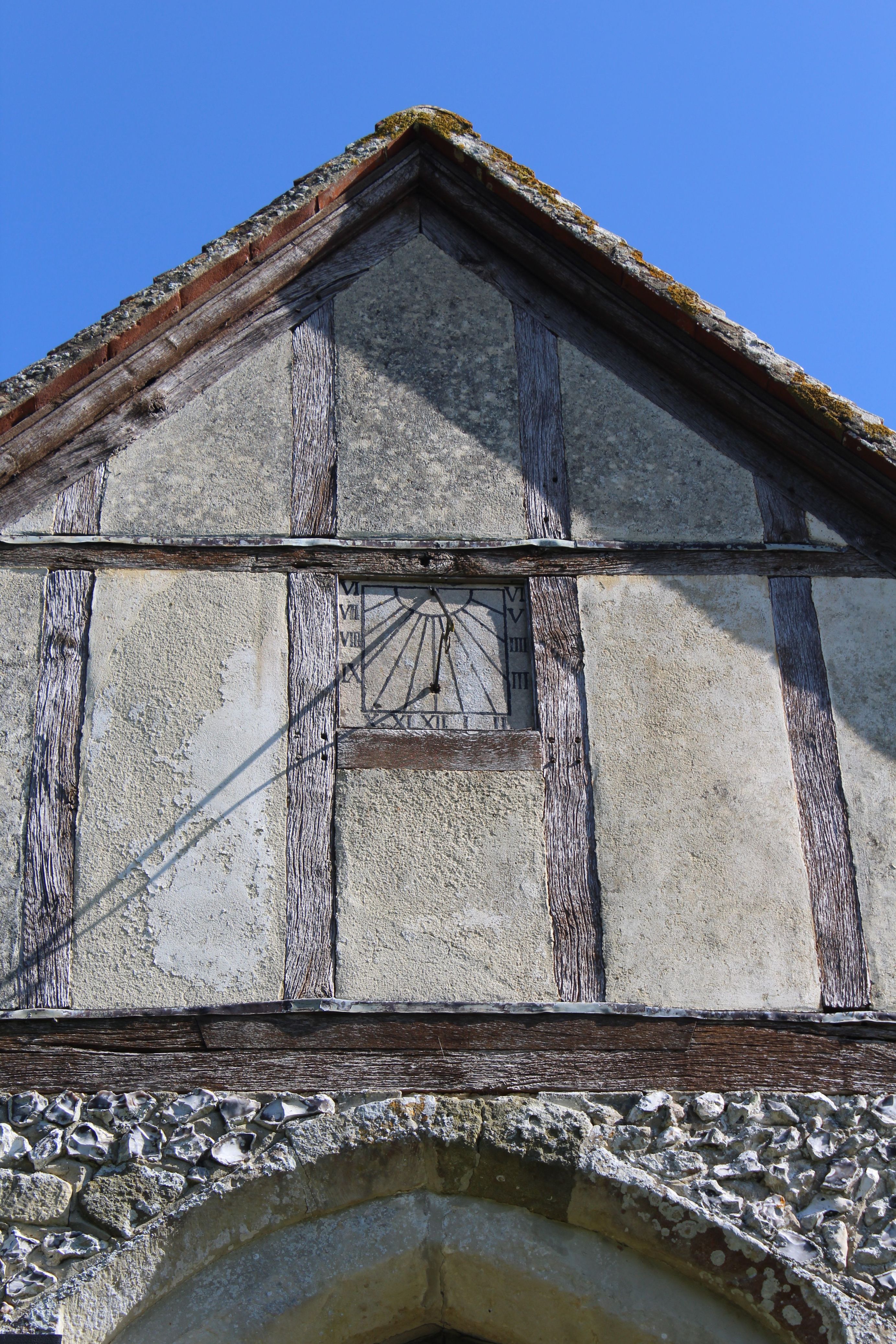
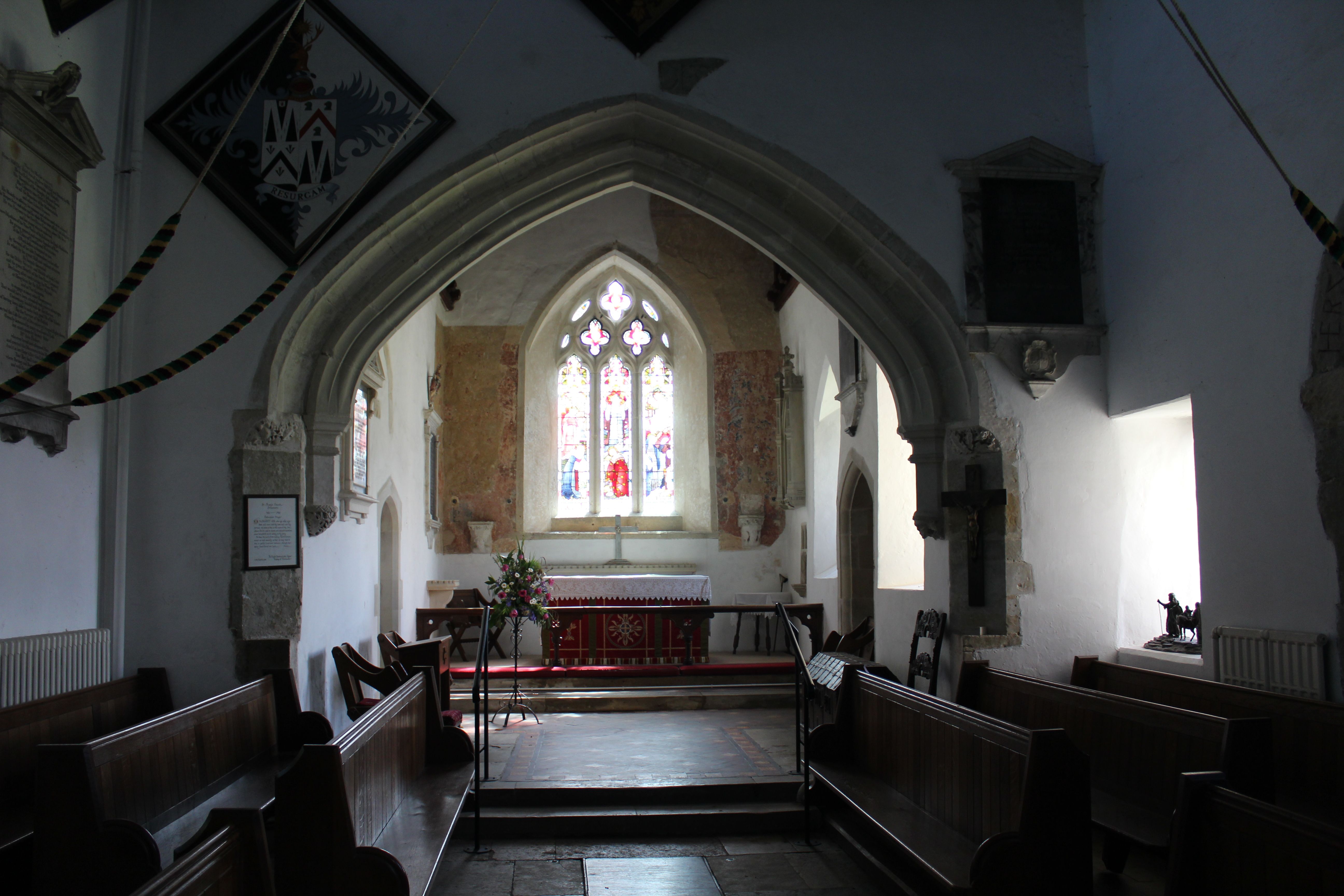
| Description | : | Breamore is a village and civil parish near Fordingbridge in Hampshire, England.The toponym is pronounced "Bremmer", not "Bree-moor" as might be supposed. The village is mainly situated along the A338 road between Fordingbridge and Downton, although the Saxon church and Breamore House are about three-quarters of a mile west of the road.Breamore church is a large and handsome structure and is of special interest, being a valuable and practically complete example of a Saxon building dating from late in the 10th century.It is near to Breamore House & Museum. |
frequently asked questions (FAQ):
-
Where is St. Mary's Churchyard?
St. Mary's Churchyard is located at Breamore, New Forest District ,Hampshire , SP6 2DFEngland.
-
St. Mary's Churchyard cemetery's updated grave count on graveviews.com?
0 memorials
-
Where are the coordinates of the St. Mary's Churchyard?
Latitude: 50.9687400
Longitude: -1.7834000
Nearby Cemetories:
1. St. Leonard's Churchyard
Whitsbury, New Forest District, England
Coordinate: 50.9713900, -1.8176000
2. St Mary Churchyard
Hale, New Forest District, England
Coordinate: 50.9670380, -1.7473110
3. Woodgreen Cemetery
Woodgreen, New Forest District, England
Coordinate: 50.9525032, -1.7574225
4. St. Andrew's Churchyard
Rockbourne, New Forest District, England
Coordinate: 50.9640400, -1.8369600
5. Fordingbridge Cemetery
Fordingbridge, New Forest District, England
Coordinate: 50.9253570, -1.7818480
6. Fordingbridge Methodist Church
Fordingbridge, New Forest District, England
Coordinate: 50.9251012, -1.7948375
7. St. Mary the Virgin Churchyard
Fordingbridge, New Forest District, England
Coordinate: 50.9236200, -1.7946300
8. St George Churchyard
Damerham, New Forest District, England
Coordinate: 50.9416320, -1.8483240
9. Church of St. Michael and All the Angels
Downton, Wiltshire Unitary Authority, England
Coordinate: 51.0106010, -1.7411390
10. Stuckton Congregational Chapelyard
New Forest District, England
Coordinate: 50.9182358, -1.7740048
11. Holy Ascension Churchyard
Hyde, New Forest District, England
Coordinate: 50.9115300, -1.7660300
12. Alderholt Chapelyard
Alderholt, North Dorset District, England
Coordinate: 50.9164000, -1.8259524
13. St. James' Churchyard
Alderholt, North Dorset District, England
Coordinate: 50.9127470, -1.8525560
14. All Saints Churchyard
Martin, New Forest District, England
Coordinate: 50.9753760, -1.9009220
15. St Mary's Churchyard
Alderbury, Wiltshire Unitary Authority, England
Coordinate: 51.0413780, -1.7413140
16. St. Michael and All Angels Cemetery
Coombe Bissett, Wiltshire Unitary Authority, England
Coordinate: 51.0361120, -1.8473230
17. All Saints Churchyard
Harbridge, New Forest District, England
Coordinate: 50.8905600, -1.7956500
18. St. Martin's Churchyard
Ibsley, New Forest District, England
Coordinate: 50.8835000, -1.7893100
19. St. Peter's Churchyard
Britford, Wiltshire Unitary Authority, England
Coordinate: 51.0551650, -1.7689880
20. St. John the Baptist Churchyard
Bishopstone (Salisbury), Wiltshire Unitary Authority, England
Coordinate: 51.0379160, -1.8812960
21. St Mary and All Saints Churchyard
Ellingham, New Forest District, England
Coordinate: 50.8742140, -1.7964340
22. Broad Chalke Congregational Chapelyard
Broad Chalke, Wiltshire Unitary Authority, England
Coordinate: 51.0523805, -1.7071162
23. Ss Mary & Bartholomew Churchyard
Cranborne, East Dorset District, England
Coordinate: 50.9187790, -1.9237020
24. St. Peter's Churchyard
Bramshaw, New Forest District, England
Coordinate: 50.9485800, -1.6245700