| Memorials | : | 0 |
| Location | : | Boxford, West Berkshire Unitary Authority, England |
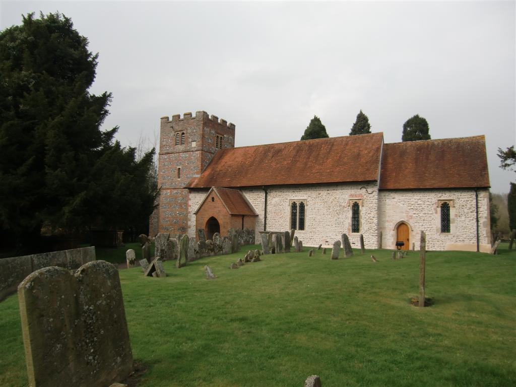
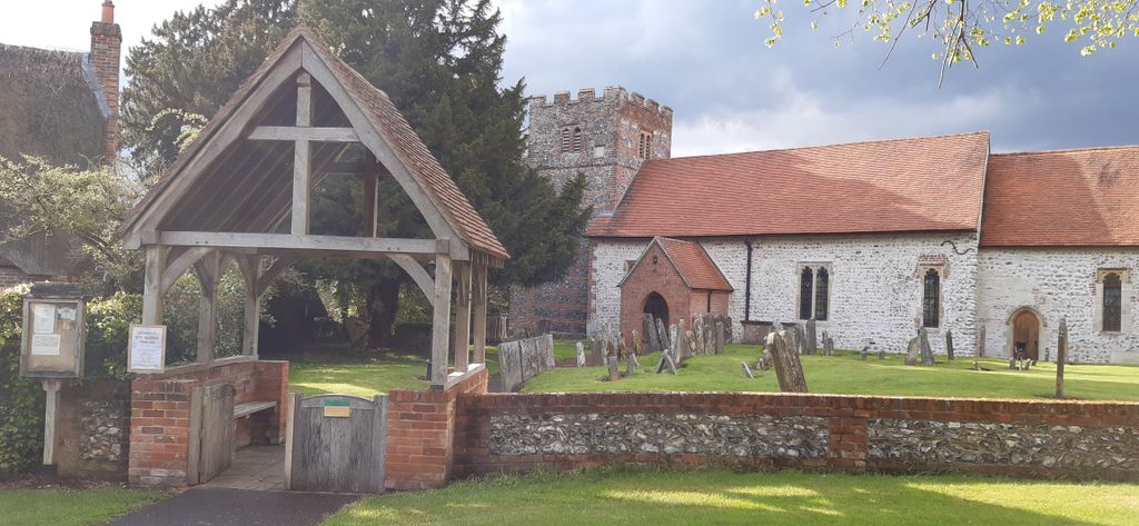
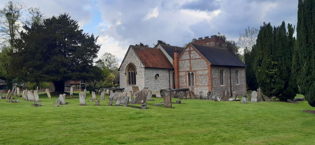
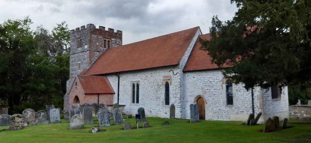
| Description | : | Boxford St Andrew is a 15th Century church that lies on the east side of the River Lambourn along Winterbourne Road. The village is approximately 4-miles north west of the town of Newbury. |
frequently asked questions (FAQ):
-
Where is St Andrew Churchyard?
St Andrew Churchyard is located at No GPS information available Add GPSWinterbourne Rd Boxford, West Berkshire Unitary Authority ,Berkshire , RG20 8DPEngland.
-
St Andrew Churchyard cemetery's updated grave count on graveviews.com?
0 memorials
Nearby Cemetories:
1. St. Mary the Virgin Churchyard
Aldworth, West Berkshire Unitary Authority, England
Coordinate: 51.4367420, -1.0825640
2. St. Andrew's Churchyard
Bradfield, West Berkshire Unitary Authority, England
Coordinate: 51.5393520, -1.3187210
3. Poughley Priory
Chaddleworth, West Berkshire Unitary Authority, England
4. St Andrew's Churchyard
Chaddleworth, West Berkshire Unitary Authority, England
Coordinate: 51.4163030, -1.2162090
5. Isley Baptist Churchyard
East Ilsley, West Berkshire Unitary Authority, England
Coordinate: 51.4442400, -1.2400690
6. St Marys Churchyard
East Ilsley, West Berkshire Unitary Authority, England
Coordinate: 51.4341310, -1.2059030
7. Foxfield Churchyard
Hungerford, West Berkshire Unitary Authority, England
8. Saint Lawrence Churchyard
Hungerford, West Berkshire Unitary Authority, England
9. St Saviour Churchyard
Hungerford, West Berkshire Unitary Authority, England
10. St Bartholomew Churchyard
Lower Basildon, West Berkshire Unitary Authority, England
11. St. Luke's Churchyard
West Berkshire Unitary Authority, England
12. St. John's Churchyard
Stockcross, West Berkshire Unitary Authority, England
Coordinate: 51.4007840, -1.4505240
13. Holy Trinity Churchyard
Theale, West Berkshire Unitary Authority, England
Coordinate: 51.4367420, -1.0825640
14. All Saints Churchyard
West Ilsley, West Berkshire Unitary Authority, England
Coordinate: 51.5393520, -1.3187210
15. St. Clement's Churchyard
Ashampstead, West Berkshire Unitary Authority, England
16. Bucklebury Churchyard
Bucklebury, West Berkshire Unitary Authority, England
Coordinate: 51.4163030, -1.2162090
17. Marlston Chapel
Bucklebury, West Berkshire Unitary Authority, England
Coordinate: 51.4442400, -1.2400690
18. St Mary the Virgin Churchyard
Bucklebury, West Berkshire Unitary Authority, England
Coordinate: 51.4341310, -1.2059030
19. St Mark Churchyard
Cold Ash, West Berkshire Unitary Authority, England
20. All Saints Churchyard
East Garston, West Berkshire Unitary Authority, England
21. St Marys New Churchyard
Hampstead Norreys, West Berkshire Unitary Authority, England
22. St. Mary the Virgin Old Churchyard
Hampstead Norreys, West Berkshire Unitary Authority, England
23. Christ Church Churchyard
Kintbury, West Berkshire Unitary Authority, England
24. St. Mary the Virgin Churchyard
Kintbury, West Berkshire Unitary Authority, England
Coordinate: 51.4007840, -1.4505240


