
| Memorials | : | 3 |
| Location | : | Arthingworth, Daventry District, England |
| Coordinate | : | 52.4255400, -0.8914700 |
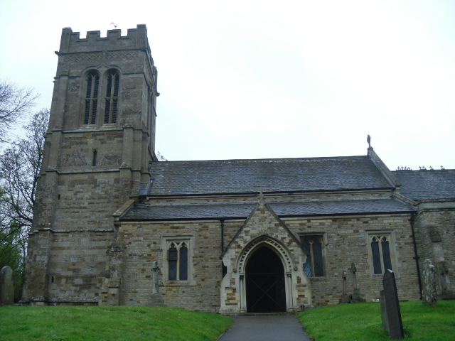
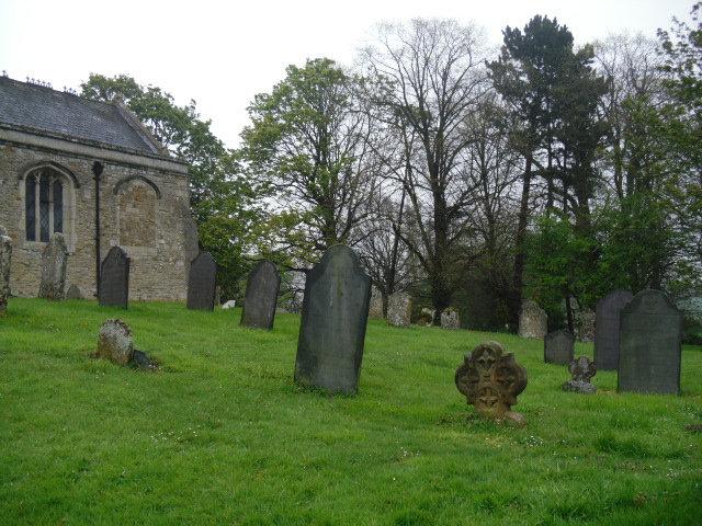
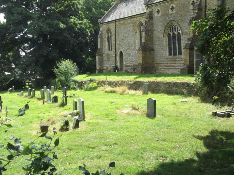
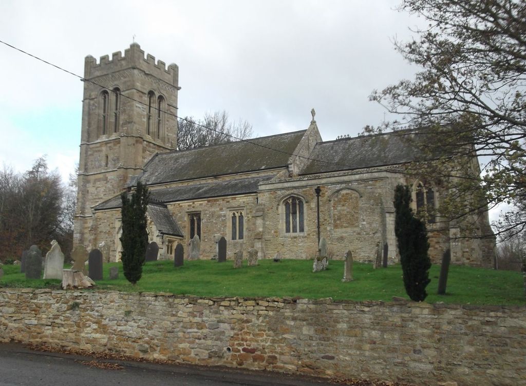
| Description | : | No-one knows precisely how old the village church is - but it seems certain that part of the present building was standing here In the 12th century. The south chapel and aisle were probably added in the 13th and 14th centuries. The tower is of the 15th century. The whole church was extensively renovated In Victorian times. The roof of the chancel is a particularly good example of a Victorian reproduction of medieval work, although owing to lack of sufficient funds at the time it was never painted as the architect had envisaged. |
frequently asked questions (FAQ):
-
Where is St Andrew Churchyard?
St Andrew Churchyard is located at Arthingworth, Daventry District ,Northamptonshire ,England.
-
St Andrew Churchyard cemetery's updated grave count on graveviews.com?
3 memorials
-
Where are the coordinates of the St Andrew Churchyard?
Latitude: 52.4255400
Longitude: -0.8914700
Nearby Cemetories:
1. St. Deny's Churchyard
Kelmarsh, Daventry District, England
Coordinate: 52.4060590, -0.9207120
2. Saint Helen's Churchyard
Great Oxendon, Daventry District, England
Coordinate: 52.4484500, -0.9191000
3. All Saints Churchyard
Braybrooke, Kettering Borough, England
Coordinate: 52.4538160, -0.8764390
4. All Saints Churchyard
Clipston, Daventry District, England
Coordinate: 52.4273400, -0.9517300
5. Saint Mary the Virgin
Maidwell, Daventry District, England
Coordinate: 52.3854950, -0.9007770
6. Baptist Graveyard
Clipston, Daventry District, England
Coordinate: 52.4296989, -0.9582000
7. Saint Catherine
Draughton, Daventry District, England
Coordinate: 52.3840770, -0.8821840
8. Market Harborough Cemetery
Market Harborough, Harborough District, England
Coordinate: 52.4684000, -0.9132760
9. St Giles Churchyard
Desborough, Kettering Borough, England
Coordinate: 52.4398300, -0.8202300
10. Saint John the Baptist Churchyard
East Farndon, Daventry District, England
Coordinate: 52.4562100, -0.9472400
11. All Saints Churchyard
Orton, Kettering Borough, England
Coordinate: 52.4068200, -0.8171200
12. St. Nicholas Churchyard
Little Bowden, Harborough District, England
Coordinate: 52.4754180, -0.9114670
13. Saint Michael's Churchyard
Haselbech, Daventry District, England
Coordinate: 52.3891890, -0.9556720
14. Desborough Cemetery
Desborough, Kettering Borough, England
Coordinate: 52.4412100, -0.8032800
15. St Dionysius Parish Church
Market Harborough, Harborough District, England
Coordinate: 52.4785850, -0.9213720
16. St. Mary in Arden Churchyard
Market Harborough, Harborough District, England
Coordinate: 52.4804240, -0.9110140
17. Rothwell Cemetery
Rothwell, Kettering Borough, England
Coordinate: 52.4165400, -0.8000300
18. All Saints Churchyard
Dingley, Kettering Borough, England
Coordinate: 52.4817700, -0.8682200
19. Saint Leonard's Churchyard
Loddington, Kettering Borough, England
Coordinate: 52.3971985, -0.8041003
20. All Saints Churchyard
Lamport, Daventry District, England
Coordinate: 52.3637900, -0.8883600
21. St. Mary's Churchyard
Brampton Ash, Kettering Borough, England
Coordinate: 52.4796000, -0.8402000
22. St Mary the Virgin Churchyard
Brampton, Kettering Borough, England
Coordinate: 52.4797580, -0.8400370
23. All Saints Churchyard
Naseby, Daventry District, England
Coordinate: 52.3968790, -0.9889740
24. Great Bowden Cemetery
Great Bowden, Harborough District, England
Coordinate: 52.4916800, -0.8995200