
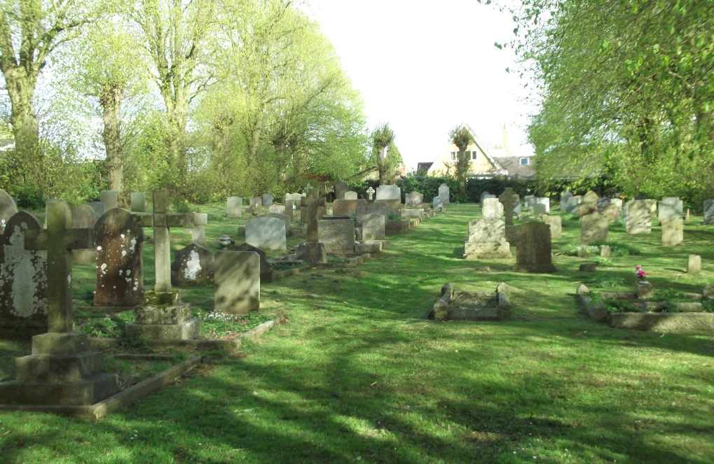
| Memorials | : | 429 |
| Location | : | Naseby, Daventry District, England |
| Coordinate | : | 52.3968790, -0.9889740 |
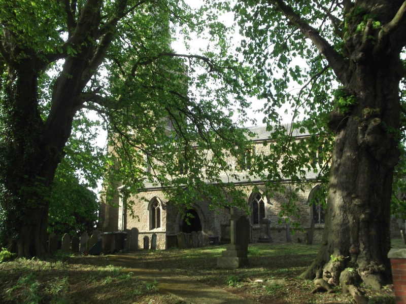
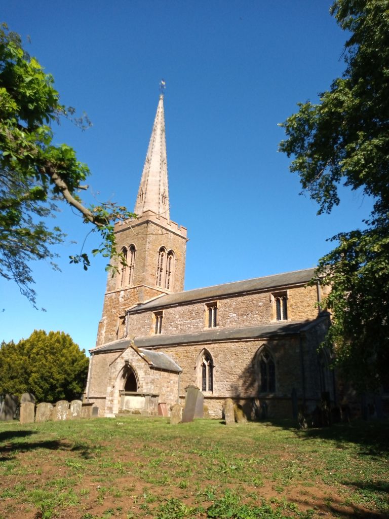
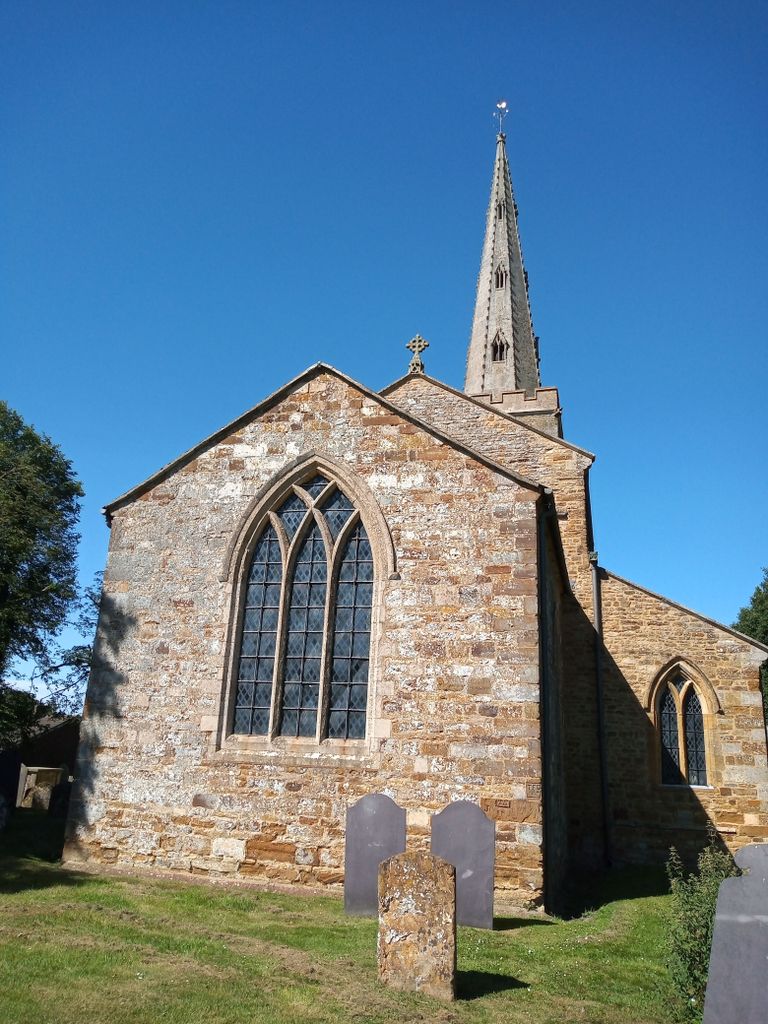
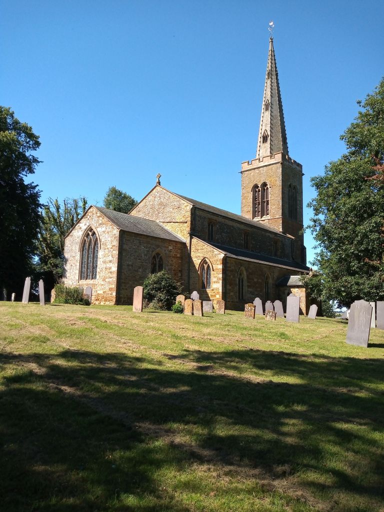
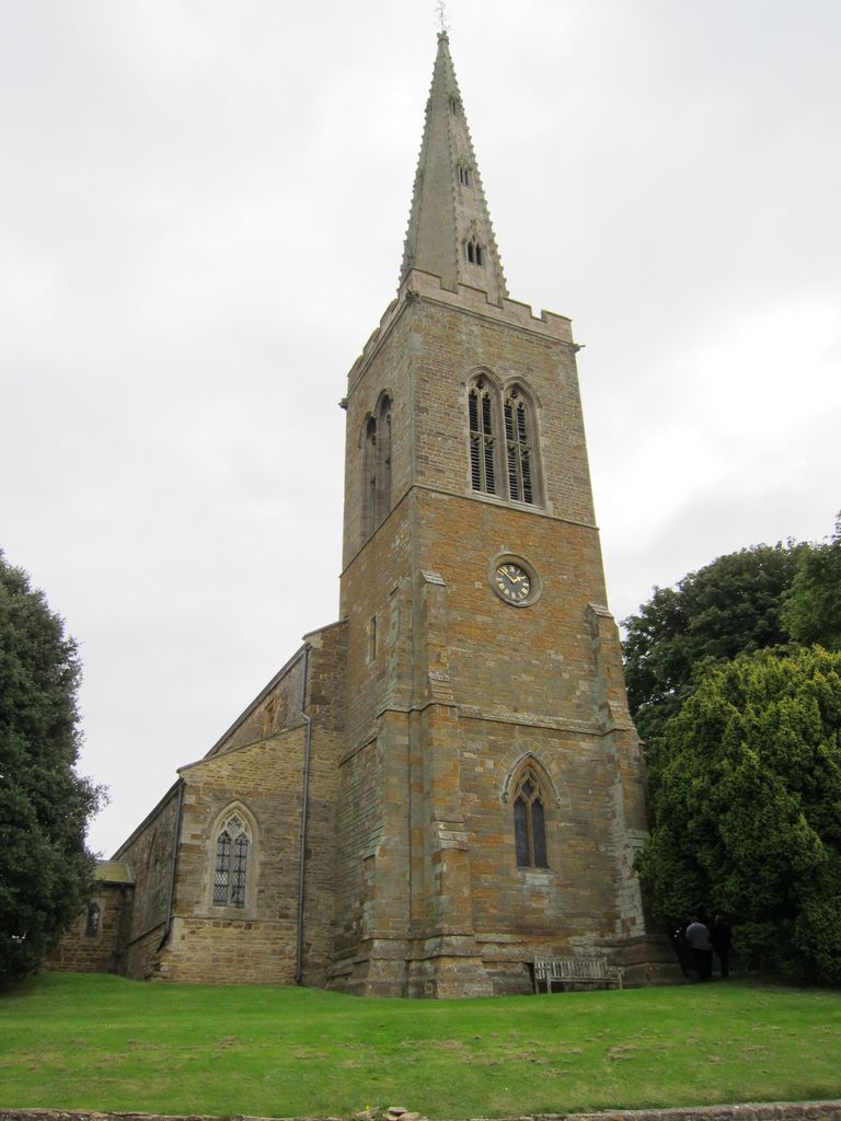
| Description | : | Naseby is a small village with a population of around 500 people, and is located in Northamptonshire, about 7 miles from Market Harborough. The village is best known for its links with the English Civil War and the battle of Naseby, which took place on June 14th, 1654. All Saints Church dates from the early 13th century, though there is thought to have been a Christian settlement in Naseby from 620. The church spire was built in 1860. The church has a ground floor ring of 5 bells. [Text by Lancashire Lass] |
frequently asked questions (FAQ):
-
Where is All Saints Churchyard?
All Saints Churchyard is located at Church Street Naseby, Daventry District ,Northamptonshire , NN6 6DAEngland.
-
All Saints Churchyard cemetery's updated grave count on graveviews.com?
429 memorials
-
Where are the coordinates of the All Saints Churchyard?
Latitude: 52.3968790
Longitude: -0.9889740
Nearby Cemetories:
1. Saint Michael's Churchyard
Haselbech, Daventry District, England
Coordinate: 52.3891890, -0.9556720
2. St. Denys' Churchyard
Cold Ashby, Daventry District, England
Coordinate: 52.3806000, -1.0372700
3. Baptist Graveyard
Clipston, Daventry District, England
Coordinate: 52.4296989, -0.9582000
4. All Saints Churchyard
Clipston, Daventry District, England
Coordinate: 52.4273400, -0.9517300
5. St. Helen's Churchyard
Sibbertoft, Daventry District, England
Coordinate: 52.4386400, -0.9989200
6. St. Deny's Churchyard
Kelmarsh, Daventry District, England
Coordinate: 52.4060590, -0.9207120
7. All Saints Churchyard
Cottesbrooke, Daventry District, England
Coordinate: 52.3552260, -0.9588300
8. St Mary the Virgin Churchyard
Welford, Daventry District, England
Coordinate: 52.4172618, -1.0587465
9. St. Mary's Churchyard Extension
Welford, Daventry District, England
Coordinate: 52.4173836, -1.0595687
10. St Etheldreda Churchyard
Guilsborough, Daventry District, England
Coordinate: 52.3480310, -1.0089780
11. Saint Mary the Virgin
Maidwell, Daventry District, England
Coordinate: 52.3854950, -0.9007770
12. St James Churchyard
Hollowell, Daventry District, England
Coordinate: 52.3404638, -0.9912752
13. Saint John the Baptist Churchyard
East Farndon, Daventry District, England
Coordinate: 52.4562100, -0.9472400
14. St Andrew Churchyard
Arthingworth, Daventry District, England
Coordinate: 52.4255400, -0.8914700
15. Saint Catherine
Draughton, Daventry District, England
Coordinate: 52.3840770, -0.8821840
16. Husbands Bosworth Cemetery
Husbands Bosworth, Harborough District, England
Coordinate: 52.4481064, -1.0583018
17. Saint Helen's Churchyard
Great Oxendon, Daventry District, England
Coordinate: 52.4484500, -0.9191000
18. St. Michael and All Angels Churchyard
Winwick, Daventry District, England
Coordinate: 52.3589063, -1.0820887
19. All Saints Churchyard
Husbands Bosworth, Harborough District, England
Coordinate: 52.4536880, -1.0529010
20. All Saints Churchyard
Lamport, Daventry District, England
Coordinate: 52.3637900, -0.8883600
21. St. Nicholas' Churchyard
Marston Trussell, Daventry District, England
Coordinate: 52.4669200, -0.9804650
22. All Saints Churchyard
Theddingworth, Harborough District, England
Coordinate: 52.4655020, -1.0185520
23. St Denys' Church
Northampton Borough, England
Coordinate: 52.3271318, -1.0182438
24. St Andrew Churchyard
Spratton, Daventry District, England
Coordinate: 52.3243520, -0.9483460