
| Memorials | : | 7 |
| Location | : | Kelmarsh, Daventry District, England |
| Coordinate | : | 52.4060590, -0.9207120 |
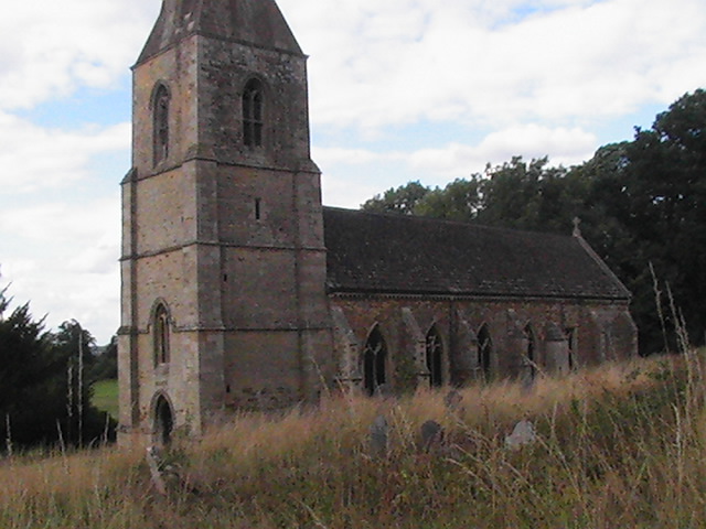
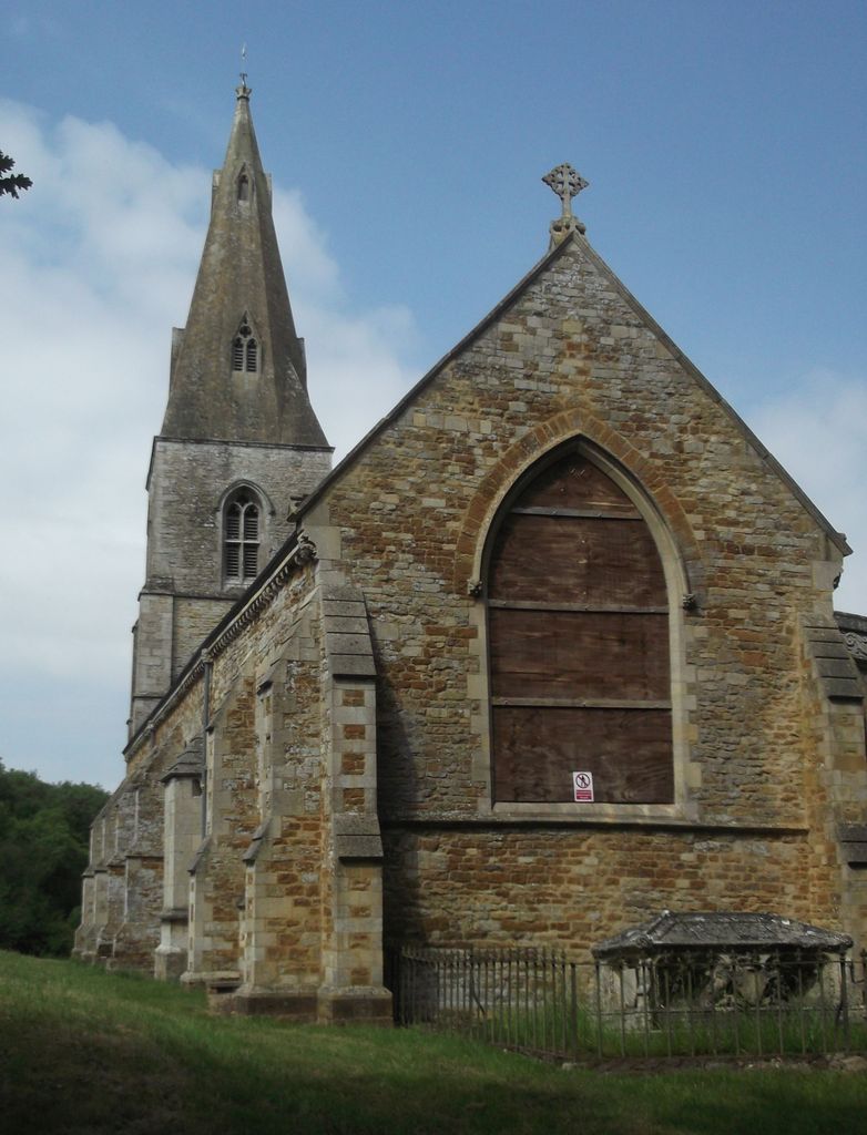
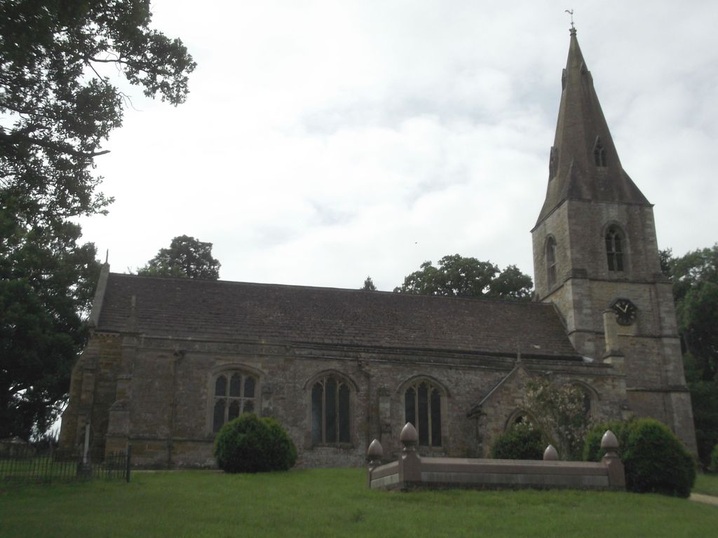
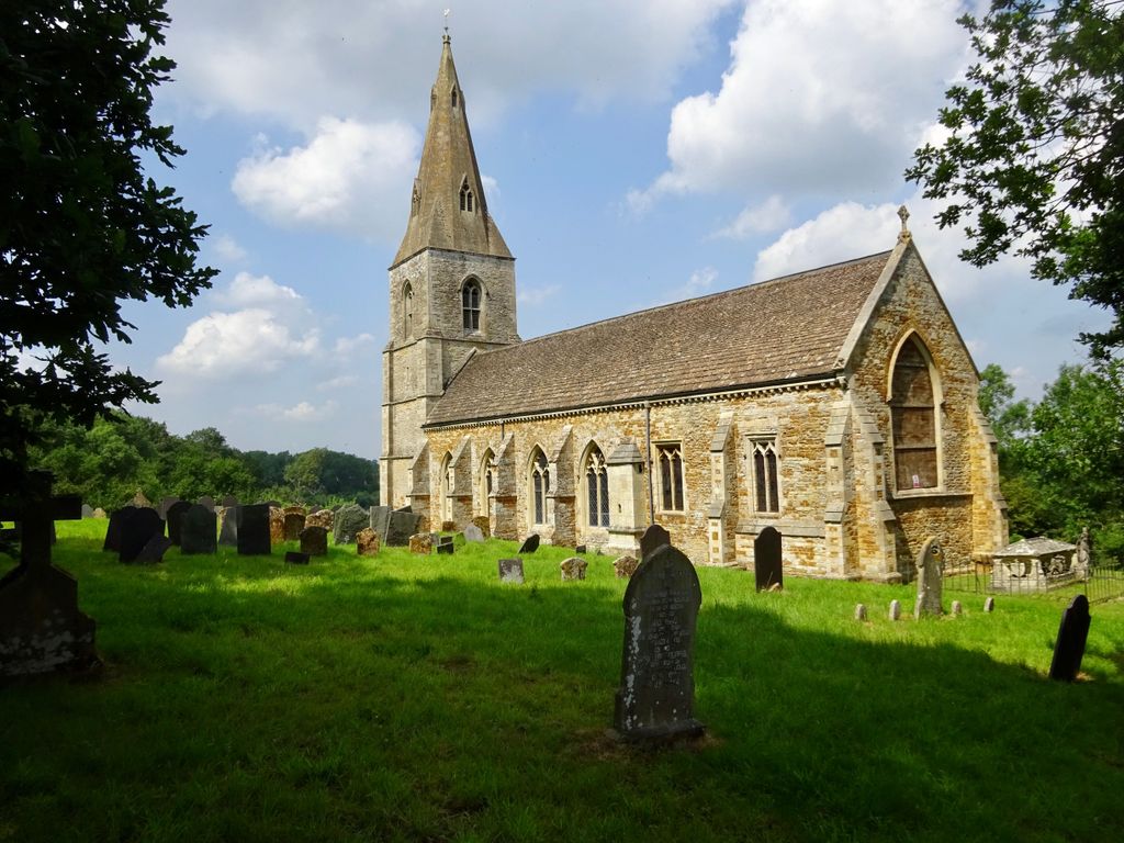
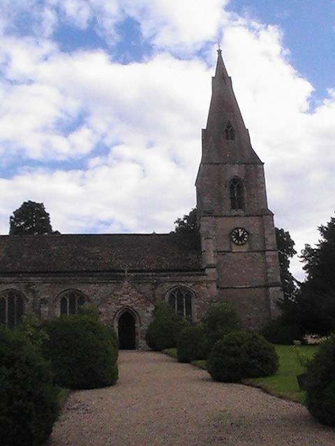
| Description | : | Kelmarsh is a village and civil parish in the Daventry district of Northamptonshire in England. Kelmarsh Hall is its principal building. The former railway tunnel at Kelmarsh is now open as part of the Brampton Valley Way. The village is on the A508, close to its junction with the A14. Added by wertypop |
frequently asked questions (FAQ):
-
Where is St. Deny's Churchyard?
St. Deny's Churchyard is located at Kelmarsh, Daventry District ,Northamptonshire ,England.
-
St. Deny's Churchyard cemetery's updated grave count on graveviews.com?
7 memorials
-
Where are the coordinates of the St. Deny's Churchyard?
Latitude: 52.4060590
Longitude: -0.9207120
Nearby Cemetories:
1. Saint Mary the Virgin
Maidwell, Daventry District, England
Coordinate: 52.3854950, -0.9007770
2. St Andrew Churchyard
Arthingworth, Daventry District, England
Coordinate: 52.4255400, -0.8914700
3. Saint Michael's Churchyard
Haselbech, Daventry District, England
Coordinate: 52.3891890, -0.9556720
4. All Saints Churchyard
Clipston, Daventry District, England
Coordinate: 52.4273400, -0.9517300
5. Saint Catherine
Draughton, Daventry District, England
Coordinate: 52.3840770, -0.8821840
6. Baptist Graveyard
Clipston, Daventry District, England
Coordinate: 52.4296989, -0.9582000
7. Saint Helen's Churchyard
Great Oxendon, Daventry District, England
Coordinate: 52.4484500, -0.9191000
8. All Saints Churchyard
Naseby, Daventry District, England
Coordinate: 52.3968790, -0.9889740
9. All Saints Churchyard
Lamport, Daventry District, England
Coordinate: 52.3637900, -0.8883600
10. Saint John the Baptist Churchyard
East Farndon, Daventry District, England
Coordinate: 52.4562100, -0.9472400
11. All Saints Churchyard
Braybrooke, Kettering Borough, England
Coordinate: 52.4538160, -0.8764390
12. All Saints Churchyard
Cottesbrooke, Daventry District, England
Coordinate: 52.3552260, -0.9588300
13. St. Helen's Churchyard
Sibbertoft, Daventry District, England
Coordinate: 52.4386400, -0.9989200
14. Market Harborough Cemetery
Market Harborough, Harborough District, England
Coordinate: 52.4684000, -0.9132760
15. All Saints Churchyard
Orton, Kettering Borough, England
Coordinate: 52.4068200, -0.8171200
16. St Peter and St Paul Churchyard
Scaldwell, Daventry District, England
Coordinate: 52.3459100, -0.8732100
17. Independent Chapel Burial Yard
Old, Daventry District, England
Coordinate: 52.3514947, -0.8506201
18. St. Nicholas Churchyard
Little Bowden, Harborough District, England
Coordinate: 52.4754180, -0.9114670
19. St Giles Churchyard
Desborough, Kettering Borough, England
Coordinate: 52.4398300, -0.8202300
20. St. Nicholas' Churchyard
Marston Trussell, Daventry District, England
Coordinate: 52.4669200, -0.9804650
21. Saint Andrew Churchyard
Old, Daventry District, England
Coordinate: 52.3503600, -0.8484200
22. Saint Leonard's Churchyard
Loddington, Kettering Borough, England
Coordinate: 52.3971985, -0.8041003
23. St Dionysius Parish Church
Market Harborough, Harborough District, England
Coordinate: 52.4785850, -0.9213720
24. Rothwell Cemetery
Rothwell, Kettering Borough, England
Coordinate: 52.4165400, -0.8000300