
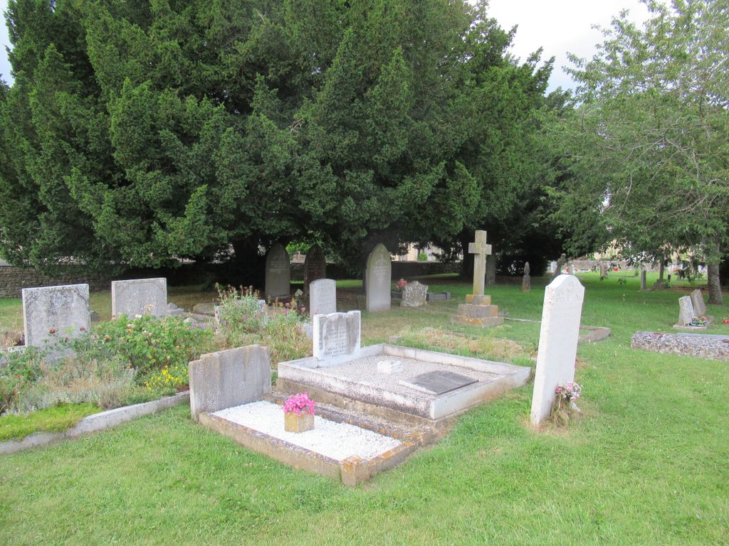
| Memorials | : | 29 |
| Location | : | Ducklington, West Oxfordshire District, England |
| Phone | : | 01993 776625 |
| Coordinate | : | 51.7658689, -1.4810340 |
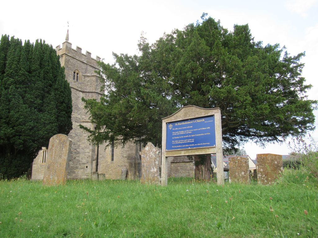
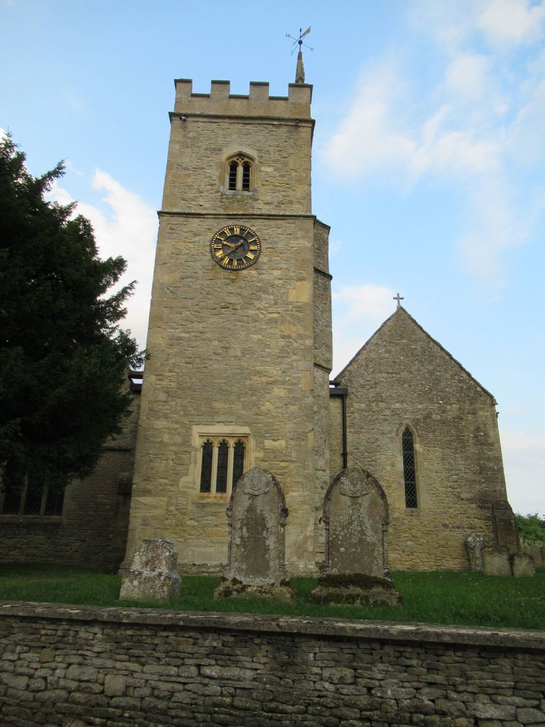
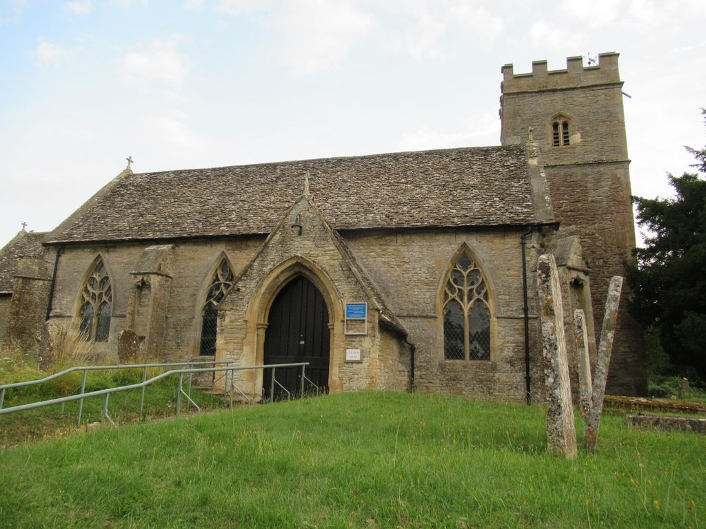
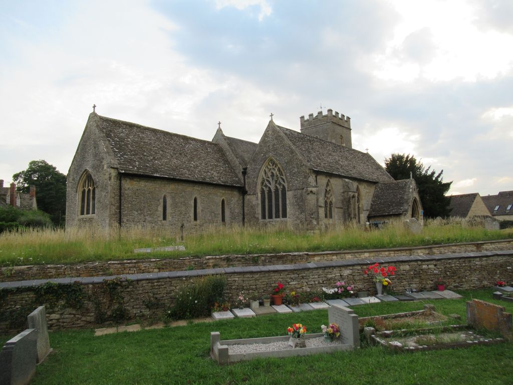
| Description | : | St Bartholomew's Church dates from the 11th century with the north aisle the most interesting architectural feature of the church. In front of the font is the original Tudor period alms chest. The tower is late 15th century and houses a clock which is 300 years old but still works efficiently. E. G. Bruton Gothic Revival architect, restored the building in 1871. The bell tower has a ring of six bells. William and Henry III Bagley of Chacombe in Northamptonshire cast the second, fourth and fifth bells in 1708. 1889 the treble bell was cast Mears and Stainbank of the... Read More |
frequently asked questions (FAQ):
-
Where is St. Bartholomew Churchyard?
St. Bartholomew Churchyard is located at Church Street Ducklington, West Oxfordshire District ,Oxfordshire , OX29 7UGEngland.
-
St. Bartholomew Churchyard cemetery's updated grave count on graveviews.com?
29 memorials
-
Where are the coordinates of the St. Bartholomew Churchyard?
Latitude: 51.7658689
Longitude: -1.4810340
Nearby Cemetories:
1. St. Mary's Churchyard
Witney, West Oxfordshire District, England
Coordinate: 51.7807116, -1.4850508
2. St Mary Churchyard
Cogges, West Oxfordshire District, England
Coordinate: 51.7839280, -1.4782010
3. Tower Hill Cemetery
Witney, West Oxfordshire District, England
Coordinate: 51.7852950, -1.4999610
4. Woodgreen (Holy Trinity) Churchyard
West Oxfordshire District, England
Coordinate: 51.7918400, -1.4793500
5. St John The Baptist
Curbridge, West Oxfordshire District, England
Coordinate: 51.7764570, -1.5203140
6. St. James the Great Churchyard
South Leigh, West Oxfordshire District, England
Coordinate: 51.7781050, -1.4298950
7. Cote Baptist Chapel
Cote, West Oxfordshire District, England
Coordinate: 51.7254430, -1.4929510
8. St. James the Great Churchyard
Aston, West Oxfordshire District, England
Coordinate: 51.7252620, -1.5059510
9. St Peter's Churchyard
Crawley, West Oxfordshire District, England
Coordinate: 51.8069700, -1.5100400
10. St John the Evangelist
Hailey, West Oxfordshire District, England
Coordinate: 51.8107740, -1.4879260
11. Saint Kenelm's Churchyard
Minster Lovell, West Oxfordshire District, England
Coordinate: 51.8000620, -1.5314550
12. St. Giles' Churchyard
Standlake, West Oxfordshire District, England
Coordinate: 51.7299550, -1.4262300
13. St Marys Churchyard
Shifford, West Oxfordshire District, England
Coordinate: 51.7151440, -1.4631340
14. St. Britius Churchyard Extension
Brize Norton, West Oxfordshire District, England
Coordinate: 51.7660800, -1.5662600
15. St. Britius Churchyard
Brize Norton, West Oxfordshire District, England
Coordinate: 51.7662000, -1.5667000
16. St Michael's Churchyard
Stanton Harcourt, West Oxfordshire District, England
Coordinate: 51.7480000, -1.3977000
17. Bampton Cemetery
Bampton, West Oxfordshire District, England
Coordinate: 51.7296400, -1.5490200
18. St. Mary the Virgin Churchyard
Bampton, West Oxfordshire District, England
Coordinate: 51.7278250, -1.5487270
19. St Mary Churchyard
North Leigh, West Oxfordshire District, England
Coordinate: 51.8201820, -1.4396170
20. Eynsham Abbey
Eynsham, West Oxfordshire District, England
Coordinate: 51.7786110, -1.3738890
21. St Mary the Virgin Churchyard
Freeland, West Oxfordshire District, England
Coordinate: 51.8116300, -1.4004700
22. St Leonard Churchyard
Eynsham, West Oxfordshire District, England
Coordinate: 51.7799470, -1.3738080
23. Eynsham War Memorial
Eynsham, West Oxfordshire District, England
Coordinate: 51.7801562, -1.3736687
24. St James's Church
Ramsden, West Oxfordshire District, England
Coordinate: 51.8340622, -1.4841064