| Memorials | : | 5 |
| Location | : | Stanton Harcourt, West Oxfordshire District, England |
| Coordinate | : | 51.7480000, -1.3977000 |
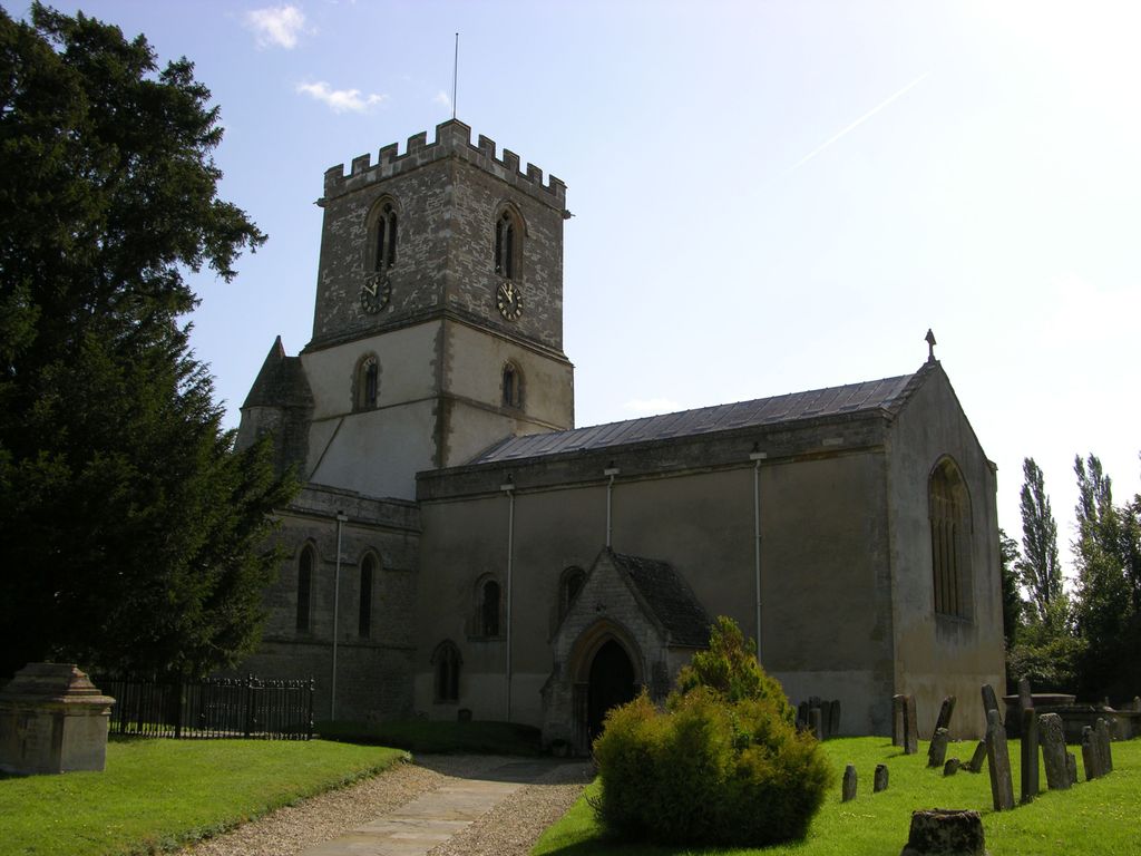
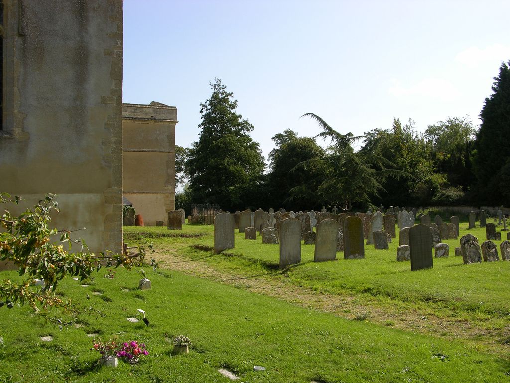
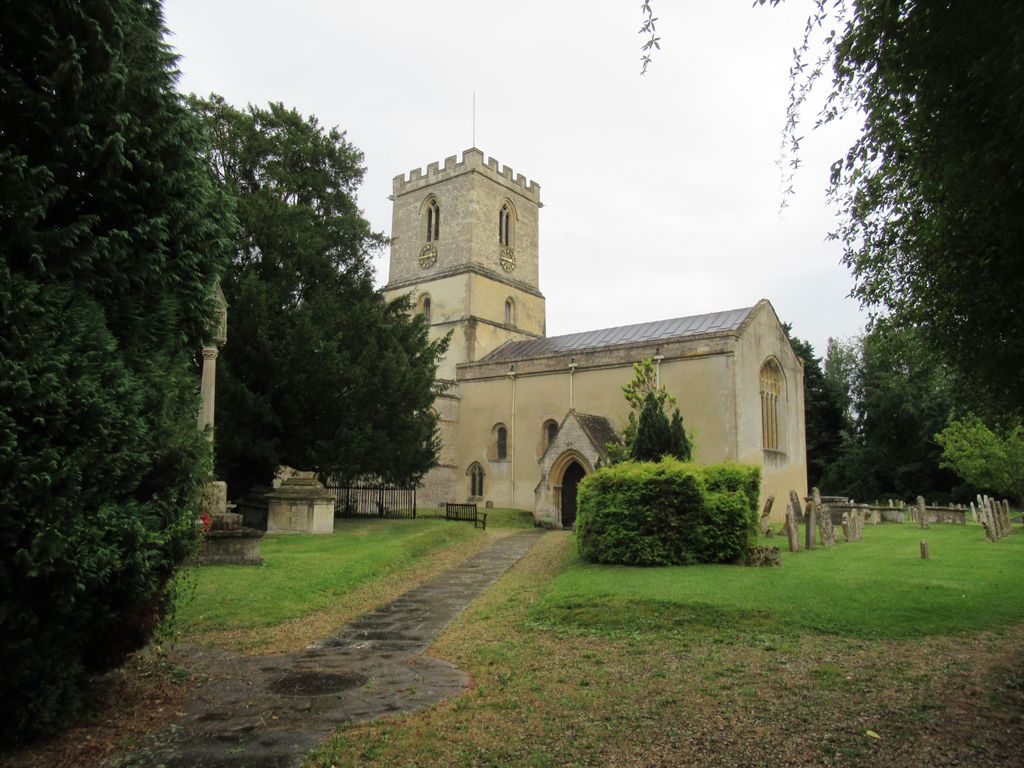
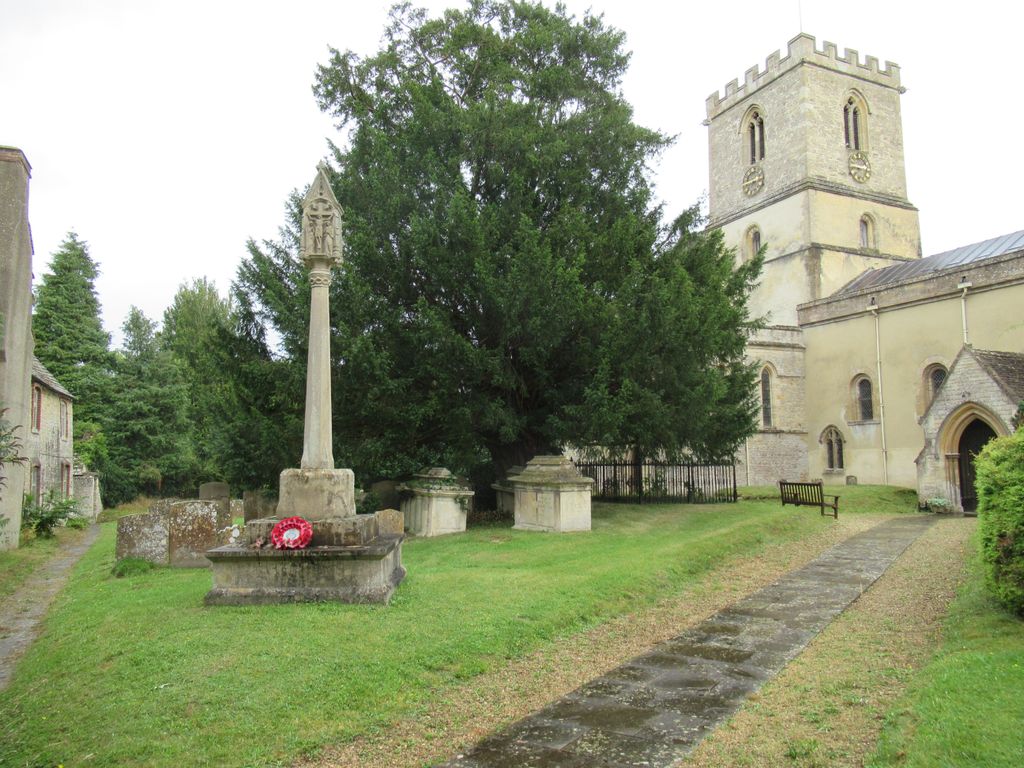
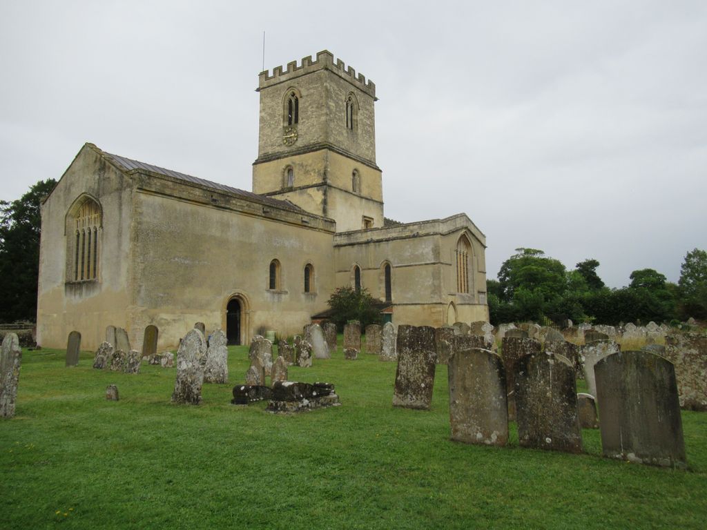
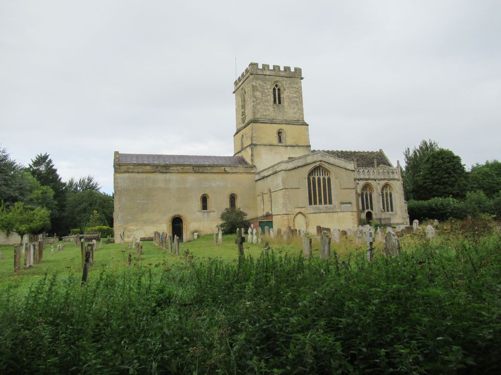
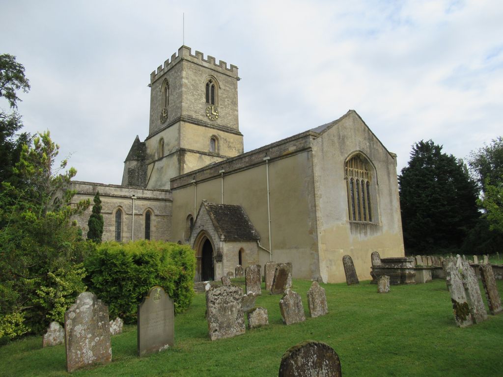
| Description | : | The earliest known record of the Church of England parish church of Saint Michael dates from 1135, and the Norman nave and lower parts of the bell tower are certainly 12th century. In the 13th century the chancel, chancel arch and tower arches were rebuilt and the transepts and stair turret were added. In the 15th century the upper part of the bell tower was completed, the Perpendicular Gothic west window of the nave and north and south windows of the transepts were inserted and the pitch of the roof was lowered. The Harcourt chapel was added on the south side... Read More |
frequently asked questions (FAQ):
-
Where is St Michael's Churchyard?
St Michael's Churchyard is located at Steady's Lane Stanton Harcourt, West Oxfordshire District ,Oxfordshire , OX29 5RJEngland.
-
St Michael's Churchyard cemetery's updated grave count on graveviews.com?
5 memorials
-
Where are the coordinates of the St Michael's Churchyard?
Latitude: 51.7480000
Longitude: -1.3977000
Nearby Cemetories:
1. St. Giles' Churchyard
Standlake, West Oxfordshire District, England
Coordinate: 51.7299550, -1.4262300
2. St. Denys' Churchyard
Northmoor, West Oxfordshire District, England
Coordinate: 51.7230000, -1.3918000
3. Eynsham Abbey
Eynsham, West Oxfordshire District, England
Coordinate: 51.7786110, -1.3738890
4. St Leonard Churchyard
Eynsham, West Oxfordshire District, England
Coordinate: 51.7799470, -1.3738080
5. Eynsham War Memorial
Eynsham, West Oxfordshire District, England
Coordinate: 51.7801562, -1.3736687
6. St. James the Great Churchyard
South Leigh, West Oxfordshire District, England
Coordinate: 51.7781050, -1.4298950
7. St Michael Churchyard
Cumnor, Vale of White Horse District, England
Coordinate: 51.7340384, -1.3331002
8. St Laurence Church
Appleton, Vale of White Horse District, England
Coordinate: 51.7110290, -1.3588780
9. St Marys Churchyard
Shifford, West Oxfordshire District, England
Coordinate: 51.7151440, -1.4631340
10. Saint Lawrence Churchyard
Bessels Leigh, Vale of White Horse District, England
Coordinate: 51.7065220, -1.3409750
11. St. Bartholomew Churchyard
Ducklington, West Oxfordshire District, England
Coordinate: 51.7658689, -1.4810340
12. St Peter's Churchyard
Cassington, West Oxfordshire District, England
Coordinate: 51.7923610, -1.3423160
13. Wytham Churchyard
Wytham, Vale of White Horse District, England
Coordinate: 51.7736230, -1.3131610
14. St. Lawrence Churchyard
Tubney, Vale of White Horse District, England
Coordinate: 51.6903100, -1.3712600
15. St Nicholas Churchyard
Fyfield, Vale of White Horse District, England
Coordinate: 51.6871100, -1.3888600
16. St Mary Churchyard
Cogges, West Oxfordshire District, England
Coordinate: 51.7839280, -1.4782010
17. Saint Mary Churchyard
Longworth, Vale of White Horse District, England
Coordinate: 51.6926577, -1.4457428
18. Cote Baptist Chapel
Cote, West Oxfordshire District, England
Coordinate: 51.7254430, -1.4929510
19. St. Mary's Churchyard
Witney, West Oxfordshire District, England
Coordinate: 51.7807116, -1.4850508
20. St Mary the Virgin Churchyard
Freeland, West Oxfordshire District, England
Coordinate: 51.8116300, -1.4004700
21. Botley Cemetery
Botley, Vale of White Horse District, England
Coordinate: 51.7518050, -1.2930000
22. Ss. Peter & Paul Churchyard
Church Hanborough, West Oxfordshire District, England
Coordinate: 51.8125750, -1.3838000
23. Saint Margaret of Antioch
City of Oxford, England
Coordinate: 51.7690340, -1.2975900
24. St. Helen Churchyard
Dry Sandford, Vale of White Horse District, England
Coordinate: 51.7003000, -1.3247100

