
| Memorials | : | 0 |
| Location | : | Farnborough, Stratford-on-Avon District, England |
| Coordinate | : | 52.1427340, -1.3675320 |
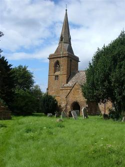
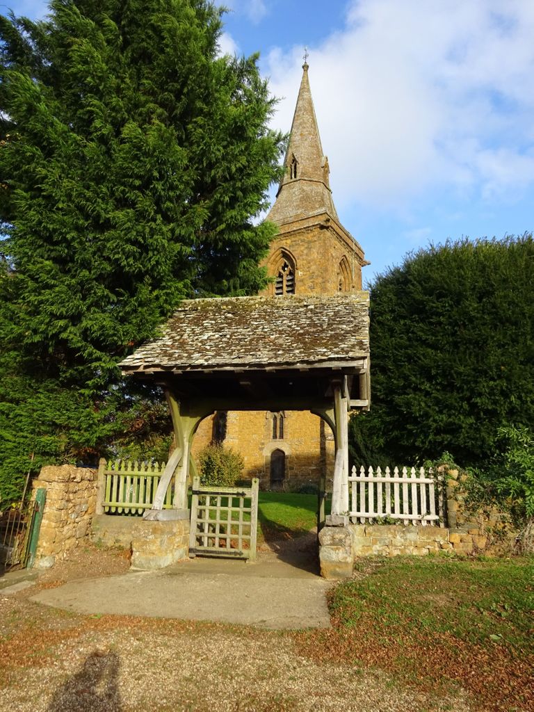
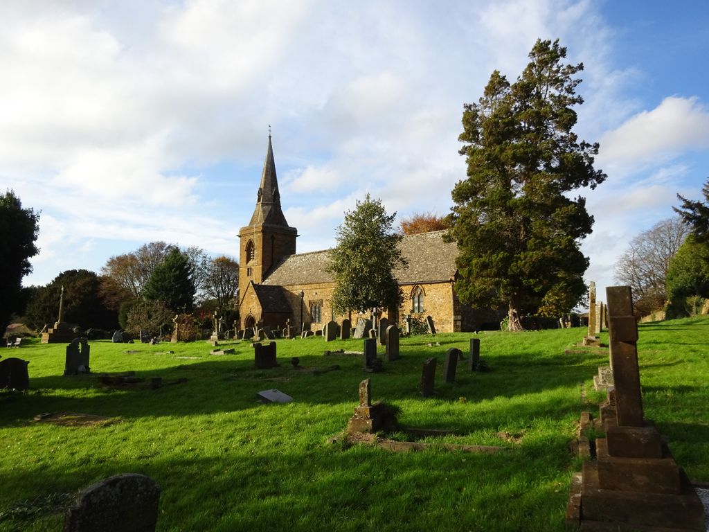
| Description | : | St Botolph's Churchyard cemetery is in the village of Farnborough, Warwickshire. The village is approximately 5 miles north of the market town of Banbury in Oxfordshire. |
frequently asked questions (FAQ):
-
Where is St. Botolph's Churchyard?
St. Botolph's Churchyard is located at Farnborough, Stratford-on-Avon District ,Warwickshire ,England.
-
St. Botolph's Churchyard cemetery's updated grave count on graveviews.com?
0 memorials
-
Where are the coordinates of the St. Botolph's Churchyard?
Latitude: 52.1427340
Longitude: -1.3675320
Nearby Cemetories:
1. All Saint's Churchyard
Mollington, Cherwell District, England
Coordinate: 52.1238200, -1.3557600
2. St. John The Baptist Churchyard
Avon Dassett, Stratford-on-Avon District, England
Coordinate: 52.1479847, -1.4002128
3. St. James Churchyard
Claydon, Cherwell District, England
Coordinate: 52.1467460, -1.3334590
4. St. Joseph's Churchyard
Avon Dassett, Stratford-on-Avon District, England
Coordinate: 52.1464266, -1.4020356
5. St Peter and St Clare Churchyard
Fenny Compton, Stratford-on-Avon District, England
Coordinate: 52.1657924, -1.3919803
6. St Michael Churchyard
Warmington, Stratford-on-Avon District, England
Coordinate: 52.1241420, -1.4028940
7. All Saints Churchyard
Burton Dassett, Stratford-on-Avon District, England
Coordinate: 52.1609570, -1.4200750
8. St. Laurence Churchyard
Shotteswell, Stratford-on-Avon District, England
Coordinate: 52.1061720, -1.3787950
9. St. Peter's Churchyard
Wormleighton, Stratford-on-Avon District, England
Coordinate: 52.1816070, -1.3469510
10. St. Mary the Virgin Churchyard
Cropredy, Cherwell District, England
Coordinate: 52.1163600, -1.3165570
11. All Saints' Church Great Bourton
Bourton, Cherwell District, England
Coordinate: 52.1062460, -1.3349970
12. Ratley St Peter Ad Vincula Churchyard
Ratley and Upton, Stratford-on-Avon District, England
Coordinate: 52.1228440, -1.4411190
13. St Etheldreda Churchyard
Horley, Cherwell District, England
Coordinate: 52.0924610, -1.3930320
14. St. Peters Churchyard
Hanwell, Cherwell District, England
Coordinate: 52.0887920, -1.3657000
15. St. John's Churchyard
Hornton, Cherwell District, England
Coordinate: 52.1020090, -1.4287560
16. Banbury Crematorium
Banbury, Cherwell District, England
Coordinate: 52.0865540, -1.3406860
17. Eydon Burial Ground
Eydon, South Northamptonshire Borough, England
Coordinate: 52.1347200, -1.2724300
18. St. Mary Magdalene Churchyard
Wardington, Cherwell District, England
Coordinate: 52.1131949, -1.2841641
19. Hardwick Hill Cemetery
Banbury, Cherwell District, England
Coordinate: 52.0864530, -1.3381430
20. St Peter Church
Radway, Stratford-on-Avon District, England
Coordinate: 52.1298000, -1.4636000
21. St Mary's Churchyard
Priors Hardwick, Stratford-on-Avon District, England
Coordinate: 52.2019860, -1.3110330
22. Gaydon Cemetery
Gaydon, Stratford-on-Avon District, England
Coordinate: 52.1796880, -1.4632870
23. All Saints Churchyard
Wroxton, Cherwell District, England
Coordinate: 52.0726220, -1.3925790
24. St. Peter and St. Paul Churchyard
Chacombe, South Northamptonshire Borough, England
Coordinate: 52.0916900, -1.2850100