| Memorials | : | 0 |
| Location | : | Cropredy, Cherwell District, England |
| Coordinate | : | 52.1163600, -1.3165570 |
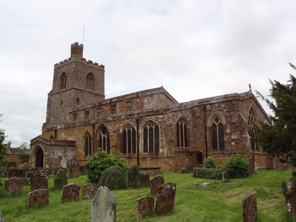
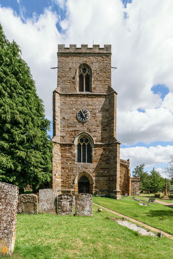
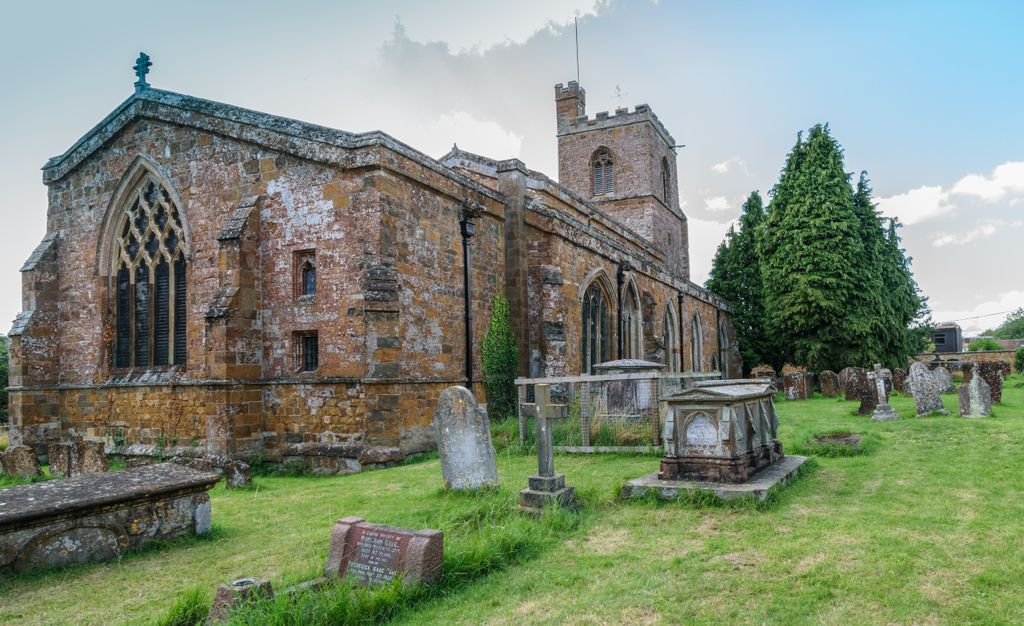
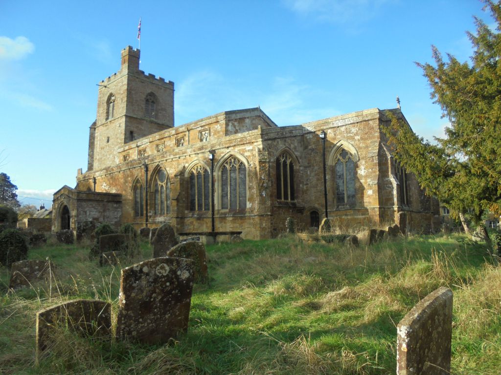
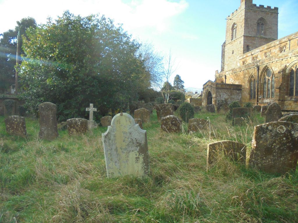
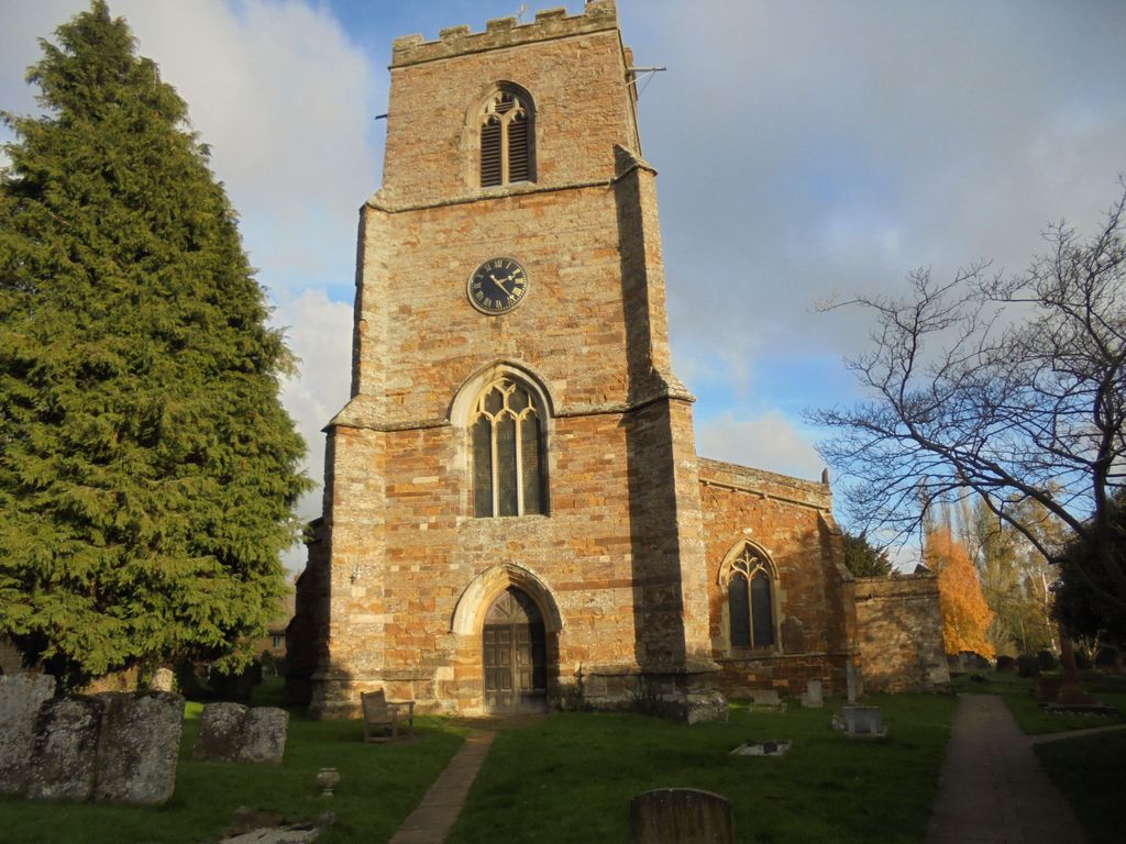
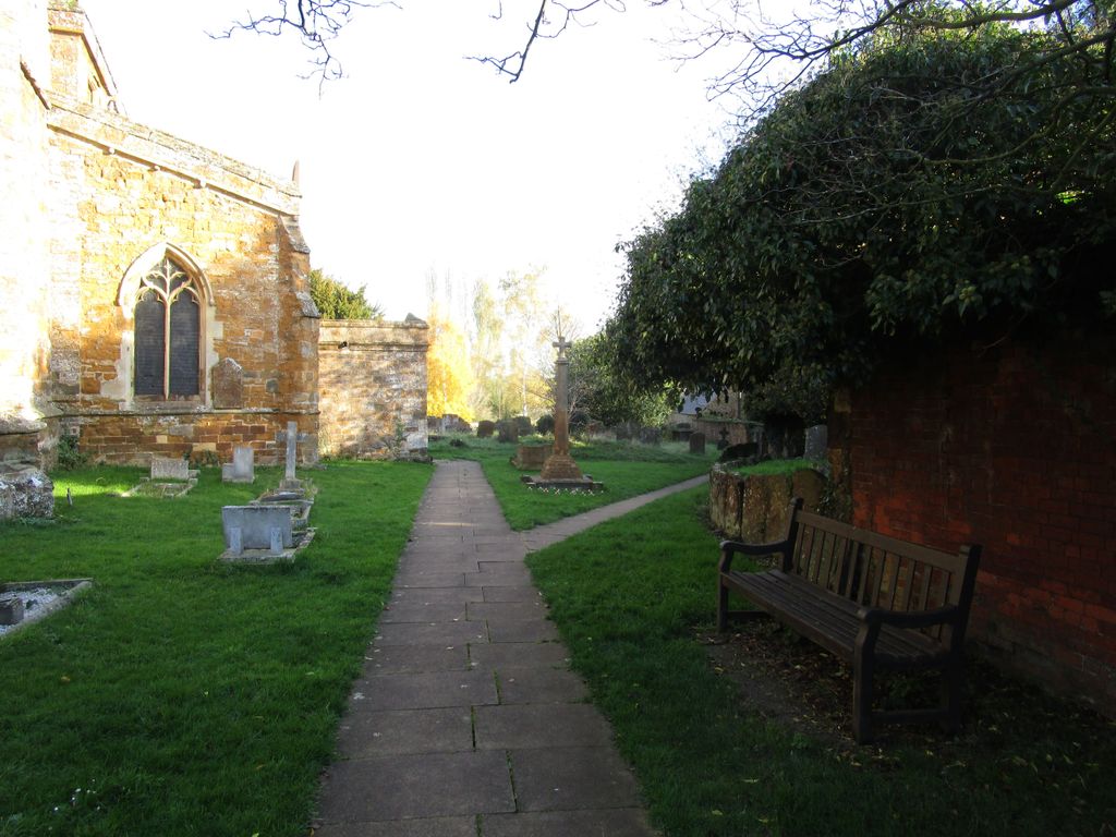
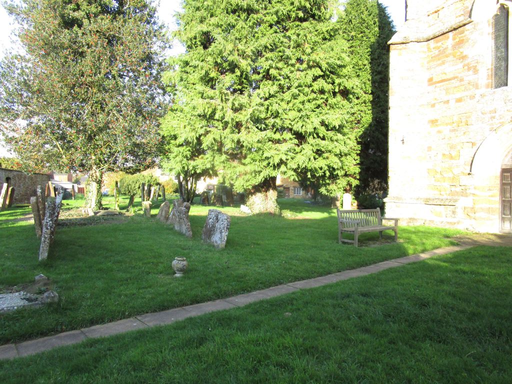
| Description | : | The South Aisle dates from as early as 1050. The oldest parts of the present building are the east portion of the south wall of the south aisle which contains a three-light window of c. 1300. From the early 14th century onwards the chancel, south aisle, nave, and, in the 15th century, the north aisle were successively rebuilt, and the chancel arch was enlarged to match the nave arcade; the two aisles were in the 15th century extended to form chapels, which over-lap the chancel. Mouldings on the nave arcade and on the tower and chancel arches are continuous to... Read More |
frequently asked questions (FAQ):
-
Where is St. Mary the Virgin Churchyard?
St. Mary the Virgin Churchyard is located at Church Lane Cropredy, Cherwell District ,Oxfordshire , OX17 1PLEngland.
-
St. Mary the Virgin Churchyard cemetery's updated grave count on graveviews.com?
0 memorials
-
Where are the coordinates of the St. Mary the Virgin Churchyard?
Latitude: 52.1163600
Longitude: -1.3165570
Nearby Cemetories:
1. All Saints' Church Great Bourton
Bourton, Cherwell District, England
Coordinate: 52.1062460, -1.3349970
2. St. Mary Magdalene Churchyard
Wardington, Cherwell District, England
Coordinate: 52.1131949, -1.2841641
3. All Saint's Churchyard
Mollington, Cherwell District, England
Coordinate: 52.1238200, -1.3557600
4. St. Peter and St. Paul Churchyard
Chacombe, South Northamptonshire Borough, England
Coordinate: 52.0916900, -1.2850100
5. St. James Churchyard
Claydon, Cherwell District, England
Coordinate: 52.1467460, -1.3334590
6. Hardwick Hill Cemetery
Banbury, Cherwell District, England
Coordinate: 52.0864530, -1.3381430
7. Eydon Burial Ground
Eydon, South Northamptonshire Borough, England
Coordinate: 52.1347200, -1.2724300
8. Banbury Crematorium
Banbury, Cherwell District, England
Coordinate: 52.0865540, -1.3406860
9. St. Laurence Churchyard
Shotteswell, Stratford-on-Avon District, England
Coordinate: 52.1061720, -1.3787950
10. St. Peters Churchyard
Hanwell, Cherwell District, England
Coordinate: 52.0887920, -1.3657000
11. St. Botolph's Churchyard
Farnborough, Stratford-on-Avon District, England
Coordinate: 52.1427340, -1.3675320
12. All Saints Churchyard
Middleton Cheney, South Northamptonshire Borough, England
Coordinate: 52.0741984, -1.2740247
13. Southam Road Cemetery
Banbury, Cherwell District, England
Coordinate: 52.0679120, -1.3405760
14. Middleton Cheney Cemetery
Middleton Cheney, South Northamptonshire Borough, England
Coordinate: 52.0745100, -1.2692900
15. St Etheldreda Churchyard
Horley, Cherwell District, England
Coordinate: 52.0924610, -1.3930320
16. St Michael Churchyard
Warmington, Stratford-on-Avon District, England
Coordinate: 52.1241420, -1.4028940
17. St Mary Church
Warkworth, South Northamptonshire Borough, England
Coordinate: 52.0627000, -1.2917000
18. St. Mary the Virgin Churchyard
Banbury, Cherwell District, England
Coordinate: 52.0614620, -1.3391870
19. St. John the Evangelist Churchyard
Banbury, Cherwell District, England
Coordinate: 52.0598790, -1.3400100
20. St Peter's Churchyard
Drayton, Cherwell District, England
Coordinate: 52.0707360, -1.3764670
21. St. John the Baptist Churchyard
Thorpe Mandeville, South Northamptonshire Borough, England
Coordinate: 52.1003400, -1.2244400
22. St. John The Baptist Churchyard
Avon Dassett, Stratford-on-Avon District, England
Coordinate: 52.1479847, -1.4002128
23. St. Joseph's Churchyard
Avon Dassett, Stratford-on-Avon District, England
Coordinate: 52.1464266, -1.4020356
24. All Saints Churchyard
Wroxton, Cherwell District, England
Coordinate: 52.0726220, -1.3925790

