
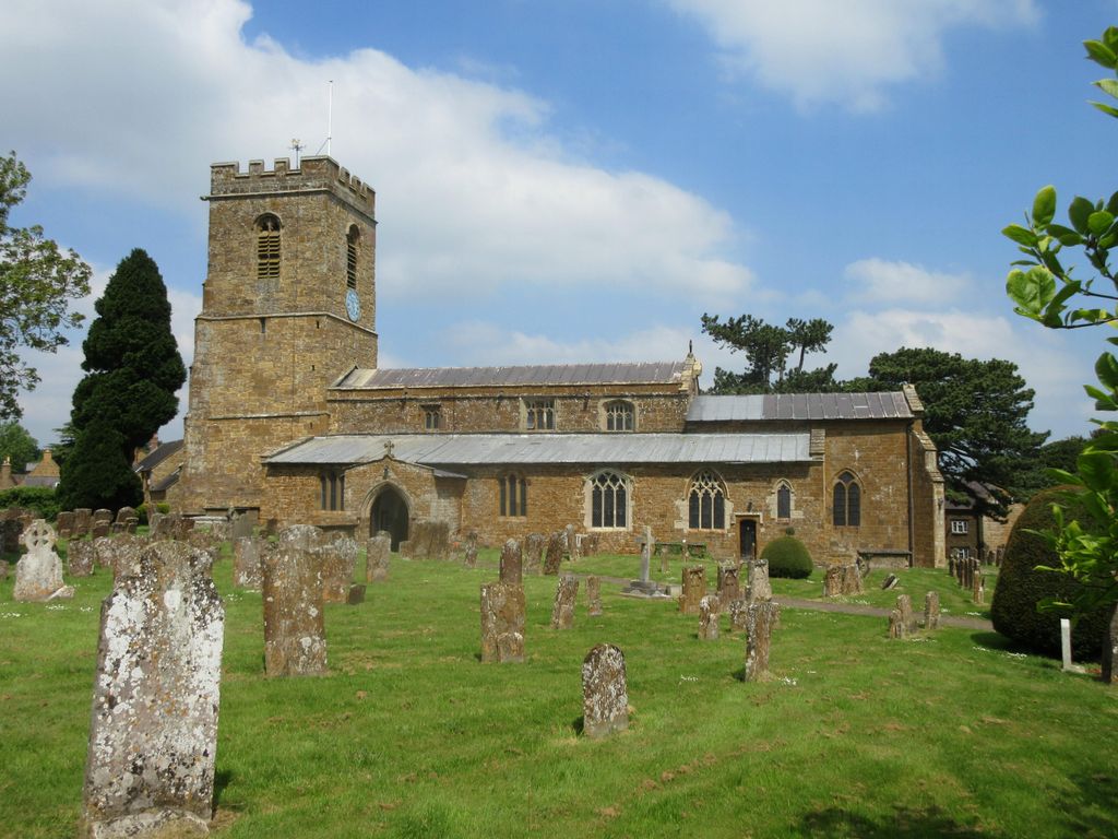
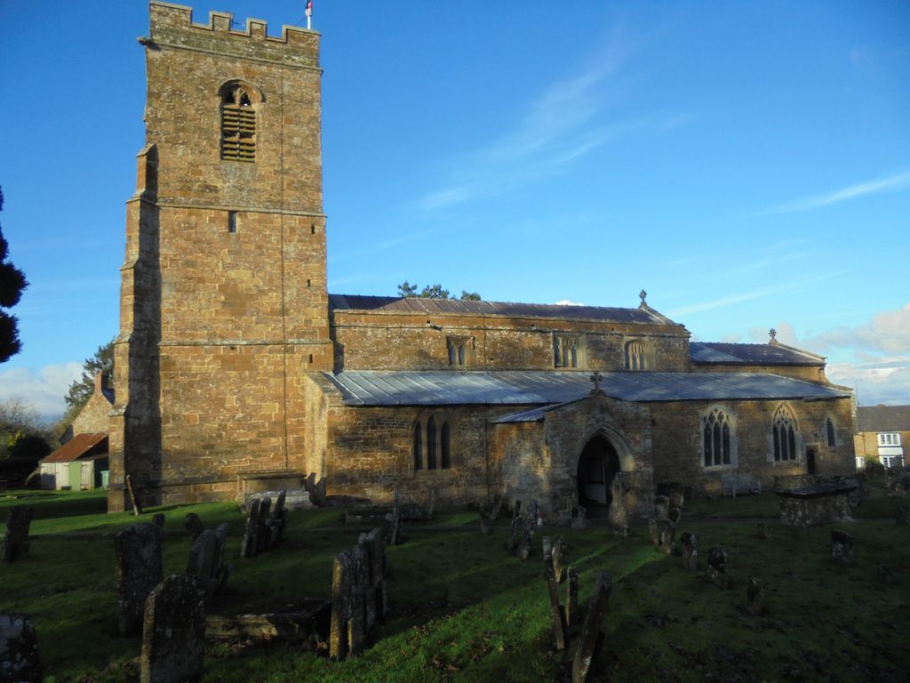
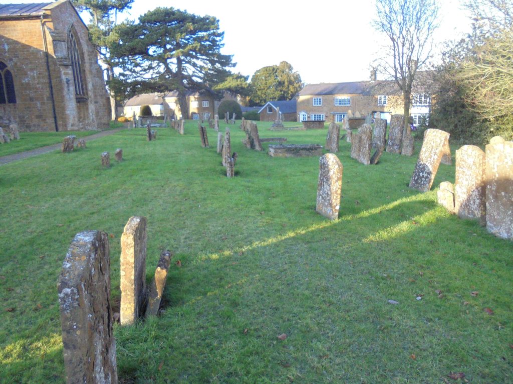
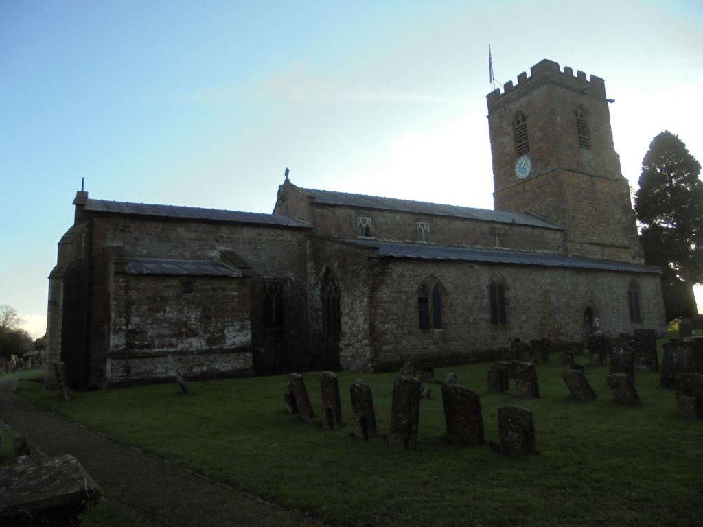
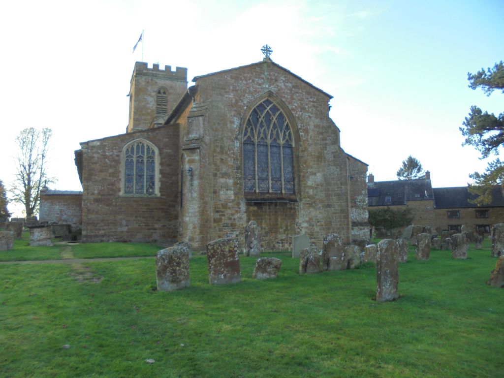
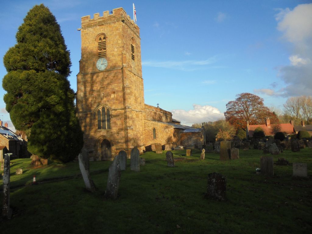
| Memorials | : | 1 |
| Location | : | Wardington, Cherwell District, England |
| Coordinate | : | 52.1131949, -1.2841641 |
frequently asked questions (FAQ):
-
Where is St. Mary Magdalene Churchyard?
St. Mary Magdalene Churchyard is located at Wardington, Cherwell District ,Oxfordshire , OX17 1RSEngland.
-
St. Mary Magdalene Churchyard cemetery's updated grave count on graveviews.com?
1 memorials
-
Where are the coordinates of the St. Mary Magdalene Churchyard?
Latitude: 52.1131949
Longitude: -1.2841641
Nearby Cemetories:
1. St. Mary the Virgin Churchyard
Cropredy, Cherwell District, England
Coordinate: 52.1163600, -1.3165570
2. St. Peter and St. Paul Churchyard
Chacombe, South Northamptonshire Borough, England
Coordinate: 52.0916900, -1.2850100
3. Eydon Burial Ground
Eydon, South Northamptonshire Borough, England
Coordinate: 52.1347200, -1.2724300
4. All Saints' Church Great Bourton
Bourton, Cherwell District, England
Coordinate: 52.1062460, -1.3349970
5. St. John the Baptist Churchyard
Thorpe Mandeville, South Northamptonshire Borough, England
Coordinate: 52.1003400, -1.2244400
6. All Saints Churchyard
Middleton Cheney, South Northamptonshire Borough, England
Coordinate: 52.0741984, -1.2740247
7. Middleton Cheney Cemetery
Middleton Cheney, South Northamptonshire Borough, England
Coordinate: 52.0745100, -1.2692900
8. Hardwick Hill Cemetery
Banbury, Cherwell District, England
Coordinate: 52.0864530, -1.3381430
9. Banbury Crematorium
Banbury, Cherwell District, England
Coordinate: 52.0865540, -1.3406860
10. St. James Churchyard
Claydon, Cherwell District, England
Coordinate: 52.1467460, -1.3334590
11. All Saint's Churchyard
Mollington, Cherwell District, England
Coordinate: 52.1238200, -1.3557600
12. St Mary the Virgin Churchyard
Thenford, South Northamptonshire Borough, England
Coordinate: 52.0697510, -1.2442930
13. St Mary Church
Warkworth, South Northamptonshire Borough, England
Coordinate: 52.0627000, -1.2917000
14. St. Lawrence Churchyard
Marston St Lawrence, South Northamptonshire Borough, England
Coordinate: 52.0744570, -1.2190630
15. St. Peters Churchyard
Hanwell, Cherwell District, England
Coordinate: 52.0887920, -1.3657000
16. Southam Road Cemetery
Banbury, Cherwell District, England
Coordinate: 52.0679120, -1.3405760
17. St. Laurence Churchyard
Shotteswell, Stratford-on-Avon District, England
Coordinate: 52.1061720, -1.3787950
18. St. Botolph's Churchyard
Farnborough, Stratford-on-Avon District, England
Coordinate: 52.1427340, -1.3675320
19. St. James the Less Churchyard
Sulgrave, South Northamptonshire Borough, England
Coordinate: 52.1036130, -1.1883880
20. St. Mary the Virgin Churchyard
Banbury, Cherwell District, England
Coordinate: 52.0614620, -1.3391870
21. St. John the Evangelist Churchyard
Banbury, Cherwell District, England
Coordinate: 52.0598790, -1.3400100
22. St. Peter's Churchyard
Greatworth, South Northamptonshire Borough, England
Coordinate: 52.0770540, -1.1954490
23. St Etheldreda Churchyard
Horley, Cherwell District, England
Coordinate: 52.0924610, -1.3930320
24. St Peter's Churchyard
Drayton, Cherwell District, England
Coordinate: 52.0707360, -1.3764670