
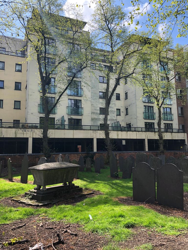
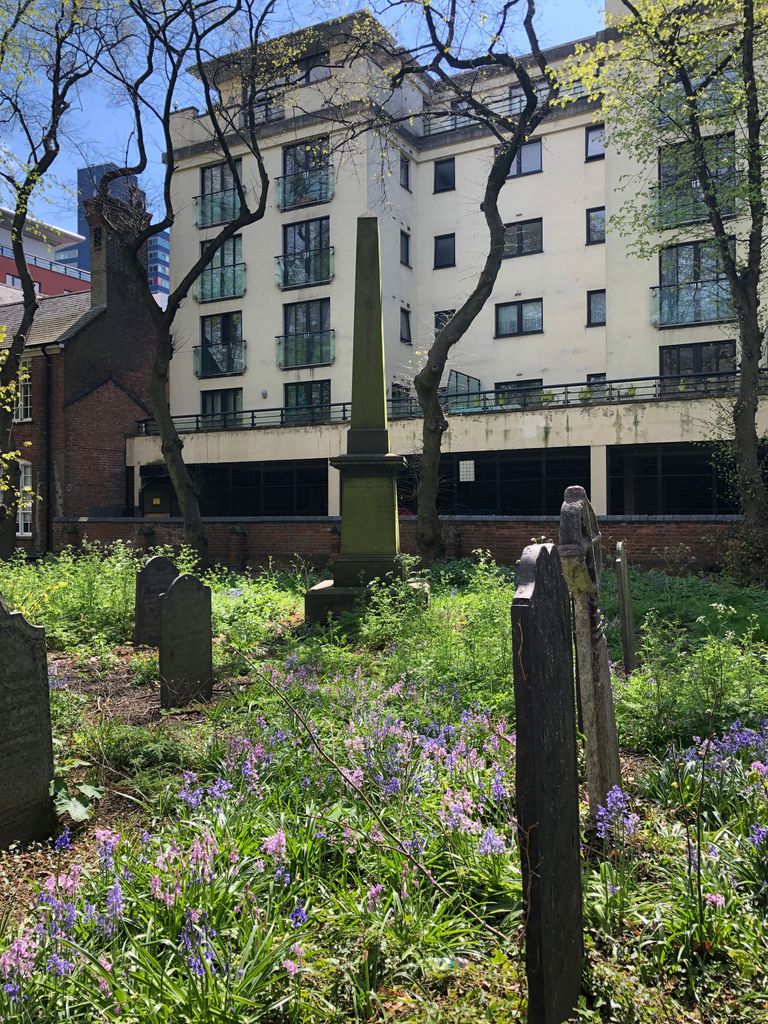
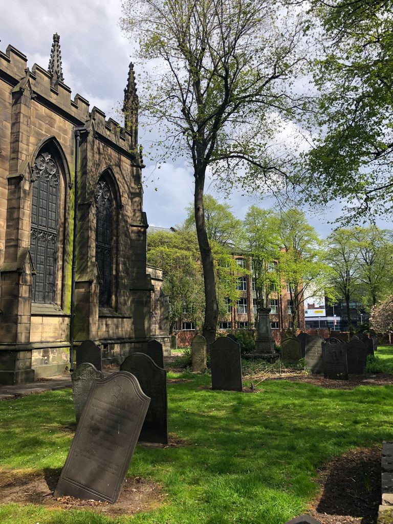
| Memorials | : | 28 |
| Location | : | Leicester, Leicester Unitary Authority, England |
| Coordinate | : | 52.6344300, -1.1267420 |
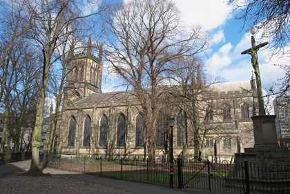
| Description | : | A Grade II listed Serbian Orthodox Church since 1983, it was originally an Anglican Church until the early 1970s. Situated in it's surrounding churchyard, it was built between 1823 and 1827 and designed by the Architect William Parsons in the Gothic Revival style. It was restored in 1911 following a fire. |
frequently asked questions (FAQ):
-
Where is St George's Church?
St George's Church is located at 40 Colton Street, Leicester Leicester, Leicester Unitary Authority ,Leicestershire , LE1 1REEngland.
-
St George's Church cemetery's updated grave count on graveviews.com?
28 memorials
-
Where are the coordinates of the St George's Church?
Latitude: 52.6344300
Longitude: -1.1267420
Nearby Cemetories:
1. Leicester Cathedral
Leicester, Leicester Unitary Authority, England
Coordinate: 52.6347430, -1.1370210
2. Great Meeting Unitarian Chapel
Leicester, Leicester Unitary Authority, England
Coordinate: 52.6379400, -1.1360390
3. St Peter's Church (Defunct)
Leicester, Leicester Unitary Authority, England
Coordinate: 52.6300260, -1.1164980
4. St Margaret Churchyard
Leicester, Leicester Unitary Authority, England
Coordinate: 52.6403430, -1.1363440
5. St. Mary de Castro Churchyard
Leicester, Leicester Unitary Authority, England
Coordinate: 52.6322610, -1.1404000
6. St. Nicholas Church
Leicester, Leicester Unitary Authority, England
Coordinate: 52.6351400, -1.1408940
7. All Saints Church
Leicester, Leicester Unitary Authority, England
Coordinate: 52.6381940, -1.1403170
8. Church of the Annunciation of St. Mary
Leicester, Leicester Unitary Authority, England
Coordinate: 52.6308229, -1.1417201
9. Welford Road Cemetery
Leicester, Leicester Unitary Authority, England
Coordinate: 52.6200104, -1.1295080
10. Leicester Abbey
Leicester, Leicester Unitary Authority, England
Coordinate: 52.6489600, -1.1369470
11. St. john the Baptist
Leicester, Leicester Unitary Authority, England
Coordinate: 52.6181730, -1.1118790
12. St. Peter's Churchyard
Belgrave, Leicester Unitary Authority, England
Coordinate: 52.6594208, -1.1255690
13. Saint Mary Magdalene Churchyard
Knighton, Leicester Unitary Authority, England
Coordinate: 52.6054170, -1.1163730
14. Belgrave Cemetery
Belgrave, Leicester Unitary Authority, England
Coordinate: 52.6653570, -1.1311220
15. Gilroes Cemetery and Crematorium
Leicester, Leicester Unitary Authority, England
Coordinate: 52.6514359, -1.1721700
16. St. Mary's Churchyard
Humberstone, Leicester Unitary Authority, England
Coordinate: 52.6479200, -1.0760100
17. St. Denys' Churchyard
Evington, Leicester Unitary Authority, England
Coordinate: 52.6193210, -1.0743860
18. St Andrew Churchyard
Aylestone, Leicester Unitary Authority, England
Coordinate: 52.6038420, -1.1568900
19. St Peter's Churchyard
Braunstone, Blaby District, England
Coordinate: 52.6208940, -1.1812900
20. St James the Great Churchyard
Birstall, Charnwood Borough, England
Coordinate: 52.6741150, -1.1189210
21. Saffron Hill Cemetery
Leicester, Leicester Unitary Authority, England
Coordinate: 52.5934120, -1.1310010
22. Greengate Lane Cemetery
Birstall, Charnwood Borough, England
Coordinate: 52.6800110, -1.1346940
23. St. Peter Churchyard
Oadby, Oadby and Wigston Borough, England
Coordinate: 52.5973900, -1.0805100
24. Oadby Cemetery
Oadby, Oadby and Wigston Borough, England
Coordinate: 52.5961580, -1.0826170