
| Memorials | : | 60 |
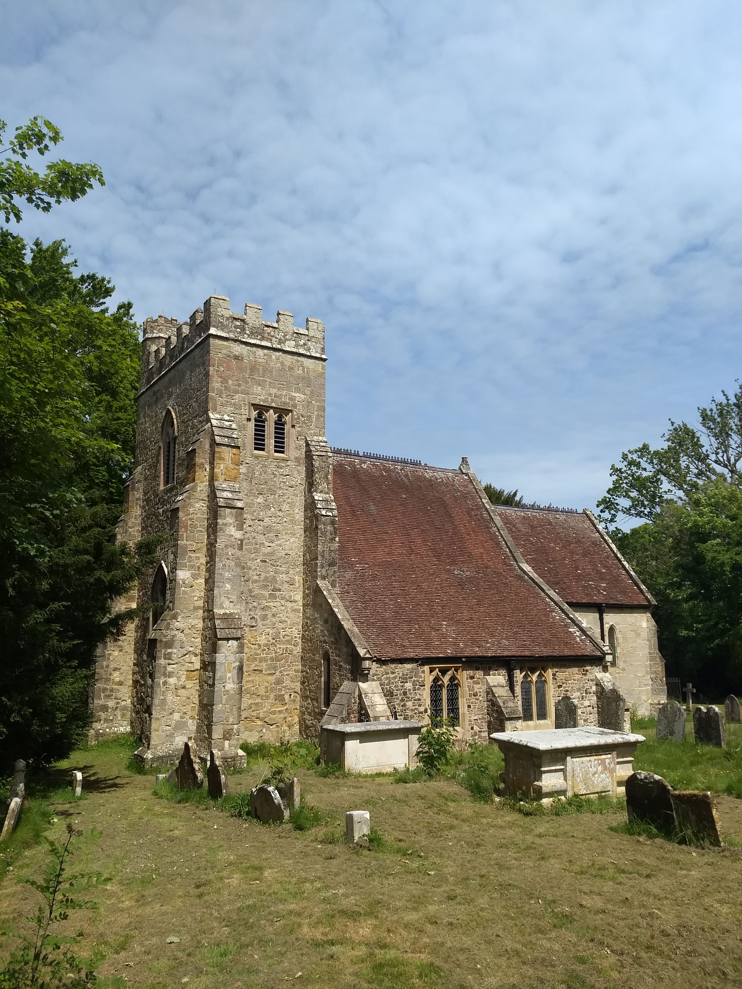
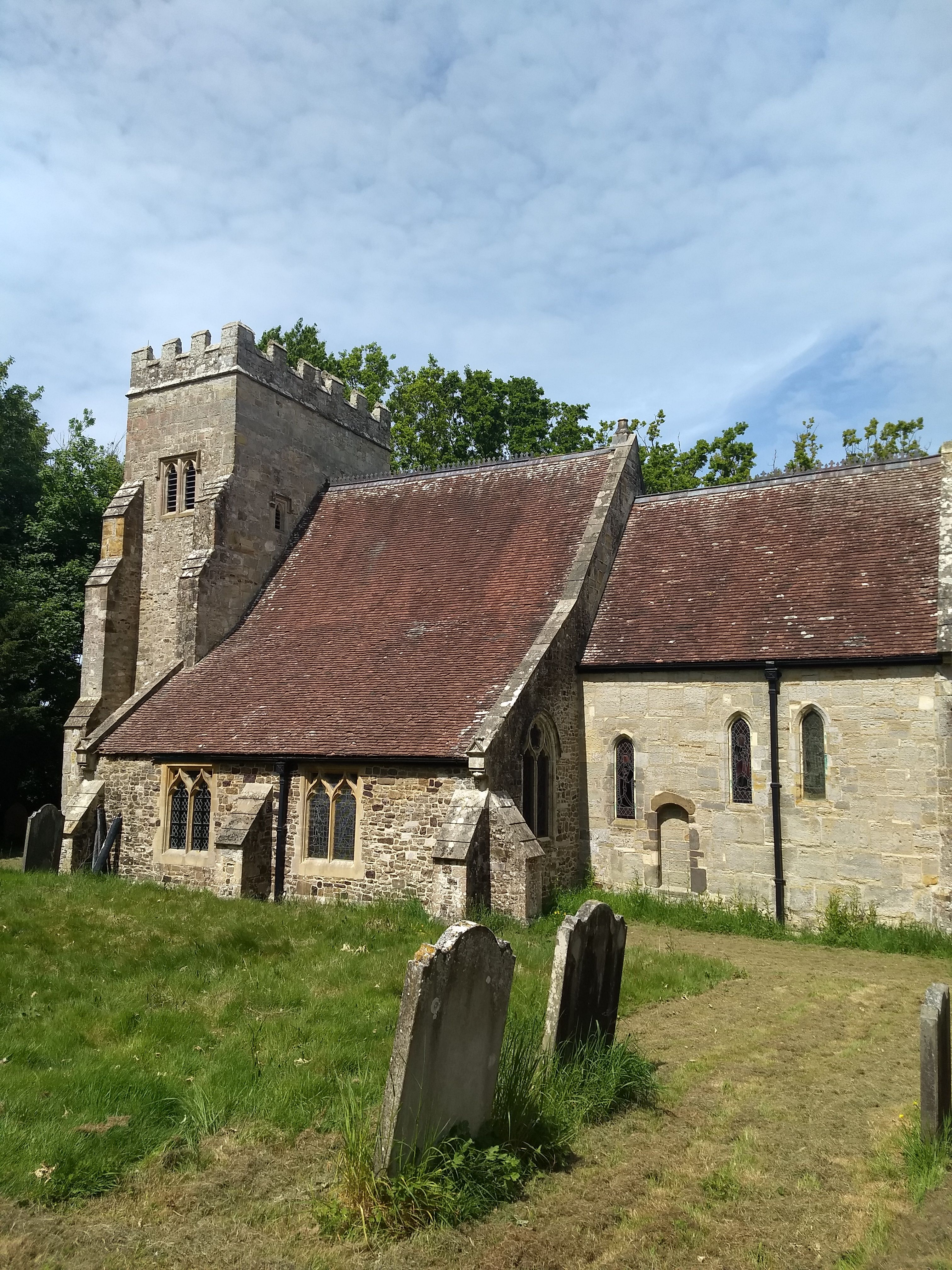
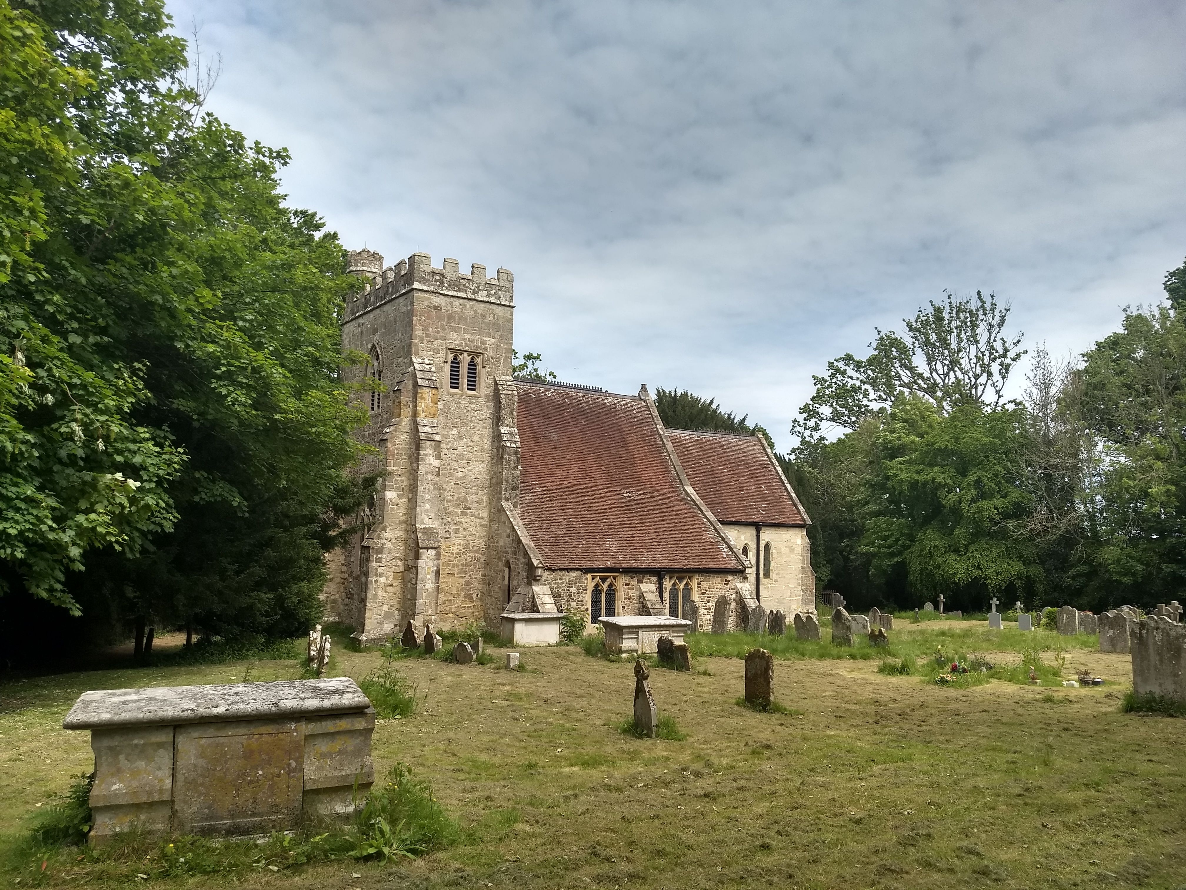
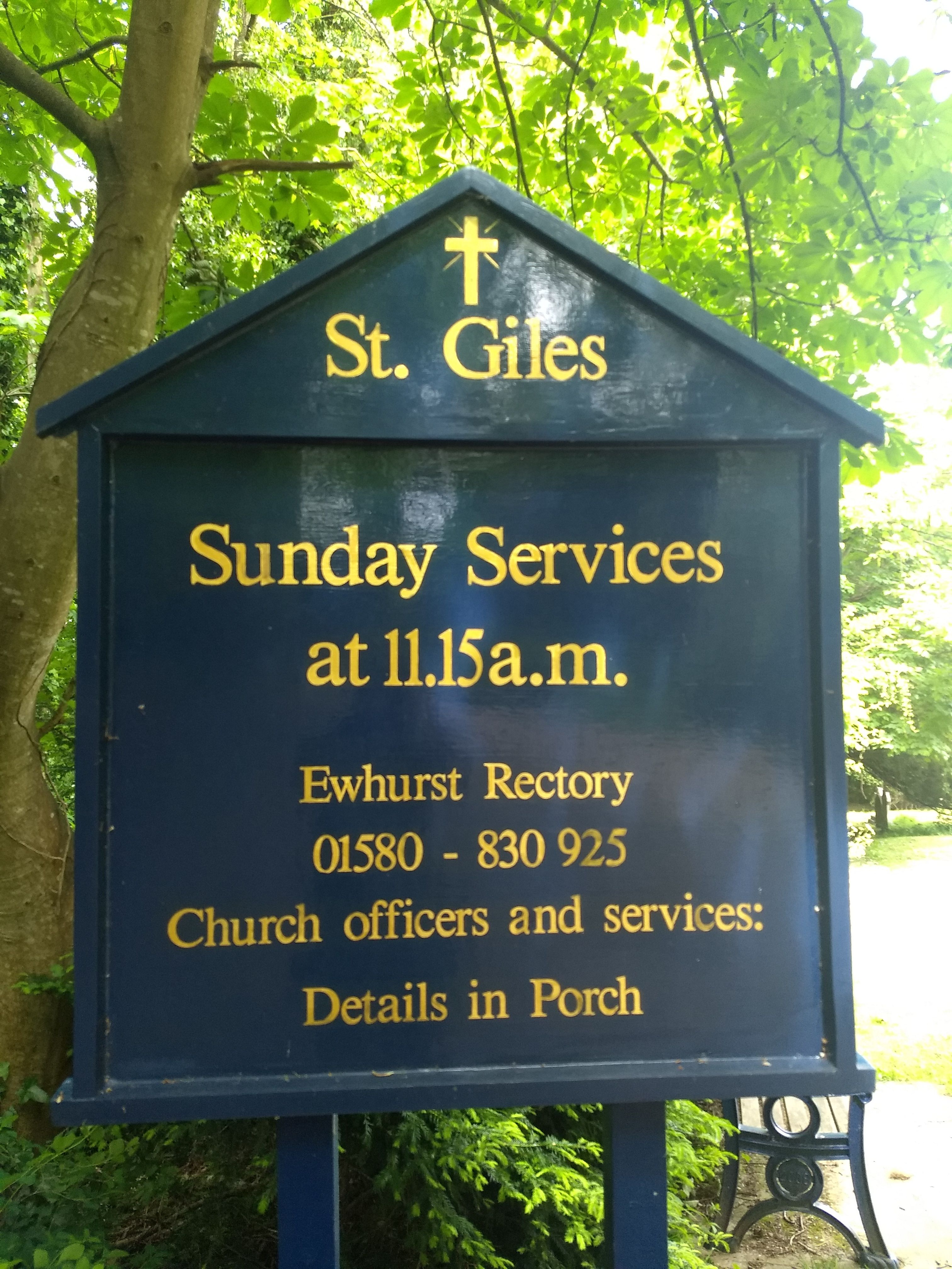
| Location | : | Bodiam, Rother District, England |
| Coordinate | : | 51.0074800, 0.5393000 |
frequently asked questions (FAQ):
-
Where is Saint Giles' Churchyard?
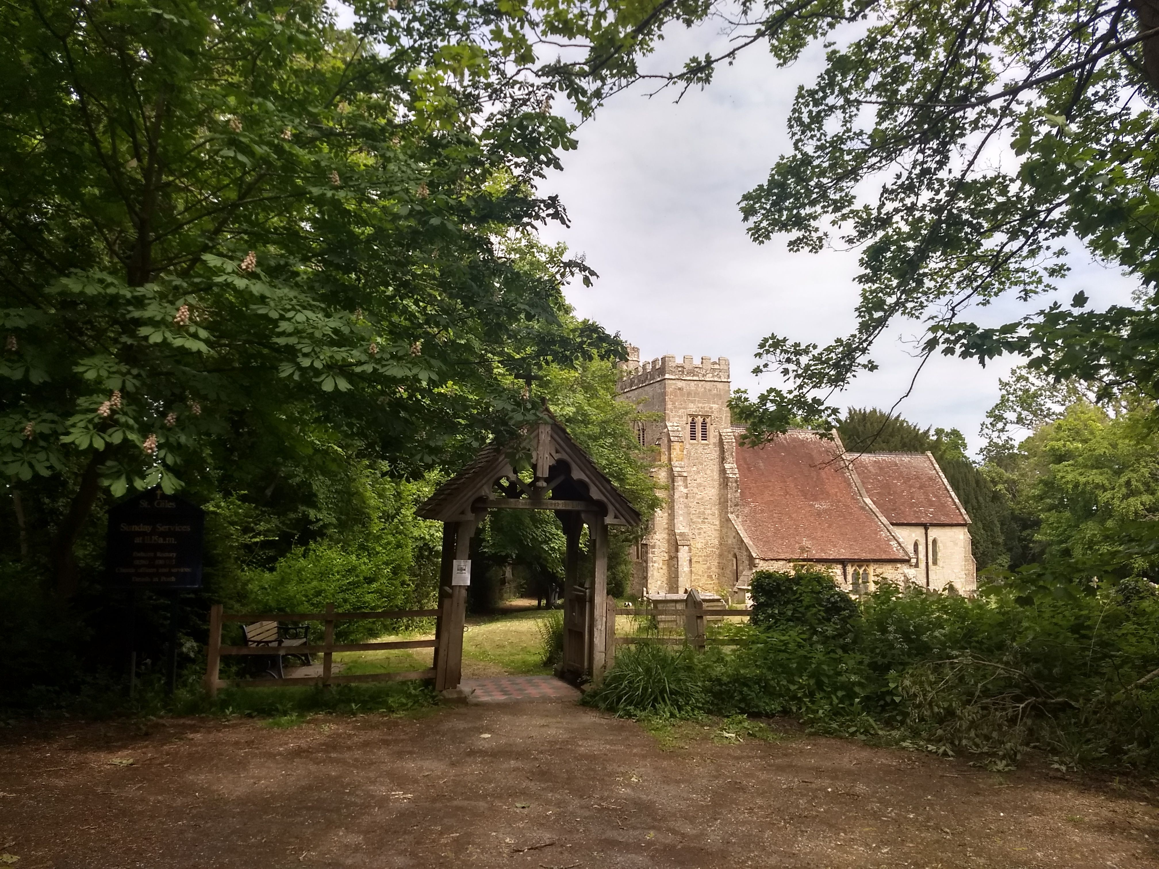
Saint Giles' Churchyard is located at Bodiam, Rother District ,East Sussex ,England.
-
Saint Giles' Churchyard cemetery's updated grave count on graveviews.com?
0 memorials
-
Where are the coordinates of the Saint Giles' Churchyard?
Latitude: 51.0074800
Longitude: 0.5393000
Nearby Cemetories:
1. Ewhurst Green Churchyard
Ewhurst, Rother District, England
Coordinate: 50.9924300, 0.5572900
2. Hawkhurst Cemetery
Hawkhurst, Tunbridge Wells Borough, England
Coordinate: 51.0302300, 0.5051300
3. St Mary the Virgin Churchyard
Salehurst, Rother District, England
Coordinate: 50.9910170, 0.4911260
4. St. Laurence Churchyard
Hawkhurst, Tunbridge Wells Borough, England
Coordinate: 51.0377240, 0.5031610
5. Northiam Cemetery
Northiam, Rother District, England
Coordinate: 50.9926872, 0.5984631
6. St Mary's Churchyard
Northiam, Rother District, England
Coordinate: 50.9911250, 0.6061390
7. Holy Trinity Churchyard
Hurst Green, Rother District, England
Coordinate: 51.0201400, 0.4691080
8. St Peter's Church
Newenden, Ashford Borough, England
Coordinate: 51.0157750, 0.6137190
9. St Theresa's Catholic Church
Northiam, Rother District, England
Coordinate: 50.9654510, 0.5958960
10. All Saints Churchyard
Beckley, Rother District, England
Coordinate: 50.9832400, 0.6245300
11. Darvell Bruderhof Cemetery
Robertsbridge, Rother District, England
Coordinate: 50.9790497, 0.4561470
12. Assumption of Blessed Mary & St. Nicholas Church
Etchingham, Rother District, England
Coordinate: 51.0095830, 0.4416420
13. St. George Parish Churchyard
Benenden, Tunbridge Wells Borough, England
Coordinate: 51.0648720, 0.5794570
14. St. John Baptist Anglcian Churchyard
Sedlescombe, Rother District, England
Coordinate: 50.9412440, 0.5281560
15. Saint Augustine's Churchyard
Flimwell, Rother District, England
Coordinate: 51.0514170, 0.4580350
16. All Saints Churchyard
Mountfield, Rother District, England
Coordinate: 50.9558449, 0.4685820
17. BroadOak Methodist Chapel
Brede, Rother District, England
Coordinate: 50.9487320, 0.6015820
18. St. Mary the Virgin Churchyard
Rolvenden, Ashford Borough, England
Coordinate: 51.0506590, 0.6310280
19. St Mary Magdalene Churchyard
Whatlington, Rother District, England
Coordinate: 50.9365900, 0.5042980
20. St George Churchyard
Brede, Rother District, England
Coordinate: 50.9349140, 0.5963830
21. St John The Baptist Churchyard
Mountfield, Rother District, England
Coordinate: 50.9404170, 0.4512760
22. St David's Bridge Strict Baptist Chapel
Cranbrook, Tunbridge Wells Borough, England
Coordinate: 51.0953430, 0.5378980
23. Cranbrook Cemetery
Cranbrook, Tunbridge Wells Borough, England
Coordinate: 51.0962250, 0.5541360
24. St Dunstan's Churchyard
Cranbrook, Tunbridge Wells Borough, England
Coordinate: 51.0973030, 0.5363690