
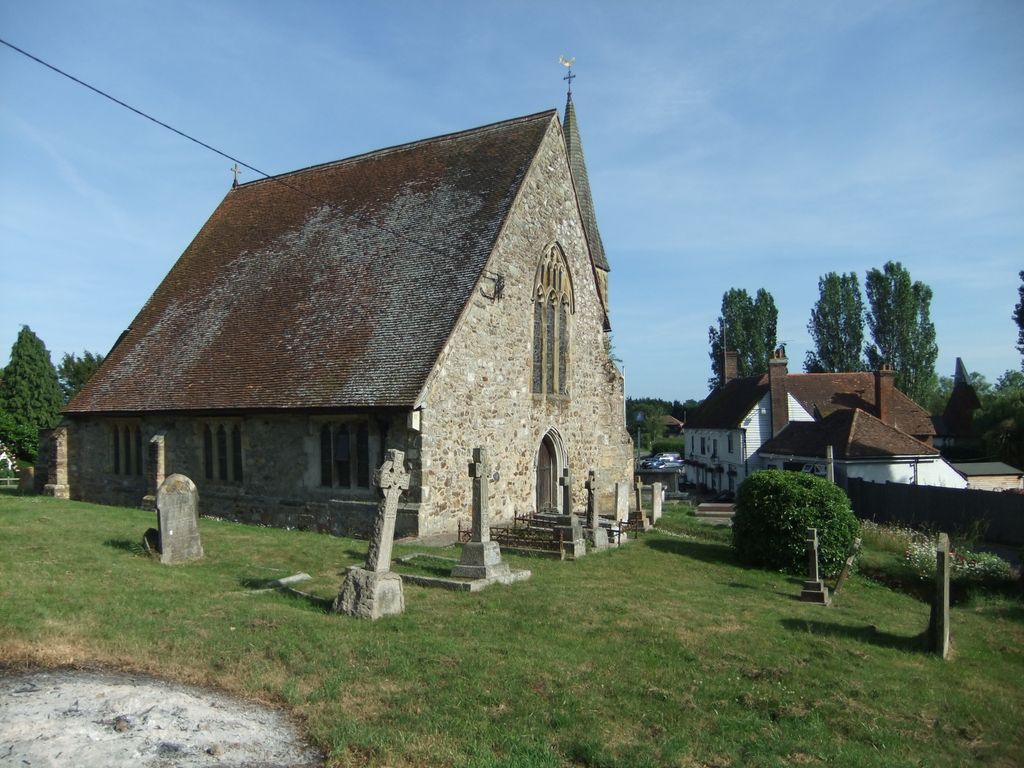
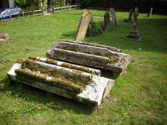
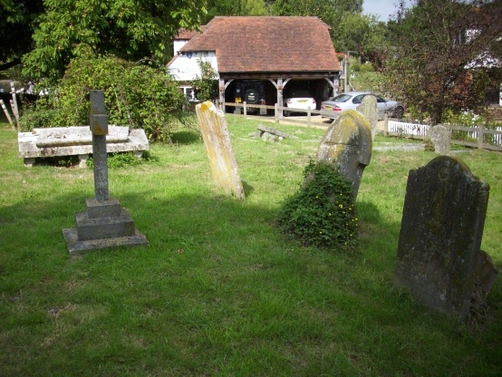
| Memorials | : | 124 |
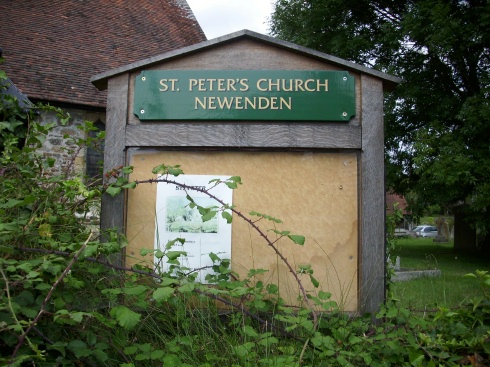
| Location | : | Newenden, Ashford Borough, England |
| Coordinate | : | 51.0157750, 0.6137190 |
frequently asked questions (FAQ):
-
Where is St Peter's Church?
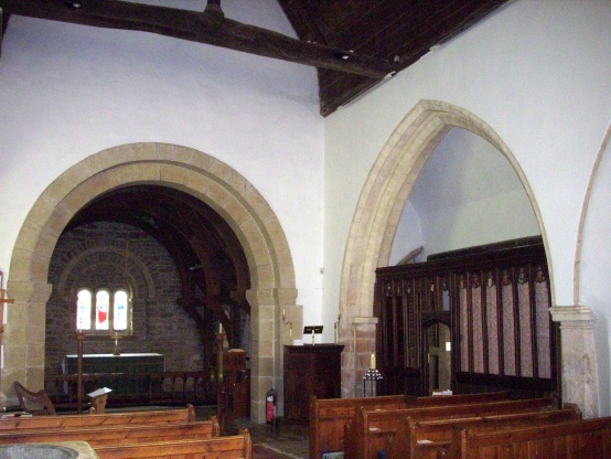
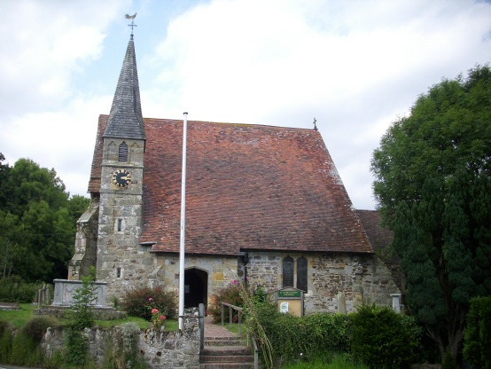
St Peter's Church is located at Newenden, Ashford Borough ,Kent ,England.
-
St Peter's Church cemetery's updated grave count on graveviews.com?
18 memorials
-
Where are the coordinates of the St Peter's Church?
Latitude: 51.0157750
Longitude: 0.6137190
Nearby Cemetories:
1. Northiam Cemetery
Northiam, Rother District, England
Coordinate: 50.9926872, 0.5984631
2. St Mary's Churchyard
Northiam, Rother District, England
Coordinate: 50.9911250, 0.6061390
3. All Saints Churchyard
Beckley, Rother District, England
Coordinate: 50.9832400, 0.6245300
4. St. Mary the Virgin Churchyard
Rolvenden, Ashford Borough, England
Coordinate: 51.0506590, 0.6310280
5. Ewhurst Green Churchyard
Ewhurst, Rother District, England
Coordinate: 50.9924300, 0.5572900
6. Saint Giles' Churchyard
Bodiam, Rother District, England
Coordinate: 51.0074800, 0.5393000
7. St Theresa's Catholic Church
Northiam, Rother District, England
Coordinate: 50.9654510, 0.5958960
8. St. George Parish Churchyard
Benenden, Tunbridge Wells Borough, England
Coordinate: 51.0648720, 0.5794570
9. Wittersham
Wittersham, Ashford Borough, England
Coordinate: 51.0115600, 0.7016000
10. St John the Baptist
Small Hythe, Ashford Borough, England
Coordinate: 51.0396260, 0.6996060
11. Tenterden Cemetery
Tenterden, Ashford Borough, England
Coordinate: 51.0676820, 0.6737140
12. BroadOak Methodist Chapel
Brede, Rother District, England
Coordinate: 50.9487320, 0.6015820
13. Saint Peter & Saint Paul Church Churchyard
Peasmarsh, Rother District, England
Coordinate: 50.9645500, 0.6859200
14. Station Road Extension
Tenterden, Ashford Borough, England
Coordinate: 51.0686640, 0.6852830
15. Hawkhurst Cemetery
Hawkhurst, Tunbridge Wells Borough, England
Coordinate: 51.0302300, 0.5051300
16. St. Mildred's Churchyard
Tenterden, Ashford Borough, England
Coordinate: 51.0686264, 0.6870960
17. St. Laurence Churchyard
Hawkhurst, Tunbridge Wells Borough, England
Coordinate: 51.0377240, 0.5031610
18. Unitarian Old Meeting House
Tenterden, Ashford Borough, England
Coordinate: 51.0717468, 0.6906880
19. Saint Mary Churchyard
Udimore, Rother District, England
Coordinate: 50.9399770, 0.6508420
20. Iden Burial Ground
Iden, Rother District, England
Coordinate: 50.9813000, 0.7275300
21. All Saints Churchyard
Iden, Rother District, England
Coordinate: 50.9812930, 0.7275500
22. St Mary the Virgin Churchyard
Salehurst, Rother District, England
Coordinate: 50.9910170, 0.4911260
23. St George Churchyard
Brede, Rother District, England
Coordinate: 50.9349140, 0.5963830
24. Ebony Old Cemetery
Stone-cum-Ebony, Ashford Borough, England
Coordinate: 51.0378926, 0.7422129