
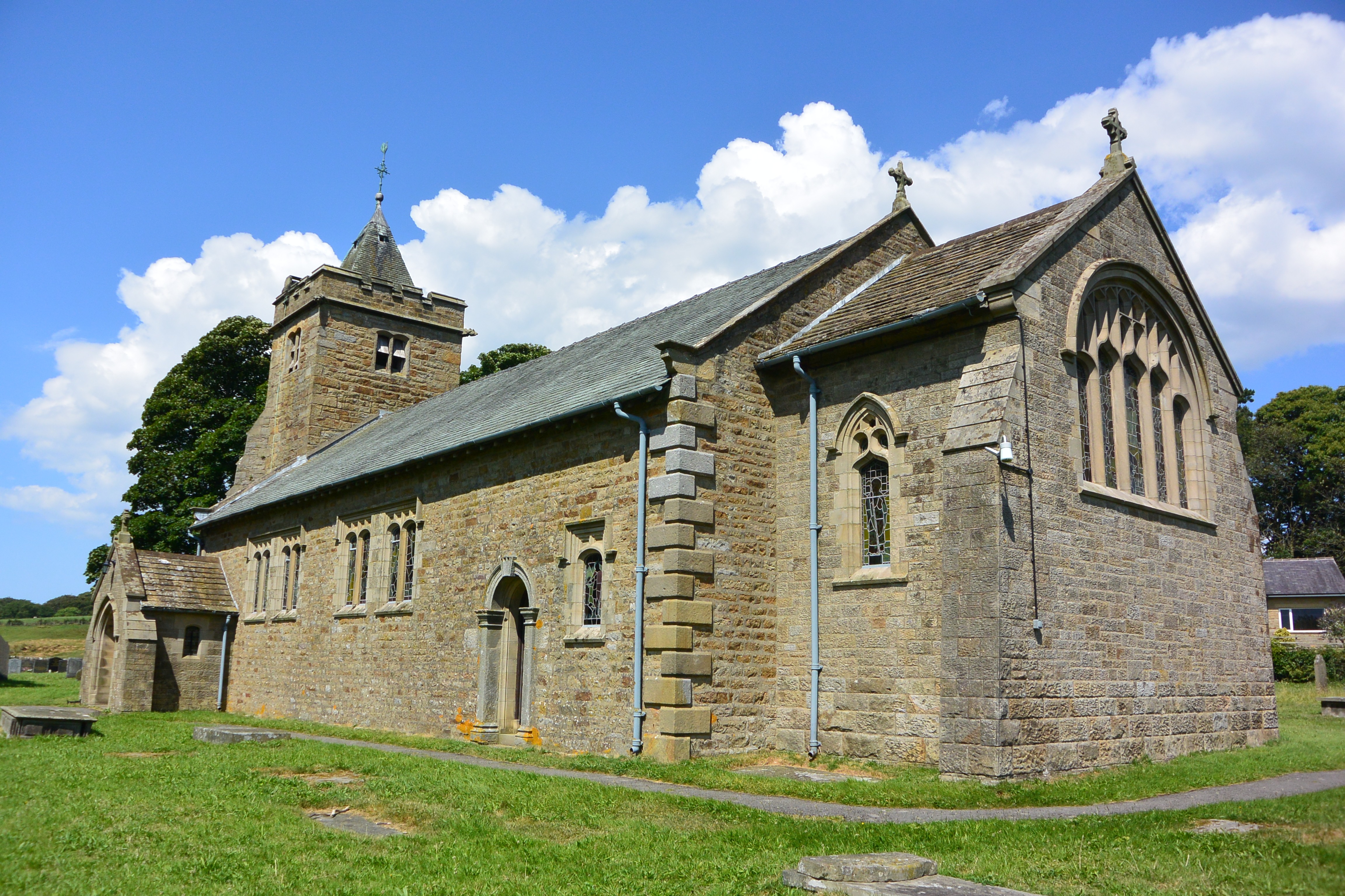
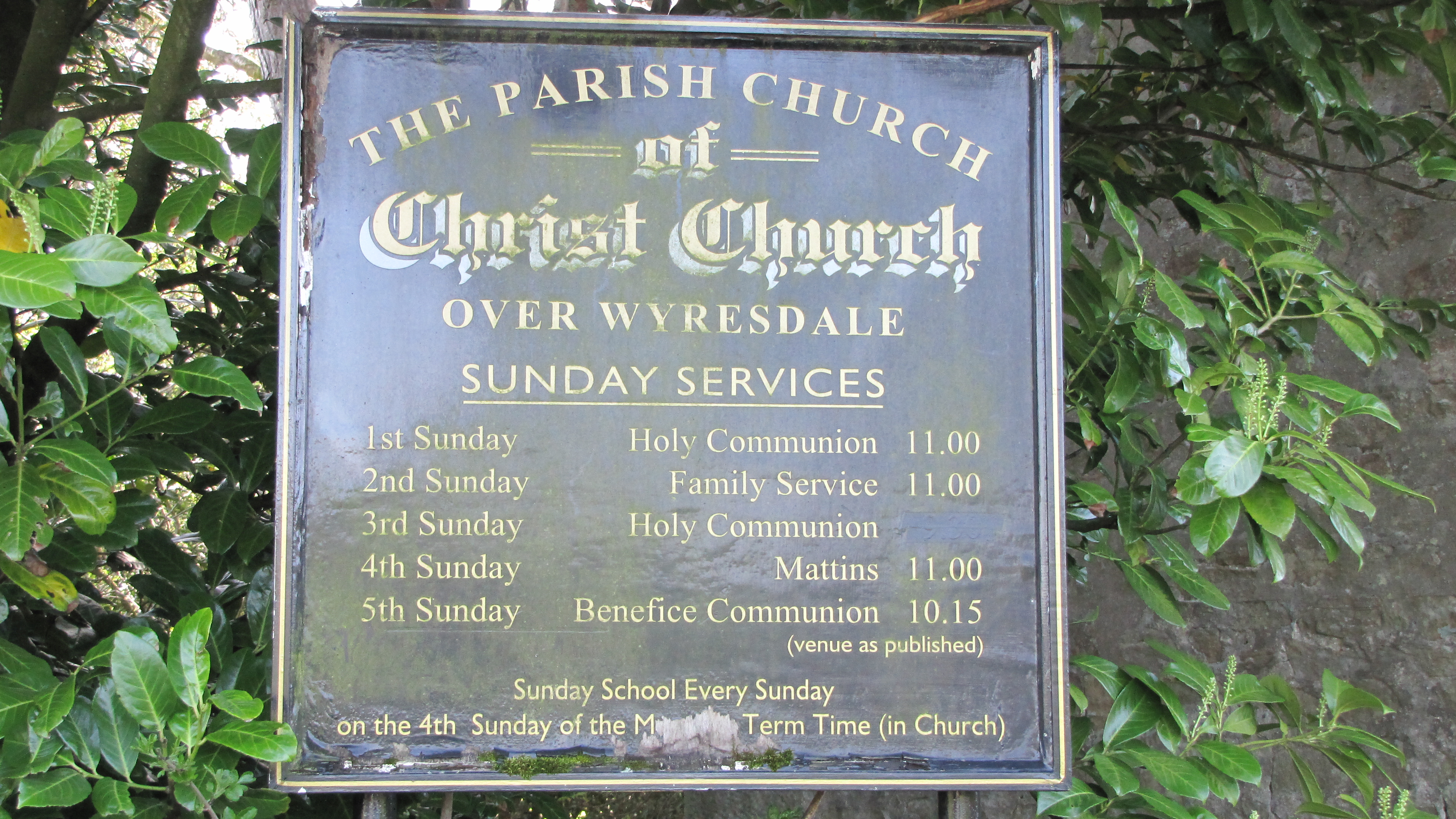
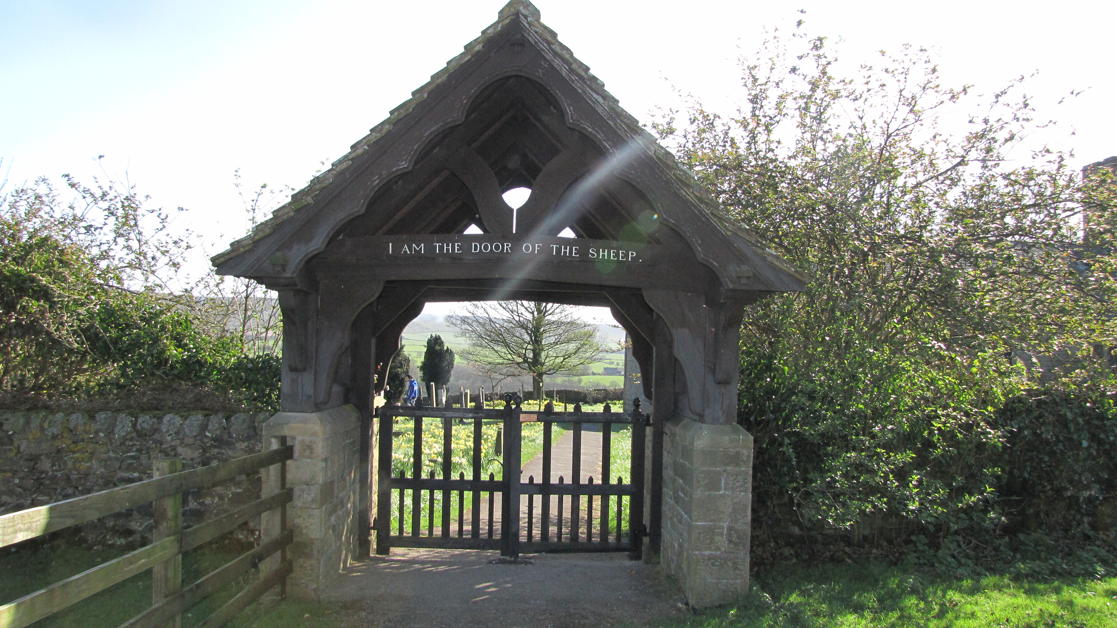
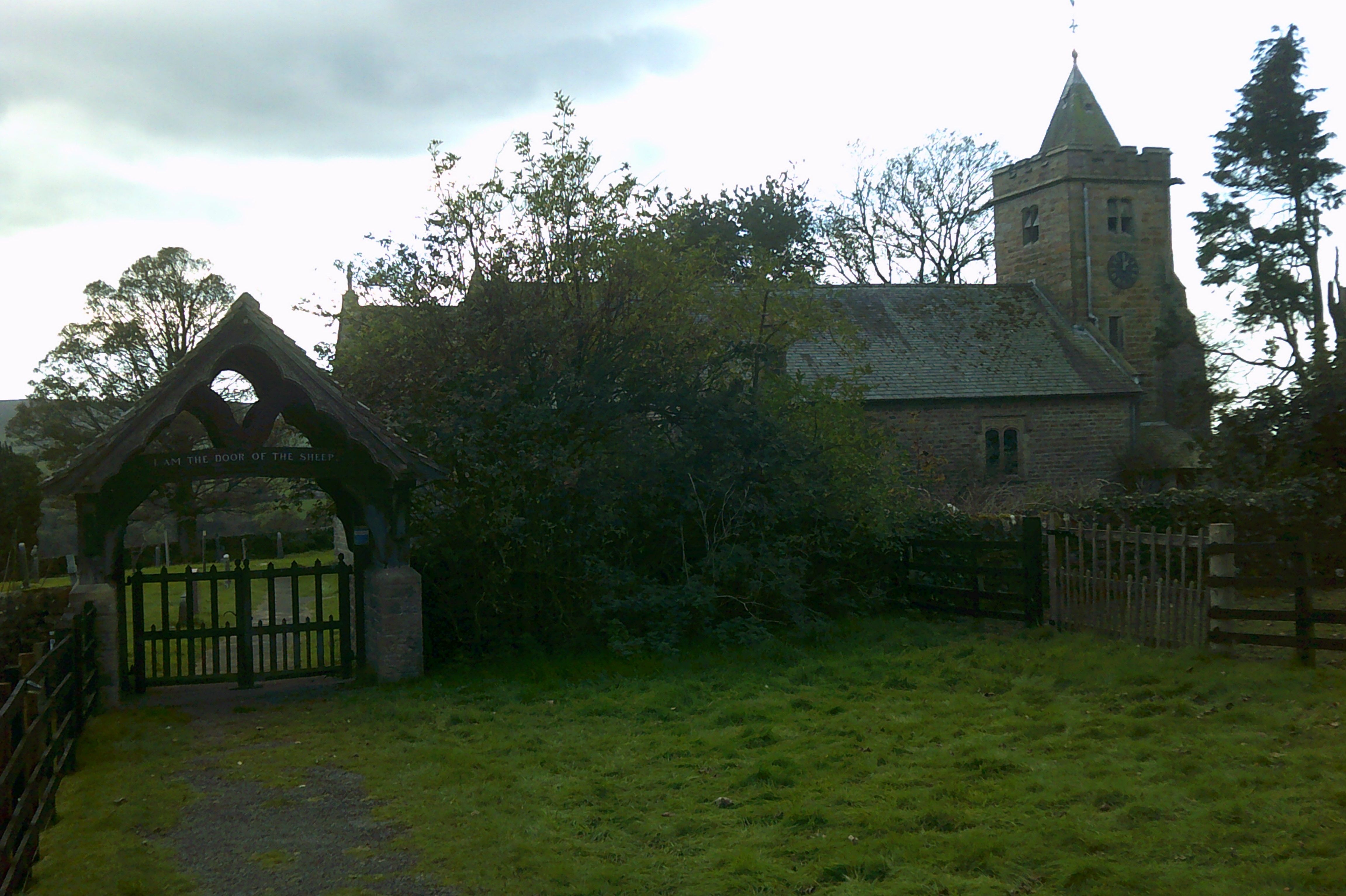
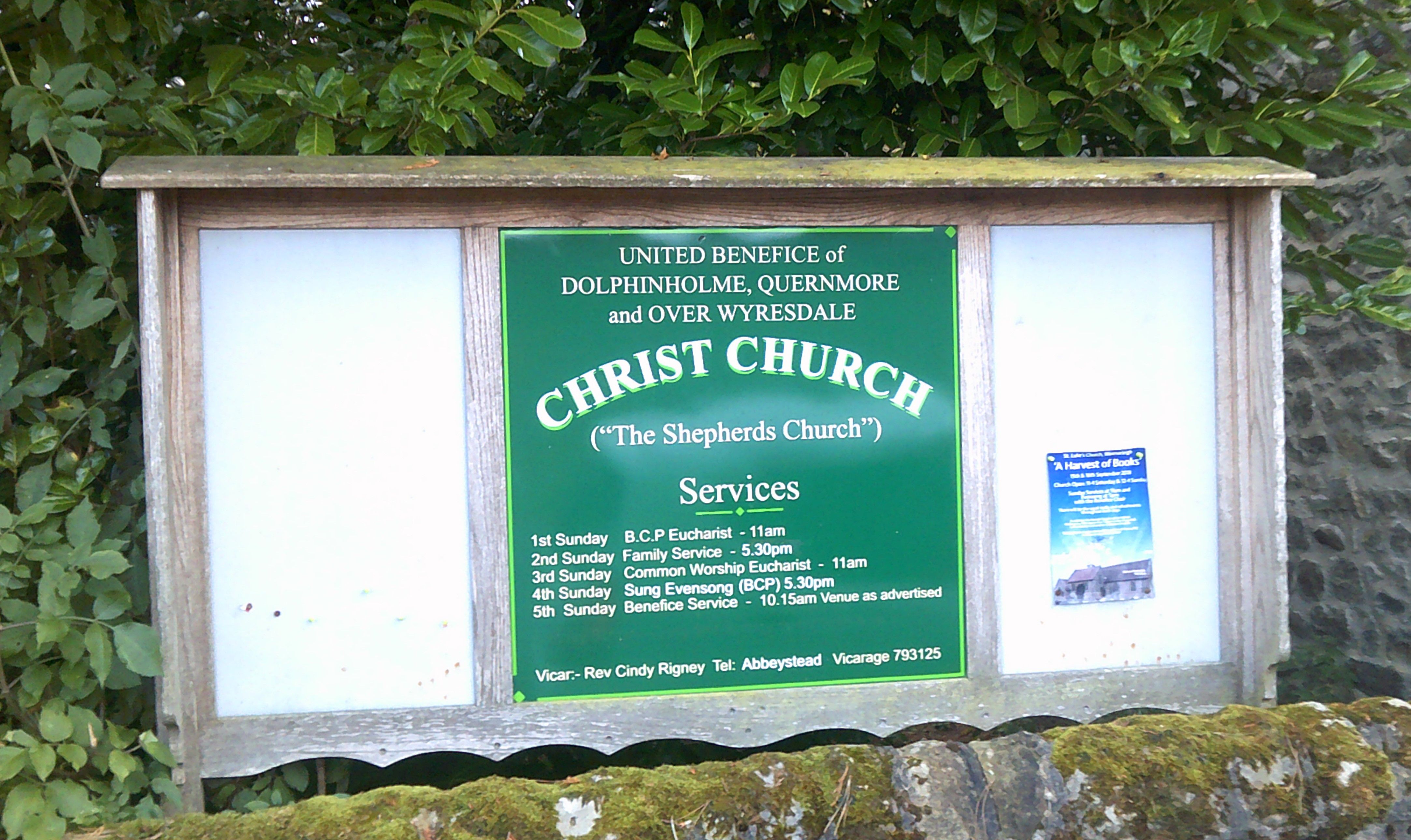
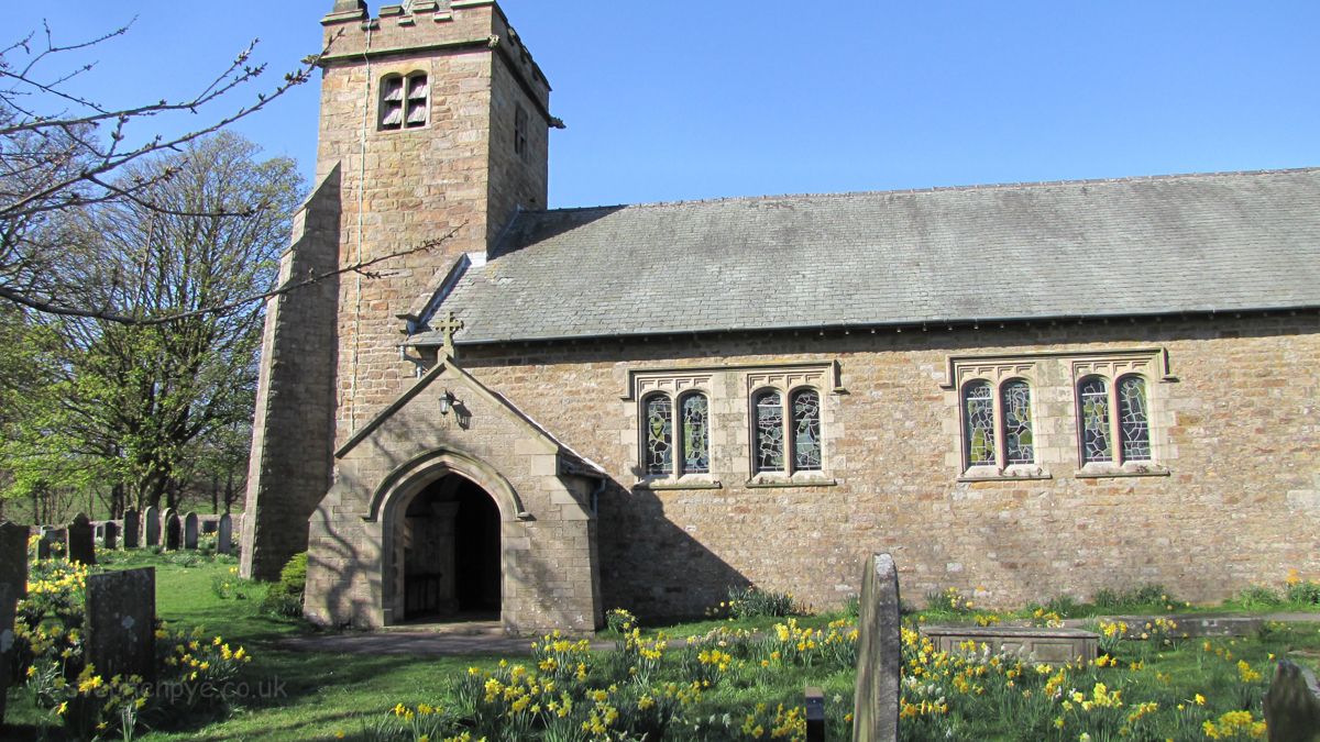
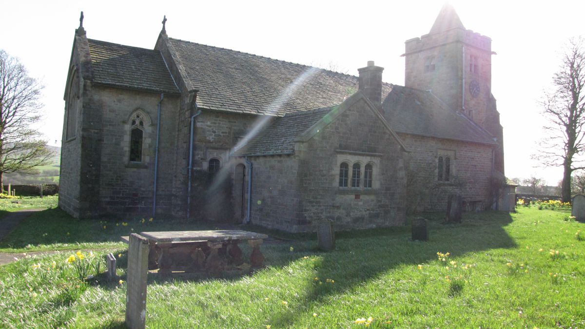
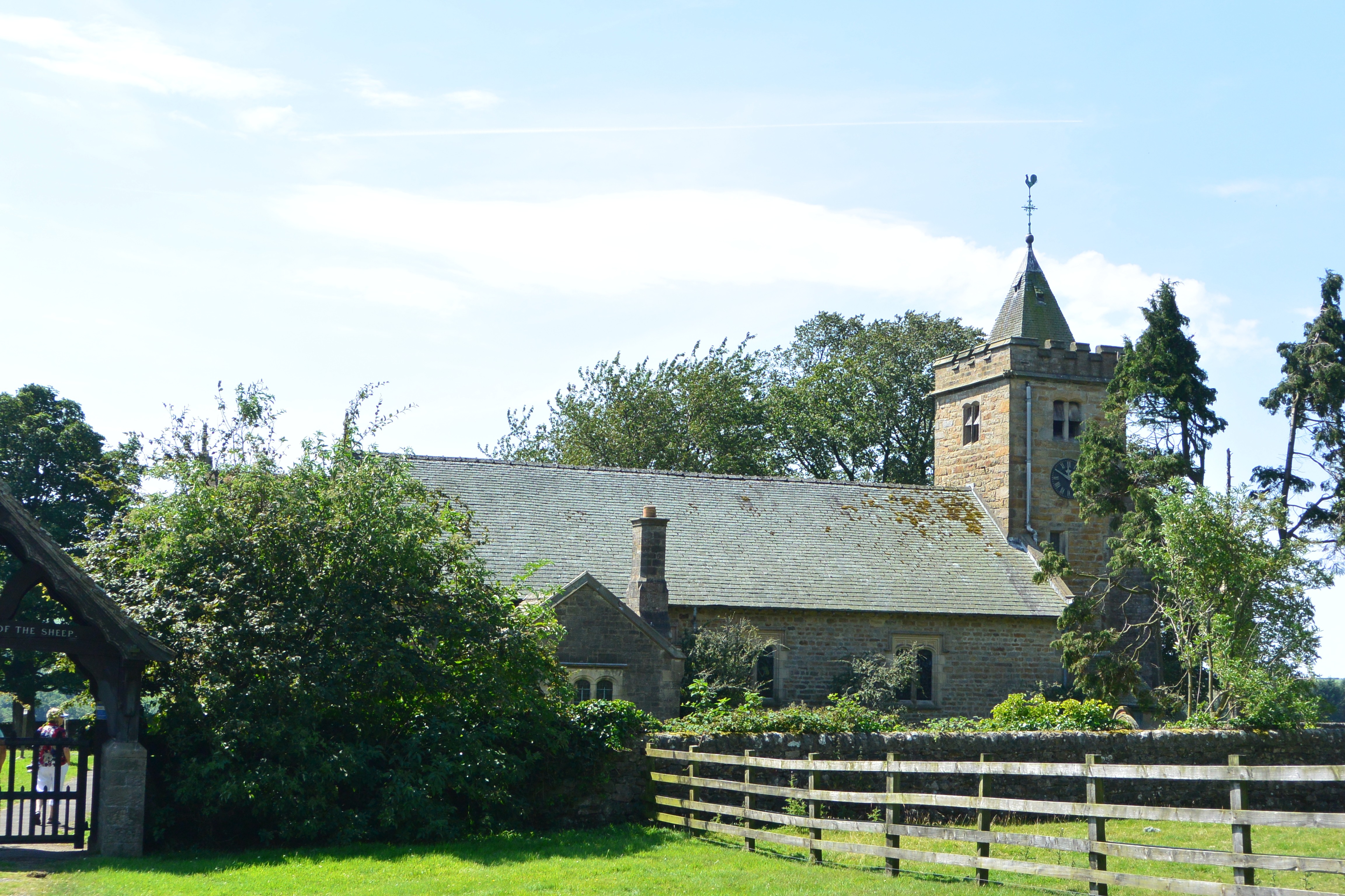
| Memorials | : | 441 |
| Location | : | Over Wyresdale, City of Lancaster, England |
| Coordinate | : | 53.9839250, -2.6861150 |
frequently asked questions (FAQ):
-
Where is Christ Church Churchyard?
Christ Church Churchyard is located at Over Wyresdale, City of Lancaster ,Lancashire ,England.
-
Christ Church Churchyard cemetery's updated grave count on graveviews.com?
441 memorials
-
Where are the coordinates of the Christ Church Churchyard?
Latitude: 53.9839250
Longitude: -2.6861150
Nearby Cemetories:
1. Quaker Burial Ground
Abbeystead, City of Lancaster, England
Coordinate: 53.9910820, -2.6912370
2. St Mark Churchyard
Dolphinholme, City of Lancaster, England
Coordinate: 53.9738730, -2.7378420
3. Quernmore Methodist Churchyard
Quernmore, City of Lancaster, England
Coordinate: 54.0259440, -2.7361400
4. St Paul's Churchyard
Forton, Wyre Borough, England
Coordinate: 53.9543760, -2.7605890
5. St John’s Church Graveyard
Ellel, City of Lancaster, England
Coordinate: 53.9990010, -2.7846660
6. St Peter's Churchyard
Quernmore, City of Lancaster, England
Coordinate: 54.0367200, -2.7375400
7. St. Mary's Chapel Ellel Grange
Ellel, City of Lancaster, England
Coordinate: 53.9756944, -2.7918522
8. Forton United Reform Church Cemetery
Forton, Wyre Borough, England
Coordinate: 53.9547940, -2.7813920
9. St. Peter's Churchyard
Garstang, Wyre Borough, England
Coordinate: 53.9309510, -2.7591190
10. St Thomas with Elizabeth Churchyard
Thurnham, City of Lancaster, England
Coordinate: 53.9819990, -2.8159520
11. Scotforth Cemetery
Scotforth, City of Lancaster, England
Coordinate: 54.0282250, -2.8007170
12. Saint Michael's and All Angels Church Cemetery
Cockerham, City of Lancaster, England
Coordinate: 53.9602092, -2.8204877
13. St. Eadmer's Churchyard
Bleasdale, Wyre Borough, England
Coordinate: 53.9040530, -2.6504390
14. All Saints Parish Churchyard
Barnacre with Bonds, Wyre Borough, England
Coordinate: 53.9079120, -2.7430580
15. Lancaster Cemetery
Lancaster, City of Lancaster, England
Coordinate: 54.0504210, -2.7768760
16. Cathedral Cemetery of Lancaster
Lancaster, City of Lancaster, England
Coordinate: 54.0471170, -2.7942920
17. St. Paul Churchyard
Caton, City of Lancaster, England
Coordinate: 54.0757840, -2.7009980
18. St. Nicholas Street Chapel Churchyard
Lancaster, City of Lancaster, England
Coordinate: 54.0486900, -2.7987900
19. Christ Church of Glasson Churchyard
Glasson, City of Lancaster, England
Coordinate: 53.9966870, -2.8421460
20. Mount Street Congregational Chapel
Lancaster, City of Lancaster, England
Coordinate: 54.0468260, -2.8027430
21. St. John the Evangelist Churchyard
Lancaster, City of Lancaster, England
Coordinate: 54.0504000, -2.7990000
22. Friends Meeting House Burial Ground
Lancaster, City of Lancaster, England
Coordinate: 54.0482500, -2.8058025
23. Lancaster Castle Cemetery
Lancaster, City of Lancaster, England
Coordinate: 54.0494330, -2.8047890
24. Garstang United Reformed Churchyard
Garstang, Wyre Borough, England
Coordinate: 53.9026500, -2.7747400