
| Memorials | : | 98 |
| Location | : | Chedington, West Dorset District, England |
| Coordinate | : | 50.8473070, -2.7275580 |
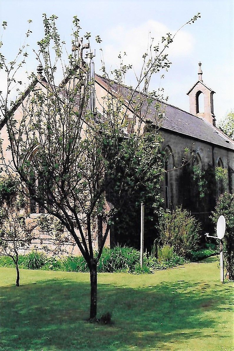
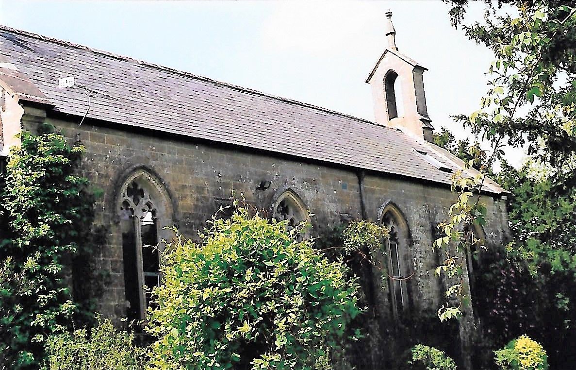
| Description | : | St James Church, Chedington, West Dorset was made redundant in 1980 and subsequently deconsecrated. Built in 1841 on a site just to the south of the original church, the building was in service for less than 140 years, it’s bell was dismounted and the internal fixtures removed. It has since been converted into a private dwelling with no public access. The churchyard cemetery was in two parts – one part with the original church building no longer there which lies about 50 metres to the north-east of the existing building. The second part lies around the existing building. After... Read More |
frequently asked questions (FAQ):
-
Where is St James Cemetery?
St James Cemetery is located at Chedington, West Dorset District ,Dorset ,England.
-
St James Cemetery cemetery's updated grave count on graveviews.com?
98 memorials
-
Where are the coordinates of the St James Cemetery?
Latitude: 50.8473070
Longitude: -2.7275580
Nearby Cemetories:
1. Saint Mary's Church
Mosterton, West Dorset District, England
Coordinate: 50.8466690, -2.7723670
2. St. Mary's Churchyard
Corscombe, West Dorset District, England
Coordinate: 50.8413300, -2.6797630
3. Misterton Cemetery
Misterton, South Somerset District, England
Coordinate: 50.8684960, -2.7687390
4. Holy Trinity Churchyard
Beaminster, West Dorset District, England
Coordinate: 50.8125230, -2.7376500
5. St Martin's Churchyard
North Perrott, South Somerset District, England
Coordinate: 50.8828270, -2.7518080
6. St Mary of the Annunciation Churchyard
Beaminster, West Dorset District, England
Coordinate: 50.8085130, -2.7409170
7. Saint Leonards Churchyard
Misterton, South Somerset District, England
Coordinate: 50.8698905, -2.7795252
8. Parnham House
Beaminster, West Dorset District, England
Coordinate: 50.7995080, -2.7418580
9. St. Michael and All Angels Churchyard
Haselbury Plucknett, South Somerset District, England
Coordinate: 50.8954140, -2.7531080
10. St. Mary's Churchyard
Halstock, West Dorset District, England
Coordinate: 50.8703000, -2.6555900
11. St John the Baptist Churchyard
Broadwindsor, West Dorset District, England
Coordinate: 50.8205790, -2.7996230
12. Saint John Churchyard
Seaborough, West Dorset District, England
Coordinate: 50.8502200, -2.8112800
13. All Saints Churchyard
Mapperton, West Dorset District, England
Coordinate: 50.7943046, -2.7060315
14. Townsend Cemetery
Crewkerne, South Somerset District, England
Coordinate: 50.8823800, -2.7952100
15. St Mary Churchyard
Netherbury, West Dorset District, England
Coordinate: 50.7922890, -2.7529110
16. St Bartholomew Churchyard
Crewkerne, South Somerset District, England
Coordinate: 50.8851640, -2.7981790
17. St Marys Churchyard
Hardington Mandeville, South Somerset District, England
Coordinate: 50.9046300, -2.6954050
18. St. Giles' Churchyard
Hooke, West Dorset District, England
Coordinate: 50.7991490, -2.6606080
19. St Michaels Cemetery
Melplash, West Dorset District, England
Coordinate: 50.7832180, -2.7306110
20. St Andrew Churchyard
Burstock, West Dorset District, England
Coordinate: 50.8228330, -2.8216970
21. St. Margaret's Churchyard
Middle Chinnock, South Somerset District, England
Coordinate: 50.9151370, -2.7522120
22. St. Mary's Churchyard
East Chinnock, South Somerset District, England
Coordinate: 50.9164240, -2.7145142
23. St Michael and All Angels Churchyard
Rampisham, West Dorset District, England
Coordinate: 50.8177970, -2.6236380
24. Christ's Churchyard
Melplash, West Dorset District, England
Coordinate: 50.7751300, -2.7324000