
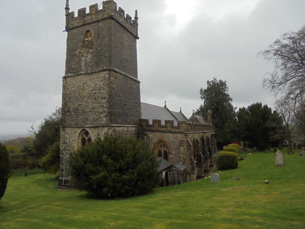
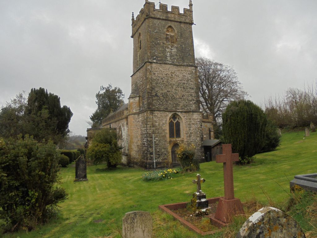
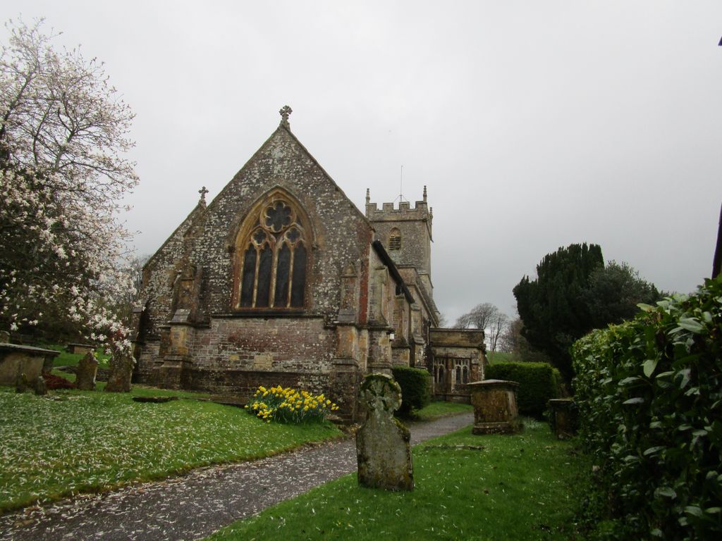
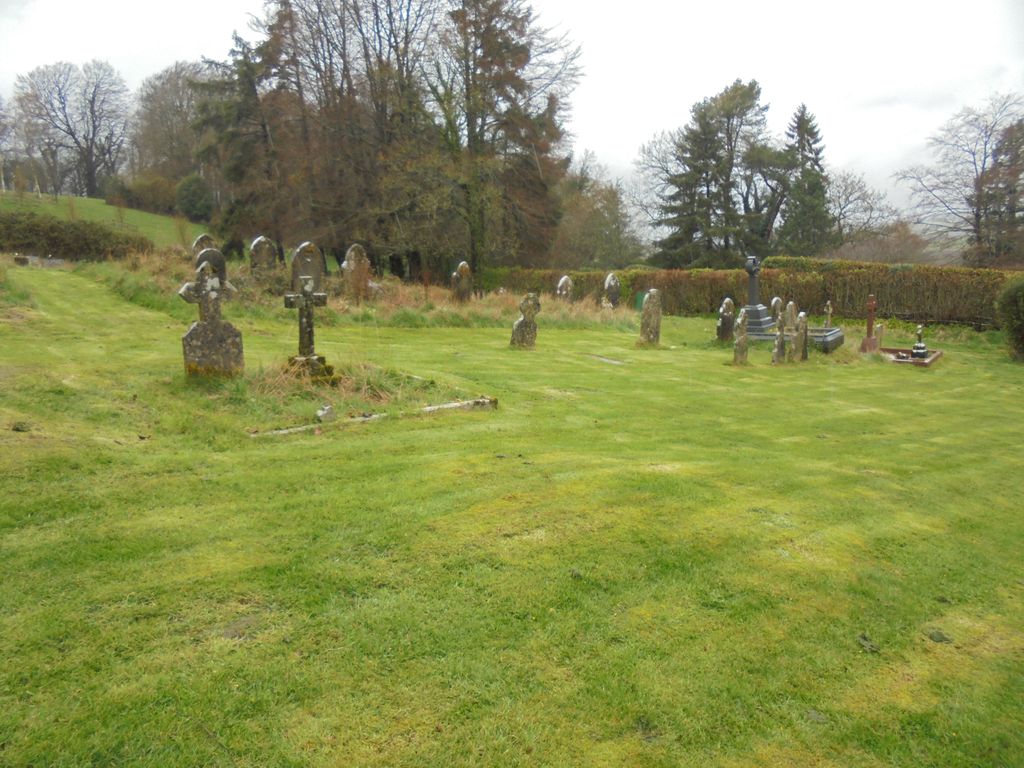
| Memorials | : | 0 |
| Location | : | Corscombe, West Dorset District, England |
| Coordinate | : | 50.8413300, -2.6797630 |
frequently asked questions (FAQ):
-
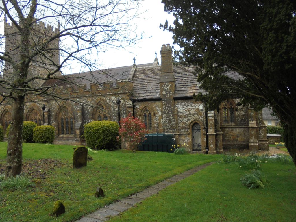
Where is St. Mary's Churchyard?
St. Mary's Churchyard is located at Ford Lane Corscombe, West Dorset District ,Dorset , DT2 0NUEngland.
-
St. Mary's Churchyard cemetery's updated grave count on graveviews.com?
0 memorials
-
Where are the coordinates of the St. Mary's Churchyard?
Latitude: 50.8413300
Longitude: -2.6797630
Nearby Cemetories:
1. St James Cemetery
Chedington, West Dorset District, England
Coordinate: 50.8473070, -2.7275580
2. St. Mary's Churchyard
Halstock, West Dorset District, England
Coordinate: 50.8703000, -2.6555900
3. St Michael and All Angels Churchyard
Rampisham, West Dorset District, England
Coordinate: 50.8177970, -2.6236380
4. St. Giles' Churchyard
Hooke, West Dorset District, England
Coordinate: 50.7991490, -2.6606080
5. St. Osmund's Churchyard
Evershot, West Dorset District, England
Coordinate: 50.8383970, -2.6082280
6. Holy Trinity Churchyard
Beaminster, West Dorset District, England
Coordinate: 50.8125230, -2.7376500
7. All Saints Churchyard
Mapperton, West Dorset District, England
Coordinate: 50.7943046, -2.7060315
8. St Mary's Chapel
Melbury Sampford, West Dorset District, England
Coordinate: 50.8515000, -2.6022600
9. St Mary of the Annunciation Churchyard
Beaminster, West Dorset District, England
Coordinate: 50.8085130, -2.7409170
10. St. Osmond's Churchyard
Melbury Osmond, West Dorset District, England
Coordinate: 50.8684120, -2.6067439
11. Parnham House
Beaminster, West Dorset District, England
Coordinate: 50.7995080, -2.7418580
12. Saint Mary's Church
Mosterton, West Dorset District, England
Coordinate: 50.8466690, -2.7723670
13. St Martin's Churchyard
North Perrott, South Somerset District, England
Coordinate: 50.8828270, -2.7518080
14. Misterton Cemetery
Misterton, South Somerset District, England
Coordinate: 50.8684960, -2.7687390
15. Saint Roch Church Churchyard
South Somerset District, England
Coordinate: 50.8923000, -2.6198000
16. St Marys Churchyard
Hardington Mandeville, South Somerset District, England
Coordinate: 50.9046300, -2.6954050
17. St Michaels Cemetery
Melplash, West Dorset District, England
Coordinate: 50.7832180, -2.7306110
18. St Mary Churchyard
Netherbury, West Dorset District, England
Coordinate: 50.7922890, -2.7529110
19. St. Michael and All Angels Churchyard
East Coker, South Somerset District, England
Coordinate: 50.9073181, -2.6572940
20. St. Mary the Virgin
Melbury Bubb, West Dorset District, England
Coordinate: 50.8571090, -2.5751350
21. Saint Leonards Churchyard
Misterton, South Somerset District, England
Coordinate: 50.8698905, -2.7795252
22. East Coker Cemetery
East Coker, South Somerset District, England
Coordinate: 50.9104300, -2.6546930
23. St. Michael and All Angels Churchyard
Haselbury Plucknett, South Somerset District, England
Coordinate: 50.8954140, -2.7531080
24. Christ's Churchyard
Melplash, West Dorset District, England
Coordinate: 50.7751300, -2.7324000