
| Memorials | : | 10 |
| Location | : | Hooke, West Dorset District, England |
| Coordinate | : | 50.7991490, -2.6606080 |
frequently asked questions (FAQ):
-
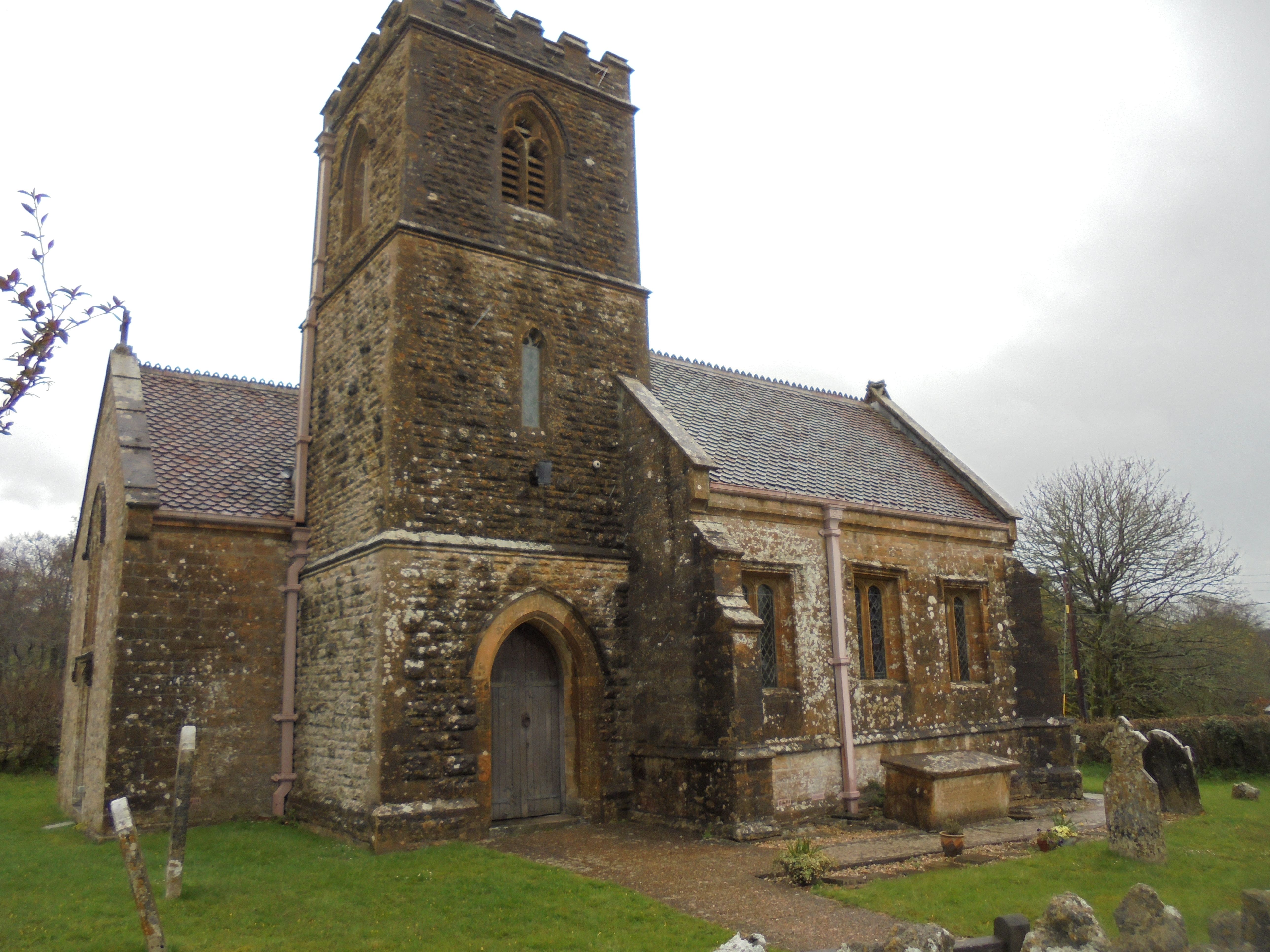
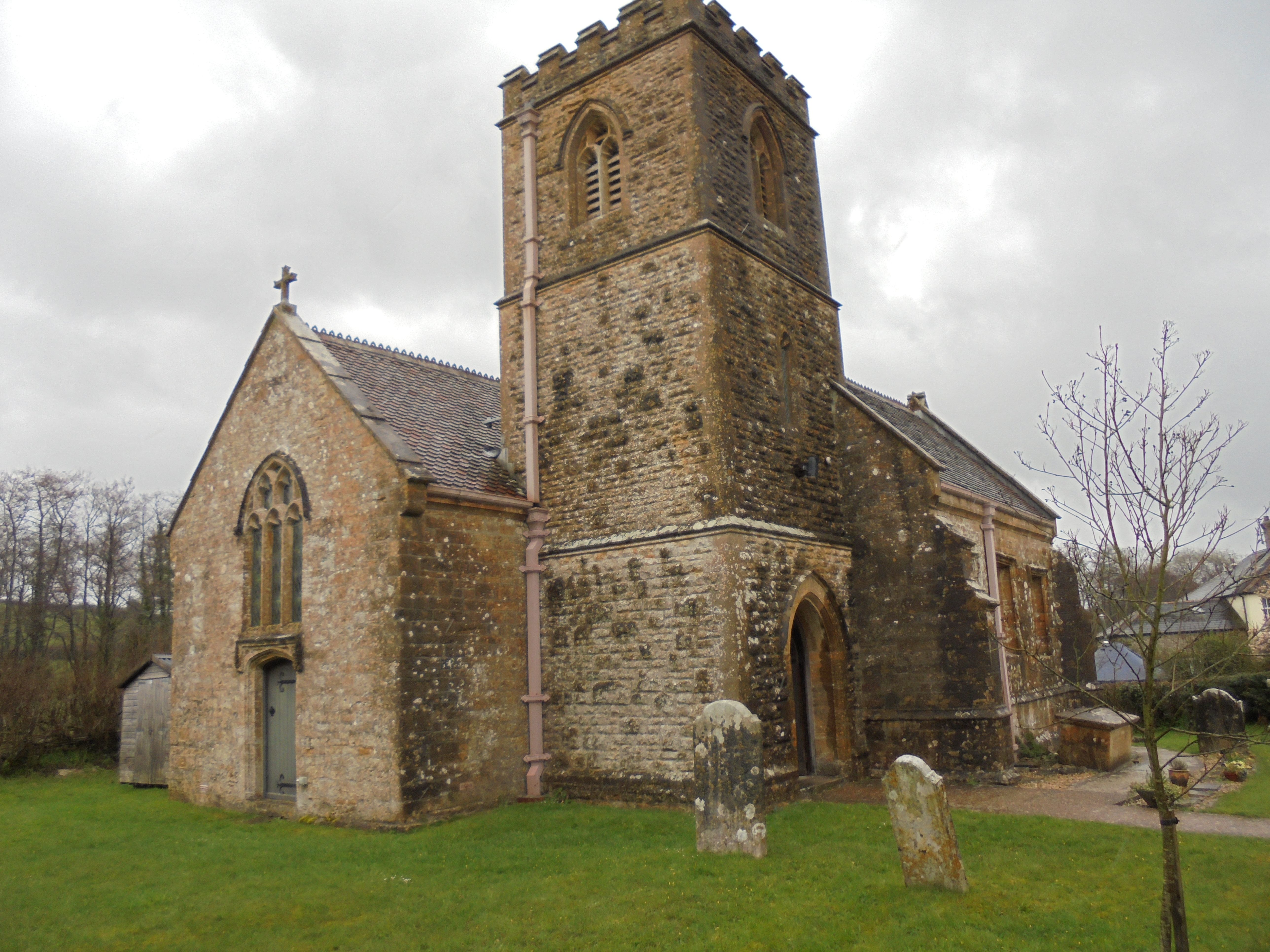
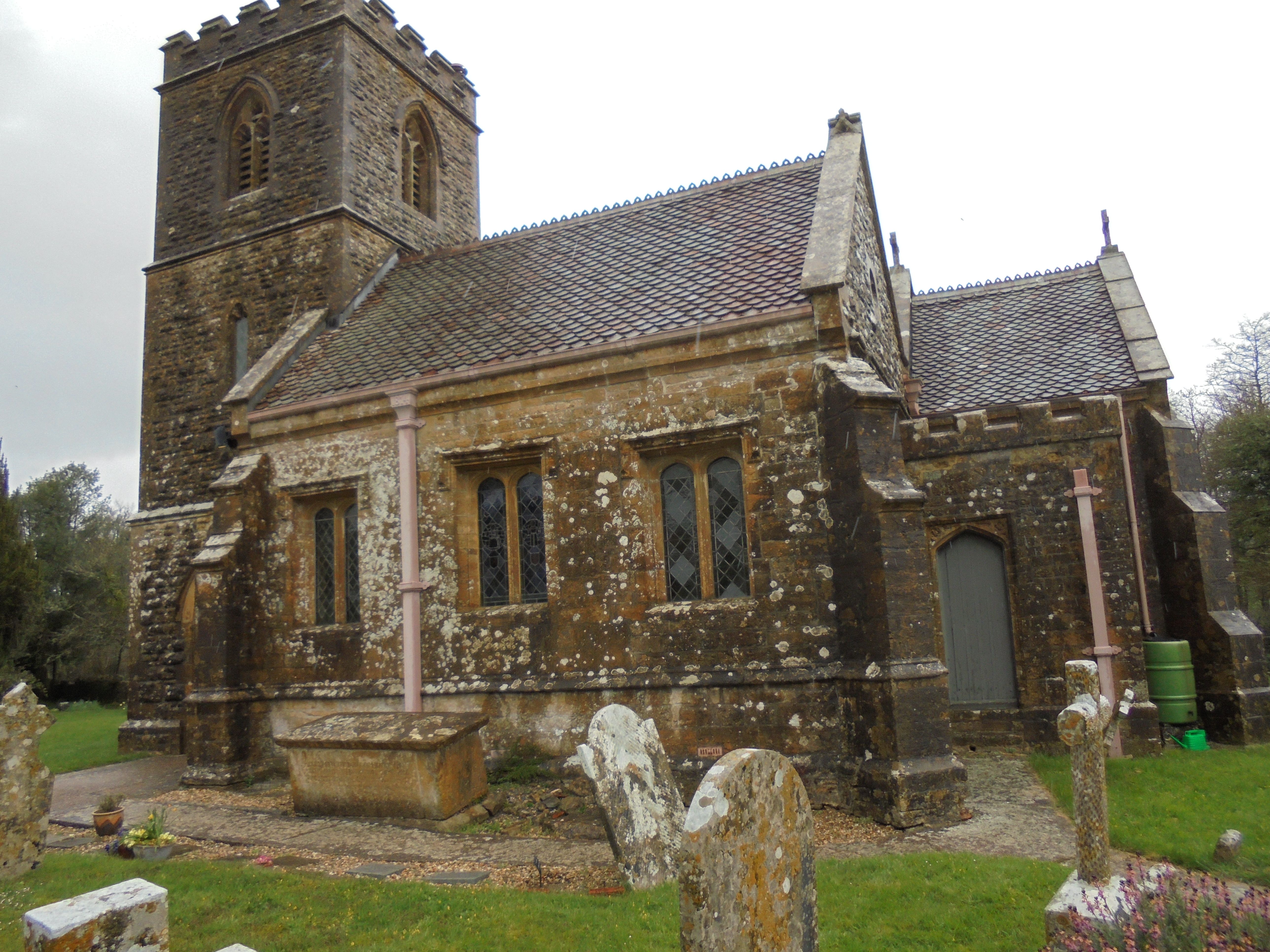
Where is St. Giles' Churchyard?
St. Giles' Churchyard is located at Hooke, West Dorset District ,Dorset , DT8 3PAEngland.
-
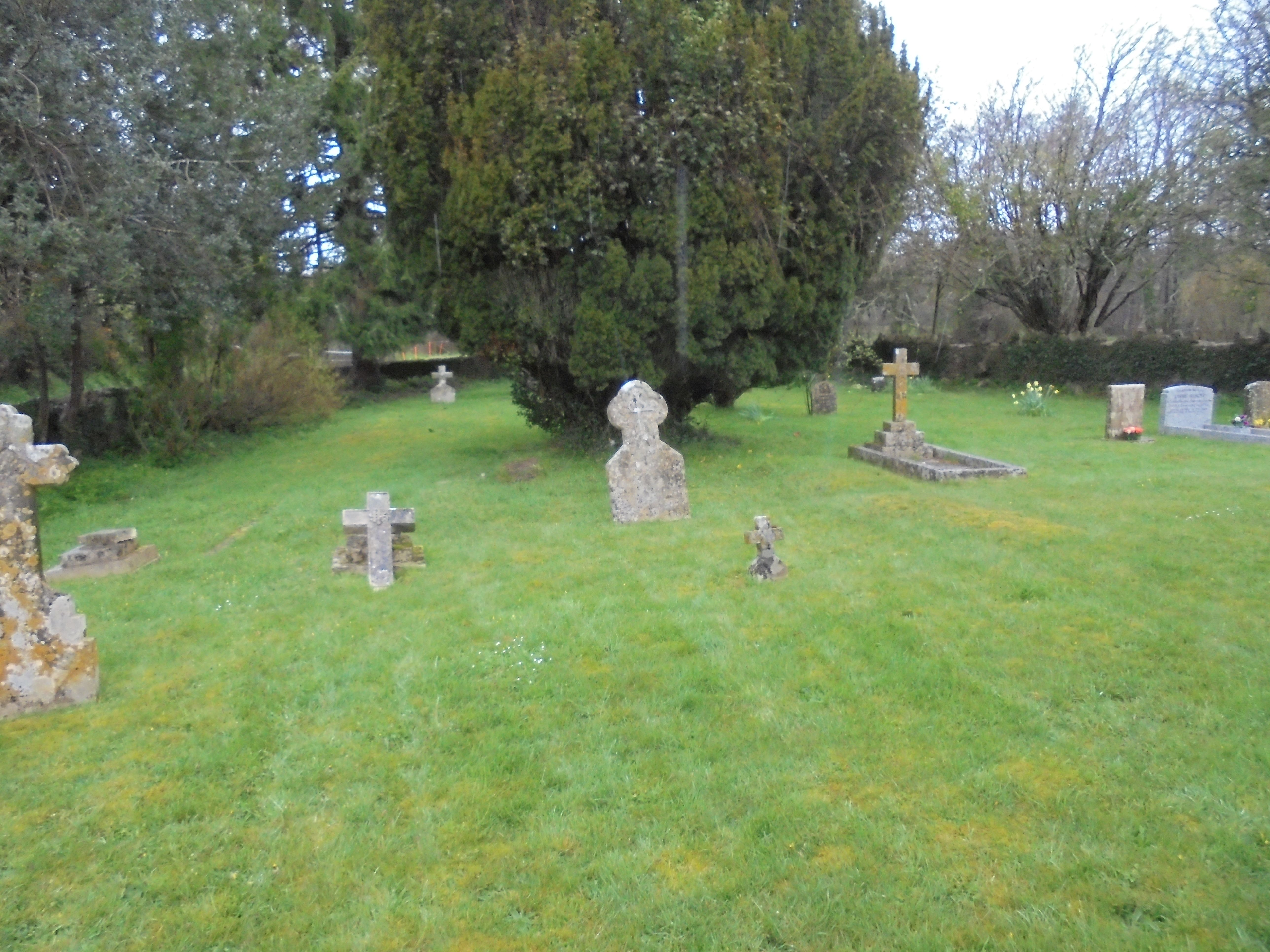
St. Giles' Churchyard cemetery's updated grave count on graveviews.com?
10 memorials
-
Where are the coordinates of the St. Giles' Churchyard?
Latitude: 50.7991490
Longitude: -2.6606080

Nearby Cemetories:
1. All Saints Churchyard
Mapperton, West Dorset District, England
Coordinate: 50.7943046, -2.7060315
2. St Michael and All Angels Churchyard
Rampisham, West Dorset District, England
Coordinate: 50.8177970, -2.6236380
3. St. Mary the Virgin Churchyard
Powerstock, West Dorset District, England
Coordinate: 50.7632920, -2.6863210
4. St. Mary's Churchyard
Corscombe, West Dorset District, England
Coordinate: 50.8413300, -2.6797630
5. St Michaels Cemetery
Melplash, West Dorset District, England
Coordinate: 50.7832180, -2.7306110
6. Holy Trinity Churchyard
Beaminster, West Dorset District, England
Coordinate: 50.8125230, -2.7376500
7. St. Peter and St. Paul Churchyard
Cattistock, West Dorset District, England
Coordinate: 50.7939600, -2.5810920
8. Holy Trinity Churchyard
Chilfrome, West Dorset District, England
Coordinate: 50.7874620, -2.5823870
9. St. Osmund's Churchyard
Evershot, West Dorset District, England
Coordinate: 50.8383970, -2.6082280
10. Christ's Churchyard
Melplash, West Dorset District, England
Coordinate: 50.7751300, -2.7324000
11. Parnham House
Beaminster, West Dorset District, England
Coordinate: 50.7995080, -2.7418580
12. St Mary of the Annunciation Churchyard
Beaminster, West Dorset District, England
Coordinate: 50.8085130, -2.7409170
13. St. Mary's Churchyard
Maiden Newton, West Dorset District, England
Coordinate: 50.7791380, -2.5739770
14. St Mary Churchyard
Netherbury, West Dorset District, England
Coordinate: 50.7922890, -2.7529110
15. The Church of St Francis
Frome Vauchurch, West Dorset District, England
Coordinate: 50.7730030, -2.5691890
16. St Mary's Chapel
Melbury Sampford, West Dorset District, England
Coordinate: 50.8515000, -2.6022600
17. St James Cemetery
Chedington, West Dorset District, England
Coordinate: 50.8473070, -2.7275580
18. St Mary Magdalene Churchyard
Loders, West Dorset District, England
Coordinate: 50.7458420, -2.7226110
19. St. Michael and All Angels Churchyard
Askerswell, West Dorset District, England
Coordinate: 50.7309450, -2.6675050
20. St. Mary's Churchyard
Halstock, West Dorset District, England
Coordinate: 50.8703000, -2.6555900
21. Holy Trinity Churchyard
Bradpole, West Dorset District, England
Coordinate: 50.7458520, -2.7378410
22. St. Osmond's Churchyard
Melbury Osmond, West Dorset District, England
Coordinate: 50.8684120, -2.6067439
23. St. Mary the Virgin
Melbury Bubb, West Dorset District, England
Coordinate: 50.8571090, -2.5751350
24. St Thomas a Beckett Churchyard
Compton Valence, West Dorset District, England
Coordinate: 50.7372430, -2.5784400