
| Memorials | : | 0 |
| Location | : | Halstock, West Dorset District, England |
| Coordinate | : | 50.8703000, -2.6555900 |
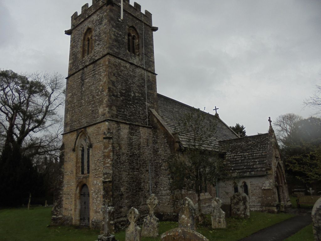
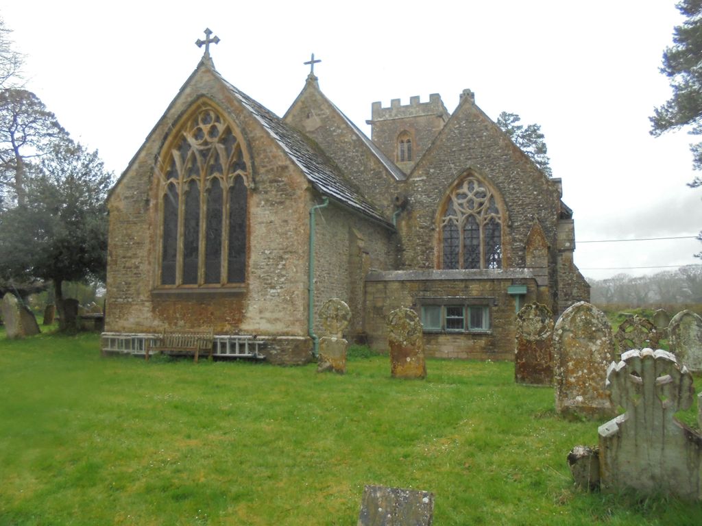
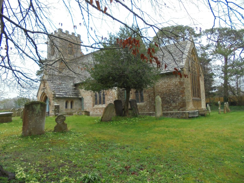
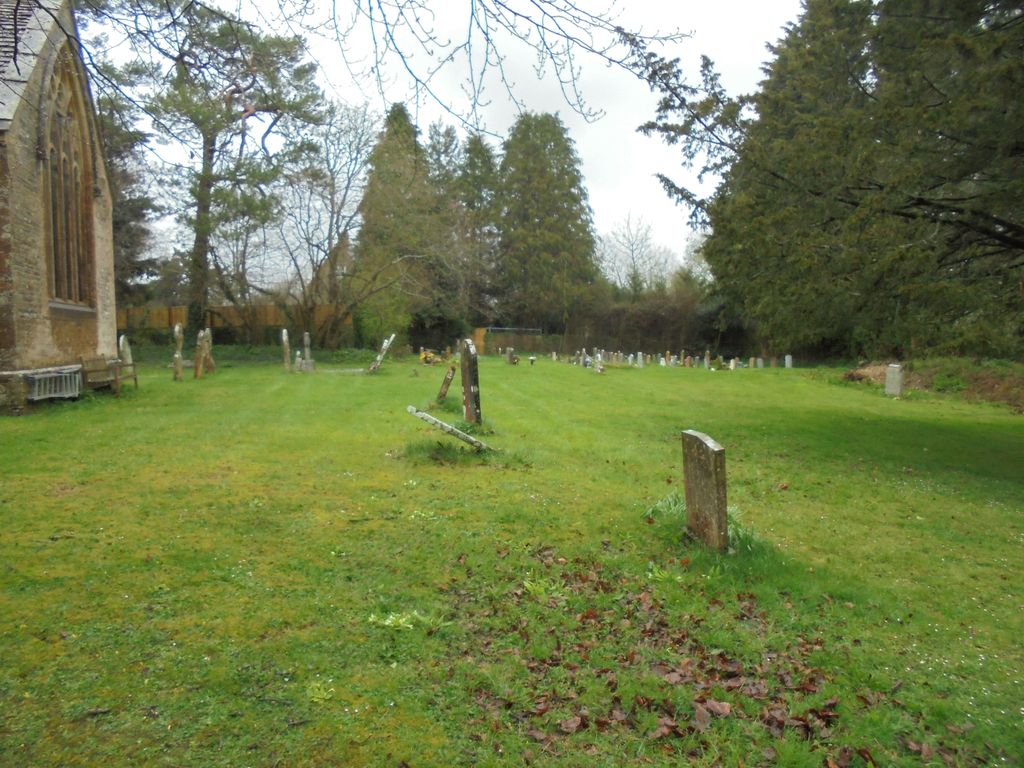
| Description | : | Currently known as St Juthware and St Mary. Halstock is a village and civil parish in the county of Dorset in southern England, situated in the West Dorset administrative district approximately 5 miles (8.0 km) south of Yeovil in Somerset. It lies on the route of the ancient Harrow Way. In the 2011 census the parish had a population of 546. Halstock formerly constituted a liberty, containing only the parish itself. It was the site of the martyrdom of Saint Juthwara, and a Romano-British Villa, excavated between 1967-1985. In July 2012, Halstock's Parish church of St Mary was rededicated by the Bishop of... Read More |
frequently asked questions (FAQ):
-
Where is St. Mary's Churchyard?
St. Mary's Churchyard is located at Halstock, West Dorset District ,Dorset ,England.
-
St. Mary's Churchyard cemetery's updated grave count on graveviews.com?
0 memorials
-
Where are the coordinates of the St. Mary's Churchyard?
Latitude: 50.8703000
Longitude: -2.6555900

Nearby Cemetories:
1. St. Osmond's Churchyard
Melbury Osmond, West Dorset District, England
Coordinate: 50.8684120, -2.6067439
2. Saint Roch Church Churchyard
South Somerset District, England
Coordinate: 50.8923000, -2.6198000
3. St. Mary's Churchyard
Corscombe, West Dorset District, England
Coordinate: 50.8413300, -2.6797630
4. St. Michael and All Angels Churchyard
East Coker, South Somerset District, England
Coordinate: 50.9073181, -2.6572940
5. St Mary's Chapel
Melbury Sampford, West Dorset District, England
Coordinate: 50.8515000, -2.6022600
6. East Coker Cemetery
East Coker, South Somerset District, England
Coordinate: 50.9104300, -2.6546930
7. St Marys Churchyard
Hardington Mandeville, South Somerset District, England
Coordinate: 50.9046300, -2.6954050
8. St. Osmund's Churchyard
Evershot, West Dorset District, England
Coordinate: 50.8383970, -2.6082280
9. St. Hippolytus Churchyard
Ryme Intrinseca, West Dorset District, England
Coordinate: 50.8956530, -2.5962310
10. St James Cemetery
Chedington, West Dorset District, England
Coordinate: 50.8473070, -2.7275580
11. St. Mary the Virgin
Melbury Bubb, West Dorset District, England
Coordinate: 50.8571090, -2.5751350
12. Barwick Extension Cemetery
Barwick, South Somerset District, England
Coordinate: 50.9225700, -2.6310700
13. Saint Mary Magdalene Church
Barwick, South Somerset District, England
Coordinate: 50.9225000, -2.6302000
14. St. Peter’s Churchyard
Chetnole, West Dorset District, England
Coordinate: 50.8718521, -2.5666604
15. St Michael and All Angels Churchyard
Rampisham, West Dorset District, England
Coordinate: 50.8177970, -2.6236380
16. St. Mary's Churchyard
East Chinnock, South Somerset District, England
Coordinate: 50.9164240, -2.7145142
17. St Martin's Churchyard
North Perrott, South Somerset District, England
Coordinate: 50.8828270, -2.7518080
18. St. Michael’s Churchyard
Beer Hackett, West Dorset District, England
Coordinate: 50.9040180, -2.5703420
19. St. Michael and All Angels Churchyard
Haselbury Plucknett, South Somerset District, England
Coordinate: 50.8954140, -2.7531080
20. St Andrew's Churchyard
Brympton, South Somerset District, England
Coordinate: 50.9358500, -2.6855500
21. St Mary the Virgin Churchyard
Bradford Abbas, West Dorset District, England
Coordinate: 50.9264090, -2.5884500
22. St. Andrew's Churchyard
Leigh, West Dorset District, England
Coordinate: 50.8761580, -2.5443780
23. St. Giles' Churchyard
Hooke, West Dorset District, England
Coordinate: 50.7991490, -2.6606080
24. Misterton Cemetery
Misterton, South Somerset District, England
Coordinate: 50.8684960, -2.7687390