
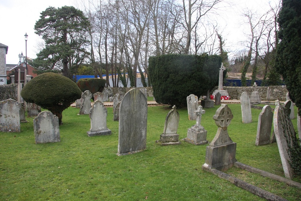
| Memorials | : | 22 |
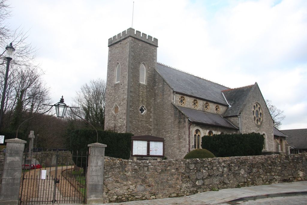
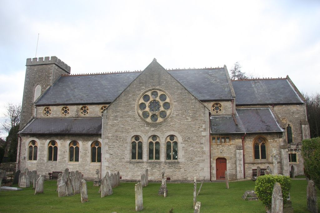
| Location | : | East Cowes, Isle of Wight Unitary Authority, England |
| Website | : | whippinghameastcowes.org.uk/st-james/ |
| Coordinate | : | 50.7579430, -1.2861300 |
frequently asked questions (FAQ):
-
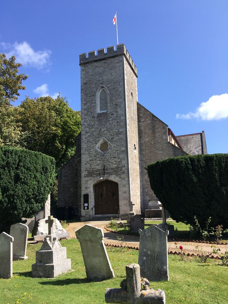
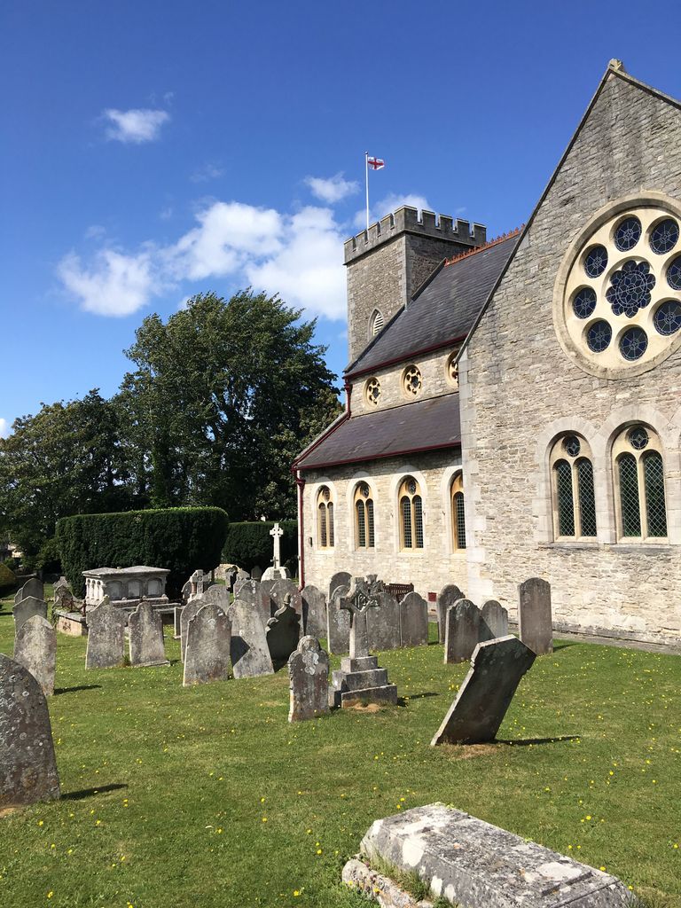
Where is St James Churchyard?
St James Churchyard is located at Church Lane, off Well Road East Cowes, Isle of Wight Unitary Authority ,Isle of Wight , PO32 6RPEngland.
-
St James Churchyard cemetery's updated grave count on graveviews.com?
22 memorials
-
Where are the coordinates of the St James Churchyard?
Latitude: 50.7579430
Longitude: -1.2861300
Nearby Cemetories:
1. East Cowes Cemetery
East Cowes, Isle of Wight Unitary Authority, England
Coordinate: 50.7502300, -1.2876600
2. St Mary's Churchyard
Cowes, Isle of Wight Unitary Authority, England
Coordinate: 50.7629580, -1.3015790
3. Northwood Cemetery
Cowes, Isle of Wight Unitary Authority, England
Coordinate: 50.7513700, -1.3003600
4. Holy Trinity Churchyard
Cowes, Isle of Wight Unitary Authority, England
Coordinate: 50.7661800, -1.3024540
5. St. Mildred's Churchyard
Whippingham, Isle of Wight Unitary Authority, England
Coordinate: 50.7398230, -1.2768350
6. St John the Baptist Church
Northwood, Isle of Wight Unitary Authority, England
Coordinate: 50.7340380, -1.3023130
7. Isle of Wight Crematorium
Whippingham, Isle of Wight Unitary Authority, England
Coordinate: 50.7217910, -1.2573910
8. St. Edmund's Churchyard
Wootton, Isle of Wight Unitary Authority, England
Coordinate: 50.7308220, -1.2344490
9. Parkhurst Prison Cemetery
Newport, Isle of Wight Unitary Authority, England
Coordinate: 50.7152100, -1.3082790
10. Isle of Wight Workhouse Burial Ground
Carisbrooke, Isle of Wight Unitary Authority, England
Coordinate: 50.7112150, -1.2979810
11. St Paul's Cemetery
Newport, Isle of Wight Unitary Authority, England
Coordinate: 50.7072300, -1.2827400
12. Parkhurst Military Cemetery
Newport, Isle of Wight Unitary Authority, England
Coordinate: 50.7084440, -1.3044120
13. Newport Cemetery
Newport, Isle of Wight Unitary Authority, England
Coordinate: 50.7041360, -1.2887540
14. St Thomas Church
Newport, Isle of Wight Unitary Authority, England
Coordinate: 50.6997610, -1.2940130
15. Quarr Abbey
Binstead, Isle of Wight Unitary Authority, England
Coordinate: 50.7311862, -1.2034333
16. Quarr Old Abbey
Ryde, Isle of Wight Unitary Authority, England
Coordinate: 50.7310000, -1.1996000
17. Porchfield Congregational Cemetery
Porchfield, Isle of Wight Unitary Authority, England
Coordinate: 50.7190660, -1.3679770
18. Holy Cross Churchyard
Binstead, Isle of Wight Unitary Authority, England
Coordinate: 50.7320080, -1.1863070
19. Lee-On-Solent Memorial
Lee-on-the-Solent, Gosport Borough, England
Coordinate: 50.8045110, -1.2068440
20. St Peter's
Havenstreet, Isle of Wight Unitary Authority, England
Coordinate: 50.7095580, -1.2063290
21. Binstead Cemetery
Binstead, Isle of Wight Unitary Authority, England
Coordinate: 50.7264610, -1.1866180
22. Carisbrooke Cemetery
Carisbrooke, Isle of Wight Unitary Authority, England
Coordinate: 50.6882160, -1.3083040
23. Carisbrooke Priory
Carisbrooke, Isle of Wight Unitary Authority, England
Coordinate: 50.6859710, -1.3070000
24. Blackfield Cemetery
Blackfield, New Forest District, England
Coordinate: 50.8146700, -1.3756600