
| Memorials | : | 92 |
| Location | : | Eastnor, Herefordshire Unitary Authority, England |
| Coordinate | : | 52.0330980, -2.3932590 |
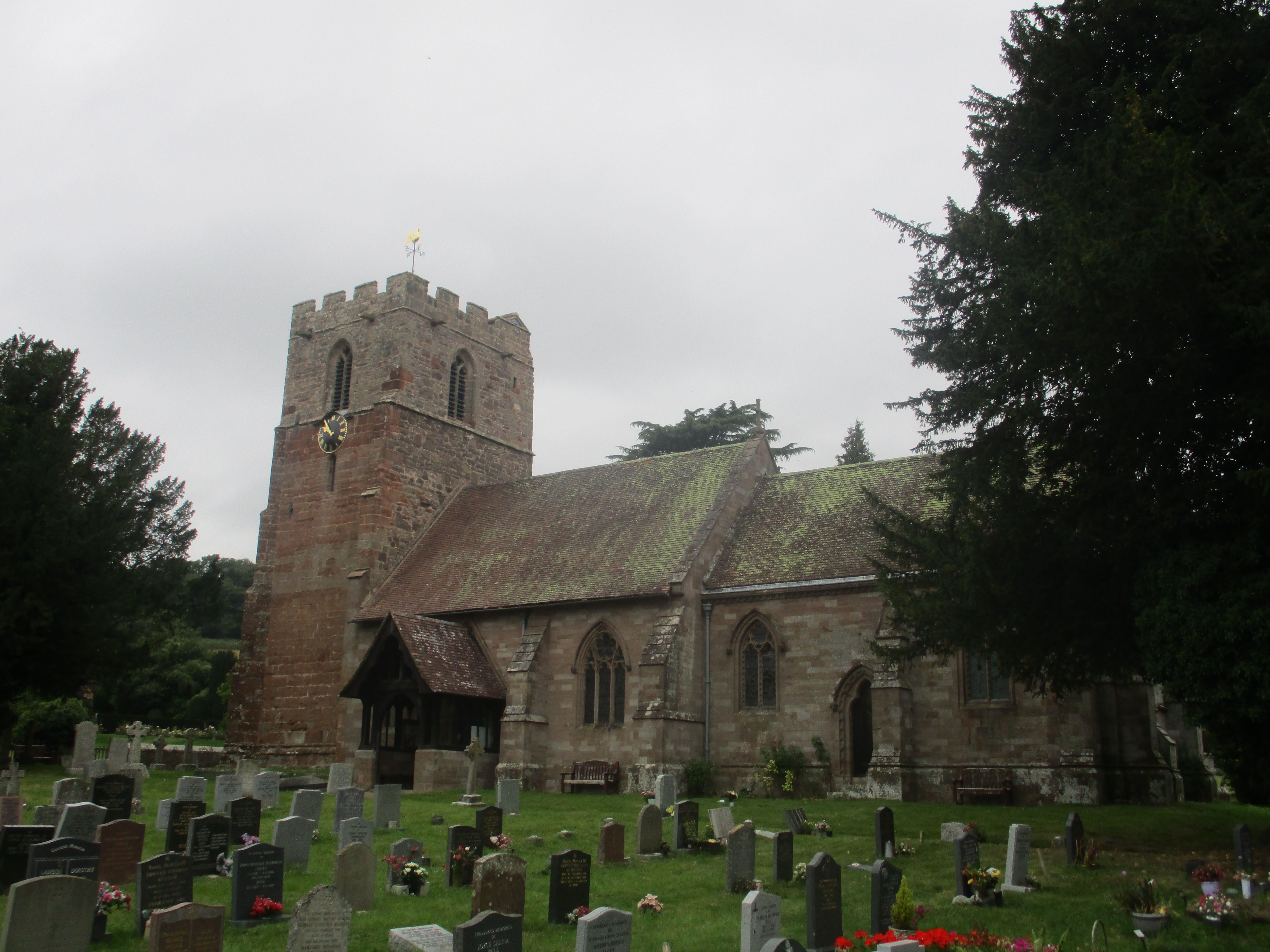
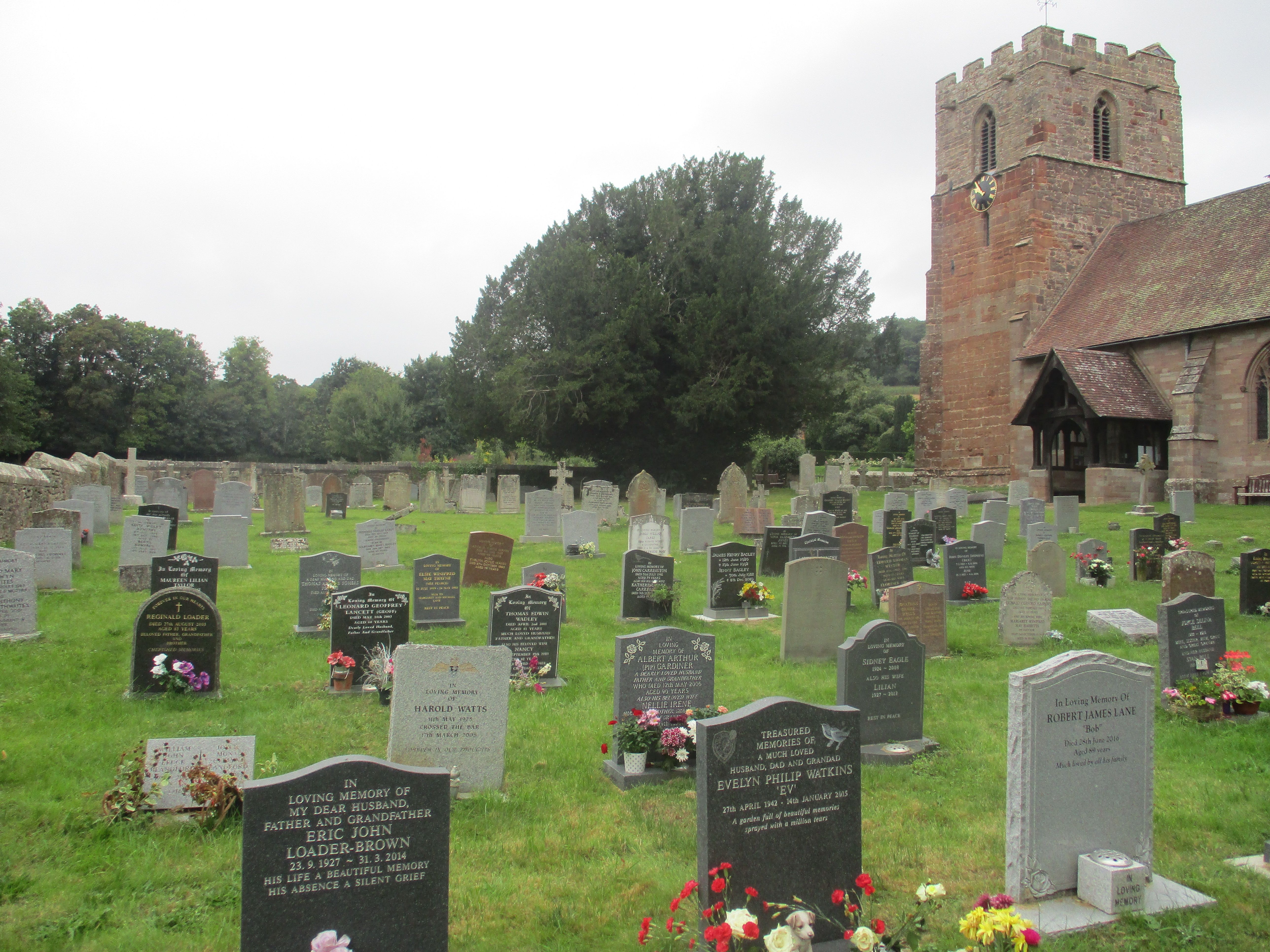
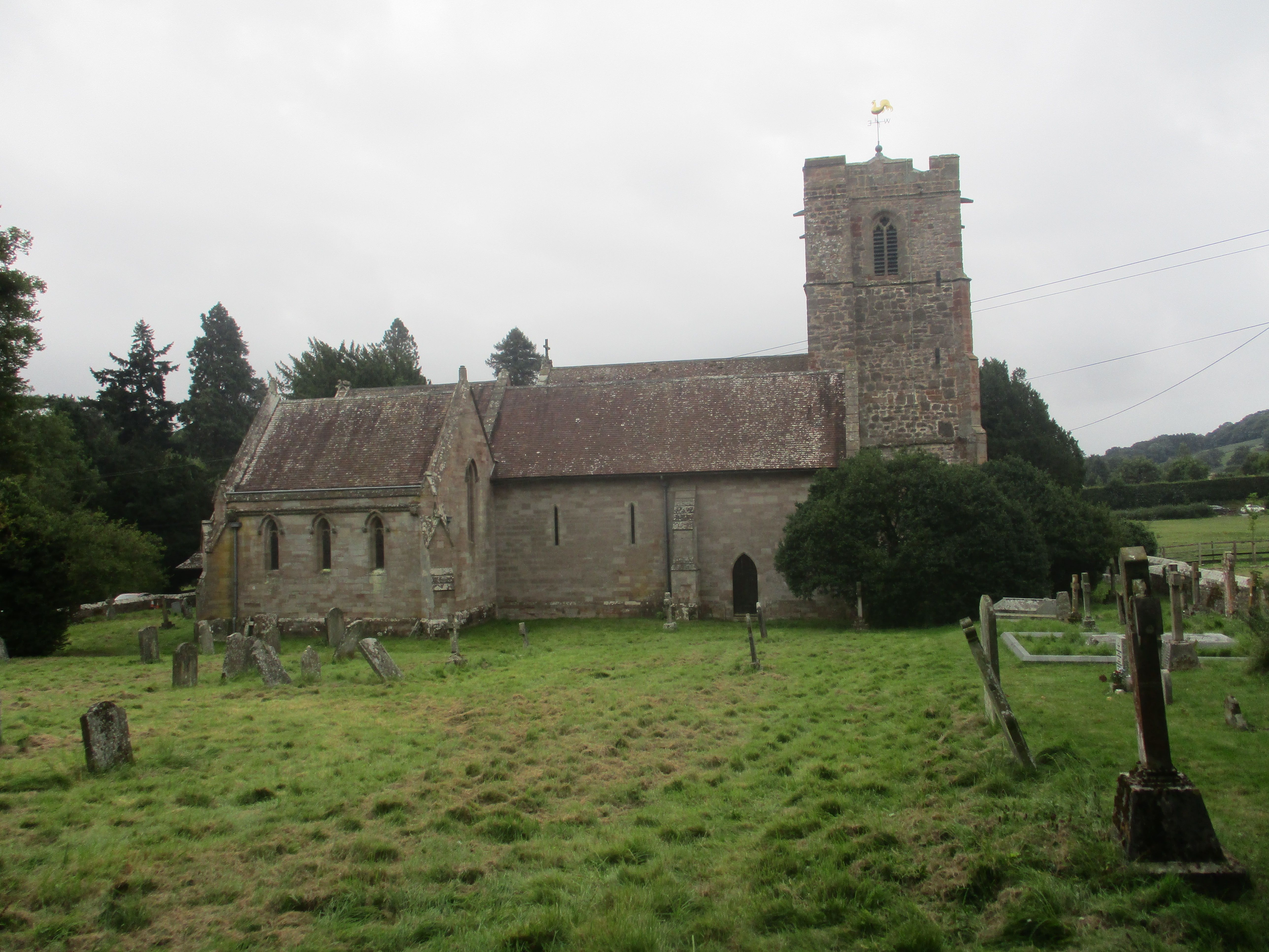
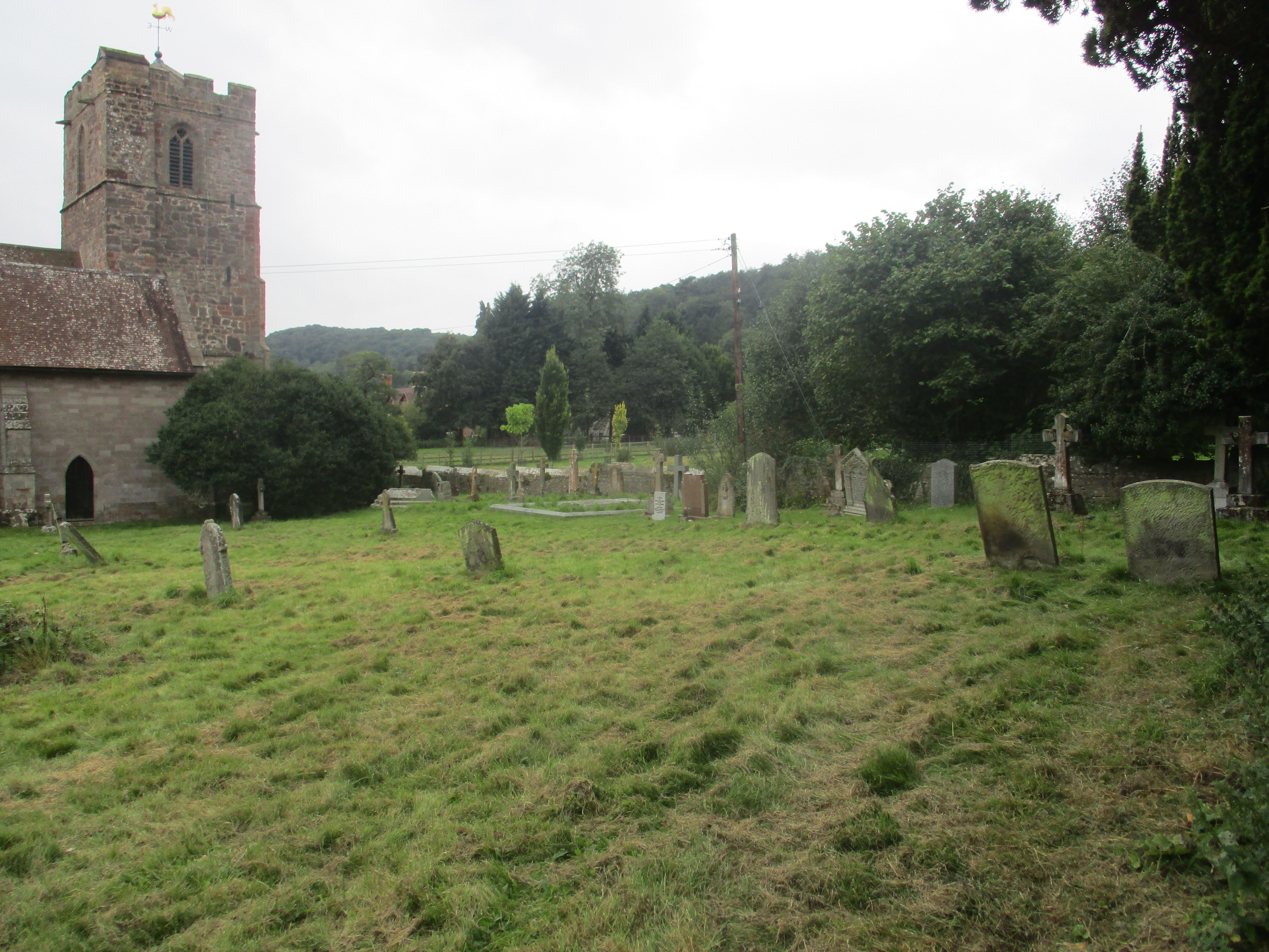
| Description | : | ============================================ The church building of St John the Baptist, Eastnor stands at the heart of the village, as witness to the Christian faith. The Church is of course not the building, but the group of Christians who gather there in the name of the Lord Jesus Christ for worship and prayer. But the building still speaks powerfully of the faith which has been at the centre of the community for centuries. It is believed there has been a church building at Eastnor on the present site since the 12th Century, though it is possible that an earlier wooden Saxon church... Read More |
frequently asked questions (FAQ):
-
Where is St. John the Baptist?
St. John the Baptist is located at Eastnor, Herefordshire Unitary Authority ,Herefordshire ,England.
-
St. John the Baptist cemetery's updated grave count on graveviews.com?
92 memorials
-
Where are the coordinates of the St. John the Baptist?
Latitude: 52.0330980
Longitude: -2.3932590
Nearby Cemetories:
1. St. Michael and All Angels Churchyard
Ledbury, Herefordshire Unitary Authority, England
Coordinate: 52.0369300, -2.4199360
2. Ledbury Cemetery
Ledbury, Herefordshire Unitary Authority, England
Coordinate: 52.0308400, -2.4331830
3. St Mary the Virgin Churchyard
Bromsberrow, Forest of Dean District, England
Coordinate: 52.0008740, -2.3768560
4. All Saints Churchyard
Hollybush, Malvern Hills District, England
Coordinate: 52.0282510, -2.3384140
5. Little Malvern Priory
Little Malvern, Malvern Hills District, England
Coordinate: 52.0612500, -2.3365800
6. St. James the Great Churchyard
Colwall, Herefordshire Unitary Authority, England
Coordinate: 52.0785300, -2.3821400
7. St. Wulstan Roman Catholic Churchyard
Little Malvern, Malvern Hills District, England
Coordinate: 52.0666050, -2.3356450
8. All Saints Churchyard
Coddington, Herefordshire Unitary Authority, England
Coordinate: 52.0820020, -2.4123970
9. St. Michael Churchyard
Little Marcle, Herefordshire Unitary Authority, England
Coordinate: 52.0265561, -2.4820253
10. St. Bartholomew's Churchyard
Redmarley, Forest of Dean District, England
Coordinate: 51.9795670, -2.3622700
11. St. Gregory Churchyard
Castlemorton, Malvern Hills District, England
Coordinate: 52.0332900, -2.3003800
12. St Peter's Churchyard
Malvern Wells, Malvern Hills District, England
Coordinate: 52.0783528, -2.3322165
13. Malvern Wells Cemetery
Malvern Wells, Malvern Hills District, England
Coordinate: 52.0779911, -2.3286663
14. St Mary's Churchyard
Dymock, Forest of Dean District, England
Coordinate: 51.9793264, -2.4376889
15. Welland Cemetery
Welland, Malvern Hills District, England
Coordinate: 52.0591625, -2.3021845
16. St Faith Churchyard
Berrow, Malvern Hills District, England
Coordinate: 52.0065770, -2.3018720
17. St. James Churchyard
Welland, Malvern Hills District, England
Coordinate: 52.0577700, -2.2974900
18. Holy Trinity Churchyard
Bosbury, Herefordshire Unitary Authority, England
Coordinate: 52.0885430, -2.4459180
19. St. Peter and St. Paul Churchyard
Birtsmorton, Malvern Hills District, England
Coordinate: 52.0176100, -2.2912600
20. St. John the Evangelist Churchyard
Pauntley, Forest of Dean District, England
Coordinate: 51.9588610, -2.3670030
21. Pendock Old Church
Pendock, Malvern Hills District, England
Coordinate: 52.0014720, -2.2679110
22. Pendock Churchyard
Pendock, Malvern Hills District, England
Coordinate: 52.0015108, -2.2678653
23. St. James's Churchyard
West Malvern, Malvern Hills District, England
Coordinate: 52.1127220, -2.3469830
24. Church of the Good Shepherd Churchyard
Malvern Hills District, England
Coordinate: 52.0632720, -2.2624630