
| Memorials | : | 0 |
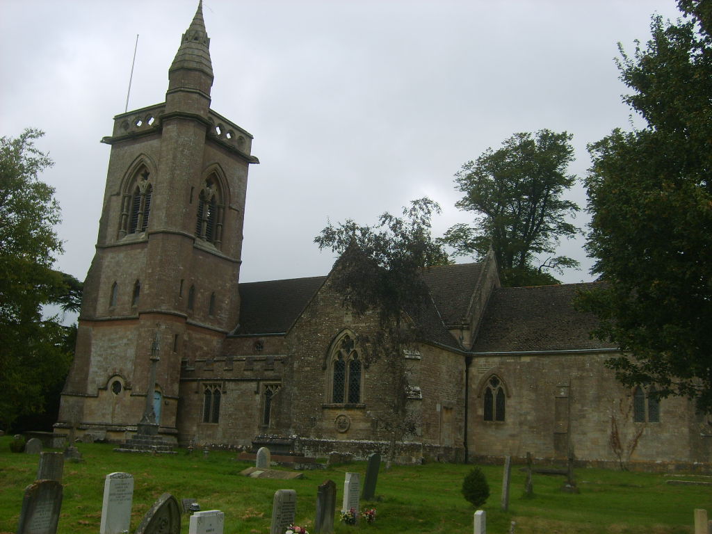
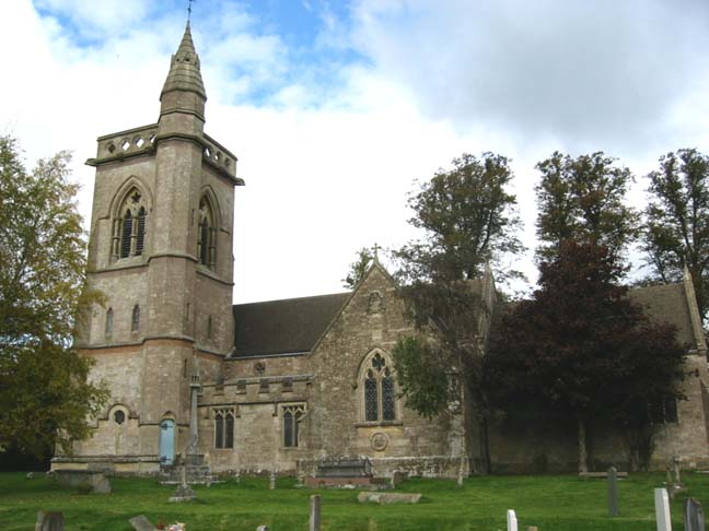
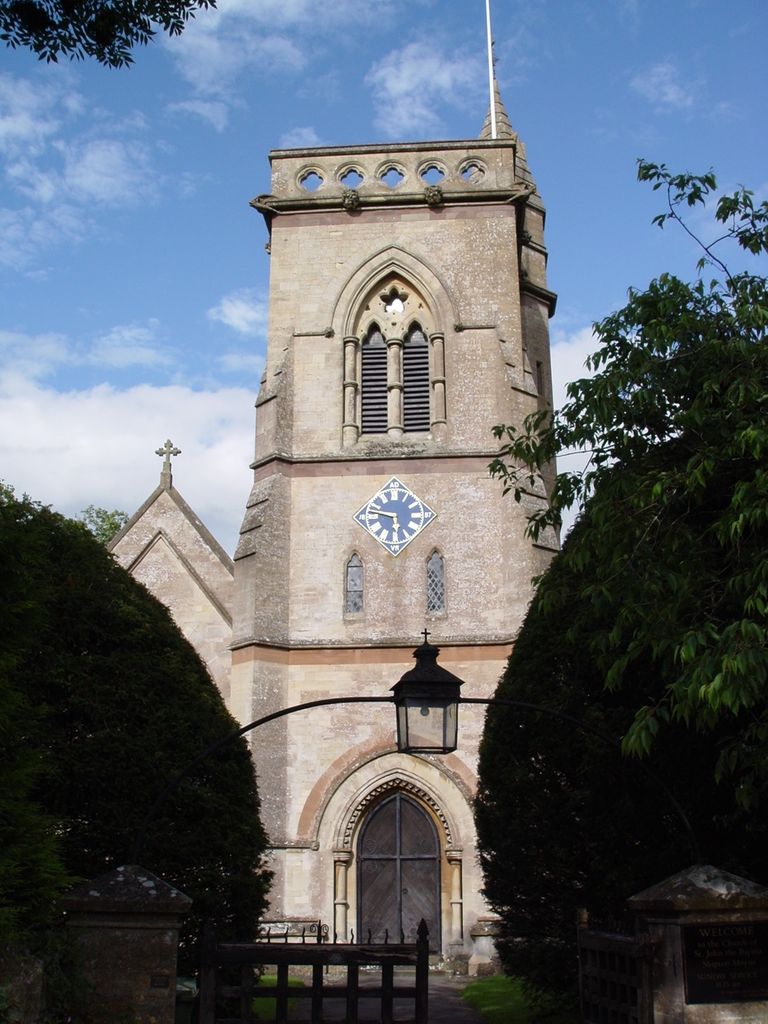
| Location | : | Shipton Moyne, Cotswold District, England |
| Coordinate | : | 51.6052510, -2.1571120 |
frequently asked questions (FAQ):
-
Where is St John The Baptist Churchyard?
St John The Baptist Churchyard is located at Shipton Moyne, Cotswold District ,Gloucestershire ,England.
-
St John The Baptist Churchyard cemetery's updated grave count on graveviews.com?
0 memorials
-
Where are the coordinates of the St John The Baptist Churchyard?
Latitude: 51.6052510
Longitude: -2.1571120
Nearby Cemetories:
1. St John the Baptist churchyard and extension
Brokenborough, Wiltshire Unitary Authority, England
Coordinate: 51.6022576, -2.1206102
2. Holy Trinity Churchyard
Long Newnton, Cotswold District, England
Coordinate: 51.6308420, -2.1321200
3. St Mary the Virgin and St Mary Magdalen Church
Tetbury, Cotswold District, England
Coordinate: 51.6356080, -2.1598860
4. St. Michael's Churchyard
Tetbury Upton, Cotswold District, England
Coordinate: 51.6359632, -2.1585792
5. St Saviours Churchyard
Tetbury, Cotswold District, England
Coordinate: 51.6380160, -2.1630450
6. St Mary the Virgin Churchyard
Beverston, Cotswold District, England
Coordinate: 51.6447450, -2.2013030
7. All Saints Churchyard
Corston, Wiltshire Unitary Authority, England
Coordinate: 51.5543570, -2.1085990
8. Leighterton Church Cemetery
Leighterton, Cotswold District, England
Coordinate: 51.6176900, -2.2518400
9. St. John the Baptist Churchyard
Charlton (North), Wiltshire Unitary Authority, England
Coordinate: 51.5995500, -2.0604800
10. All Saints Churchyard
Crudwell, Wiltshire Unitary Authority, England
Coordinate: 51.6349050, -2.0644280
11. St Giles Churchyard
Alderton, Wiltshire Unitary Authority, England
Coordinate: 51.5461670, -2.2294570
12. Holy Cross Churchyard
Avening, Cotswold District, England
Coordinate: 51.6806190, -2.1755620
13. St Peter Churchyard
Rodmarton, Cotswold District, England
Coordinate: 51.6812230, -2.0841920
14. St. John the Baptist Churchyard
Kingscote, Cotswold District, England
Coordinate: 51.6644230, -2.2640480
15. St Nicholas Churchyard
Ozleworth, Cotswold District, England
Coordinate: 51.6380070, -2.2986530
16. St Michael and All Angels Churchyard
Little Badminton, South Gloucestershire Unitary Authority, England
Coordinate: 51.5572610, -2.2888360
17. St Michael and All Angels Churchyard
Badminton, South Gloucestershire Unitary Authority, England
Coordinate: 51.5442200, -2.2800310
18. Minchinhampton Baptist Churchyard
Minchinhampton, Stroud District, England
Coordinate: 51.7039614, -2.1853756
19. Saint Michael's
Badminton, South Gloucestershire Unitary Authority, England
Coordinate: 51.5400900, -2.2818500
20. St. James the Great Churchyard
Dauntsey, Wiltshire Unitary Authority, England
Coordinate: 51.5411100, -2.0301400
21. Holy Trinity Churchyard
Minchinhampton, Stroud District, England
Coordinate: 51.7063600, -2.1860700
22. Hillesley Baptist Churchyard
Hillesley, Stroud District, England
Coordinate: 51.6054787, -2.3318073
23. St Mary Churchyard
Acton Turville, South Gloucestershire Unitary Authority, England
Coordinate: 51.5263850, -2.2775330
24. All Saints Church
Kemble, Cotswold District, England
Coordinate: 51.6711000, -2.0154000