
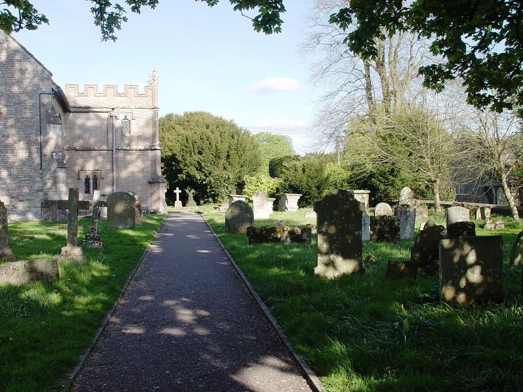
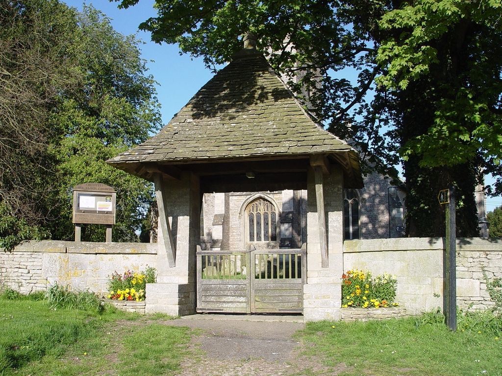
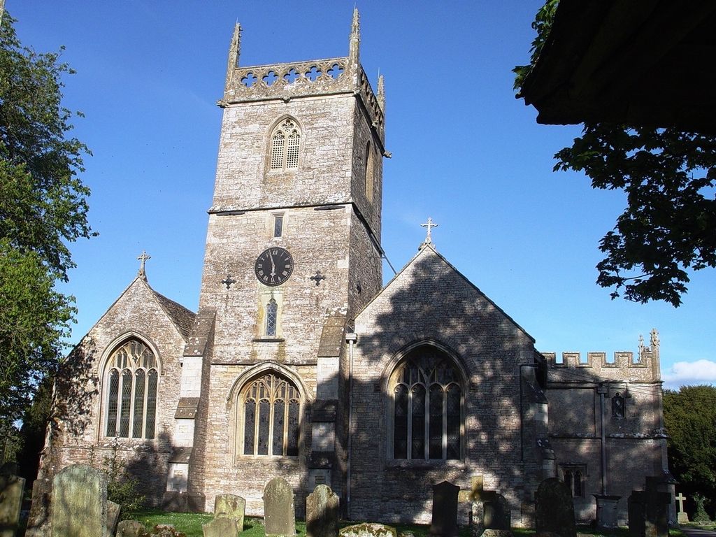
| Memorials | : | 0 |
| Location | : | Crudwell, Wiltshire Unitary Authority, England |
| Coordinate | : | 51.6349050, -2.0644280 |
frequently asked questions (FAQ):
-
Where is All Saints Churchyard?
All Saints Churchyard is located at Crudwell, Wiltshire Unitary Authority ,Wiltshire ,England.
-
All Saints Churchyard cemetery's updated grave count on graveviews.com?
0 memorials
-
Where are the coordinates of the All Saints Churchyard?
Latitude: 51.6349050
Longitude: -2.0644280
Nearby Cemetories:
1. St. John the Baptist Churchyard
Charlton (North), Wiltshire Unitary Authority, England
Coordinate: 51.5995500, -2.0604800
2. Holy Trinity Churchyard
Long Newnton, Cotswold District, England
Coordinate: 51.6308420, -2.1321200
3. All Saints Church
Kemble, Cotswold District, England
Coordinate: 51.6711000, -2.0154000
4. St John the Baptist churchyard and extension
Brokenborough, Wiltshire Unitary Authority, England
Coordinate: 51.6022576, -2.1206102
5. St Peter Churchyard
Rodmarton, Cotswold District, England
Coordinate: 51.6812230, -2.0841920
6. St. Michael's Churchyard
Tetbury Upton, Cotswold District, England
Coordinate: 51.6359632, -2.1585792
7. St Mary the Virgin and St Mary Magdalen Church
Tetbury, Cotswold District, England
Coordinate: 51.6356080, -2.1598860
8. St Saviours Churchyard
Tetbury, Cotswold District, England
Coordinate: 51.6380160, -2.1630450
9. St John The Baptist Churchyard
Shipton Moyne, Cotswold District, England
Coordinate: 51.6052510, -2.1571120
10. St Matthew Churchyard
Coates, Cotswold District, England
Coordinate: 51.7077470, -2.0411010
11. Holy Cross Churchyard
Ashton Keynes, Wiltshire Unitary Authority, England
Coordinate: 51.6479000, -1.9394000
12. Holy Cross Churchyard
Avening, Cotswold District, England
Coordinate: 51.6806190, -2.1755620
13. All Saints Churchyard
Corston, Wiltshire Unitary Authority, England
Coordinate: 51.5543570, -2.1085990
14. St Mary the Virgin Churchyard
Beverston, Cotswold District, England
Coordinate: 51.6447450, -2.2013030
15. Chesterton Cemetery
Cirencester, Cotswold District, England
Coordinate: 51.7099230, -1.9801340
16. All Hallows Churchyard
South Cerney, Cotswold District, England
Coordinate: 51.6748248, -1.9292083
17. St. Kenelm's Churchyard
Sapperton, Cotswold District, England
Coordinate: 51.7294000, -2.0775000
18. St. James the Great Churchyard
Dauntsey, Wiltshire Unitary Authority, England
Coordinate: 51.5411100, -2.0301400
19. Chalford Baptist Tabernacle Churchyard
Chalford, Stroud District, England
Coordinate: 51.7226610, -2.1443260
20. Minchinhampton Baptist Churchyard
Minchinhampton, Stroud District, England
Coordinate: 51.7039614, -2.1853756
21. St Bartholemew Church
Oakridge, Stroud District, England
Coordinate: 51.7291209, -2.1276180
22. St. John the Baptist Churchyard
Cirencester, Cotswold District, England
Coordinate: 51.7175600, -1.9678580
23. Holy Trinity Churchyard
Minchinhampton, Stroud District, England
Coordinate: 51.7063600, -2.1860700
24. Christ Church Churchyard
Chalford, Stroud District, England
Coordinate: 51.7214500, -2.1577900