
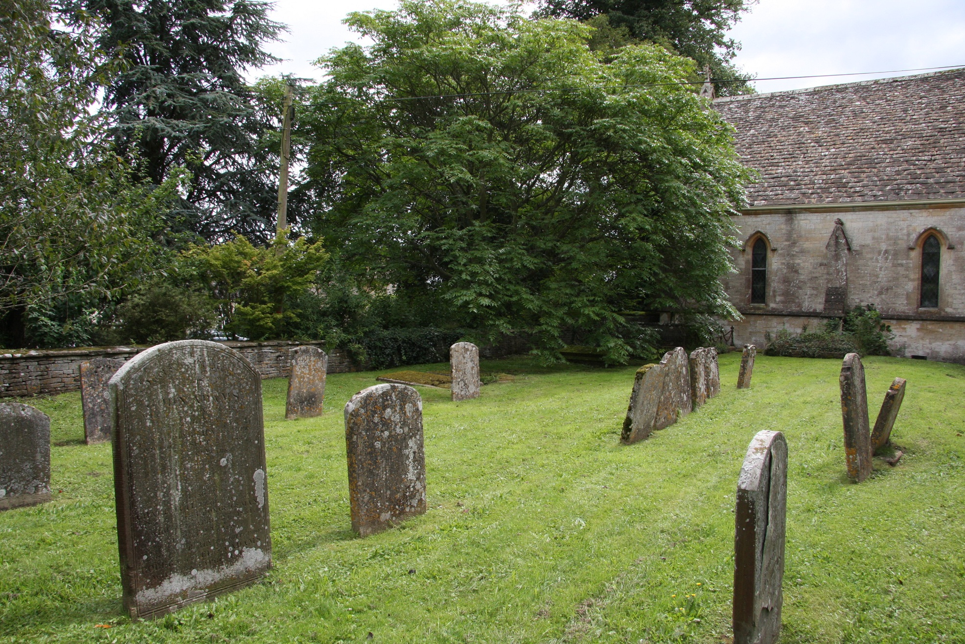
| Memorials | : | 32 |
| Location | : | Kemble, Cotswold District, England |
| Coordinate | : | 51.6711000, -2.0154000 |
frequently asked questions (FAQ):
-
Where is All Saints Church?
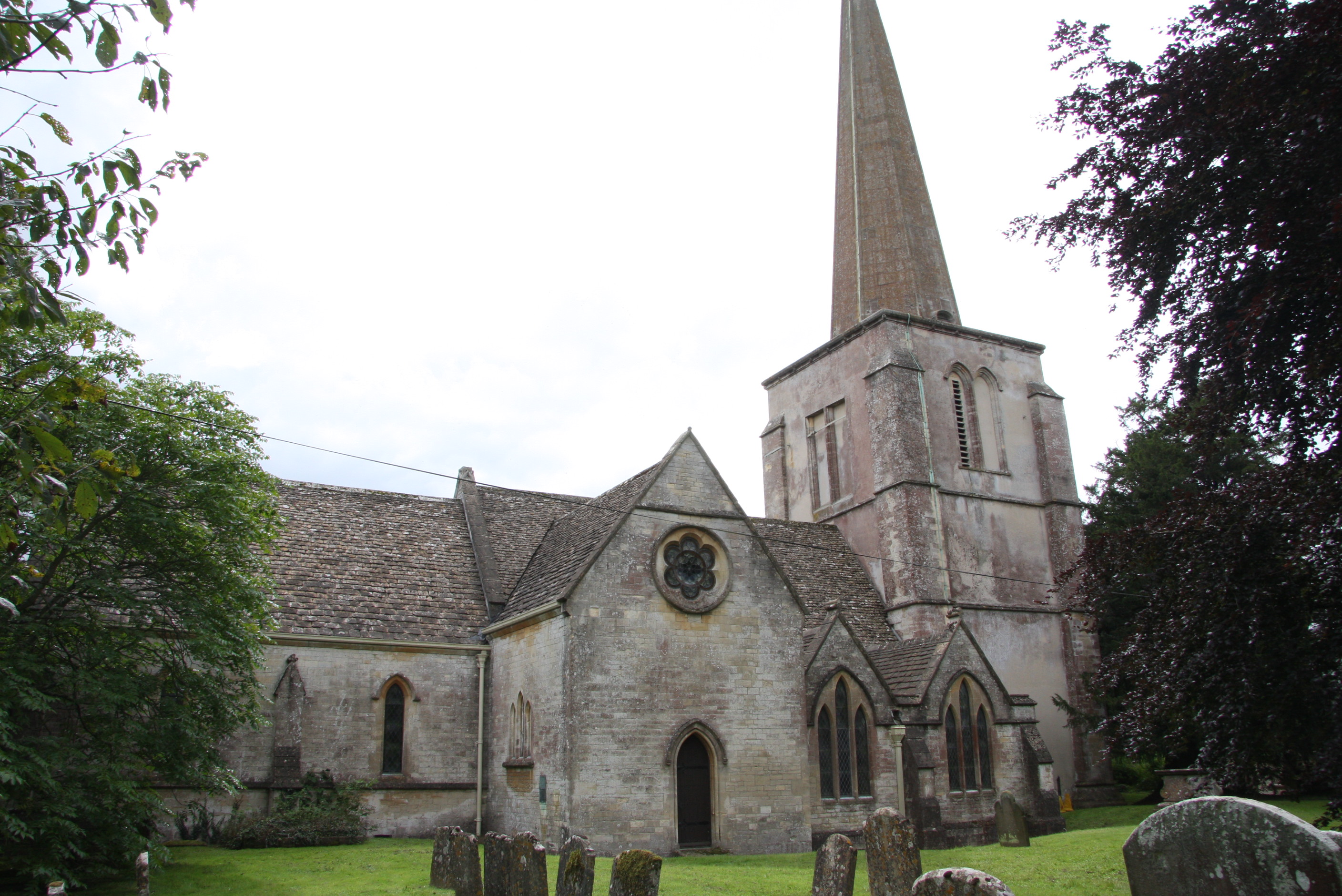
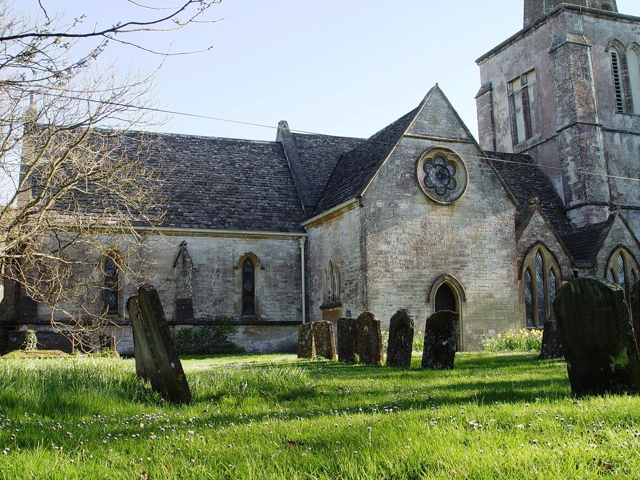
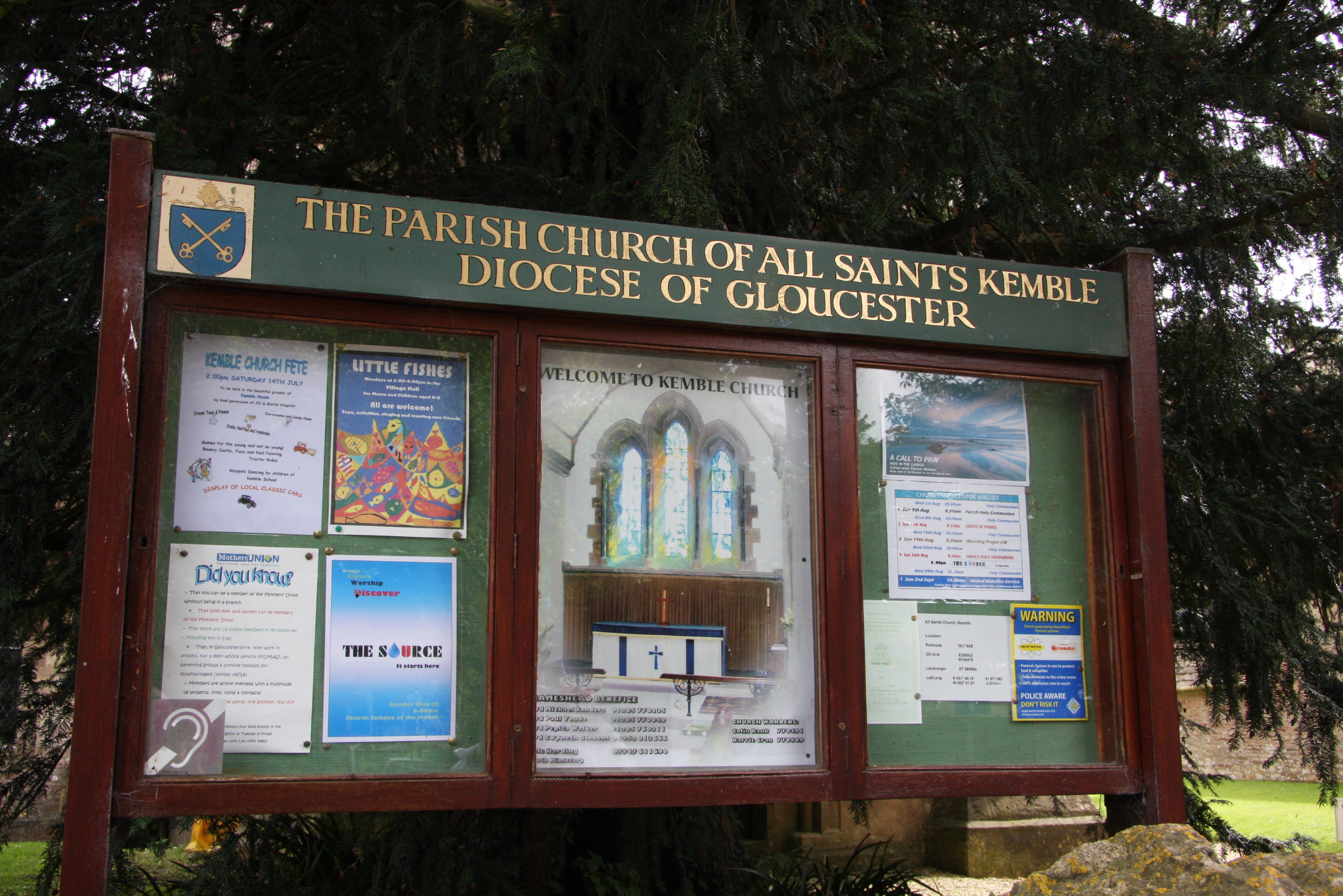
All Saints Church is located at Limes Road Kemble, Cotswold District ,Gloucestershire , GL7 6ADEngland.
-
All Saints Church cemetery's updated grave count on graveviews.com?
32 memorials
-
Where are the coordinates of the All Saints Church?
Latitude: 51.6711000
Longitude: -2.0154000
Nearby Cemetories:
1. St Matthew Churchyard
Coates, Cotswold District, England
Coordinate: 51.7077470, -2.0411010
2. St Peter Churchyard
Rodmarton, Cotswold District, England
Coordinate: 51.6812230, -2.0841920
3. Chesterton Cemetery
Cirencester, Cotswold District, England
Coordinate: 51.7099230, -1.9801340
4. All Saints Churchyard
Crudwell, Wiltshire Unitary Authority, England
Coordinate: 51.6349050, -2.0644280
5. Holy Cross Churchyard
Ashton Keynes, Wiltshire Unitary Authority, England
Coordinate: 51.6479000, -1.9394000
6. All Hallows Churchyard
South Cerney, Cotswold District, England
Coordinate: 51.6748248, -1.9292083
7. St. John the Baptist Churchyard
Cirencester, Cotswold District, England
Coordinate: 51.7175600, -1.9678580
8. Stratton Cemetery
Cirencester, Cotswold District, England
Coordinate: 51.7353020, -1.9859041
9. St. Kenelm's Churchyard
Sapperton, Cotswold District, England
Coordinate: 51.7294000, -2.0775000
10. St Mary Magdalene Churchyard
Baunton, Cotswold District, England
Coordinate: 51.7400511, -1.9692225
11. St. John the Baptist Churchyard
Charlton (North), Wiltshire Unitary Authority, England
Coordinate: 51.5995500, -2.0604800
12. Holy Trinity Churchyard
Long Newnton, Cotswold District, England
Coordinate: 51.6308420, -2.1321200
13. Ampney St. Mary Parish Churchyard
Ampney St Mary, Cotswold District, England
Coordinate: 51.7125000, -1.8919000
14. Ampney St Peter Churchyard
Ampney St Peter, Cotswold District, England
Coordinate: 51.7126320, -1.8918160
15. St Bartholemew Church
Oakridge, Stroud District, England
Coordinate: 51.7291209, -2.1276180
16. St John the Baptist churchyard and extension
Brokenborough, Wiltshire Unitary Authority, England
Coordinate: 51.6022576, -2.1206102
17. Chalford Baptist Tabernacle Churchyard
Chalford, Stroud District, England
Coordinate: 51.7226610, -2.1443260
18. St. Michael's Churchyard
Tetbury Upton, Cotswold District, England
Coordinate: 51.6359632, -2.1585792
19. St Mary the Virgin and St Mary Magdalen Church
Tetbury, Cotswold District, England
Coordinate: 51.6356080, -2.1598860
20. All Saints Churchyard
Down Ampney, Cotswold District, England
Coordinate: 51.6674850, -1.8592640
21. St. John the Baptist Churchyard
France Lynch, Stroud District, England
Coordinate: 51.7265600, -2.1445600
22. St Saviours Churchyard
Tetbury, Cotswold District, England
Coordinate: 51.6380160, -2.1630450
23. Poulton Priory
Poulton, Cotswold District, England
Coordinate: 51.6989750, -1.8638940
24. France Lynch Congregational Chapelyard
Chalford, Stroud District, England
Coordinate: 51.7251000, -2.1485300