| Memorials | : | 185 |
| Location | : | Tetbury, Cotswold District, England |
| Coordinate | : | 51.6356080, -2.1598860 |
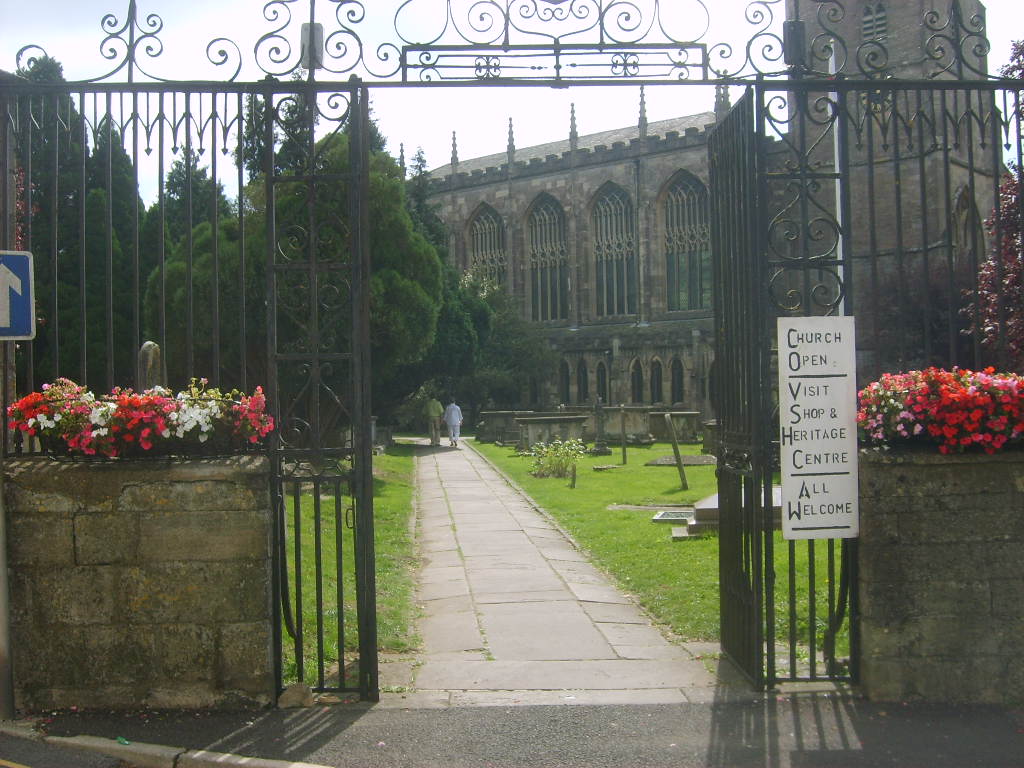
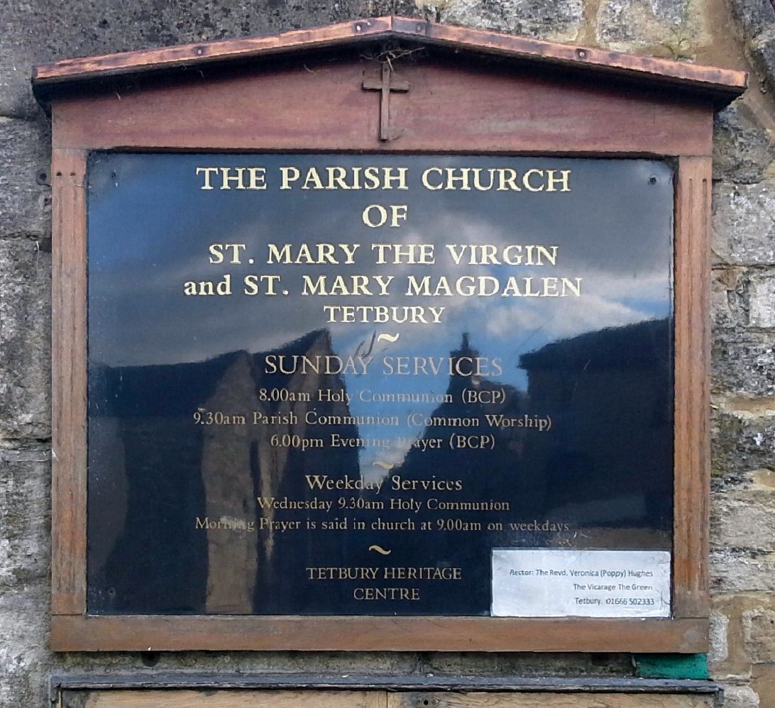
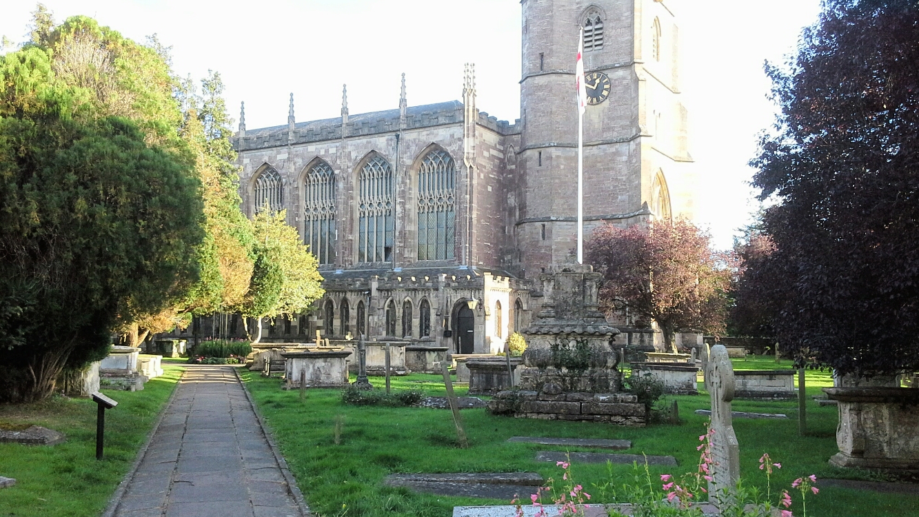
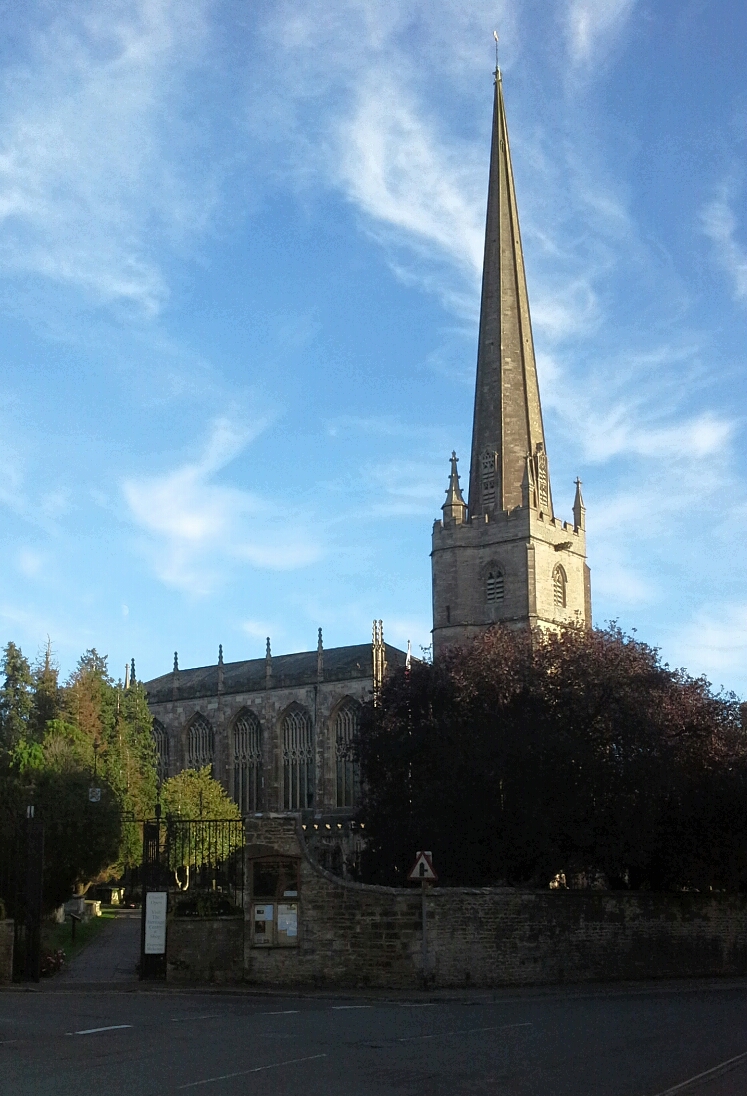
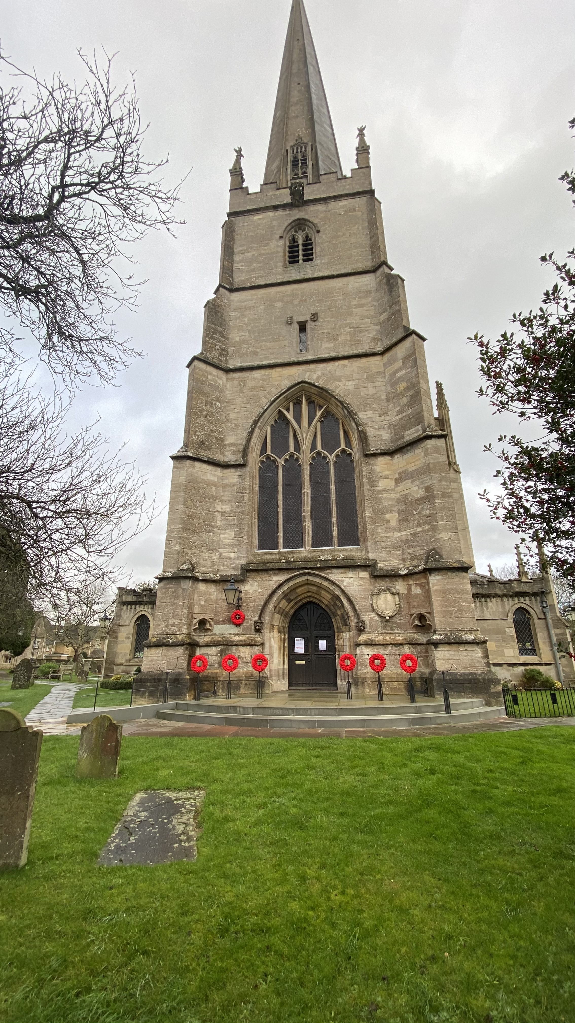
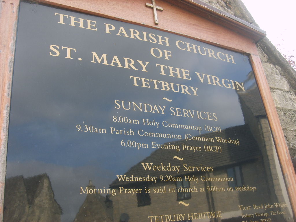
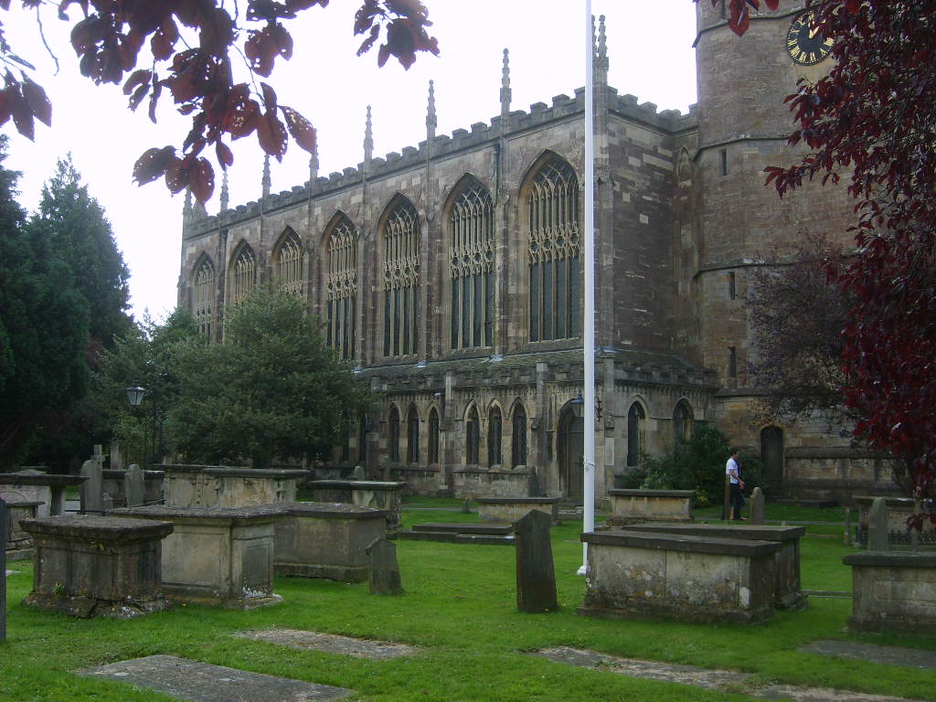
| Description | : | There has been a Christian place of worship on the site of St Marys' since at least 681 AD. It is thought to have been the location of Abbess Tetta's Monastery (some suggest this is the origin of the name Tetbury). The medieval church was demolished in 1777, with the exception of the tower and 186 feet spire. The current Anglican Church of St Mary the Virgin & St Mary Magdalen, designed by architect Francis Hiorne of Warwick, was opened in 1781. The church is regarded as a triumph of early gothic revival architecture. The tower and spire did eventually... Read More |
frequently asked questions (FAQ):
-
Where is St Mary the Virgin and St Mary Magdalen Church?
St Mary the Virgin and St Mary Magdalen Church is located at Tetbury, Cotswold District ,Gloucestershire ,England.
-
St Mary the Virgin and St Mary Magdalen Church cemetery's updated grave count on graveviews.com?
0 memorials
-
Where are the coordinates of the St Mary the Virgin and St Mary Magdalen Church?
Latitude: 51.6356080
Longitude: -2.1598860
Nearby Cemetories:
1. St. Michael's Churchyard
Tetbury Upton, Cotswold District, England
Coordinate: 51.6359632, -2.1585792
2. St Saviours Churchyard
Tetbury, Cotswold District, England
Coordinate: 51.6380160, -2.1630450
3. Holy Trinity Churchyard
Long Newnton, Cotswold District, England
Coordinate: 51.6308420, -2.1321200
4. St Mary the Virgin Churchyard
Beverston, Cotswold District, England
Coordinate: 51.6447450, -2.2013030
5. St John The Baptist Churchyard
Shipton Moyne, Cotswold District, England
Coordinate: 51.6052510, -2.1571120
6. St John the Baptist churchyard and extension
Brokenborough, Wiltshire Unitary Authority, England
Coordinate: 51.6022576, -2.1206102
7. Holy Cross Churchyard
Avening, Cotswold District, England
Coordinate: 51.6806190, -2.1755620
8. All Saints Churchyard
Crudwell, Wiltshire Unitary Authority, England
Coordinate: 51.6349050, -2.0644280
9. Leighterton Church Cemetery
Leighterton, Cotswold District, England
Coordinate: 51.6176900, -2.2518400
10. St Peter Churchyard
Rodmarton, Cotswold District, England
Coordinate: 51.6812230, -2.0841920
11. Minchinhampton Baptist Churchyard
Minchinhampton, Stroud District, England
Coordinate: 51.7039614, -2.1853756
12. St. John the Baptist Churchyard
Kingscote, Cotswold District, England
Coordinate: 51.6644230, -2.2640480
13. St. John the Baptist Churchyard
Charlton (North), Wiltshire Unitary Authority, England
Coordinate: 51.5995500, -2.0604800
14. Holy Trinity Churchyard
Minchinhampton, Stroud District, England
Coordinate: 51.7063600, -2.1860700
15. Holy Trinity Churchyard
Amberley, Stroud District, England
Coordinate: 51.7087660, -2.2177170
16. Amberley Church Cemetery
Amberley, Stroud District, England
Coordinate: 51.7091900, -2.2196100
17. Brimscombe Cemetery
Brimscombe, Stroud District, England
Coordinate: 51.7165900, -2.1900600
18. Priory Church of the Annunciation Churchyard
Woodchester, Stroud District, England
Coordinate: 51.7080680, -2.2305250
19. Amberley Methodist Church - Littleworth Wesleyan C
Amberley, Stroud District, England
Coordinate: 51.7123580, -2.2202540
20. Christ Church Churchyard
Chalford, Stroud District, England
Coordinate: 51.7214500, -2.1577900
21. St Nicholas Churchyard
Ozleworth, Cotswold District, England
Coordinate: 51.6380070, -2.2986530
22. St. Mary of the Angels Churchyard
Chalford, Stroud District, England
Coordinate: 51.7219000, -2.1708000
23. All Saints Churchyard
Corston, Wiltshire Unitary Authority, England
Coordinate: 51.5543570, -2.1085990
24. Chalford Baptist Tabernacle Churchyard
Chalford, Stroud District, England
Coordinate: 51.7226610, -2.1443260

