
| Memorials | : | 1 |
| Location | : | Goadby, Harborough District, England |
| Coordinate | : | 52.5497940, -0.8783680 |
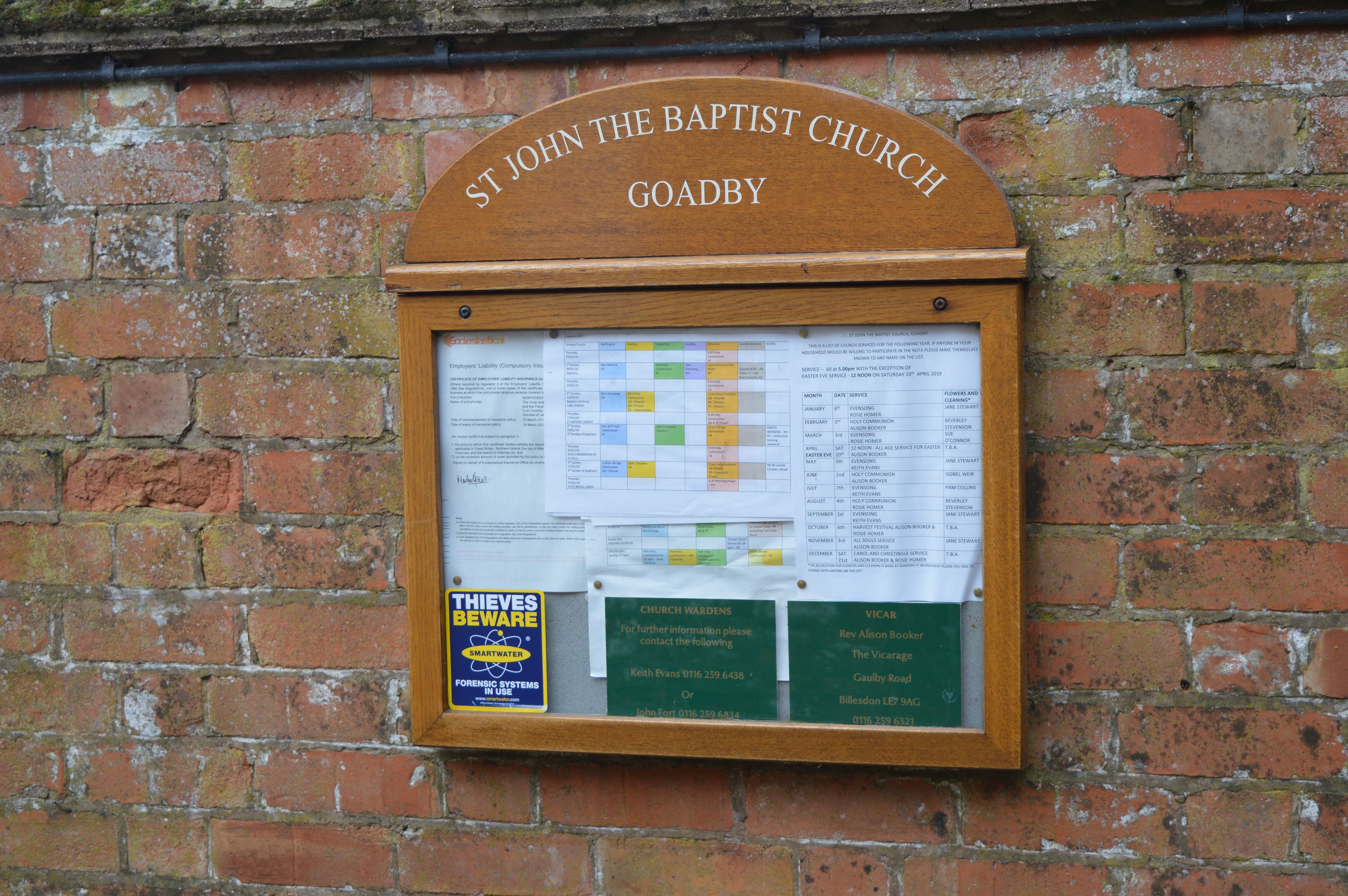
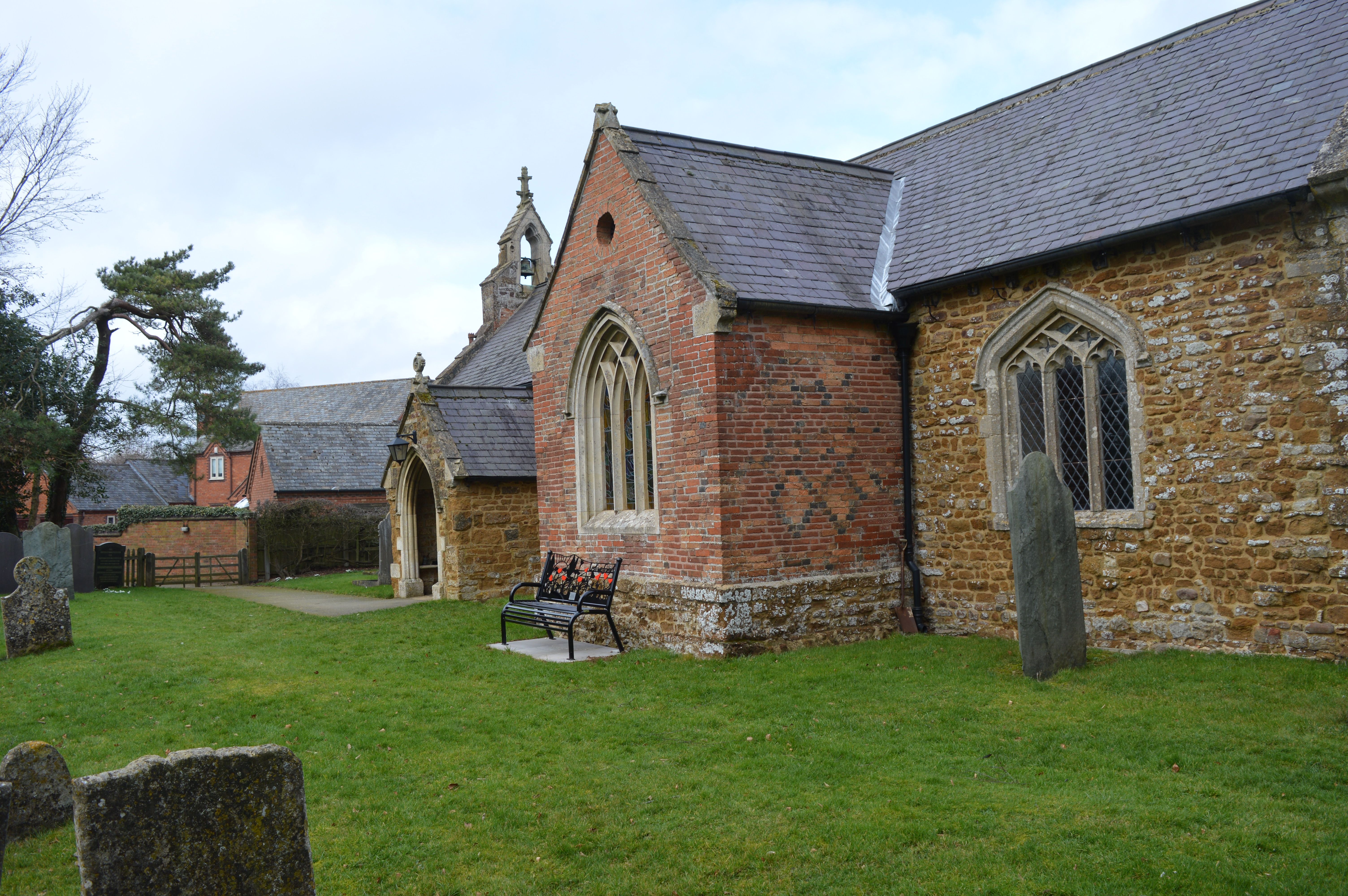
| Description | : | The church of St John the Baptist in Goadby was previously known as the church of St Denys. (https://britishlistedbuildings.co.uk/101115490-church-of-st-john-the-baptist-goadby states that the church of St. John the Baptist in Goadby was previously listed as St Denys. |
frequently asked questions (FAQ):
-
Where is St. John the Baptist Churchyard?
St. John the Baptist Churchyard is located at Goadby, Harborough District ,Leicestershire ,England.
-
St. John the Baptist Churchyard cemetery's updated grave count on graveviews.com?
1 memorials
-
Where are the coordinates of the St. John the Baptist Churchyard?
Latitude: 52.5497940
Longitude: -0.8783680
Nearby Cemetories:
1. St. John the Baptist Church Graveyard
Glooston, Harborough District, England
Coordinate: 52.5547690, -0.8959280
2. All Saints Churchyard
Slawston, Harborough District, England
Coordinate: 52.5428240, -0.8500170
3. St Michael and All Angels Churchyard
Hallaton, Harborough District, England
Coordinate: 52.5609190, -0.8411740
4. St Andrew's Churchyard
Welham, Harborough District, England
Coordinate: 52.5246240, -0.8733420
5. Thorpe Langton, St Leonard's Churchyard
Thorpe Langton, Harborough District, England
Coordinate: 52.5247101, -0.9104123
6. Noseley Parish Church
Noseley, Harborough District, England
Coordinate: 52.5792690, -0.9129710
7. St. Peter's Churchyard
Church Langton, Harborough District, England
Coordinate: 52.5335260, -0.9337150
8. St Giles Churchyard
Medbourne, Harborough District, England
Coordinate: 52.5296410, -0.8226870
9. St. Nicholas Church
Shangton, Harborough District, England
Coordinate: 52.5573280, -0.9458070
10. St. Andrews Churchyard
Tur Langton, Harborough District, England
Coordinate: 52.5442400, -0.9493500
11. St Mary's Churchyard
Nevill Holt, Harborough District, England
Coordinate: 52.5350180, -0.7977290
12. St. Thomas A. Becket Churchyard
Tugby, Harborough District, England
Coordinate: 52.6015640, -0.8766340
13. Great Bowden Cemetery
Great Bowden, Harborough District, England
Coordinate: 52.4916800, -0.8995200
14. St Michael and All Angels
Illston-on-the-Hill, Harborough District, England
Coordinate: 52.5870520, -0.9583040
15. St. Mary the Virgin Churchyard
Carlton Curlieu, Harborough District, England
Coordinate: 52.5686730, -0.9778820
16. Kibworth Natural Burial Area
Kibworth Harcourt, Harborough District, England
Coordinate: 52.5402749, -0.9845069
17. Kibworth Villages New Cemetery
Kibworth Beauchamp, Harborough District, England
Coordinate: 52.5403442, -0.9864463
18. St. Peter's Churchyard
Stockerston, Harborough District, England
Coordinate: 52.5687800, -0.7706600
19. All Saints Churchyard
Dingley, Kettering Borough, England
Coordinate: 52.4817700, -0.8682200
20. St Thomas a Becket Churchyard
Skeffington, Harborough District, England
Coordinate: 52.6163920, -0.9063090
21. St Wilfrid's Churchyard
Kibworth Beauchamp, Harborough District, England
Coordinate: 52.5410680, -0.9925480
22. St. Mary in Arden Churchyard
Market Harborough, Harborough District, England
Coordinate: 52.4804240, -0.9110140
23. St Peter Churchyard
Belton, Rutland Unitary Authority, England
Coordinate: 52.6038200, -0.7957000
24. St Mary the Virgin Churchyard
Brampton, Kettering Borough, England
Coordinate: 52.4797580, -0.8400370