
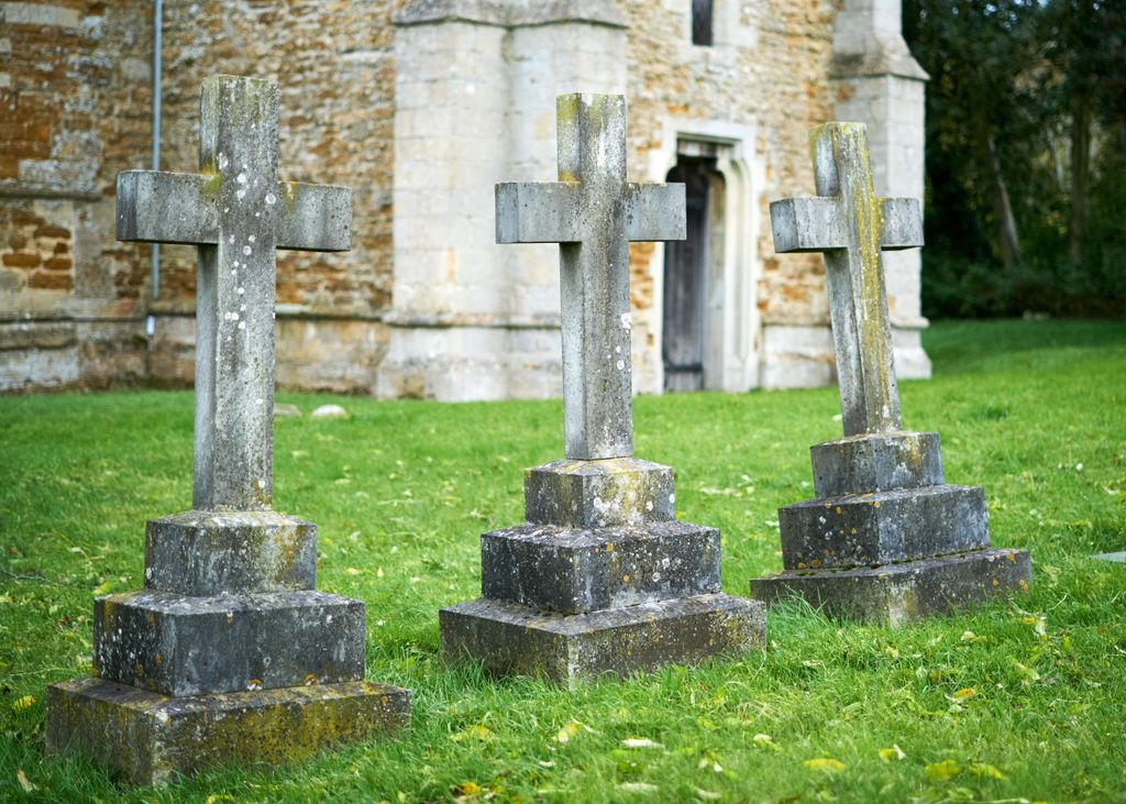
| Memorials | : | 7 |
| Location | : | Thorpe Langton, Harborough District, England |
| Coordinate | : | 52.5247101, -0.9104123 |
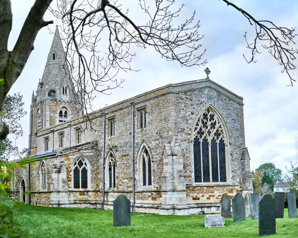
| Description | : | "Four miles north of Market Harborough is the small village of Thorpe Langton, which means 'long town' from the Anglo-Saxon. There was no burial ground until late in the 19th century, as the rights of burial remained with the mother church. In 1832 the villagers petitioned the archdeacon that the yard in which the chapel stood should be consecrated. After a restoration in 1868 by Joseph Goddard the reopening was reported by the Leicester Chronicle and Leicestershire Mercury where it was stated (15th Aug 1868) that the churchyard was not at that time used for burials and the question was... Read More |
frequently asked questions (FAQ):
-
Where is Thorpe Langton, St Leonard's Churchyard?
Thorpe Langton, St Leonard's Churchyard is located at Church Lane, Thorpe Langton, Market Harborough Thorpe Langton, Harborough District ,Leicestershire , LE16 7TREngland.
-
Thorpe Langton, St Leonard's Churchyard cemetery's updated grave count on graveviews.com?
7 memorials
-
Where are the coordinates of the Thorpe Langton, St Leonard's Churchyard?
Latitude: 52.5247101
Longitude: -0.9104123
Nearby Cemetories:
1. St. Peter's Churchyard
Church Langton, Harborough District, England
Coordinate: 52.5335260, -0.9337150
2. St Andrew's Churchyard
Welham, Harborough District, England
Coordinate: 52.5246240, -0.8733420
3. St. Andrews Churchyard
Tur Langton, Harborough District, England
Coordinate: 52.5442400, -0.9493500
4. St. John the Baptist Church Graveyard
Glooston, Harborough District, England
Coordinate: 52.5547690, -0.8959280
5. St. John the Baptist Churchyard
Goadby, Harborough District, England
Coordinate: 52.5497940, -0.8783680
6. Great Bowden Cemetery
Great Bowden, Harborough District, England
Coordinate: 52.4916800, -0.8995200
7. St. Nicholas Church
Shangton, Harborough District, England
Coordinate: 52.5573280, -0.9458070
8. All Saints Churchyard
Slawston, Harborough District, England
Coordinate: 52.5428240, -0.8500170
9. St Andrew Churchyard
Foxton, Harborough District, England
Coordinate: 52.5011100, -0.9716680
10. St. Mary in Arden Churchyard
Market Harborough, Harborough District, England
Coordinate: 52.4804240, -0.9110140
11. Foxton Cemetery
Foxton, Harborough District, England
Coordinate: 52.4998900, -0.9734000
12. St Dionysius Parish Church
Market Harborough, Harborough District, England
Coordinate: 52.4785850, -0.9213720
13. Kibworth Natural Burial Area
Kibworth Harcourt, Harborough District, England
Coordinate: 52.5402749, -0.9845069
14. Kibworth Villages New Cemetery
Kibworth Beauchamp, Harborough District, England
Coordinate: 52.5403442, -0.9864463
15. St. Nicholas Churchyard
Little Bowden, Harborough District, England
Coordinate: 52.4754180, -0.9114670
16. All Saints Churchyard
Dingley, Kettering Borough, England
Coordinate: 52.4817700, -0.8682200
17. St Wilfrid's Churchyard
Kibworth Beauchamp, Harborough District, England
Coordinate: 52.5410680, -0.9925480
18. St Giles Churchyard
Medbourne, Harborough District, England
Coordinate: 52.5296410, -0.8226870
19. Methodist Chapel Cemetery
Smeeton Westerby, Harborough District, England
Coordinate: 52.5292830, -0.9982648
20. Noseley Parish Church
Noseley, Harborough District, England
Coordinate: 52.5792690, -0.9129710
21. St Michael and All Angels Churchyard
Hallaton, Harborough District, England
Coordinate: 52.5609190, -0.8411740
22. Christ Churchyard
Smeeton Westerby, Harborough District, England
Coordinate: 52.5279300, -1.0027100
23. Market Harborough Cemetery
Market Harborough, Harborough District, England
Coordinate: 52.4684000, -0.9132760
24. All Saints Churchyard
Lubenham, Harborough District, England
Coordinate: 52.4770020, -0.9631870