
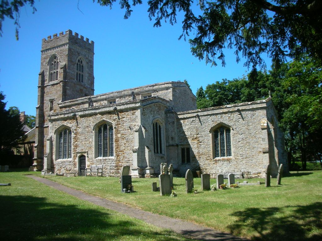
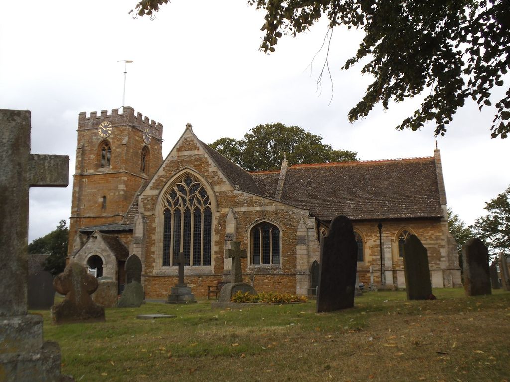
| Memorials | : | 0 |
| Location | : | Medbourne, Harborough District, England |
| Coordinate | : | 52.5296410, -0.8226870 |
frequently asked questions (FAQ):
-
Where is St Giles Churchyard?
St Giles Churchyard is located at Medbourne, Harborough District ,Leicestershire ,England.
-
St Giles Churchyard cemetery's updated grave count on graveviews.com?
0 memorials
-
Where are the coordinates of the St Giles Churchyard?
Latitude: 52.5296410
Longitude: -0.8226870
Nearby Cemetories:
1. St Mary's Churchyard
Nevill Holt, Harborough District, England
Coordinate: 52.5350180, -0.7977290
2. All Saints Churchyard
Slawston, Harborough District, England
Coordinate: 52.5428240, -0.8500170
3. St Andrew's Churchyard
Welham, Harborough District, England
Coordinate: 52.5246240, -0.8733420
4. St Michael and All Angels Churchyard
Hallaton, Harborough District, England
Coordinate: 52.5609190, -0.8411740
5. Saint Nicholas Cemetery
Bringhurst, Harborough District, England
Coordinate: 52.5216700, -0.7614220
6. Saint Nicholas Churchyard
Bringhurst, Harborough District, England
Coordinate: 52.5208900, -0.7613600
7. St. John the Baptist Churchyard
Goadby, Harborough District, England
Coordinate: 52.5497940, -0.8783680
8. St. Andrew's Churchyard
Great Easton, Harborough District, England
Coordinate: 52.5288590, -0.7525630
9. St Botolph Churchyard
Stoke Albany, Kettering Borough, England
Coordinate: 52.4865500, -0.8151720
10. All Saints Churchyard
Wilbarston, Kettering Borough, England
Coordinate: 52.4870920, -0.8056930
11. St. Andrew Churchyard Extension
Hallaton, Harborough District, England
Coordinate: 52.5308470, -0.7505850
12. Independant Chapel Cemetery
Great Easton, Harborough District, England
Coordinate: 52.5268820, -0.7472440
13. St Mary Magdalene
Cottingham, Corby Borough, England
Coordinate: 52.5008296, -0.7551008
14. St. Peter's Churchyard
Stockerston, Harborough District, England
Coordinate: 52.5687800, -0.7706600
15. St Mary the Virgin Churchyard
Brampton, Kettering Borough, England
Coordinate: 52.4797580, -0.8400370
16. St. John the Baptist Church Graveyard
Glooston, Harborough District, England
Coordinate: 52.5547690, -0.8959280
17. St. Mary's Churchyard
Brampton Ash, Kettering Borough, England
Coordinate: 52.4796000, -0.8402000
18. Thorpe Langton, St Leonard's Churchyard
Thorpe Langton, Harborough District, England
Coordinate: 52.5247101, -0.9104123
19. All Saints Churchyard
Dingley, Kettering Borough, England
Coordinate: 52.4817700, -0.8682200
20. St Andrew Churchyard
Stoke Dry, Rutland Unitary Authority, England
Coordinate: 52.5620632, -0.7394099
21. Great Bowden Cemetery
Great Bowden, Harborough District, England
Coordinate: 52.4916800, -0.8995200
22. St. John the Evangelist Churchyard
Caldecott, Rutland Unitary Authority, England
Coordinate: 52.5341600, -0.7213400
23. St. Peter's Churchyard
Church Langton, Harborough District, England
Coordinate: 52.5335260, -0.9337150
24. St. Mary in Arden Churchyard
Market Harborough, Harborough District, England
Coordinate: 52.4804240, -0.9110140